We can't find the internet
Attempting to reconnect
Something went wrong!
Hang in there while we get back on track
Price loading...
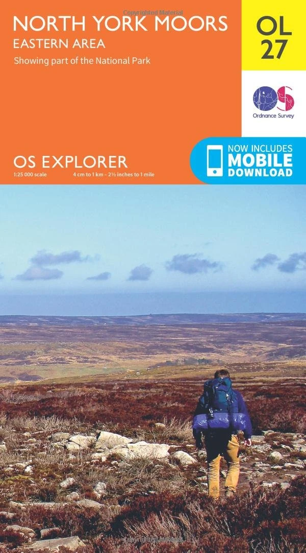
Ordnance Survey OS Explorer Map OL27 North York Moors East
Price data last checked 93 day(s) ago - refreshing...
Price History & Forecast
No Price Data Available
Price history will appear here once data is collected from Amazon.
Price Distribution
No price data available for histogram
Description
Key Features
Covers the Eastern area of the North York Moors including the historic port of Whitby and the coastal town of Scarborough.
Ideal for hiking and walking adventures across 1,400 miles of heather moorland and rugged coastal paths.
Guides travelers to picturesque fishing villages like Staithes and Robin Hood's Bay along the North Sea Trail.
Features detailed mapping of ancient ruins, traditional villages, and the highest cliffs in the country for safe navigation.
Produced by Ordnance Survey, a trusted brand for reliable outdoor maps and exploration tools in England.
Product Specifications
- Brand
- Ordnance Survey
- Format
- Map
- ASIN
- 0319242668
- Domain
- Amazon UK
- Release Date
- 10 June 2015
- Listed Since
- 09 March 2015
Barcode
No barcode data available
Similar Products You Might Like
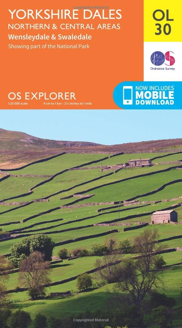
Ordnance Survey OS Explorer Map OL30 - Yorkshire Dales North
Ordnance Survey
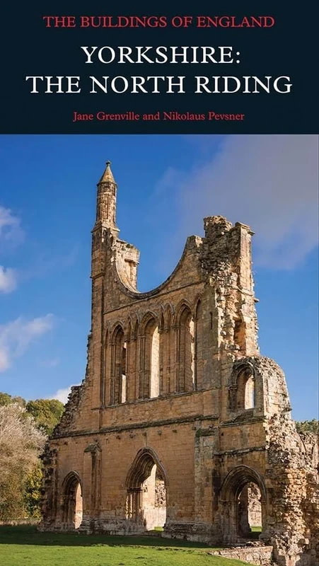
Yorkshire North Riding: The North Riding (Pevsner Architectural Guides: Buildings of England)
Yale University Press
York: British Historic Towns Atlas - Volume V: vol V
Oxbow Books
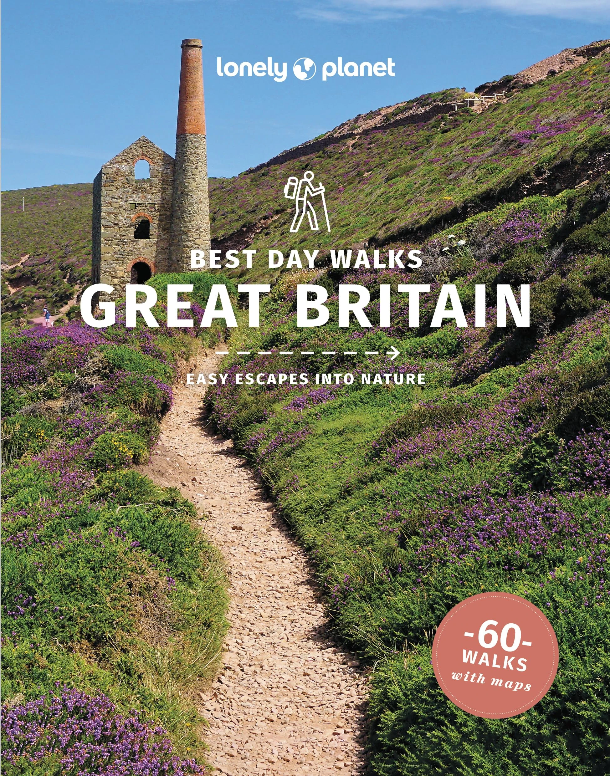
Lonely Planet Best Day Walks Great Britain - 60 Hiking Trails
Lonely Planet
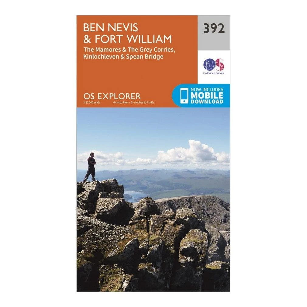
Ordnance Survey OS Explorer Map 392 - Ben Nevis & Fort William
Ordnance Survey
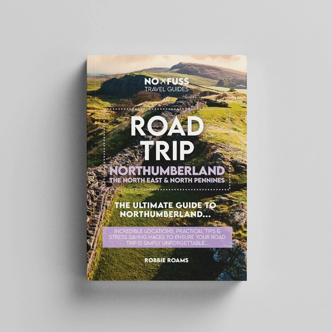
Road Trip Northumberland Guide Book - The Ultimate Guide to Northumberland 250, The North East & North Pennines by Robbie Roams
No Fuss Travel Guides
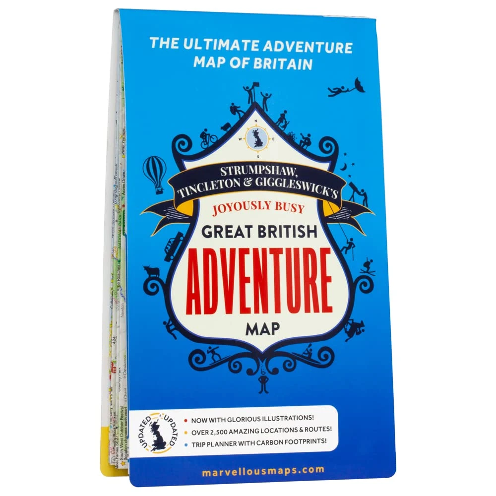
Great British Adventure Map | Updated for 2023 | Discover Britain | British Adventure Map & Guide | Holiday Planning | Days Out | British Geography (ST&G's Joyously Busy Great British Adventure Map)
Marvellous Maps
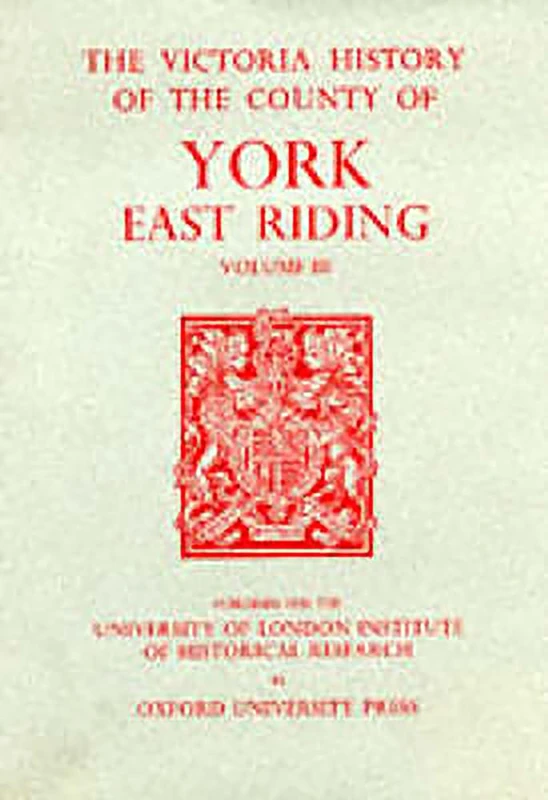
A A History of the County of York East Riding: Volume III: 3 (Victoria County History)
Victoria County History
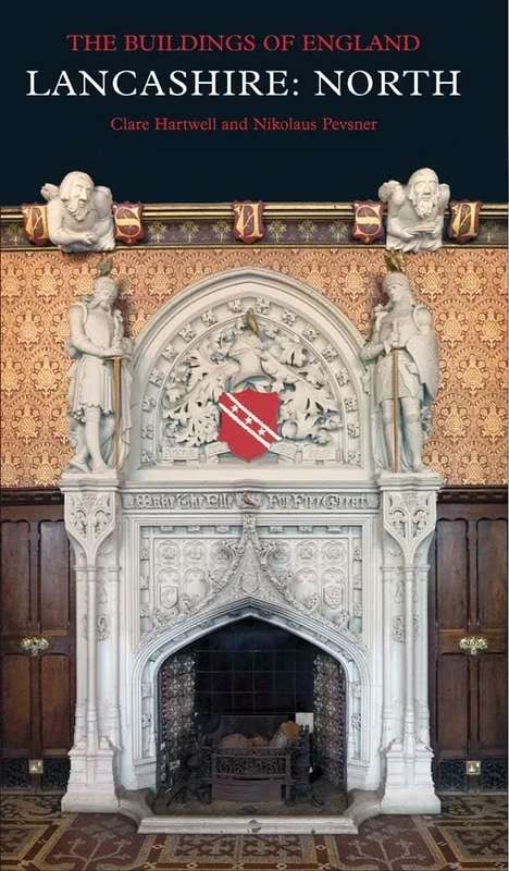
Lancashire: North: The Buildings of England (Pevsner Architectural Guides) (Pevsner Architectural Guides: Buildings of England)
Yale University Press
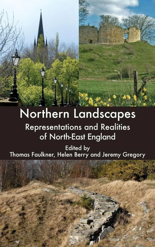
Northern Landscapes: Representations and Realities of North-East England
Boydell Press
A History of the Country of York: East Buckrose - Sledmere and the Northern Wolds v. 8: East Riding: East Buckrose - Sledmere and the Northern Wolds v. 8 (Victoria County History)
Victoria County History
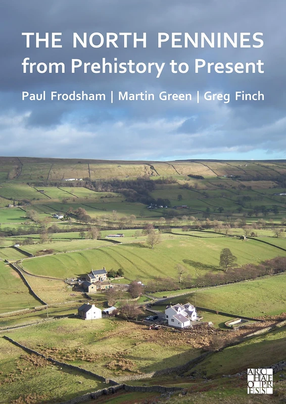
The North Pennines from Prehistory to Present
Archaeopress Archaeology
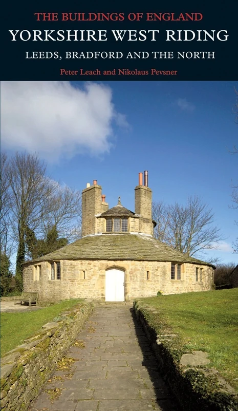
Yorkshire West Riding: Leeds, Bradford and the North (Pevsner Architectural Guides / Buildings of England)
Yale University Press
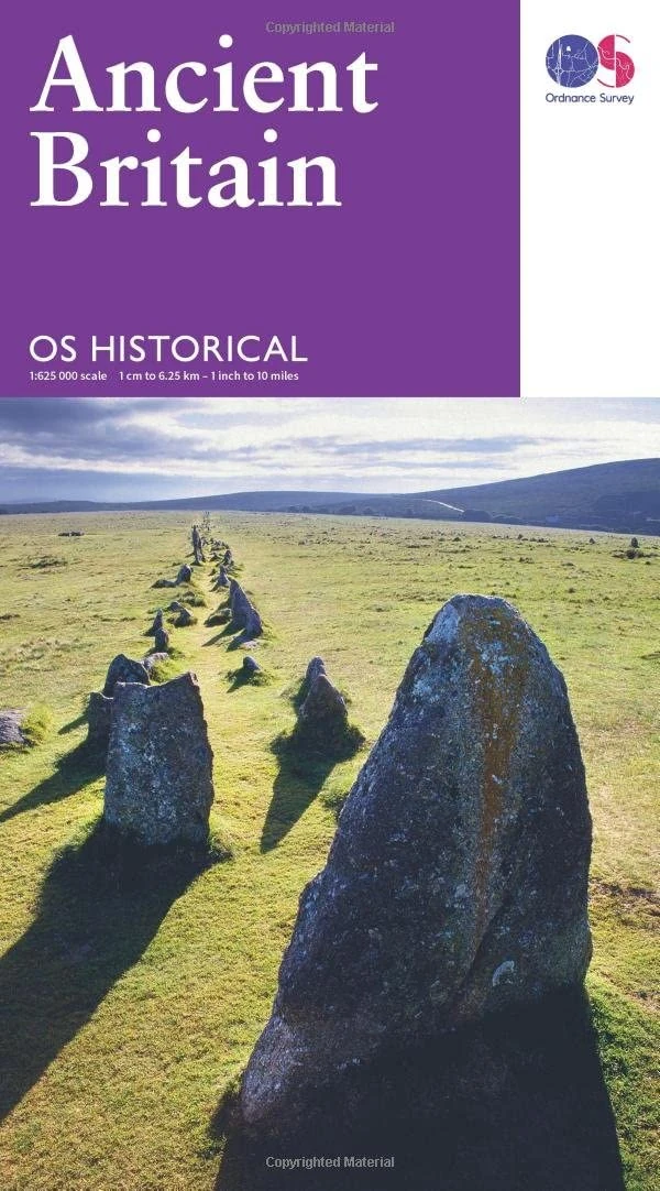
Map of Ancient Britain | Historical Map & Guide | Ordnance Survey | Roman Empire | Prehistoric Britain | History Gifts | Geography | British History
Ordnance Survey
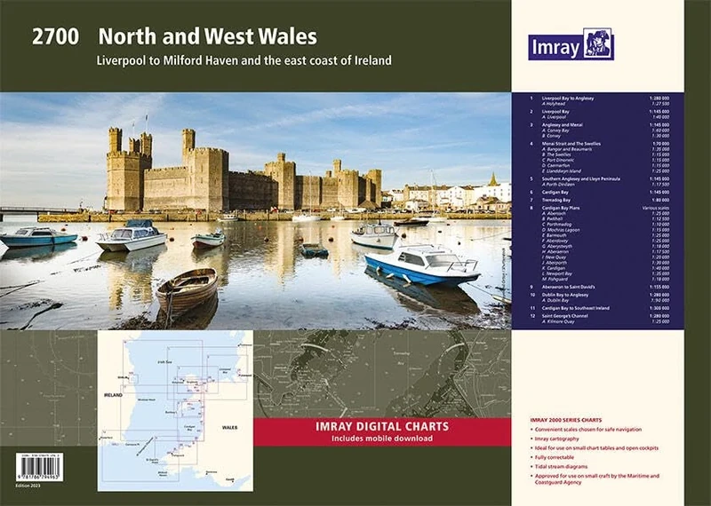
Imray 2700 North and West Wales Chart Pack: Liverpool to Milford Haven and the East Coast of Ireland (2000 Chart Packs)
Imray
A A History of the County of York East Riding: Volume IV: 4 (Victoria County History)
Oxford University Press
Imray 2300: Dorset and Devon Coasts Chart Pack (2000 Series)
Imray
Imray 2100 Chart Pack: Kent and Sussex Coasts (2000 Chart Packs)
Imray

Imray 2800 Chart Pack: Kintyre to Ardnamurchan Chart Pack Wiro Bound (2000 Series)
Imray
Imray 2800 Chart Pack: Kintyre to Ardnamurchan Chart Pack (2000 Chart Packs)
Imray
Old Oswestry Hillfort and its Landscape: Ancient Past, Uncertain Future
Archaeopress Archaeology

2300: Dorset and Devon Coasts Chart Pack Wiro Bound (2000)
Imray
The Wonder of the North: Fountains Abbey and Studley Royal (National Trust Monographs)
Boydell Press
2400 West Country Chart Pack: River Dart to the Isles of Scilly and Padstow (2000 Series)
Imray