We can't find the internet
Attempting to reconnect
Something went wrong!
Hang in there while we get back on track
£8.99
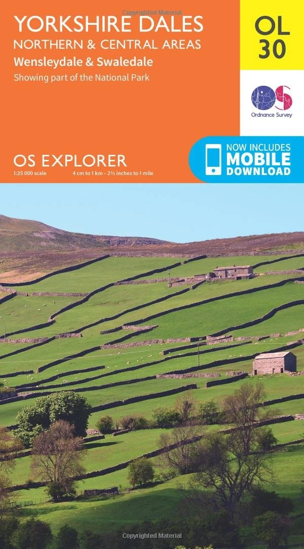
Ordnance Survey OS Explorer Map OL30 - Yorkshire Dales North
Orange
Price data last checked 50 day(s) ago - refreshing...
We'll watch every seller, every day. One email when your price arrives.
It has never been this cheap. We have no record of a lower price.
£9 today · cheaper than every other day in the last 3 months
NEW HERE?
Amazon shows you one price. We show you all of them.
Tosheroon watches Amazon prices so you don't have to. Every product on Amazon has a price history — we make it visible. Set the price you'd actually pay, and we'll email you the second it gets there. No app, no account, one email.
WHAT'S ON THIS PAGE
when this has been cheap or pricey
where the price is heading next
all-time high & low, recent range
name your number, we'll email you
Price History & Forecast
Grey patches = out of stock. Cheaper = lower on the chart. Hover for exact prices.
Last 41 days • 41 data points (No recent data available)
Price Distribution
Price distribution over 41 days • 1 price levels
Price Analysis
Most common price: £8.99 (41 days, 100.0%)
Price range: £8.99 - £8.99
Price levels: 1 different prices over 41 days
Description
Key Features
Covers the Northern and Central Yorkshire Dales National Park for comprehensive navigation across Swaledale, Arkengarthdale, and Wensleydale.
Highlights scenic attractions including waterfalls, high fells like Lovely Seat, and wildflower meadows perfect for hiking and wildlife spotting.
Features the famous 'James Herriot country' and landscapes from All Creatures Great and Small, ideal for literary tourism and exploration.
Includes detailed routes to stone villages such as Muker, Gunnerside, and Reeth, which is described as a paradise for cyclists.
Produced by Ordnance Survey to ensure accurate mapping for spotting native wildlife like hares, curlews, lapwings, and peregrine falcons.
Product Specifications
- Brand
- Ordnance Survey
- Colour
- Orange
- Size
- One Size
- Format
- map
- ASIN
- 0319263355
- Domain
- Amazon UK
- Release Date
- 19 September 2016
- Listed Since
- 22 April 2016
Barcode
No barcode data available
Similar Products You Might Like

Me To You Tatty Teddy Christmas Card From Our House To Yours, Tatty Teddy Peeking Through Letterbox 5x8ins - Official Collection
Me To You Bear
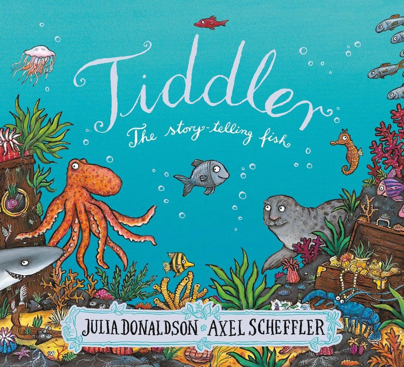
Scholastic Tiddler - Rhyming Picture Book by Julia Donaldson
Scholastic

Oxford Reading Tree Songbirds Phonics: Level 5: Class Pack of 36
Oxford University Press

Gureef Compatible with 604XL Ink Cartridges for Epson XP2200 Ink Compatible with XP 3200 XP 4200 XP-4205 XP-2205 XP-3205 WF-2935 (8 Pack)
Gureef
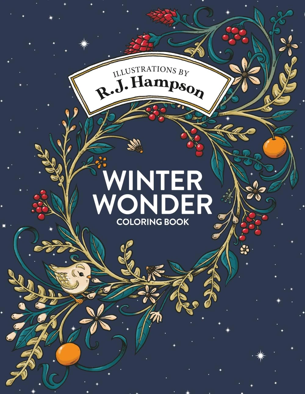
Winter Wonder Coloring Book (R.J. Hampson Signature Books)
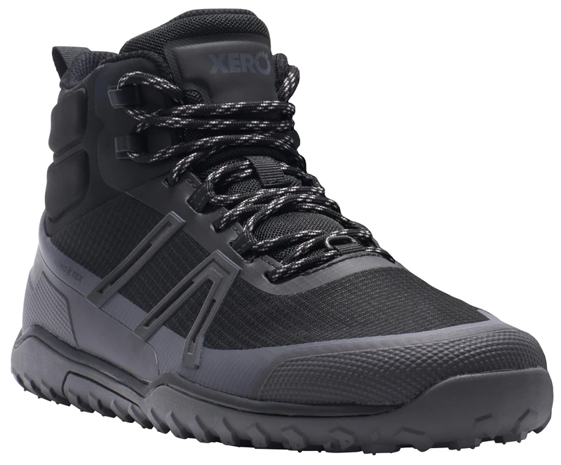
Xero Shoes Mens Scrambler Trail Mid WP Black/Asphalt UK 8
Xero Shoes

Quantitative Analysis for System Applications: Data Science and Analytics Tools and Techniques
Technics Publications

WESTFALIA Automotive 307575300113 wiring kit 13-pin and vehicle-specific for Ford Transit Box/Estate (including custom) (from year of manufacture 05/2016)
Westfalia
](/uploads/images/products/2/B000VA3J6G/52fdcf60-282b-4e1d-ac40-b229385899ab.webp)
The Two Ronnies : The Complete BBC Christmas Specials [DVD](Packaging may Vary)
Spirit Entertainment
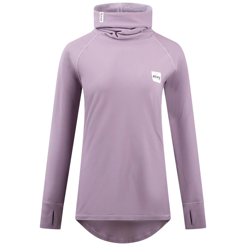
Eivy ICECOLD Gaiter Rib Top Functional Shirt Ski Underwear Deep Purple
EIVY

POP MART PUCKY Poko's Adventure Series Figures 1Box Premium Design Gifts for Women Fan-Favorite Collectible Chic Art Toy Action Figure
POP MART
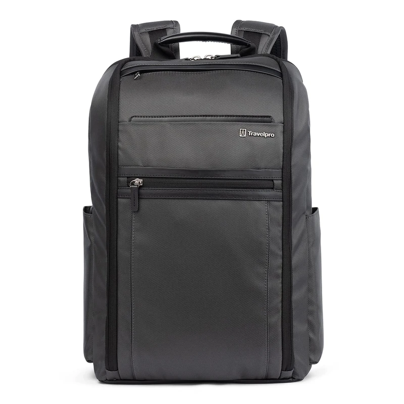
Travelpro Unisex's Executive Choice 3.0 Slim Backpack, Titanium Grey
Travelpro

Latin American Political Yearbook: 2001: 4
Routledge

The International Politics of Climate Change (Elgar Mini Series)
Edward Elgar Publishing

Wildlife Science: Linking Ecological Theory and Management Applications
CRC Press
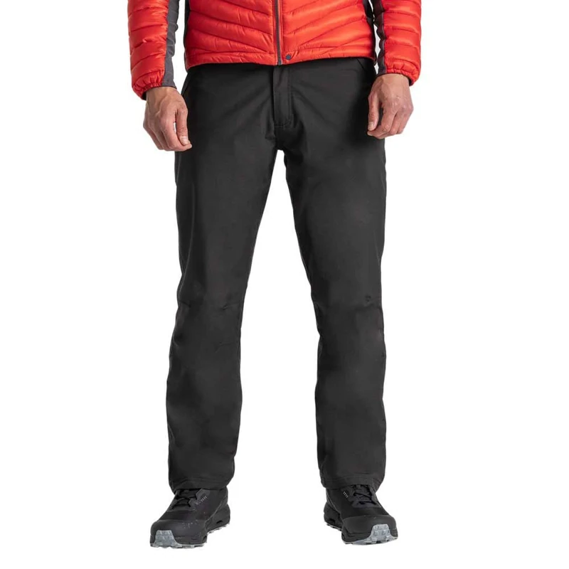
Craghoppers Mens Steall Thermo Trousers Hiking Pants, Black, 32 EU
Craghoppers
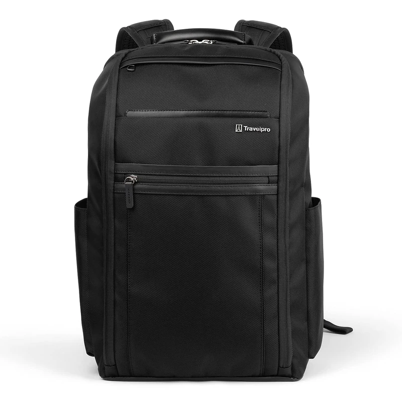
Travelpro Unisex's Executive Choice 3.0 Slim Backpack, Jet Black
Travelpro

LTB Jeans Women's Valerie Bootcut Jeans,Blue (Camenta Wash 51273), W28/L32
LTB

Burg Wächter eBoxx 41970 Parcel Box for Outdoor Use, for All Standard Parcel Services, Weather-Resistant, Galvanised Steel, 20 L Volume, A 625 ANT, Anthracite (Similar to RAL 7016)
Burg-Wächter
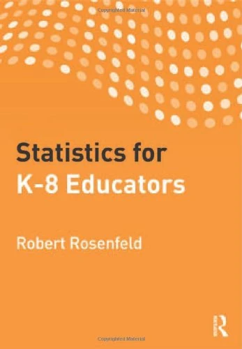
Routledge Statistics for K-8 Educators - Math Reference Book
Routledge

COOKING VINYL Reflections Silver Vinyl - Signed Amazon UK Exclusive
COOKING VINYL

Mom+Pop Western Pleasure Vinyl - Chaparelle Apple Red Edition
Mom+Pop

Mohawk Home 7' 6" x 10' Non Slip Rug Pad Gripper 1/4 Thick Dual Surface Felt + Rubber Gripper - Safe for All Floors
Mohawk Home
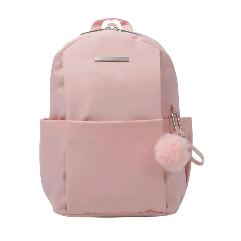
Totto - Backpack for 14 Inch Laptop, Model Adelaide 1, 3 Compartments, 2 Bottle Pockets, Secret Pocket, Strap for Hanging Suitcase, Durable, Peach 2.0, pink, M, Casual
Totto