We can't find the internet
Attempting to reconnect
Something went wrong
Hang in there while we get back on track
£64.94
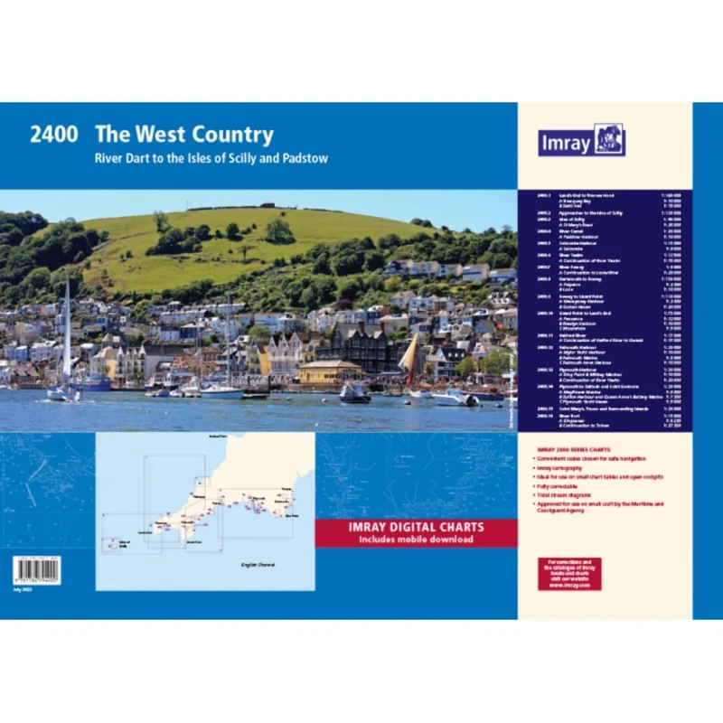
Imray 2400 West Country Chart Pack: River Dart to the Isles of Scilly and Padstow (2000 Series)
Price data last checked 38 day(s) ago - refreshing...
We'll watch every seller, every day. One email when your price arrives.
This is the most expensive it has ever been. Walk away.
£65 today · previous high £65 · all-time low £46
NEW HERE?
Amazon shows you one price. We show you all of them.
Tosheroon watches Amazon prices so you don't have to. Every product on Amazon has a price history — we make it visible. Set the price you'd actually pay, and we'll email you the second it gets there. No app, no account, one email.
WHAT'S ON THIS PAGE
when this has been cheap or pricey
where the price is heading next
all-time high & low, recent range
name your number, we'll email you
Price History & Forecast
Grey patches = out of stock. Cheaper = lower on the chart. Hover for exact prices.
Last 53 days · 53 data points (no recent data)
Price Distribution
Price distribution over 53 days • 5 price levels
Price Analysis
Most common price: £48 (25 days, 47.2%)
Price range: £46 - £65
Price levels: 5 different prices over 53 days
Description
Product Specifications
- Brand
- Imray
- Format
- map
- ASIN
- 1786794004
- Domain
- Amazon UK
- Release Date
- 26 August 2022
- Listed Since
- 12 July 2022
Barcode
No barcode data available
Similar Products You Might Like

2300: Dorset and Devon Coasts Chart Pack Wiro Bound (2000)
Imray
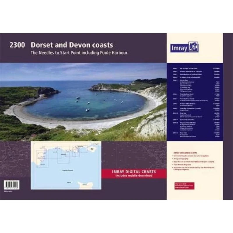
Imray 2300: Dorset and Devon Coasts Chart Pack (2000 Series)
Imray
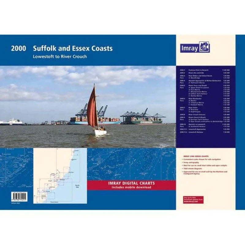
2000 Suffolk and Essex Chart Pack: Lowestoft to River Crouch (2000 Series)
Imray
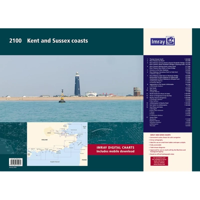
Imray 2100 Chart Pack: Kent and Sussex Coasts (2000 Chart Packs): Thames Estuary to the Solent
Imray
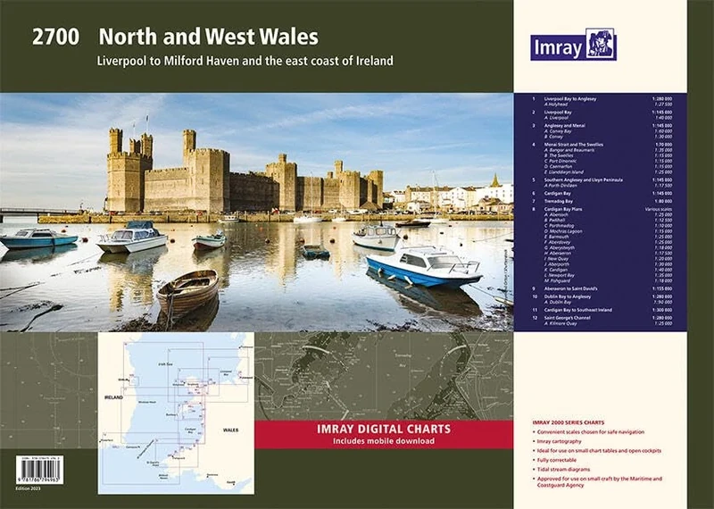
Imray 2700 North and West Wales Chart Pack: Liverpool to Milford Haven and the East Coast of Ireland (2000 Chart Packs)
Imray
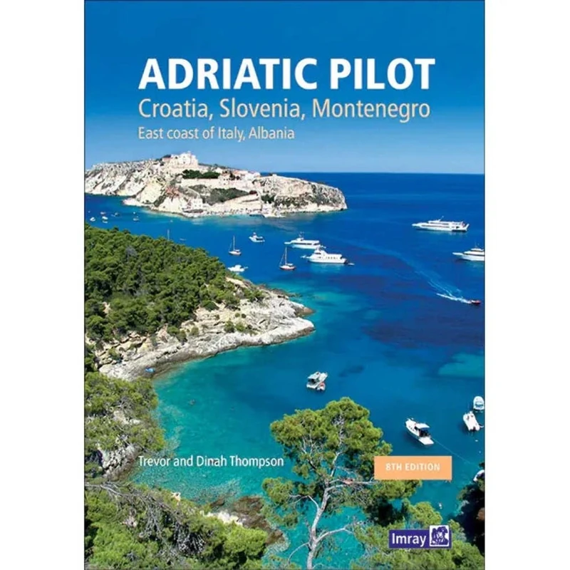
Adriatic Pilot: Croatia, Slovenia, Montenegro, East Coast of Italy, Albania
Lonely Planet
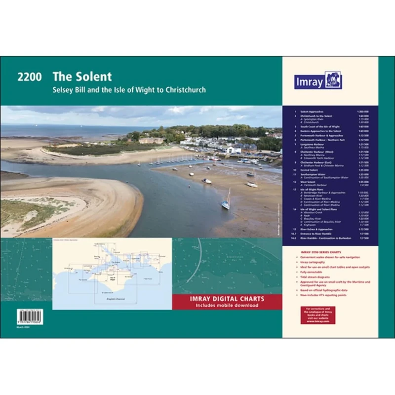
Imray 2200 The Solent Chart Pack Wiro-bound: Selsey Bill and the Isle of Wight to Christchurch (2000 Series)
Imray
Imray 2200 Chart Pack: The Solent (2000 Chart series): Selsey Bill and the Isle of Wight to Christchurch
Imray
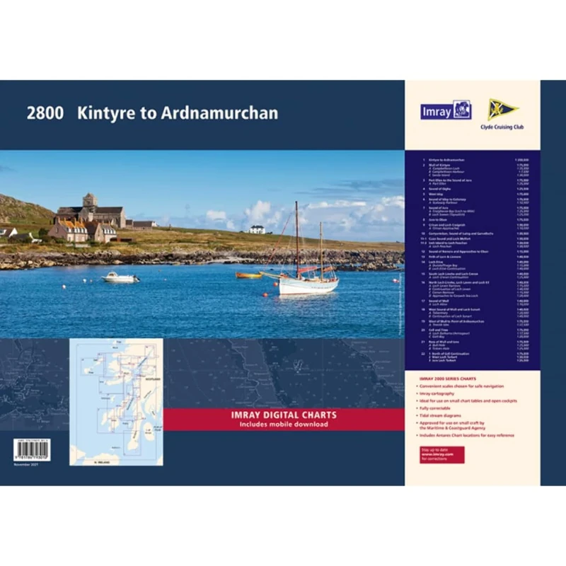
Imray 2800 Chart Pack: Kintyre to Ardnamurchan Chart Pack (2000 Chart Packs)
Imray

Imray 2800 Chart Pack: Kintyre to Ardnamurchan Chart Pack Wiro Bound (2000 Series)
Imray
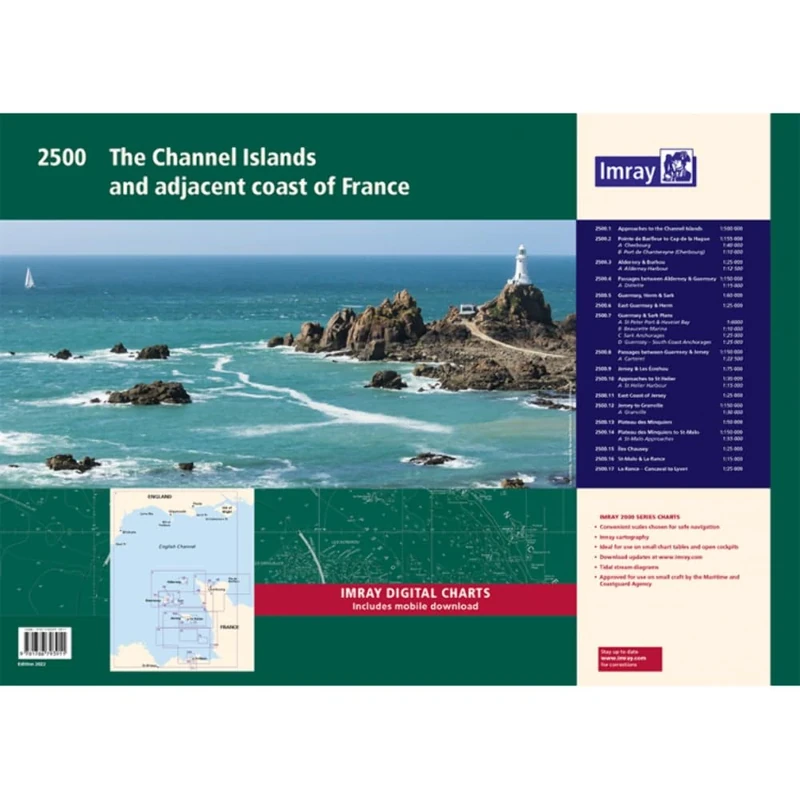
Imray 2500 Chart Pack: The Channel Islands and adjacent coast of France (2000 Series)
Imray
Connect 34337 HDSCS Connector Assorted Kit - 265pc
Connect
COPIC Ciao Coloured Marker Pen - Set of 36 E, For Art & Crafts, Colouring, Graphics, Highlighter, Design, Anime, Professional & Beginners, Art Supplies & Colouring Books
Copic
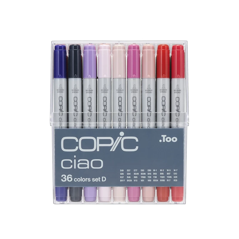
Copic Ciao Coloured Marker Pen - Set of 36 D, For Art & Crafts, Colouring, Graphics, Highlighter, Design, Anime, Professional & Beginners, Art Supplies & Colouring Books
Copic
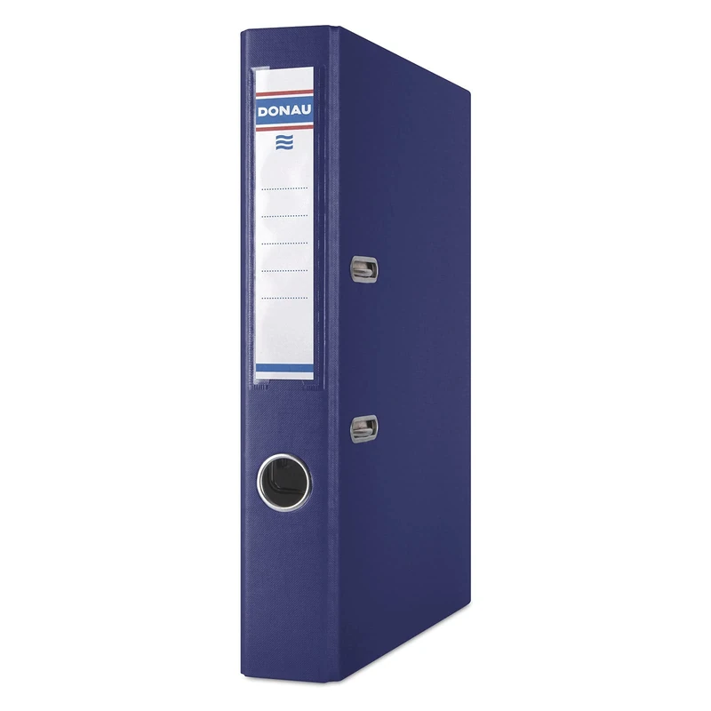
Donau Master Folder, Slim, Pack of 25, DIN A4, 5 cm, 25 Pieces, Navy, Plastic Cover PP/Carton Paper, Slotted Folder, Office Folder, Ring Binder, Green Dot
OFFICER PRODUCTS
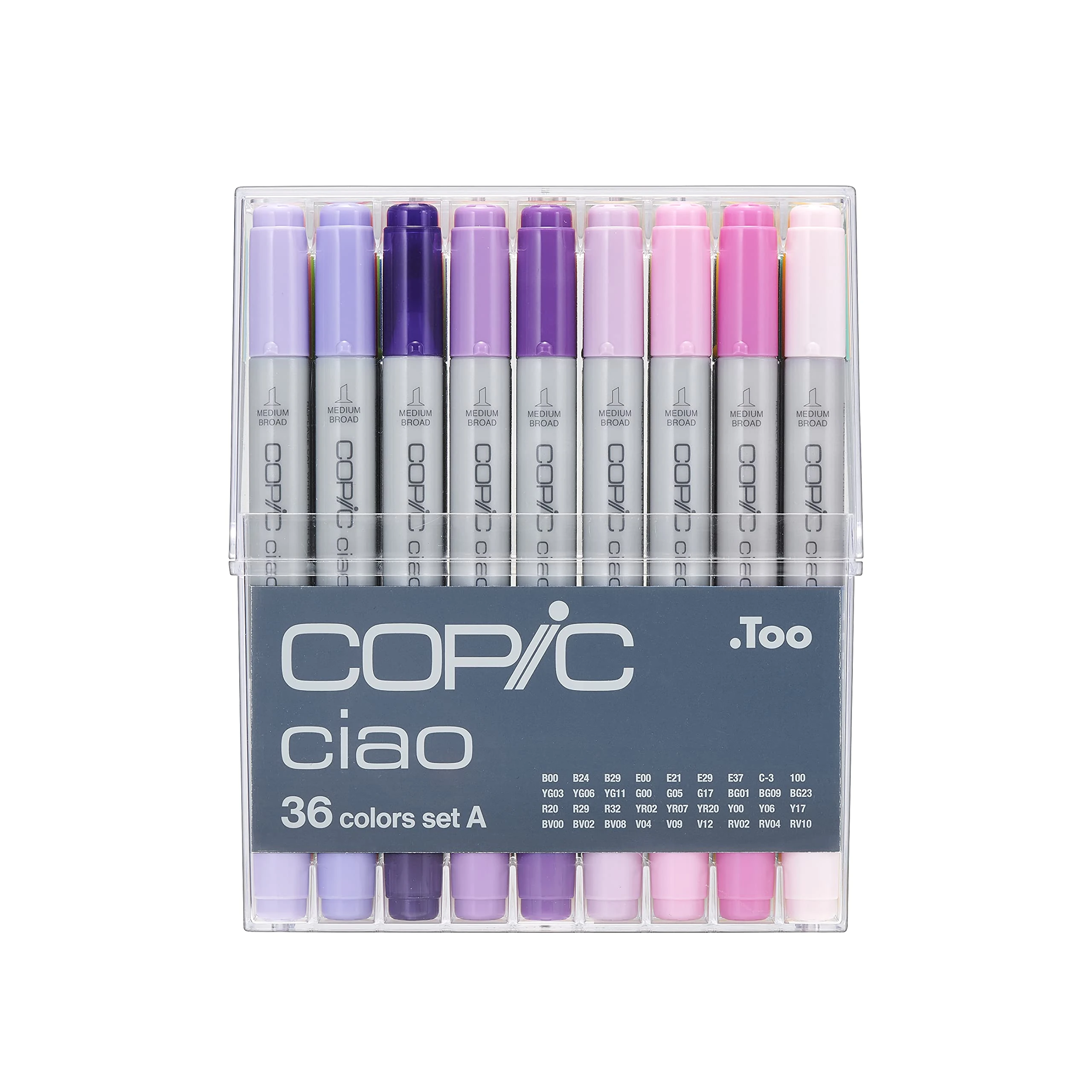
Copic Ciao Coloured Marker Set of 36 - Set A Art Supplies
Copic
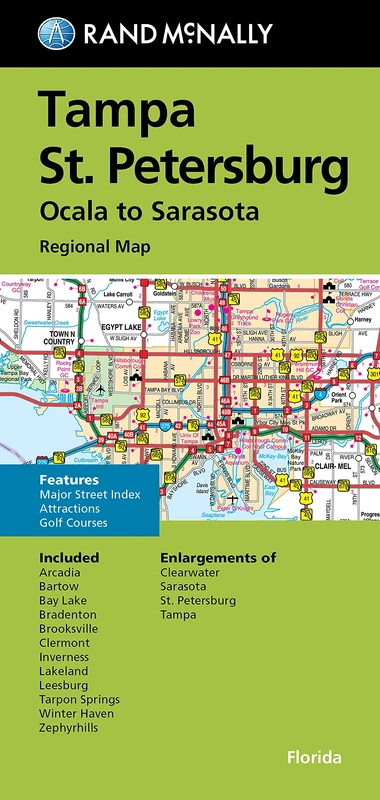
FM TAMPA / ST. PETE FL REGIONAL
Rand McNally
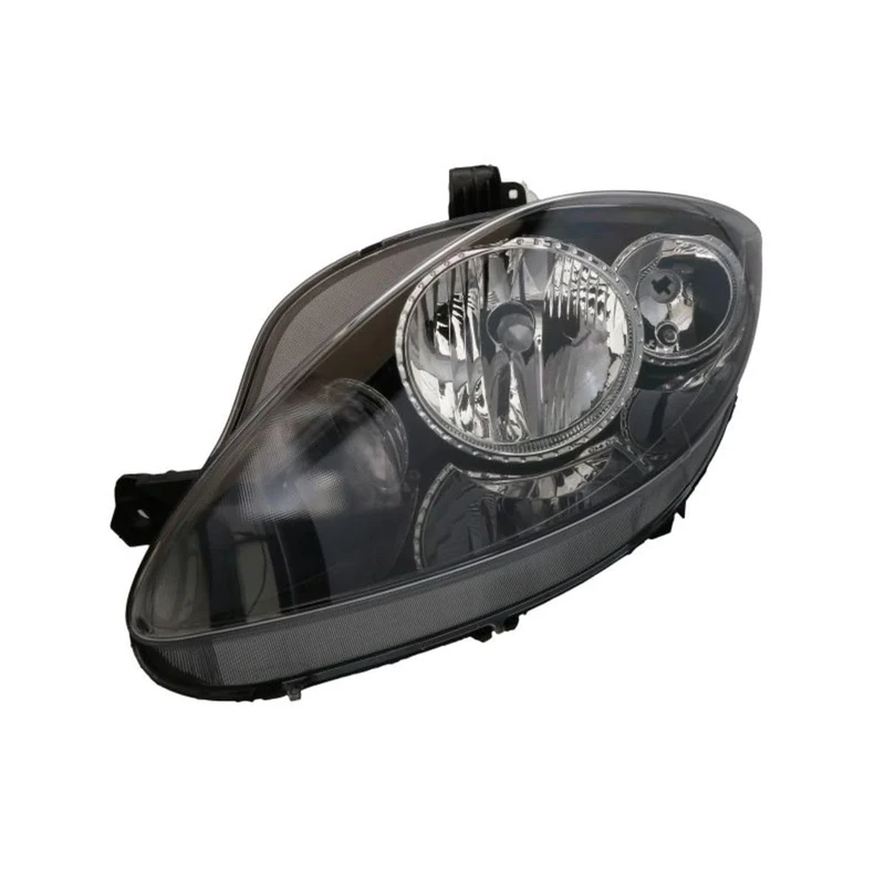
VALEO - 43337 - High Performance Halogen Left Main Headlamp - For SEAT Altea 04/2007 > 2009/03 - Front - Left side - Pack of 1
Valeo
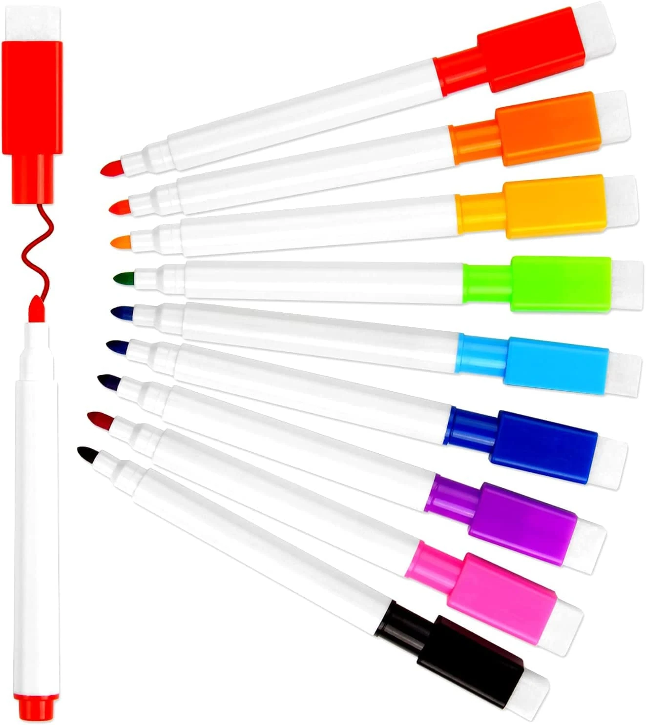
VEYLIN 9 Piece Whiteboard Marker Set with Eraser and Magnet
VEYLIN

Viking Signs PC539-A1L-3M "No Vehicles Allowed Beyond This Point" Sign, 3 mm Rigid Plastic, 600 mm H x 800 mm W
Viking Signs
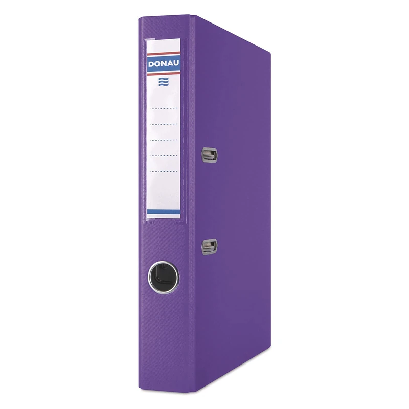
Donau Master Folder Slim Pack of 25 DIN A4 5 cm Purple Plastic Cover PP Carton Paper Slotted Folder Ring Binder Green Dot
OFFICER PRODUCTS
Price unavailable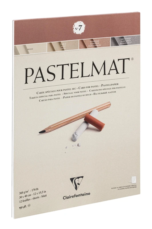
Clairefontaine Pastelmat Glued Pad 30x40 cm - 12 Sheets
Clairefontaine
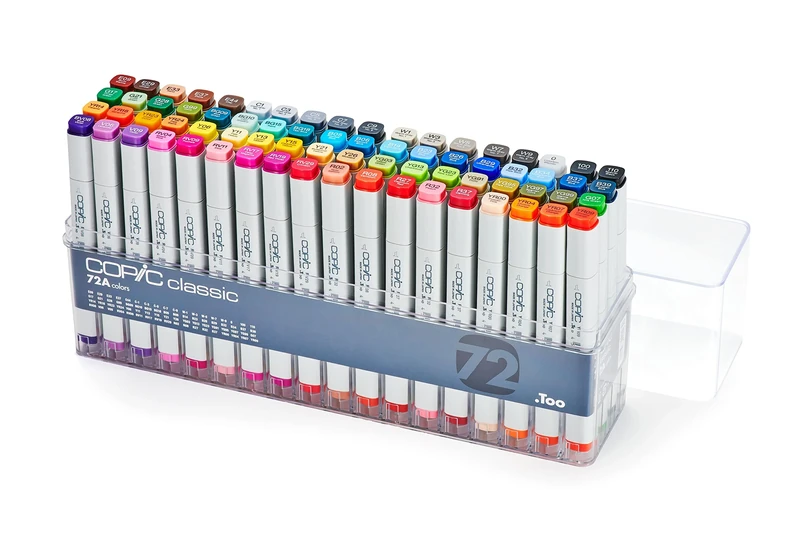
COPIC Classic Coloured Marker Pen - Set of 72 A, For Art & Crafts, Colouring, Graphics, Highlighter, Design, Anime, Professional & Beginners, Art Supplies & Colouring Books
Copic
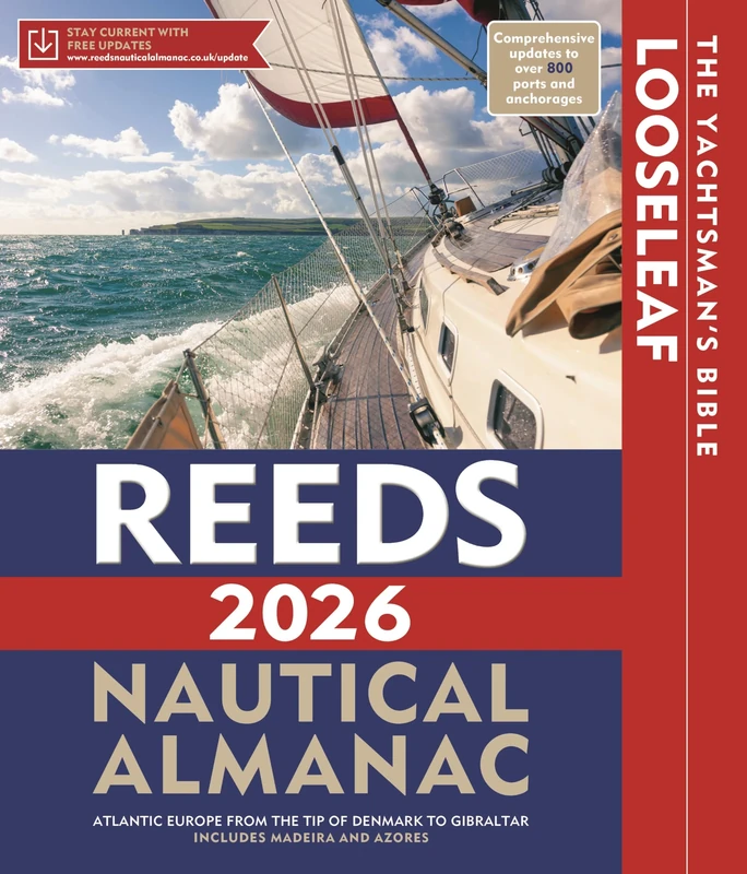
Reeds Looseleaf Almanac 2026 (with binder) (Reed's Almanac)
Reeds