We can't find the internet
Attempting to reconnect
Something went wrong
Hang in there while we get back on track
£41.47
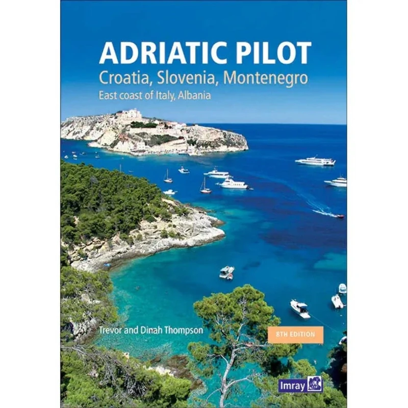
Lonely Planet Adriatic Pilot: Croatia, Slovenia, Montenegro, East Coast of Italy, Albania
Price data last checked 42 day(s) ago - refreshing...
We'll watch every seller, every day. One email when your price arrives.
About as cheap as it gets. The only time it was cheaper was 2 months ago.
£41 today · all-time low £40 (May 2026) · usually the usual
NEW HERE?
Amazon shows you one price. We show you all of them.
Tosheroon watches Amazon prices so you don't have to. Every product on Amazon has a price history — we make it visible. Set the price you'd actually pay, and we'll email you the second it gets there. No app, no account, one email.
WHAT'S ON THIS PAGE
when this has been cheap or pricey
where the price is heading next
all-time high & low, recent range
name your number, we'll email you
Price History & Forecast
Grey patches = out of stock. Cheaper = lower on the chart. Hover for exact prices.
Last 49 days · 49 data points (no recent data)
Price Distribution
Price distribution over 49 days • 4 price levels
Price Analysis
Most common price: £43 (22 days, 44.9%)
Price range: £40 - £43
Price levels: 4 different prices over 49 days
Description
Key Features
New Store Stock
Product Specifications
- Brand
- Lonely Planet
- Format
- hardcover
- ASIN
- 1786790211
- Domain
- Amazon UK
- Release Date
- 28 February 2020
- Listed Since
- 18 October 2019
Barcode
No barcode data available
Similar Products You Might Like
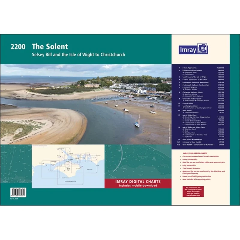
Imray 2200 The Solent Chart Pack Wiro-bound: Selsey Bill and the Isle of Wight to Christchurch (2000 Series)
Imray
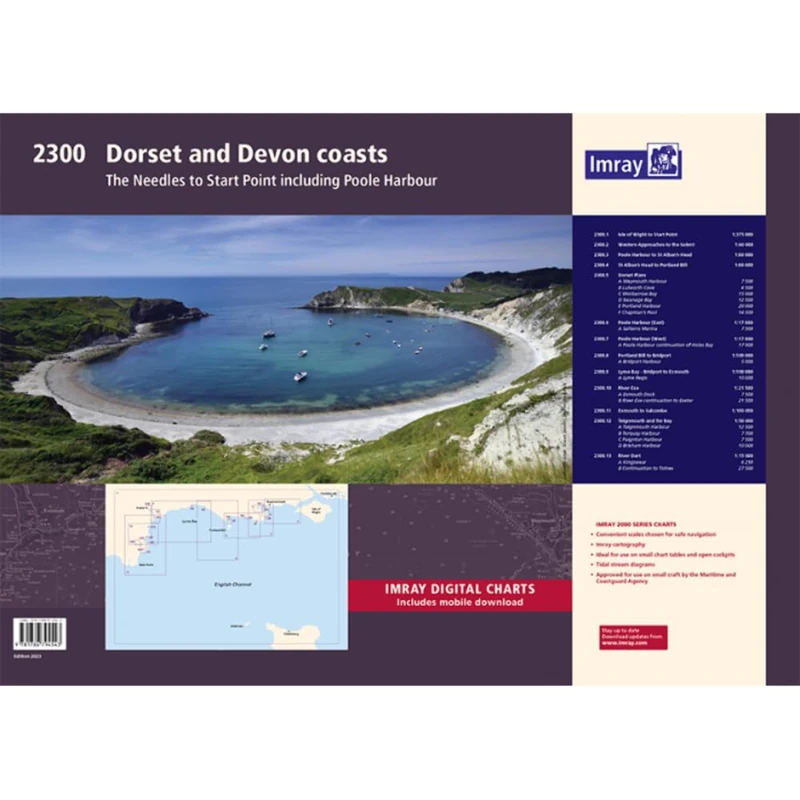
2300: Dorset and Devon Coasts Chart Pack Wiro Bound (2000)
Imray
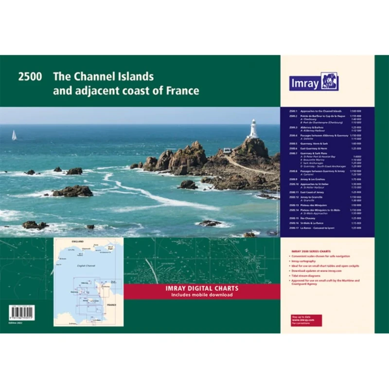
Imray 2500 Chart Pack: The Channel Islands and adjacent coast of France (2000 Series)
Imray
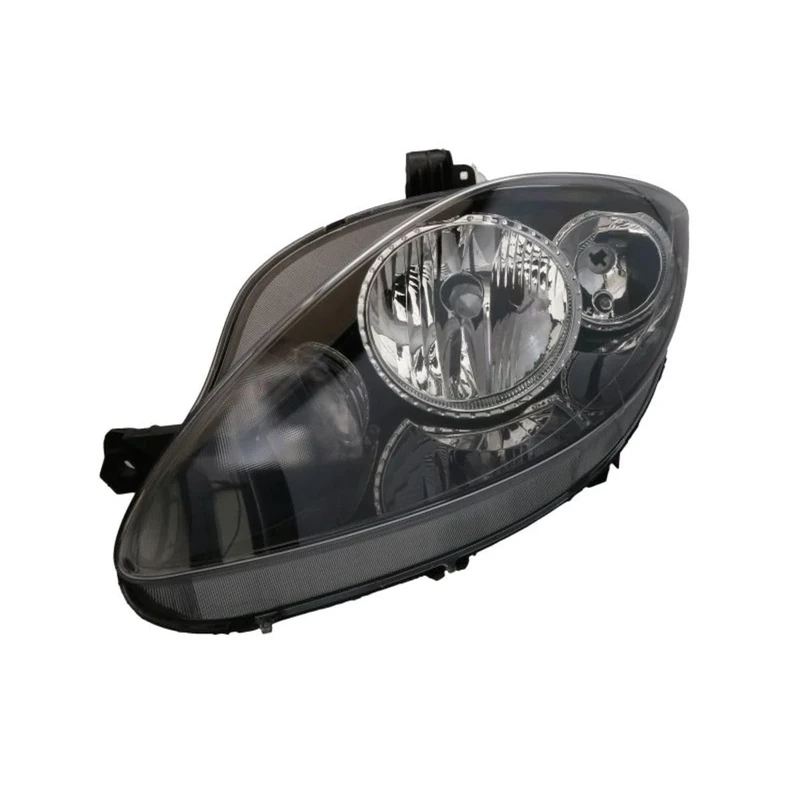
VALEO - 43337 - High Performance Halogen Left Main Headlamp - For SEAT Altea 04/2007 > 2009/03 - Front - Left side - Pack of 1
Valeo
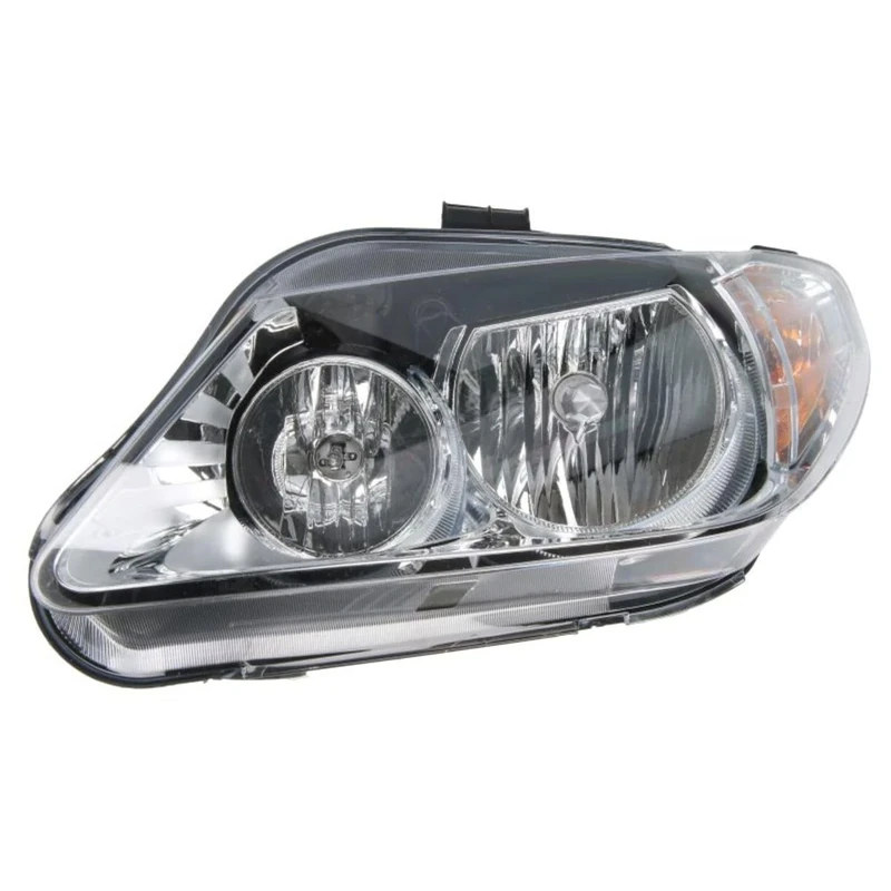
Valeo - 43920 - High Performance Halogen Left Main Headlamp - For SEAT Exeo 12/2008 > 2013/12 - Front - Left side - Pack of 1
Valeo
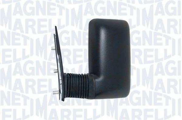
Magneti Marelli 500325727 Left Manual Mirror, Medium Arm
Magneti Marelli

Star Trek: Discovery Complete Series
Paramount Home Entertainment
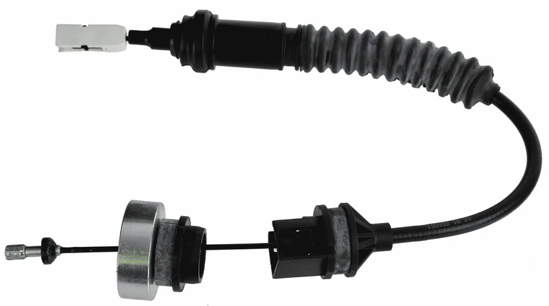
SACHS 3074 600 250 Cable Pull Clutch Control Compatible for Citroen Berlingo Box Body/Mpv (M_) 1996-2011 and Other Vehicles
SACHS
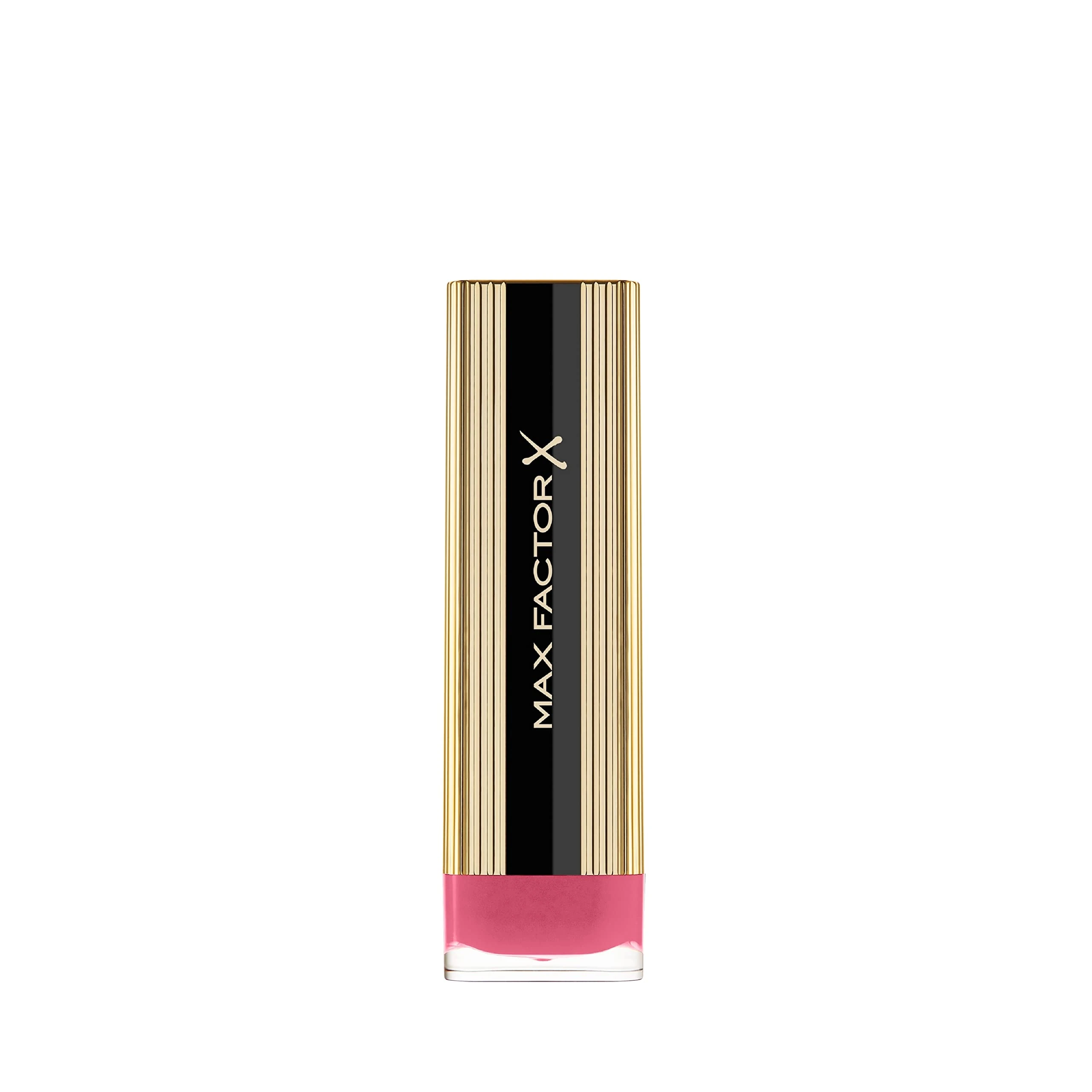
Max Factor Colour Elixir Lipstick - English Rose 090
Max Factor
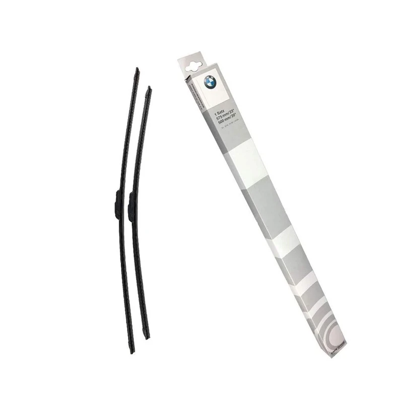
BMW Genuine Wiper Blades Set 61612183576
BMW
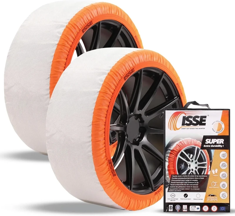
ISSE SUPER 2024 Cadenas de nieve textiles para coche Talla 66
Isse
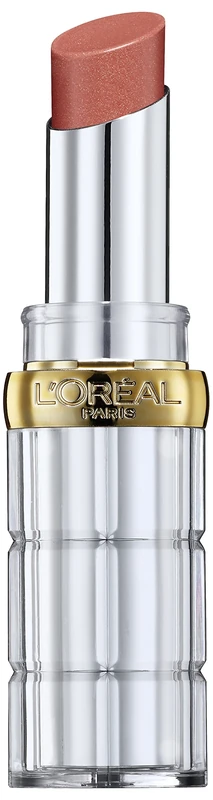
L'Oreal Paris Color Riche Shine Plump Lipstick - 660 Get Nude
L'Oreal Paris
Price unavailable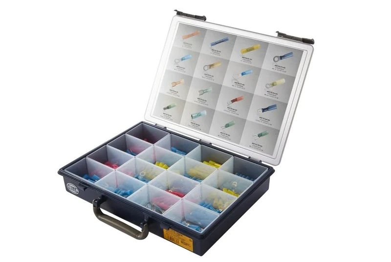
HELLA 8KW 009 253-801 Cable Connector Kit - Kit - Quantity: 240
HELLA
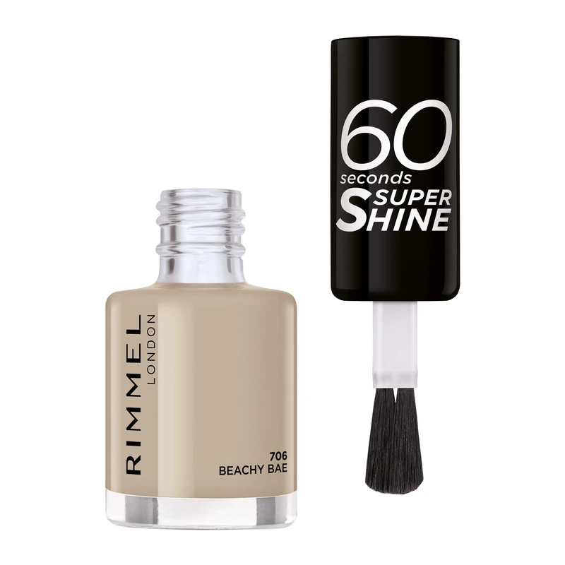
Rimmel 60 Seconds Super Shine Nail Polish - 8 ml
Rimmel
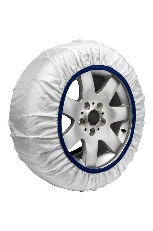
Easysock Easy Sock Set of 2 Textile Car Snow Chains Size XL
Easysock
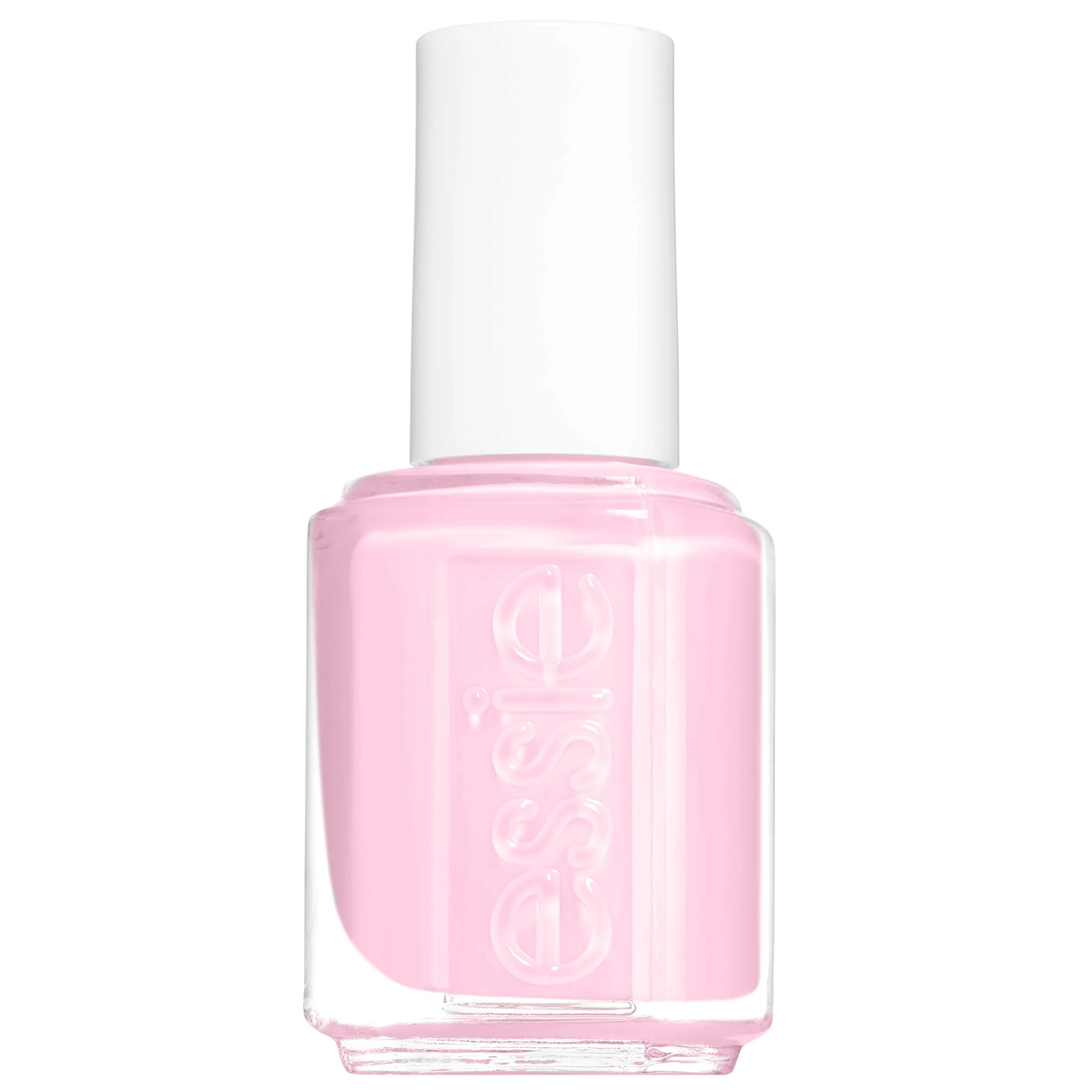
Essie Sugar Daddy Nail Polish - Sheer Pale Pink Finish
essie
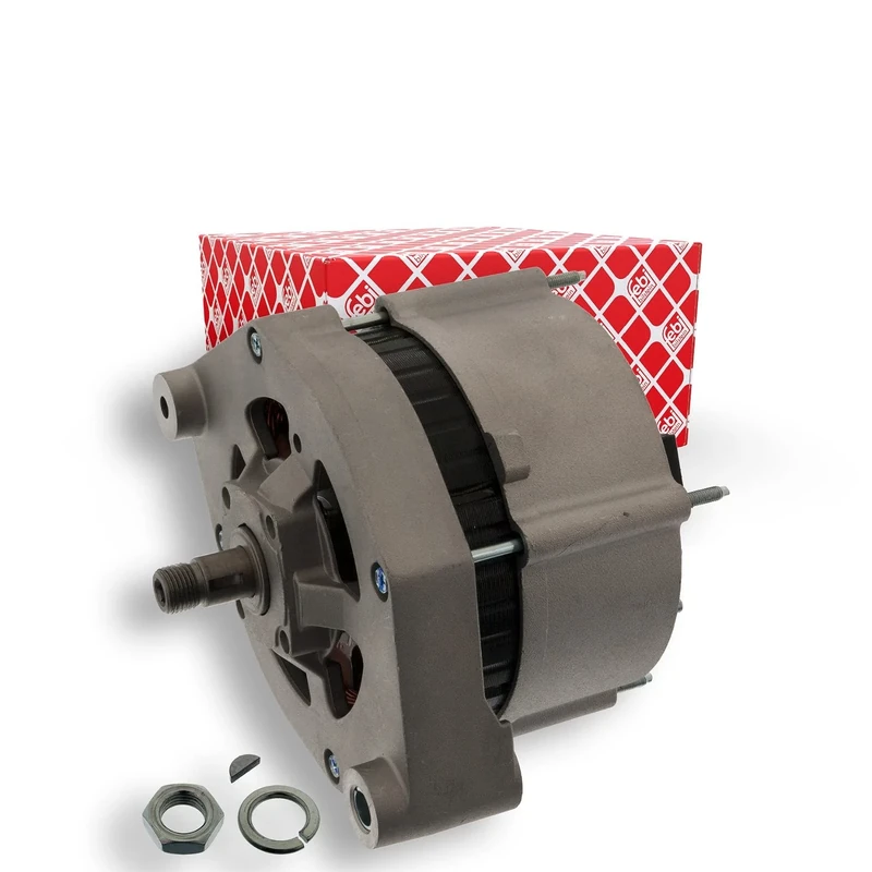
febi bilstein 48936 Alternator, pack of one
febi bilstein
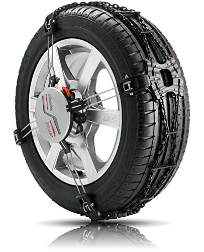
Weissenfels NM90030STD001 M90 - Quattro F30 Clack&Go, Snow chains - 2 pieces
Weissenfels
Price unavailable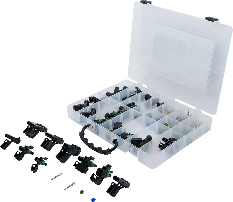
BGS 9096 | Waterproof Connector Assortment | 232 pcs.
BGS
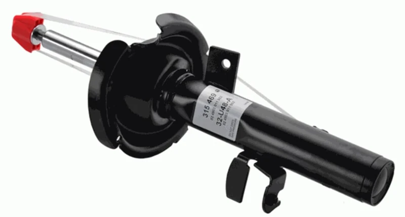
SACHS 315 469 Shock Absorber for and other applications
SACHS
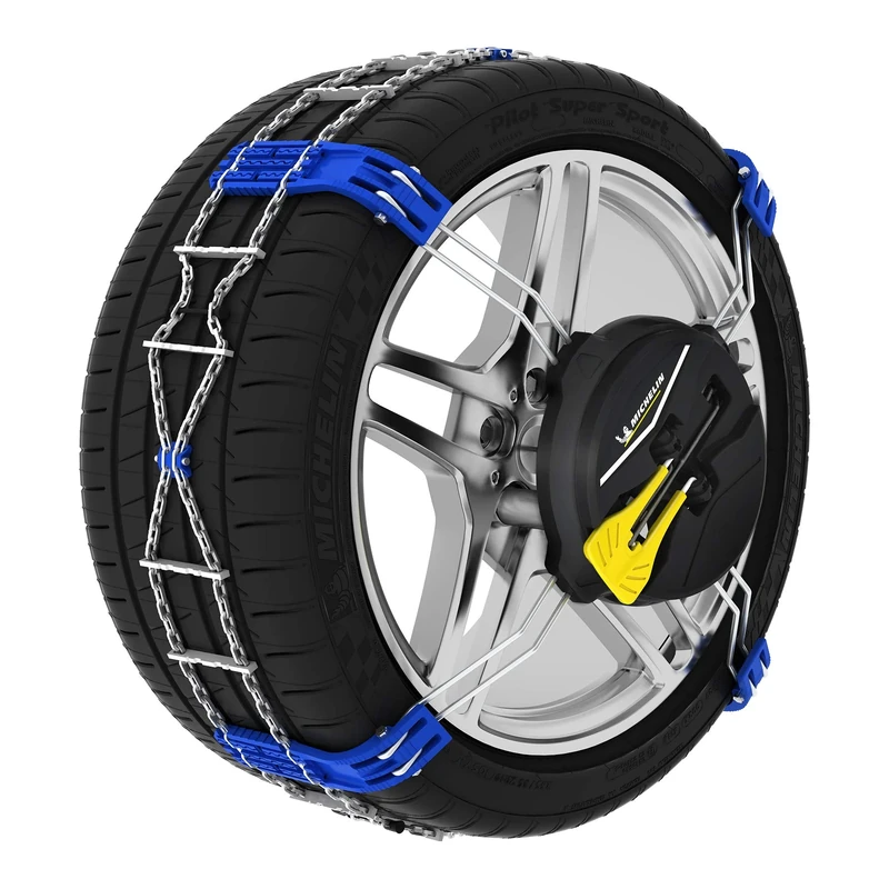
MICHELIN Fast Grip Front snow chains N ° 60
MICHELIN

MICHELIN Fast Grip Front snow chains N ° 50
MICHELIN
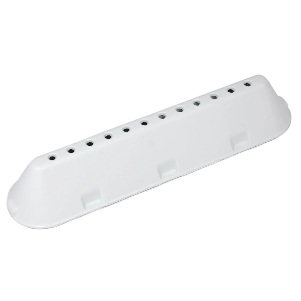
Indesit Washing Machine Drum Paddle Lifter - 3 Pack Set
Indesit
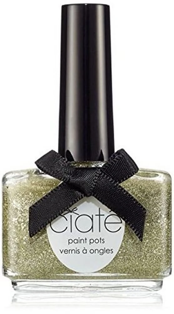
Ciate London Paint Pot Nail Polish - Carousel 13.5ml
Ciaté London