We can't find the internet
Attempting to reconnect
Something went wrong
Hang in there while we get back on track
£51.45
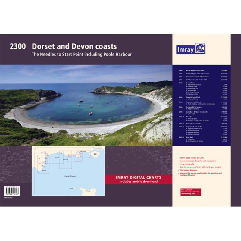
Imray 2300: Dorset and Devon Coasts Chart Pack Wiro Bound (2000)
Price data last checked 18 day(s) ago - will refresh soon
We'll watch every seller, every day. One email when your price arrives.
About as cheap as it gets. The only time it was cheaper was 1 month ago.
£51 today · all-time low £51 (Jun 2026) · usually £51
NEW HERE?
Amazon shows you one price. We show you all of them.
Tosheroon watches Amazon prices so you don't have to. Every product on Amazon has a price history — we make it visible. Set the price you'd actually pay, and we'll email you the second it gets there. No app, no account, one email.
WHAT'S ON THIS PAGE
when this has been cheap or pricey
where the price is heading next
all-time high & low, recent range
name your number, we'll email you
Price History & Forecast
Grey patches = out of stock. Cheaper = lower on the chart. Hover for exact prices.
Last 73 days · 73 data points (no recent data)
Price Distribution
Price distribution over 73 days • 2 price levels
Price Analysis
Most common price: £51 (72 days, 98.6%)
Price range: £51 - £52
Price levels: 2 different prices over 73 days
Description
Product Specifications
- Brand
- Imray
- Format
- spiral_bound
- ASIN
- 1786794551
- Domain
- Amazon UK
- Release Date
- 16 January 2023
- Listed Since
- 24 January 2023
Barcode
No barcode data available
Similar Products You Might Like
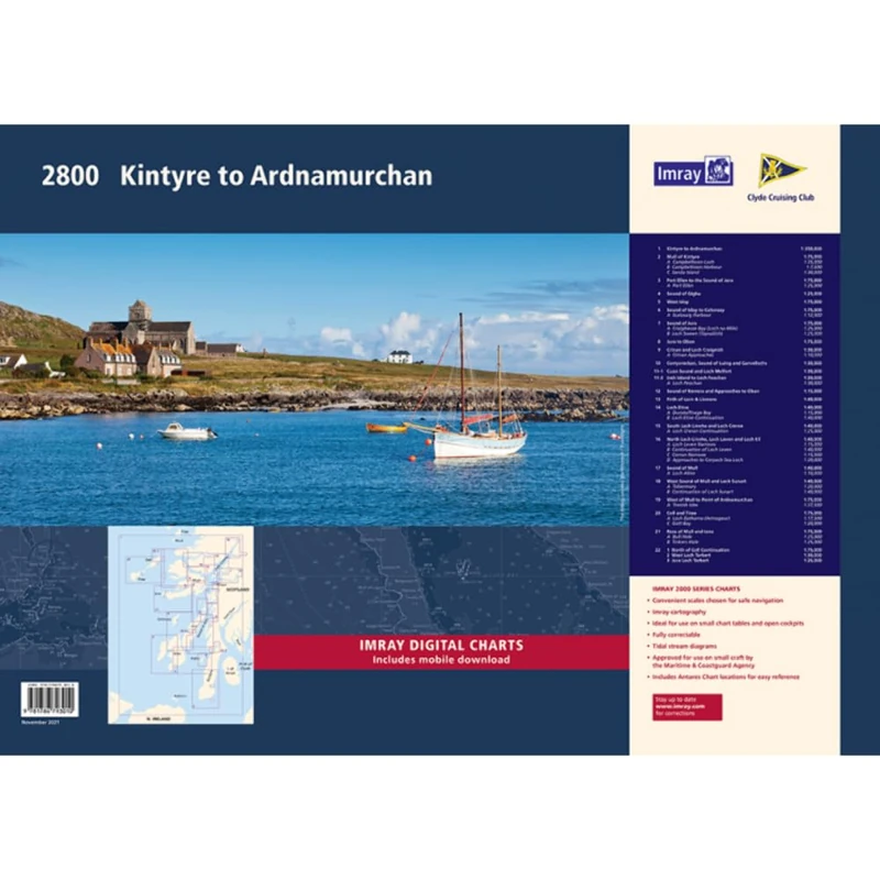
Imray 2800 Chart Pack: Kintyre to Ardnamurchan Chart Pack Wiro Bound (2000 Series)
Imray
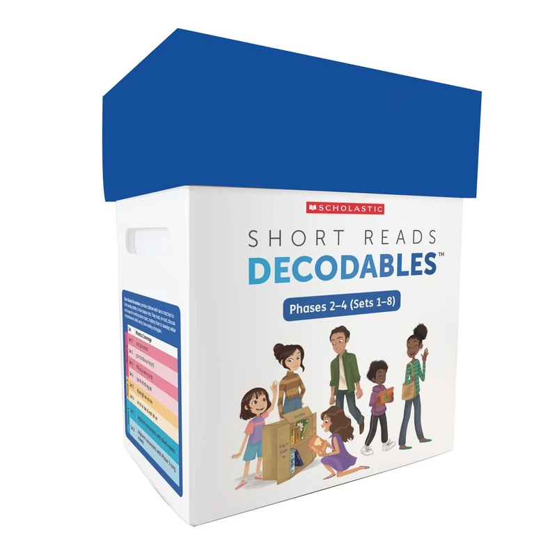
Scholastic Short Reads Decodable Texts - Ages 4-5 Phonics
Scholastic
Fiesers' Reagents for Organic Synthesis, Volume 19: 30
Wiley