We can't find the internet
Attempting to reconnect
Something went wrong
Hang in there while we get back on track
£46.16
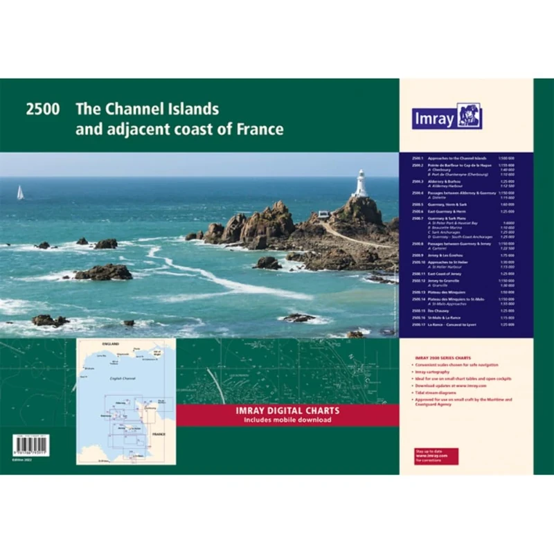
Imray 2500 Chart Pack: The Channel Islands and adjacent coast of France (2000 Series)
Price data last checked 37 day(s) ago - refreshing...
We'll watch every seller, every day. One email when your price arrives.
It has never been this cheap. We have no record of a lower price.
£46 today · cheaper than every other day in the last 3 months
NEW HERE?
Amazon shows you one price. We show you all of them.
Tosheroon watches Amazon prices so you don't have to. Every product on Amazon has a price history — we make it visible. Set the price you'd actually pay, and we'll email you the second it gets there. No app, no account, one email.
WHAT'S ON THIS PAGE
when this has been cheap or pricey
where the price is heading next
all-time high & low, recent range
name your number, we'll email you
Price History & Forecast
Grey patches = out of stock. Cheaper = lower on the chart. Hover for exact prices.
Last 54 days · 54 data points (no recent data)
Price Distribution
Price distribution over 54 days • 2 price levels
Price Analysis
Most common price: £46 (38 days, 70.4%)
Price range: £46 - £49
Price levels: 2 different prices over 54 days
Description
Key Features
New Store Stock
Product Specifications
- Brand
- Imray
- Format
- loose_leaf
- ASIN
- 1786793911
- Domain
- Amazon UK
- Release Date
- 14 October 2022
- Listed Since
- 19 August 2022
Barcode
No barcode data available
Similar Products You Might Like
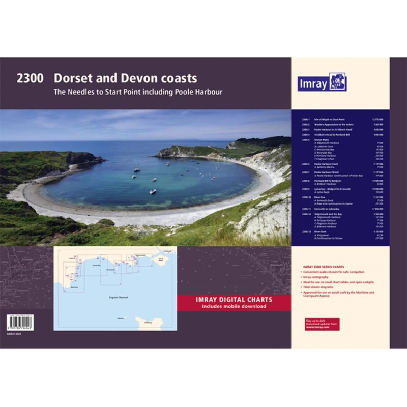
2300: Dorset and Devon Coasts Chart Pack Wiro Bound (2000)
Imray
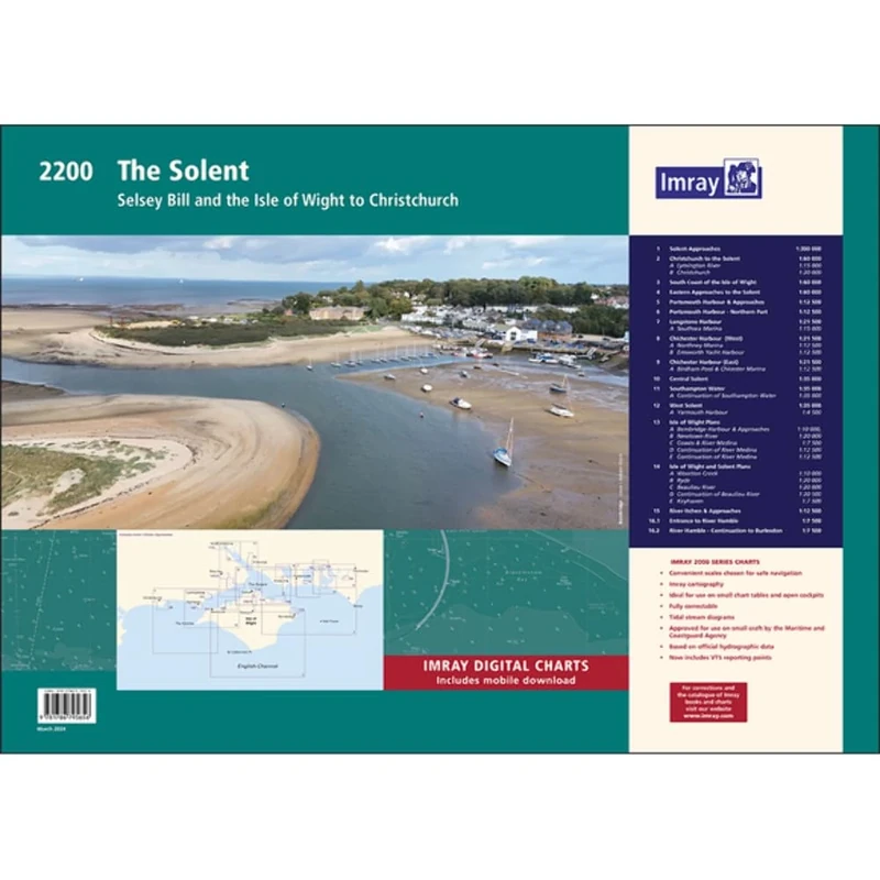
Imray 2200 The Solent Chart Pack Wiro-bound: Selsey Bill and the Isle of Wight to Christchurch (2000 Series)
Imray

Adriatic Pilot: Croatia, Slovenia, Montenegro, East Coast of Italy, Albania
Lonely Planet
SACHS 311 410 Shock Absorber compatible with BMW 3 (E90) 2004-2012 Rear Axle and Other Vehicles
SACHS

Geology of High-Level Nuclear Waste Disposal: An introduction
Springer

Star Trek: Discovery Complete Series
Paramount Home Entertainment

Fiesers' Reagents for Organic Synthesis, Collective Index for Volumes 1 - 22: 34
Wiley
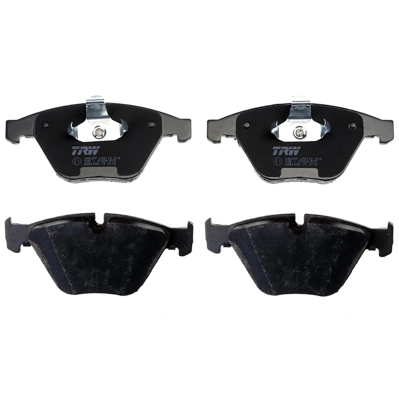
TRW GDB1498 Brake Pad Set of 4 for BMW 3 (E90) 2004-2012 Front Axle and other vehicles
TRW
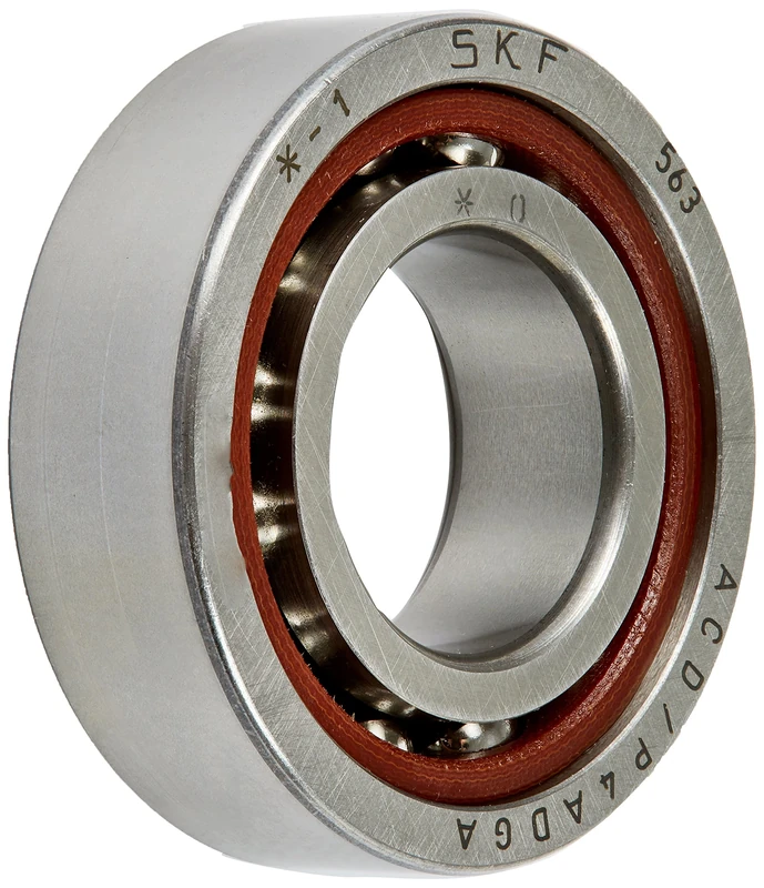
SKF 7004 ACDGA/P4A Angular Contact Ball Bearing Super-Precision
SKF
Price unavailable
Allegra K Women's Strappy Lace Up Chunky Heeled Sandals Black 5.5 UK/Label Size 7.5 US
Allegra K
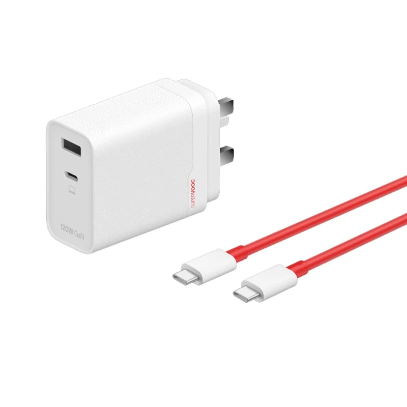
OnePlus SUPERVOOC 120W Dual Ports GaN Power Adapter Kit - UK Version
OnePlus
Price unavailable
SKF 7011 ACD/P4ADGA Angular Contact Ball Bearing Super-Precision
SKF
Price unavailable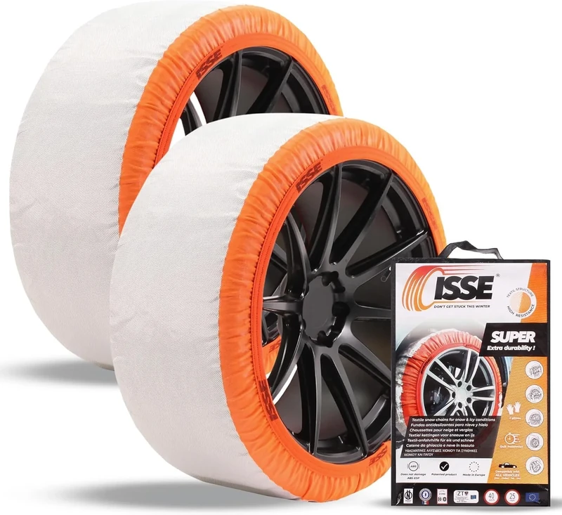
ISSE SUPER 2024 Cadenas de nieve textiles para coche Talla 66
Isse
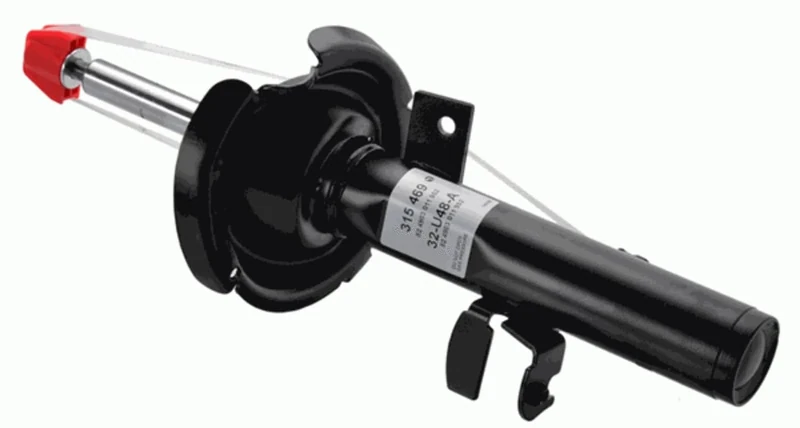
SACHS 315 469 Shock Absorber for and other applications
SACHS

International Bug Club Phonics Phase 5 Starter Pack (50 books) (Phonics Bug)
PEARSON EDUCATION
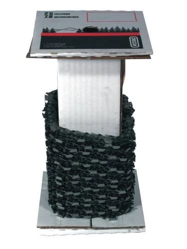
Oregon Super 70 Chisel Chainsaw Chain 3/8 – One Size
Oregon

Bug Club Phonics All Phases 2021 Top Up Starter Pack (46 books) (Phonics Bug)
PEARSON EDUCATION
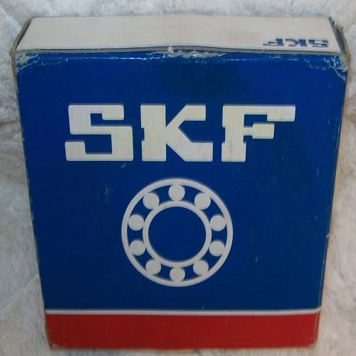
SKF 7002 ACD/P4ADGA Angular Contact Ball Bearing Super-Precision
SKF
Price unavailable
Allegra K Women's Strappy Lace Up Chunky Heeled Sandals Black 6.5 UK/Label Size 8.5 US
Allegra K
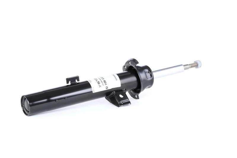
SACHS 311 404 Shock Absorber compatible with BMW 3 (E90) 2004-2012 Right, Front Axle and Other Vehicles
SACHS
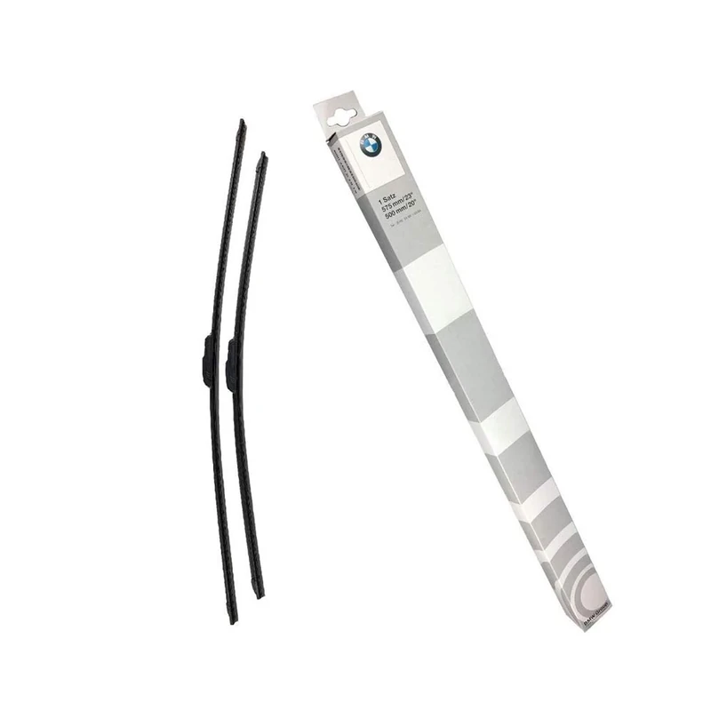
BMW Genuine Wiper Blades Set 61612183576
BMW
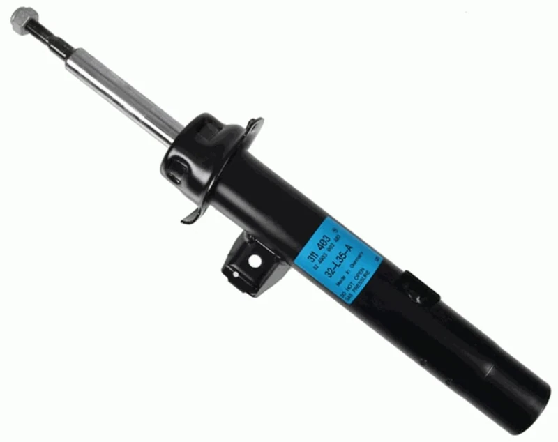
SACHS 311 403 Shock Absorber compatible with BMW 3 (E90) 2004-2012 Left, Front Axle and Other Vehicles
SACHS
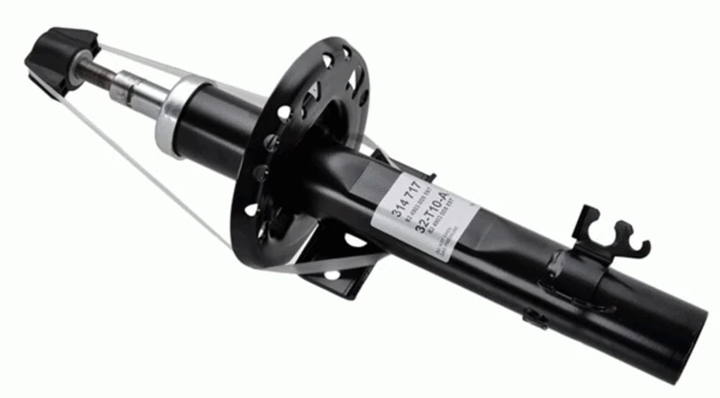
SACHS 314 717 Shock Absorber compatible with Volkswagen Polo (6R, 6C, 61) 2009-2022 Front Axle and Other Vehicles
SACHS
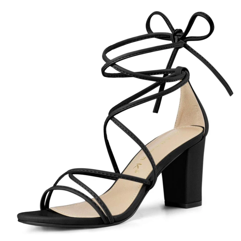
Allegra K Women's Strappy Lace Up Chunky Heeled Sandals Black 5 UK/Label Size 7 US
Allegra K