We can't find the internet
Attempting to reconnect
Something went wrong
Hang in there while we get back on track
£49.06
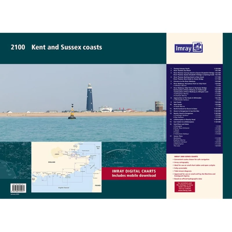
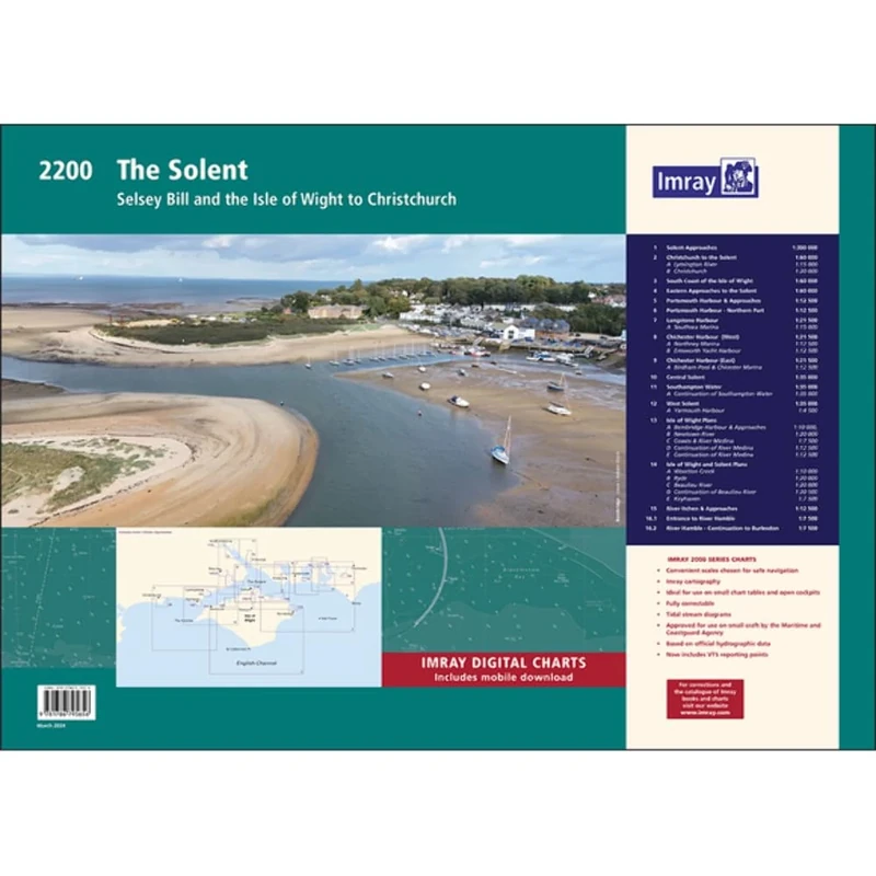
Imray 2100 Chart Pack: Kent and Sussex Coasts (2000 Chart Packs): Thames Estuary to the Solent
Price data last checked 37 day(s) ago - refreshing...
We'll watch every seller, every day. One email when your price arrives.
This is the most expensive it has ever been. Walk away.
£49 today · previous high £49 · all-time low £36
NEW HERE?
Amazon shows you one price. We show you all of them.
Tosheroon watches Amazon prices so you don't have to. Every product on Amazon has a price history — we make it visible. Set the price you'd actually pay, and we'll email you the second it gets there. No app, no account, one email.
WHAT'S ON THIS PAGE
when this has been cheap or pricey
where the price is heading next
all-time high & low, recent range
name your number, we'll email you
Price History & Forecast
Grey patches = out of stock. Cheaper = lower on the chart. Hover for exact prices.
Last 54 days · 54 data points (no recent data)
Price Distribution
Price distribution over 54 days • 2 price levels
Price Analysis
Most common price: £49 (50 days, 92.6%)
Price range: £36 - £49
Price levels: 2 different prices over 54 days
Description
Product Specifications
- Brand
- Imray
- Format
- loose_leaf
- ASIN
- 1786795574
- Domain
- Amazon UK
- Release Date
- 19 January 2024
- Listed Since
- 12 January 2024
Barcode
No barcode data available
Similar Products You Might Like
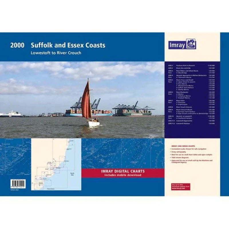
2000 Suffolk and Essex Chart Pack: Lowestoft to River Crouch (2000 Series)
Imray
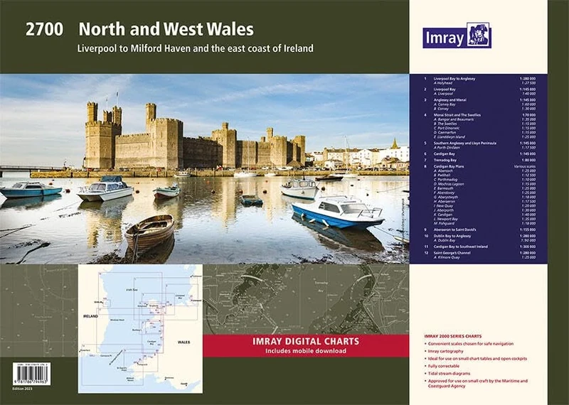
Imray 2700 North and West Wales Chart Pack: Liverpool to Milford Haven and the East Coast of Ireland (2000 Chart Packs)
Imray
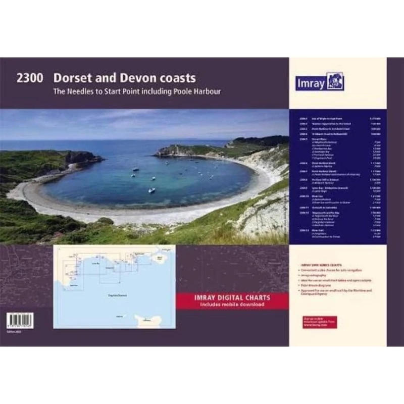
Imray 2300: Dorset and Devon Coasts Chart Pack (2000 Series)
Imray
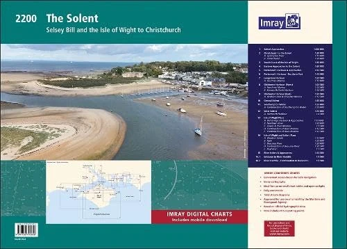
Imray 2200 Chart Pack: The Solent (2000 Chart series): Selsey Bill and the Isle of Wight to Christchurch
Imray
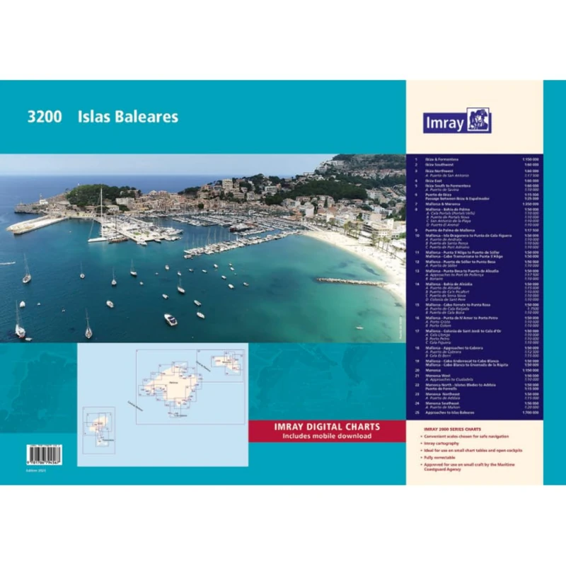
Imray 3200 Islas Baleares Chart Pack (2000 series)
Imray
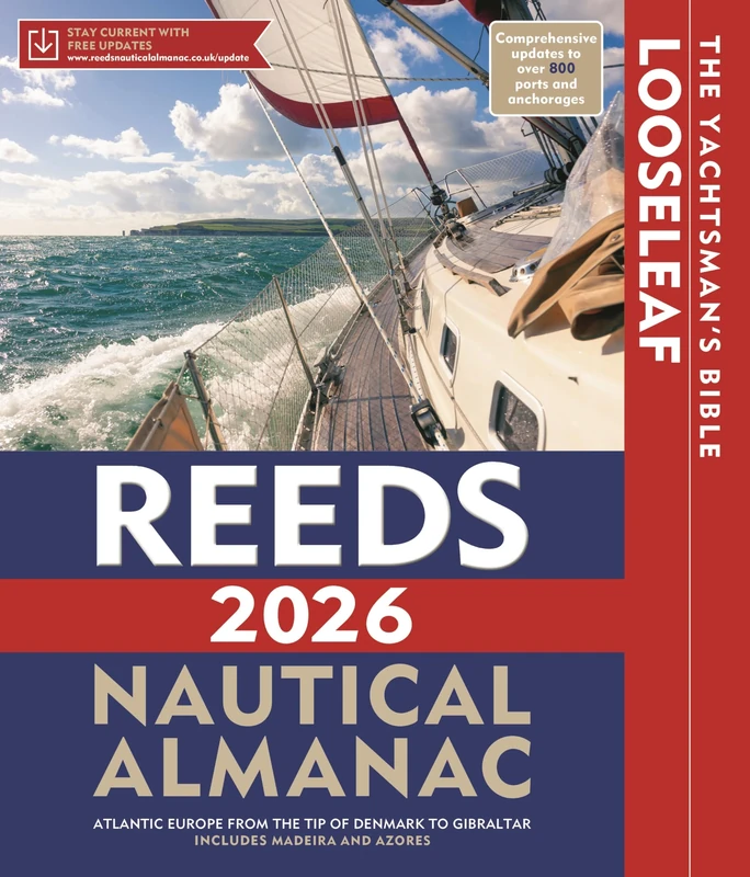
Reeds Looseleaf Almanac 2026 (with binder) (Reed's Almanac)
Reeds
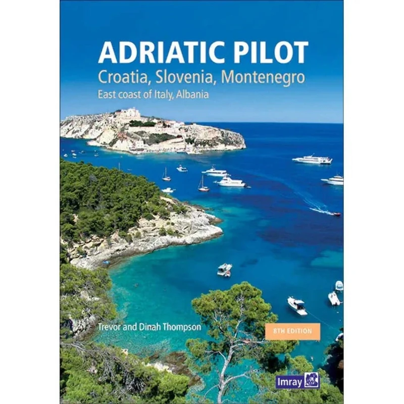
Adriatic Pilot: Croatia, Slovenia, Montenegro, East Coast of Italy, Albania
Lonely Planet
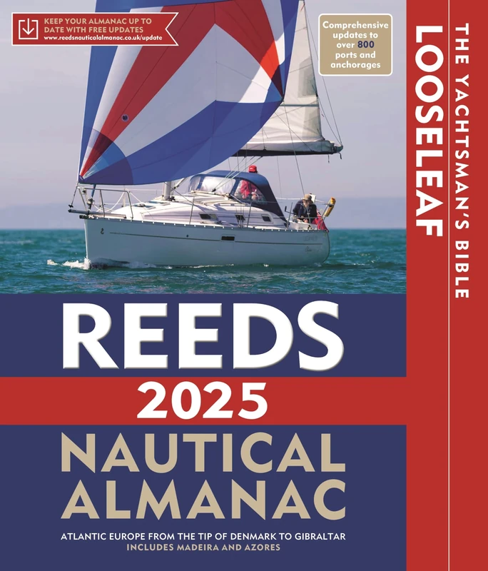
Reeds Looseleaf Almanac 2025 (inc binder) (Reed's Almanac)
Reeds
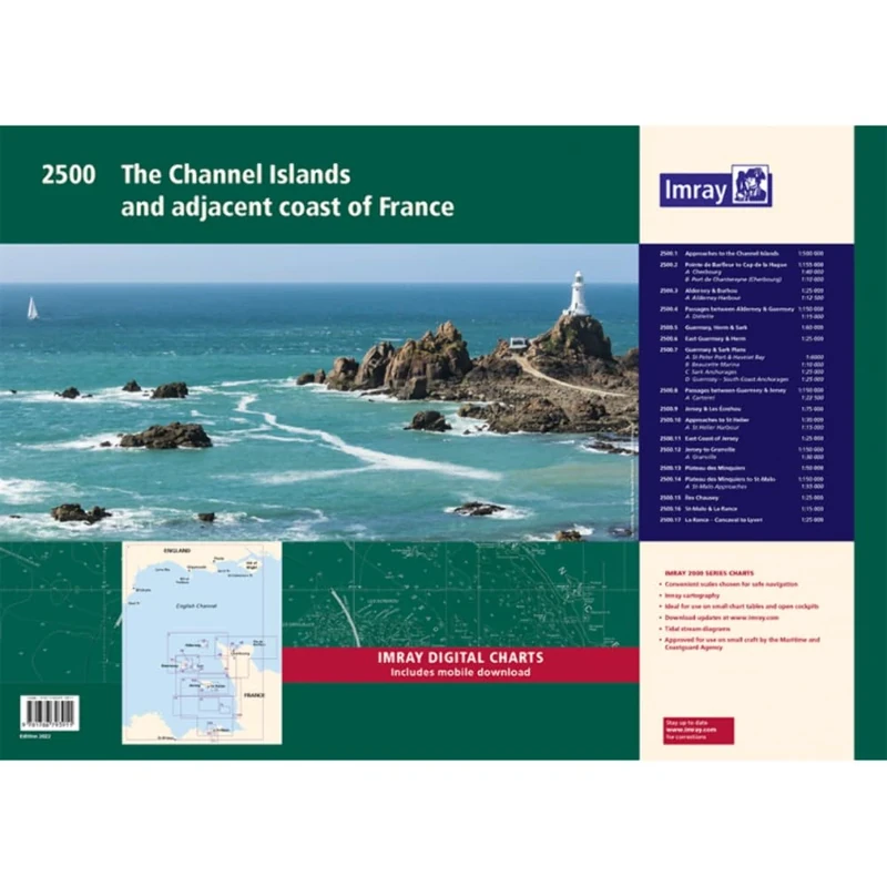
Imray 2500 Chart Pack: The Channel Islands and adjacent coast of France (2000 Series)
Imray
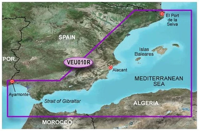
Garmin BlueChart G3 Vision - VEU010R: Spain Mediterranean Coast
Garmin
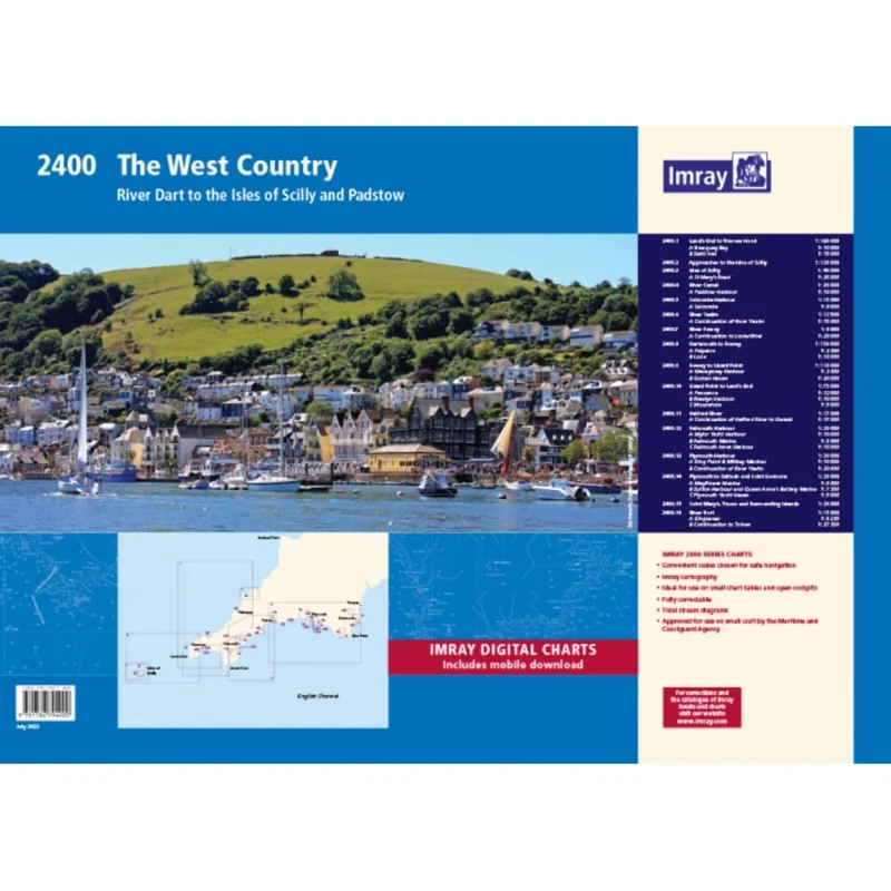
2400 West Country Chart Pack: River Dart to the Isles of Scilly and Padstow (2000 Series)
Imray
Reeds Looseleaf Almanac 2024 (inc binder) (Reed's Almanac)
Reeds

2300: Dorset and Devon Coasts Chart Pack Wiro Bound (2000)
Imray
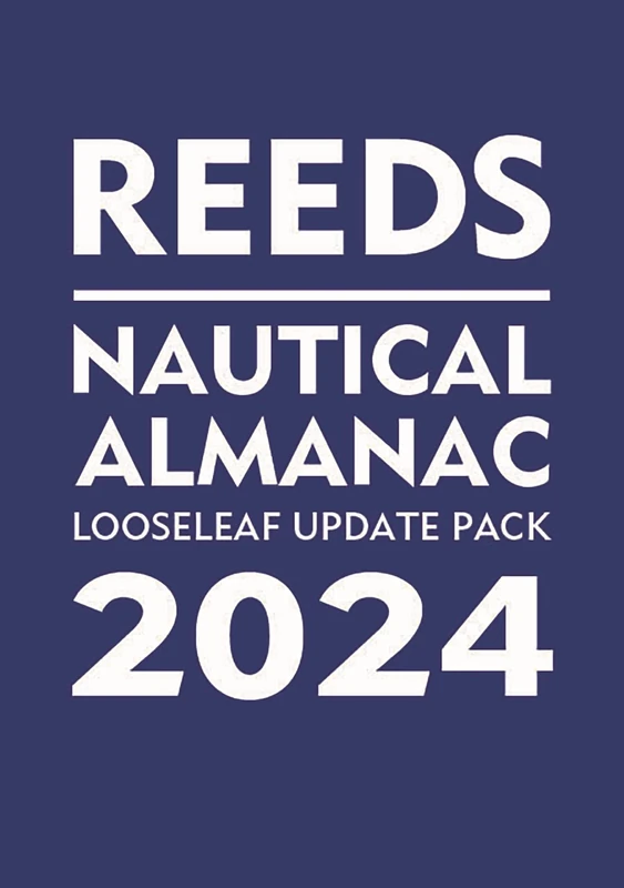
Reeds Looseleaf Update Pack 2024 - Reeds Almanac
Reeds
C-MAP en-y076 Micro SD with Adaptor
C-MAP
Price unavailable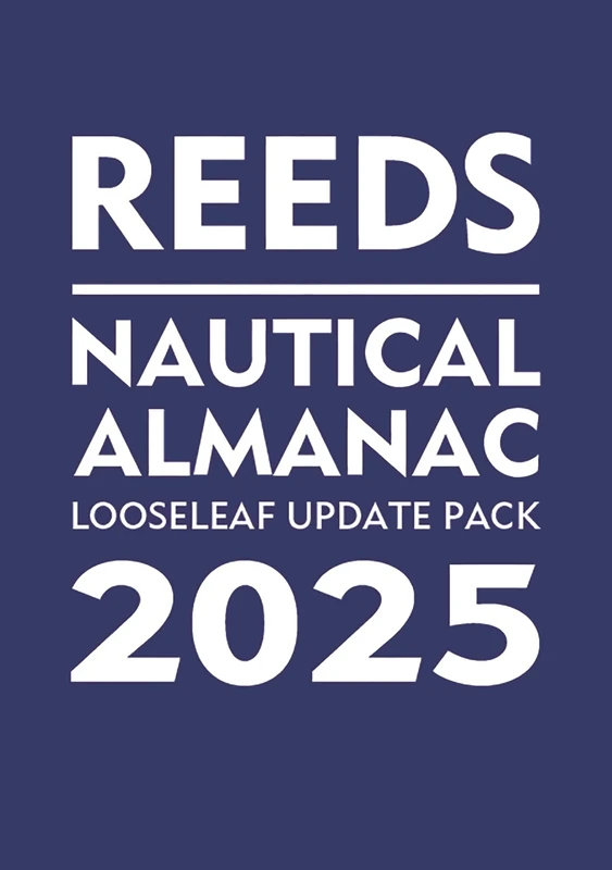
Reeds Looseleaf Update Pack 2025 (Reed's Almanac)
Reeds
Reeds Nautical Almanac 2026 (Reed's Almanac)
Reeds
Reeds Nautical Almanac 2023 (Reed's Almanac)
Reeds
Reeds Looseleaf Update Pack 2026 (Reed's Almanac)
Reeds
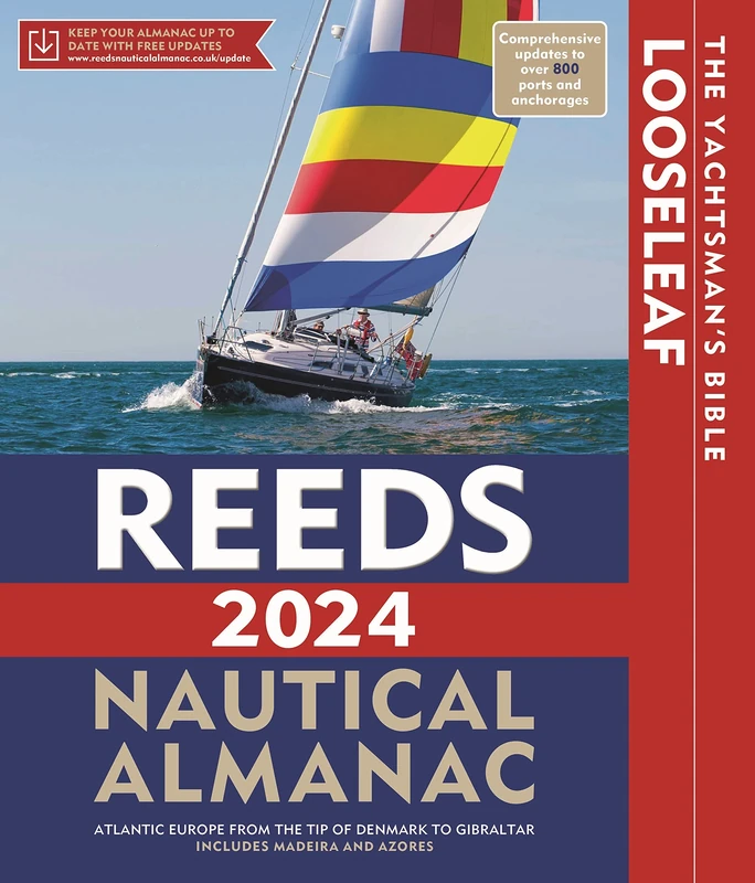
Reeds Nautical Almanac 2024 (Reed's Almanac)
Reeds
Imray 2200 The Solent Chart Pack Wiro-bound: Selsey Bill and the Isle of Wight to Christchurch (2000 Series)
Imray
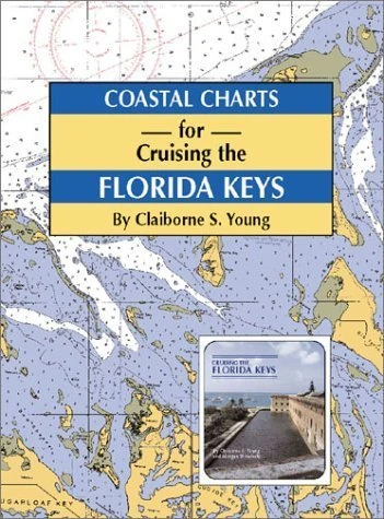
Coastal Charts for Cruising the Florida Keys
Pelican Publishing Company
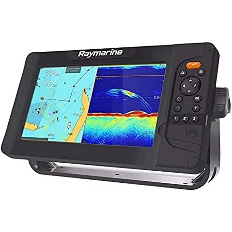
Element 9 S - 9" Wi-Fi GPS Display, No Mapping or Probe
Raymarine

Gyro-Free Inertial Navigation Technology: 7 (Navigation: Science and Technology, 7)
Springer