We can't find the internet
Attempting to reconnect
Something went wrong
Hang in there while we get back on track
£285.90
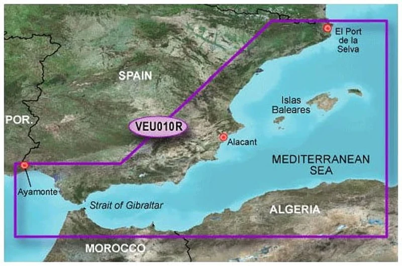
Garmin BlueChart G3 Vision - VEU010R: Spain Mediterranean Coast
Black, 010-C0768-00
Price data last checked 17 day(s) ago - will refresh soon
We'll watch every seller, every day. One email when your price arrives.
Cheaper than 19% of the days we've watched it. Below what most people pay.
£286 today · 30-day average £296 · all-time low £80
NEW HERE?
Amazon shows you one price. We show you all of them.
Tosheroon watches Amazon prices so you don't have to. Every product on Amazon has a price history — we make it visible. Set the price you'd actually pay, and we'll email you the second it gets there. No app, no account, one email.
WHAT'S ON THIS PAGE
when this has been cheap or pricey
where the price is heading next
all-time high & low, recent range
name your number, we'll email you
Price History & Forecast
Grey patches = out of stock. Cheaper = lower on the chart. Hover for exact prices.
Last 74 days · 74 data points (no recent data)
Price Distribution
Price distribution over 74 days • 4 price levels
Price Analysis
Most common price: £81 (30 days, 40.5%)
Price range: £80 - £328
Price levels: 4 different prices over 74 days
Description
Key Features
High-quality BlueChart G2 Vision technology
Seeregion Spain, Mediterranean Coast
Pre-played on SD card
Plug and play.
Product Specifications
- Brand
- Garmin
- Model
- 010-C0768-00
- Colour
- Black
- Size
- Espagne France Côte Sud
- ASIN
- B000UFBR8E
- Domain
- Amazon UK
- Listed Since
- 23 March 2011
Barcode
No barcode data available
Similar Products You Might Like

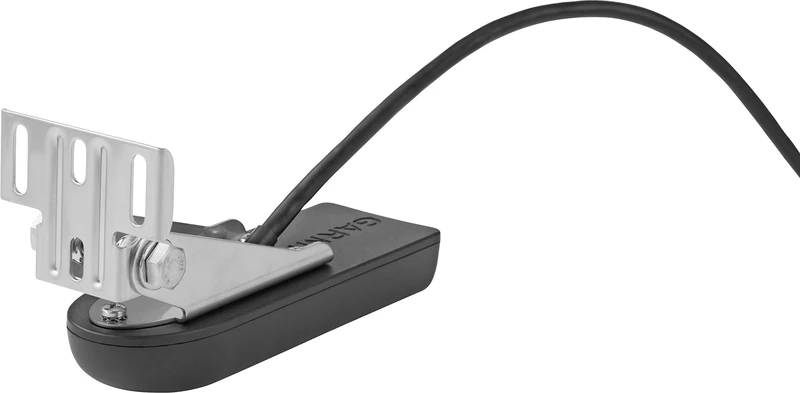
Garmin ECHOMAP UHD2 65sv with GT54 Transducer, 6” Touchscreen Chartplotter, Garmin Navionics+ Canada Inland and Coastal
Garmin

Garmin Thru-hull Panoptix PS51-TH Forward 0753759170912 Transmitter Black One Size
Garmin
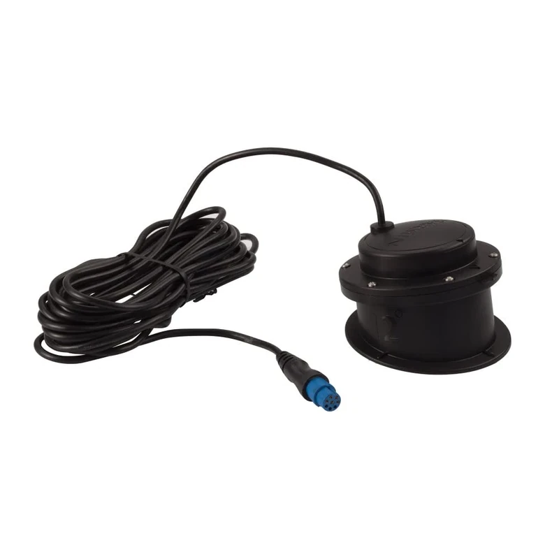
Garmin 12405 GT52HW Cable TM XDCR 12-Pin Chirp Sidevü 455/800 TRANSOM MOUNT Downvü Transducer
Garmin

Garmin Striker Vivid 4cv, Easy-to-Use 4-inch Color Fishfinder and Sonar Transducer, Vivid Scanning Sonar Color Palettes (010-02550-00)
Garmin
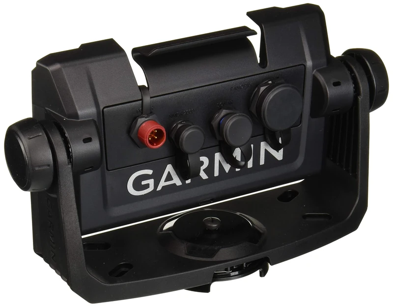
Garmin - Tilt/Swivel Mount with Quick-release Cradle 010-12672-03
Garmin
Garmin GT15M-IH GT15M-IH, Black, One Size, 0753759148577
Garmin