We can't find the internet
Attempting to reconnect
Something went wrong
Hang in there while we get back on track
£47.43
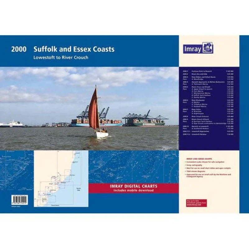
Imray 2000 Suffolk and Essex Chart Pack: Lowestoft to River Crouch (2000 Series)
Price data last checked 35 day(s) ago - refreshing...
We'll watch every seller, every day. One email when your price arrives.
About as cheap as it gets. The only time it was cheaper was 2 months ago.
£47 today · all-time low £46 (May 2026) · usually the usual
NEW HERE?
Amazon shows you one price. We show you all of them.
Tosheroon watches Amazon prices so you don't have to. Every product on Amazon has a price history — we make it visible. Set the price you'd actually pay, and we'll email you the second it gets there. No app, no account, one email.
WHAT'S ON THIS PAGE
when this has been cheap or pricey
where the price is heading next
all-time high & low, recent range
name your number, we'll email you
Price History & Forecast
Grey patches = out of stock. Cheaper = lower on the chart. Hover for exact prices.
Last 56 days · 56 data points (no recent data)
Price Distribution
Price distribution over 56 days • 4 price levels
Price Analysis
Most common price: £47 (24 days, 42.9%)
Price range: £46 - £49
Price levels: 4 different prices over 56 days
Description
Product Specifications
- Brand
- Imray
- Format
- paperback
- ASIN
- 1786794217
- Domain
- Amazon UK
- Release Date
- 31 October 2022
- Listed Since
- 24 August 2022
Barcode
No barcode data available
Similar Products You Might Like
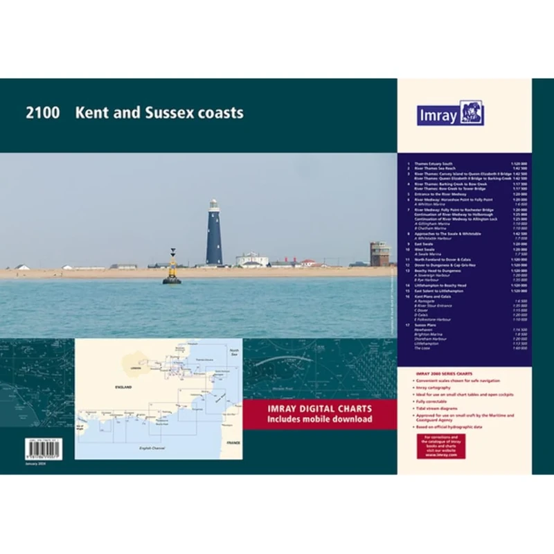
Imray 2100 Chart Pack: Kent and Sussex Coasts (2000 Chart Packs): Thames Estuary to the Solent
Imray
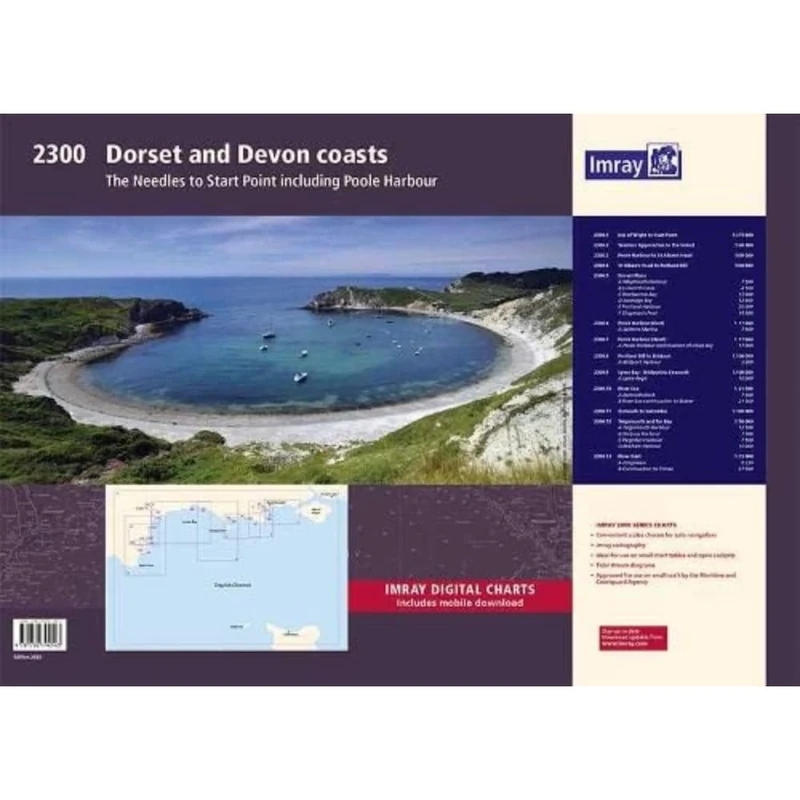
Imray 2300: Dorset and Devon Coasts Chart Pack (2000 Series)
Imray
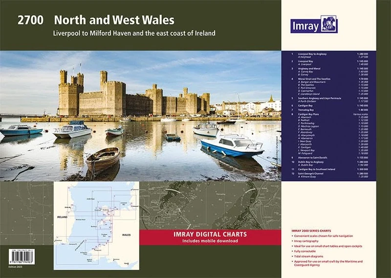
Imray 2700 North and West Wales Chart Pack: Liverpool to Milford Haven and the East Coast of Ireland (2000 Chart Packs)
Imray
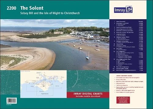
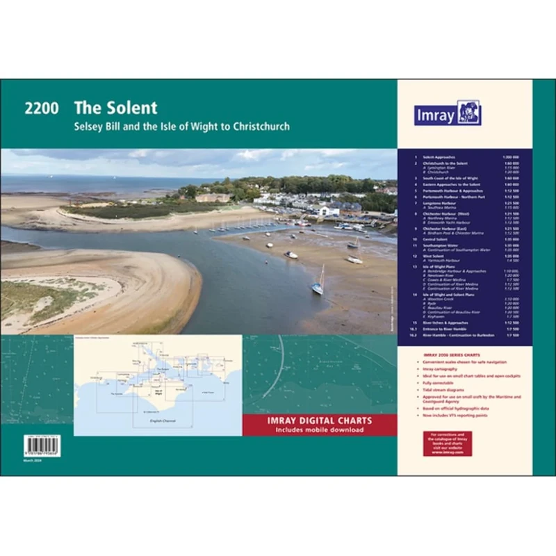
Imray 2200 Chart Pack: The Solent (2000 Chart series): Selsey Bill and the Isle of Wight to Christchurch
Imray
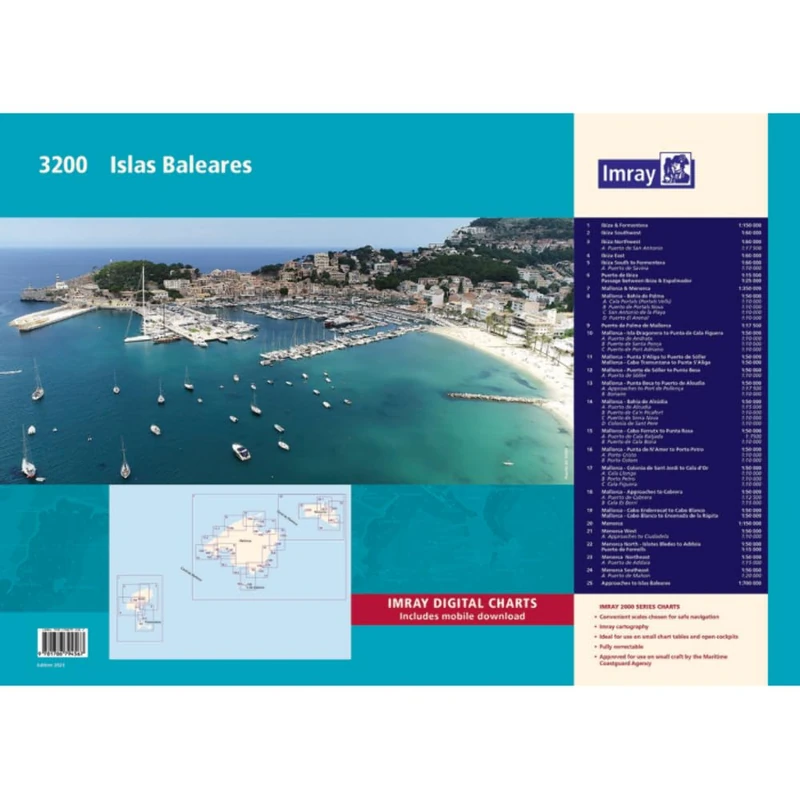
Imray 3200 Islas Baleares Chart Pack (2000 series)
Imray

2300: Dorset and Devon Coasts Chart Pack Wiro Bound (2000)
Imray
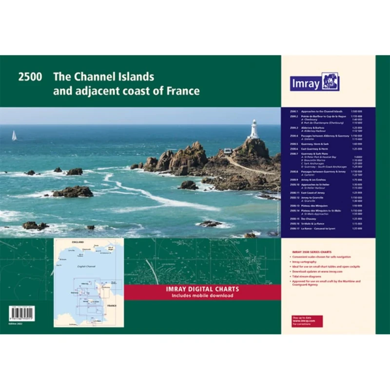
Imray 2500 Chart Pack: The Channel Islands and adjacent coast of France (2000 Series)
Imray
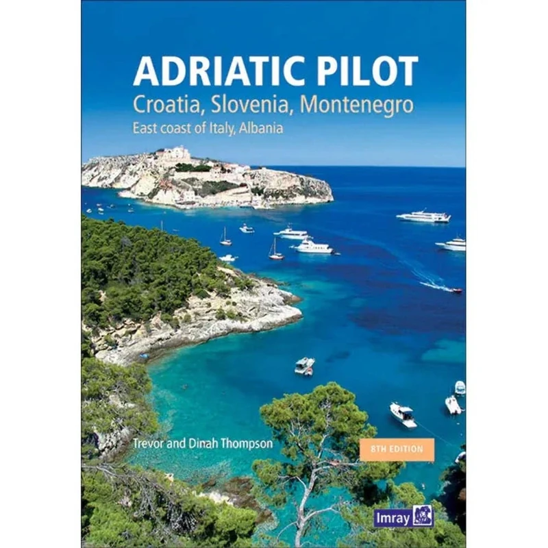
Adriatic Pilot: Croatia, Slovenia, Montenegro, East Coast of Italy, Albania
Lonely Planet
Imray 2200 The Solent Chart Pack Wiro-bound: Selsey Bill and the Isle of Wight to Christchurch (2000 Series)
Imray
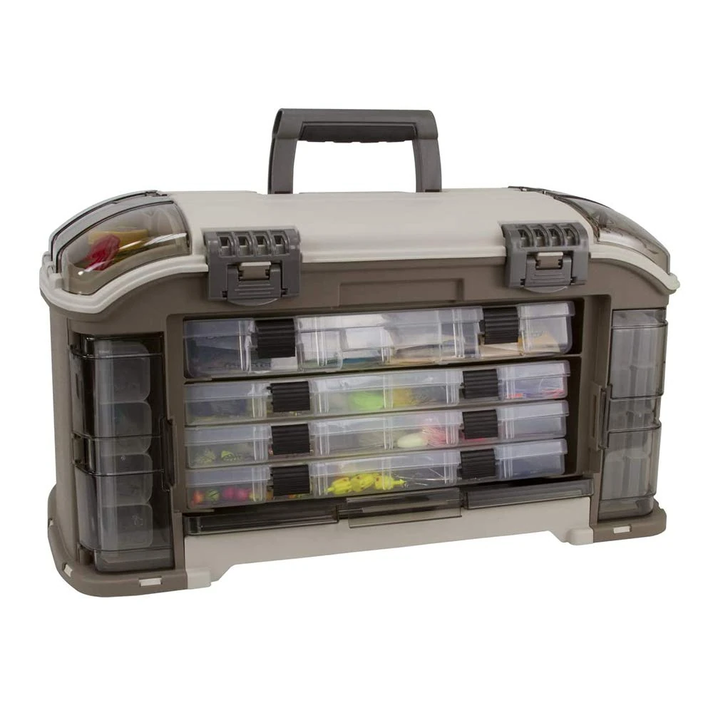
PLANO Guide Series Angled Tackle System 3700,Fishing Tackle Organizer, Portable Storage OrganizerTool box, Small parts, Removable Trays, Fishing, Beading, School, Office Supplies, Crafting Materials
Plano
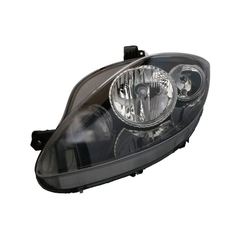
VALEO - 43337 - High Performance Halogen Left Main Headlamp - For SEAT Altea 04/2007 > 2009/03 - Front - Left side - Pack of 1
Valeo

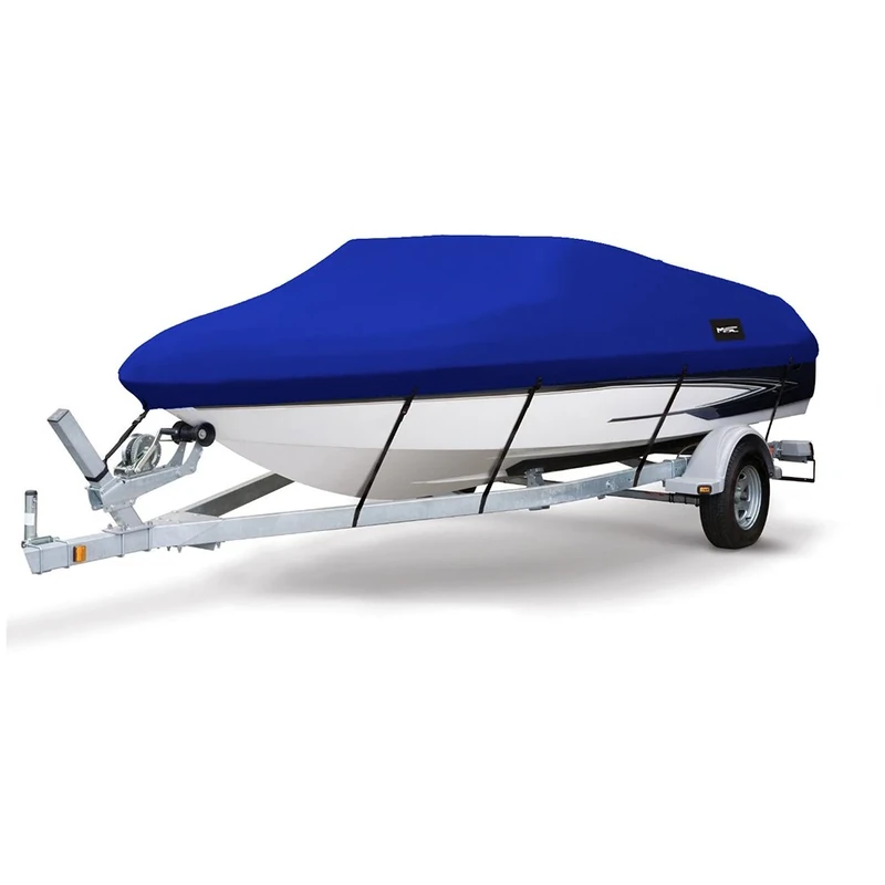
MSC Heavy Duty 600D Marine Grade Polyester Canvas Trailerable Waterproof Boat Cover,Fits V-Hull,Tri-Hull, Runabout Boat Cover (Model B - Length:14'-16' Beam Width: up to 90", Navy)
MSC

MSC Heavy Duty 600D Marine Grade Polyester Canvas Trailerable Waterproof Boat Cover,Fits V-Hull,Tri-Hull, Runabout Boat Cover (Model B - Length:14'-16' Beam Width: up to 90", Beige)
MSC
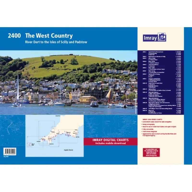
2400 West Country Chart Pack: River Dart to the Isles of Scilly and Padstow (2000 Series)
Imray

MSC Heavy Duty 600D Marine Grade Polyester Canvas Trailerable Waterproof Boat Cover,Fits V-Hull,Tri-Hull, Runabout Boat Cover (Model A - Length:14'-16' Beam Width: up to 68", Gray)
MSC
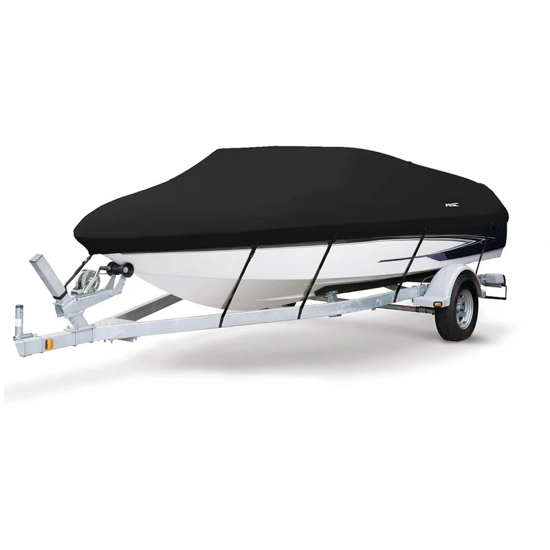
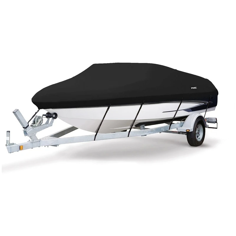
MSC Heavy Duty 600D Marine Grade Polyester Canvas Trailerable Waterproof Boat Cover,Fits V-Hull,Tri-Hull, Runabout Boat Cover (Model B - Length:14'-16' Beam Width: up to 90", Black)
MSC
MSC Heavy Duty 600D Marine Grade Polyester Canvas Trailerable Waterproof Boat Cover,Fits V-Hull,Tri-Hull, Runabout Boat Cover (Model B - Length:14'-16' Beam Width: up to 90", Pacific Blue)
MSC
MSC Heavy Duty 600D Marine Grade Polyester Canvas Trailerable Waterproof Boat Cover,Fits V-Hull,Tri-Hull, Runabout Boat Cover (Model H - Length:23'-24' Beam Width: up to 102", Black)
MSC
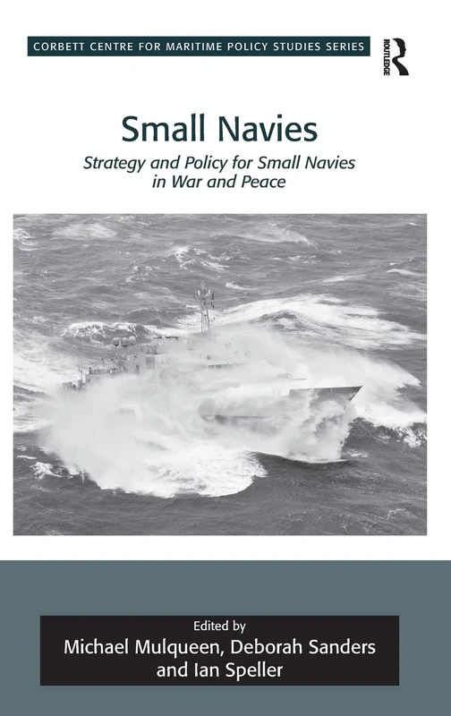
Small Navies: Strategy and Policy for Small Navies in War and Peace (Corbett Centre for Maritime Policy Studies Series)
Routledge
MSC 600D Marine Grade Boat Cover - 14-16ft V-Hull/Tri-Hull
MSC
MSC Heavy Duty 600D Marine Grade Polyester Canvas Trailerable Waterproof Boat Cover,Fits V-Hull,Tri-Hull, Runabout Boat Cover (Model A - Length:14'-16' Beam Width: up to 68", Navy)
MSC
MSC Heavy Duty 600D Marine Grade Polyester Canvas Trailerable Waterproof Boat Cover,Fits V-Hull,Tri-Hull, Runabout Boat Cover (Model E - Length:20'-22' Beam Width: up to 100", Beige)
MSC
MSC Heavy Duty 600D Marine Grade Polyester Canvas Trailerable Waterproof Boat Cover,Fits V-Hull,Tri-Hull, Runabout Boat Cover (Model H - Length:23'-24' Beam Width: up to 102", Gray)
MSC
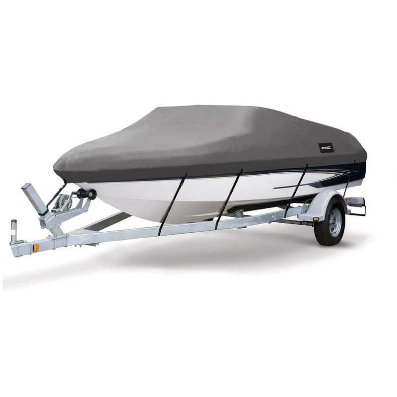
MSC Heavy Duty 600D Marine Grade Polyester Canvas Trailerable Waterproof Boat Cover,Fits V-Hull,Tri-Hull, Runabout Boat Cover (Model B - Length:14'-16' Beam Width: up to 90", Dark Gray)
MSC
Price unavailable