We can't find the internet
Attempting to reconnect
Something went wrong
Hang in there while we get back on track
£6.69
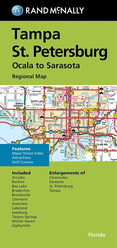
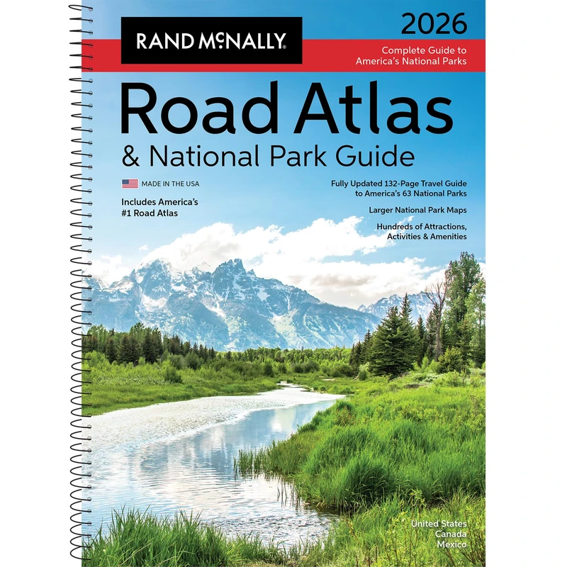
Rand McNally FM TAMPA / ST. PETE FL REGIONAL
Full Color, 0528025481
Price data last checked 10 day(s) ago - will refresh soon
We'll watch every seller, every day. One email when your price arrives.
It has never been this cheap. We have no record of a lower price.
£7 today · cheaper than every other day in the last 3 months
NEW HERE?
Amazon shows you one price. We show you all of them.
Tosheroon watches Amazon prices so you don't have to. Every product on Amazon has a price history — we make it visible. Set the price you'd actually pay, and we'll email you the second it gets there. No app, no account, one email.
WHAT'S ON THIS PAGE
when this has been cheap or pricey
where the price is heading next
all-time high & low, recent range
name your number, we'll email you
Price History & Forecast
Grey patches = out of stock. Cheaper = lower on the chart. Hover for exact prices.
Last 81 days · 81 data points (no recent data)
Price Distribution
Price distribution over 81 days • 3 price levels
Price Analysis
Most common price: £6.69 (52 days, 64.2%)
Price range: £6.69 - £79
Price levels: 3 different prices over 81 days
Description
Key Features
Regularly updated
Full-color maps
Clearly labeled Interstate, U.S., state, and county highways
Indications of parks, points of interest, airports, county boundaries, downtown & vicinity maps
Major attractions & Golf Courses.Enlargements of Clearwater, Sarasota, St. Petersburg & Tampa.Easy-to-use legend.Detailed index & Major Street Index.Convenient folded size.Copyright 2022
Product Specifications
- Brand
- Rand McNally
- Model
- 0528025481
- Colour
- Full Color
- Format
- map
- ASIN
- 0528025481
- Domain
- Amazon UK
- Release Date
- 01 June 2026
- Listed Since
- 16 September 2021
Barcode
No barcode data available
Similar Products You Might Like
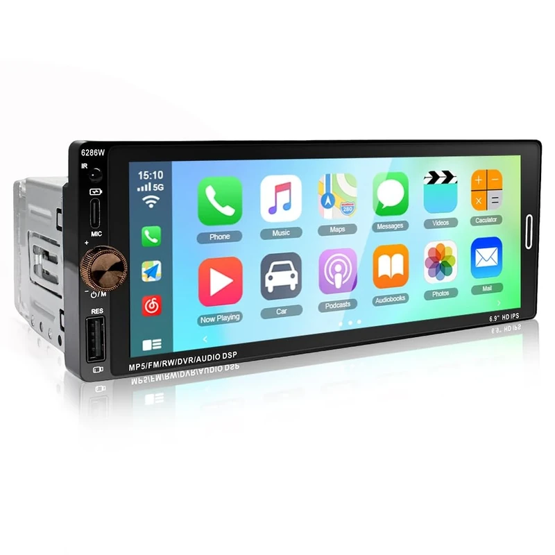
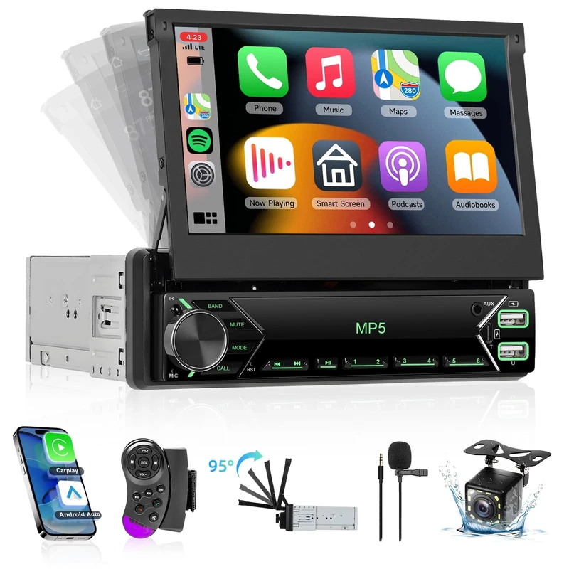
Single Din Car Stereo with Wireless CarPlay/Android Auto/Mirror Link, 6.9 Inch 1 Din HD Touchscreen Radio with WiFi Bluetooth GPS FM RDS SWC EQ USB Type-C Backup Camera Mic
LICHENGTAI
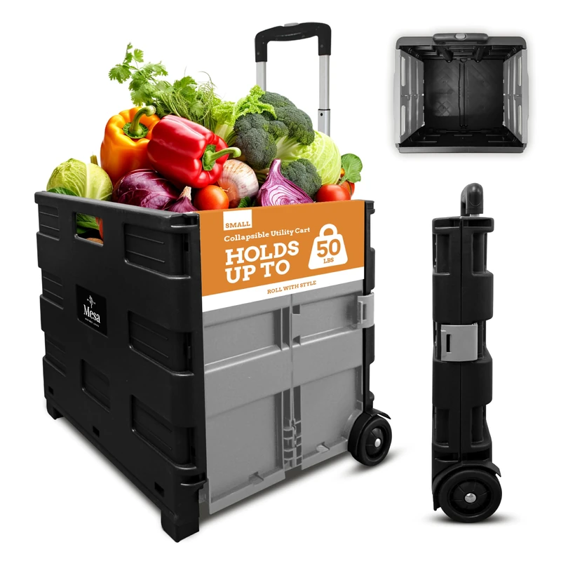
Inspired Living Pack & ROLL, Grey
Inspired Living

Philip's RGS World Atlas (A4) - Global Cities, Facts and Flags
Philip's
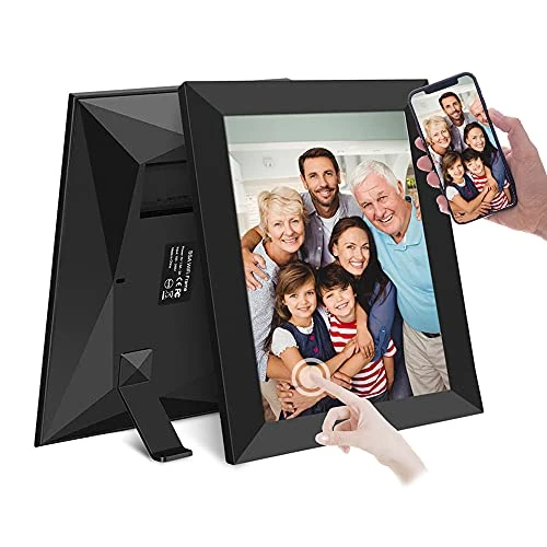
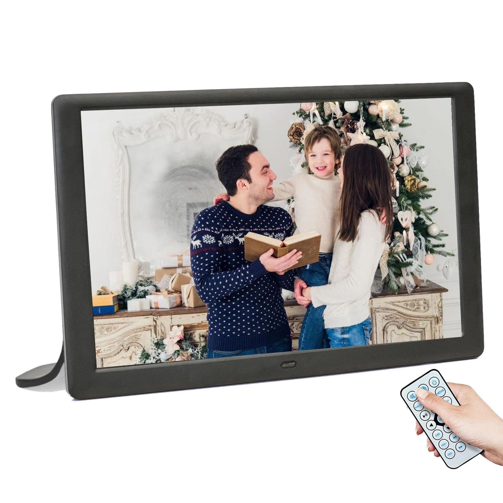
Aorpdd 10.1 Inch FRAMEO WiFi Cloud Digital Photo Frame, 1280 * 800 Resolution 16:10 HD IPS Touch Screen Display, 16GB Storage Space,Share Your Photos and Videos via Free App at Anytime and Anywhere
Aorpdd
Price unavailable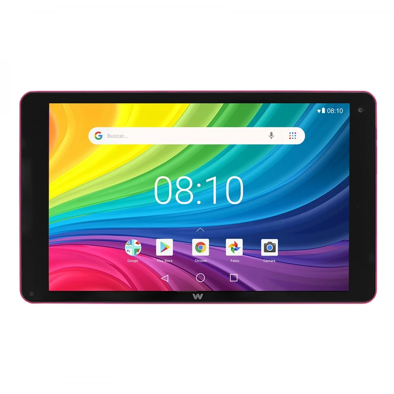
Woxter X-100 10" Pink 2GB / 16GB
Woxter
Price unavailable
MATEIN 17 Inch Rolling Laptop Bag for Women - Pink Travel Case
MATEIN
Hodozzy Single Din Touchscreen Car Stereo Wireless CarPlay Android Auto,7 inch Flip Out Bluetooth 1 Din Car Radio with SWC Mirror Link FM Radio USB-C EQ Colour Backlight Setting+Backup Camera
Hodozzy
Price unavailable
Printholic - 16 Rolls Compatible with DYMO 1744907 (4" x 6") Shipping Labels, Strong Permanent Adhesive & Perforated, Compatible with DYMO 4XL & Zebra Rollo Desktop Printers - 220 Labels/Roll
printholic
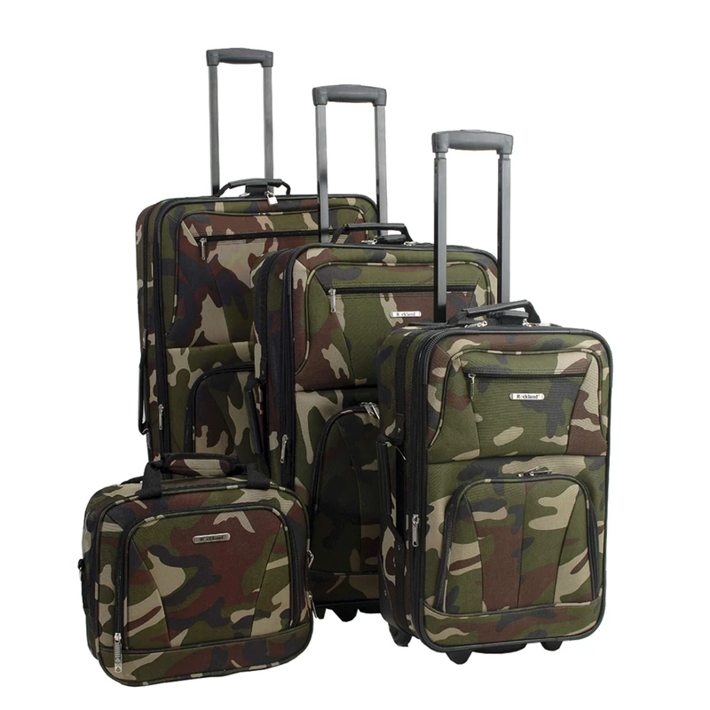
Rockland Luggage Journey Softside Upright Set, Camouflage, 4-Piece Set (14/19/24/28), Journey Softside Upright Luggage Set
Rockland

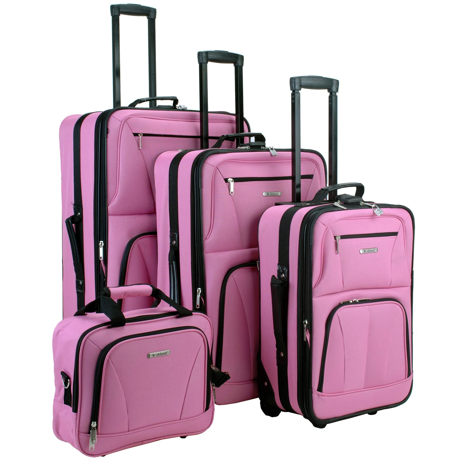
Rockland Luggage 4 Piece Luggage Set, Pink Giraffe, One Size
Rockland
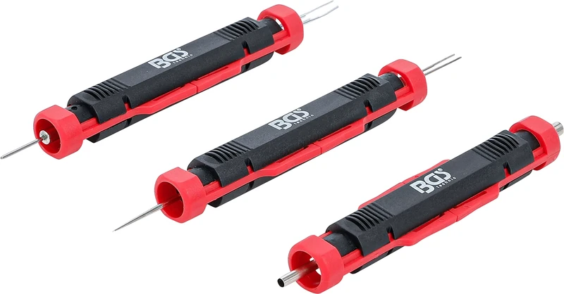
BGS 9807 | Terminal Tool Kit | universal | 3 pcs.
BGS

Rockland Luggage 4 Piece Luggage Set, Pink Plaid, One Size
Rockland
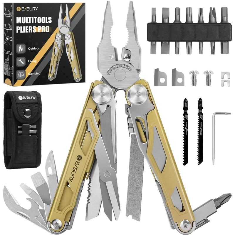
BIBURY Titanium Gold Multi-Tool - Pliers, Screwdriver for Camping
BIBURY
Rockland Luggage Journey Softside Upright Set, Pink, 4-Piece Set (14/19/24/28), Journey Softside Upright Luggage Set
Rockland
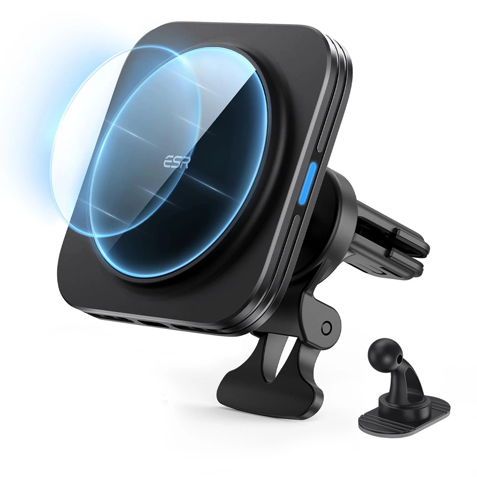
ESR MagSafe Car Mount Charger - 15W Fast Wireless Charger
ESR
2026 National Park Atlas & Guide: Ratg (Rand McNally Road Atlas & National Park Guides)
Rand McNally
Price unavailable
Rockland Impulse 4-Piece Softside Upright Luggage Set, Pucci, 4-Piece Set (14/19/24/28), Impulse 4-Piece Softside Upright Luggage Set
Rockland

The Europa World Year Book 2009
Routledge
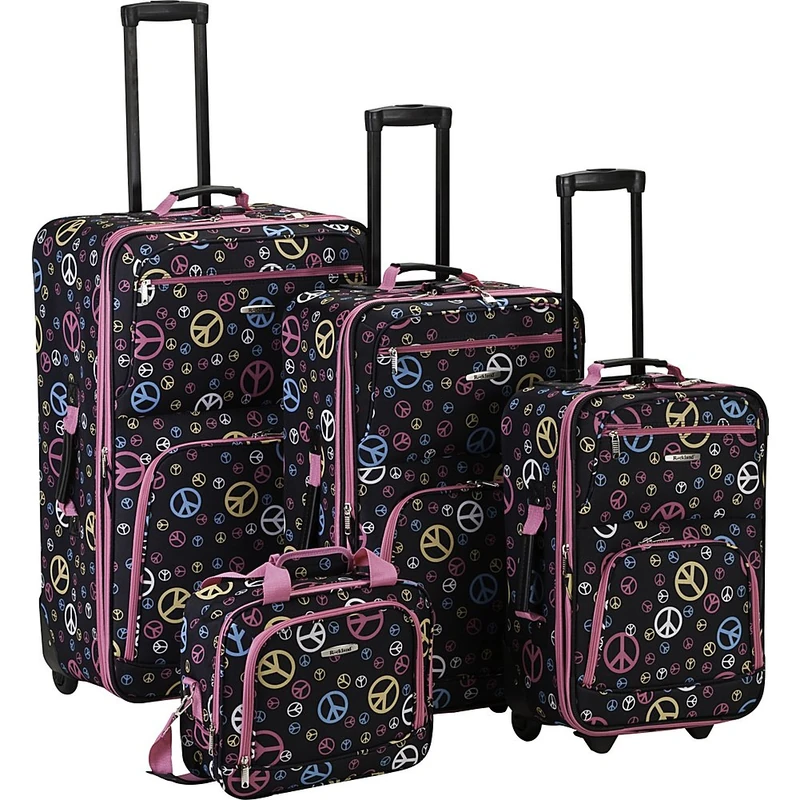
Rockland Luggage 4 Piece Luggage Set, Peace, One Size
Rockland
Zedify 10.1 inch Digital Photo Picture Frame 1280x800 IPS Display with Photo Music Video Player Calendar Alarm, Auto Power On/Off, Wall Mountable with Remote, Gift for Family & Friends
MSTJRY
Price unavailable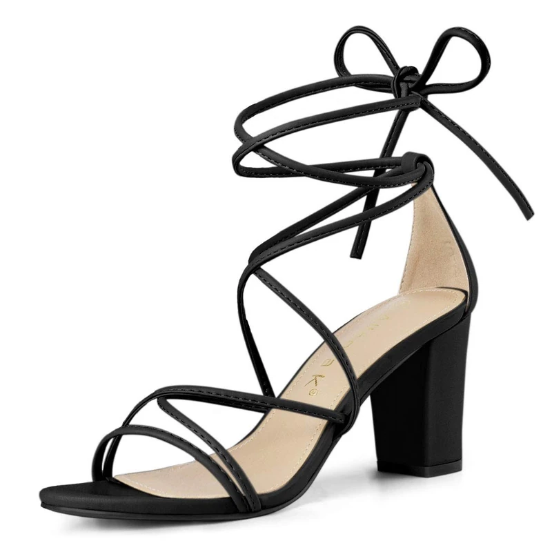
Allegra K Women's Strappy Lace Up Chunky Heeled Sandals Black 5.5 UK/Label Size 7.5 US
Allegra K

Allegra K Women's Strappy Lace Up Chunky Heeled Sandals Black 6.5 UK/Label Size 8.5 US
Allegra K
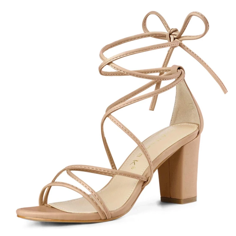
Allegra K Women's Strappy Lace Up Chunky Heeled Sandals Nude 7 UK/Label Size 9 US
Allegra K
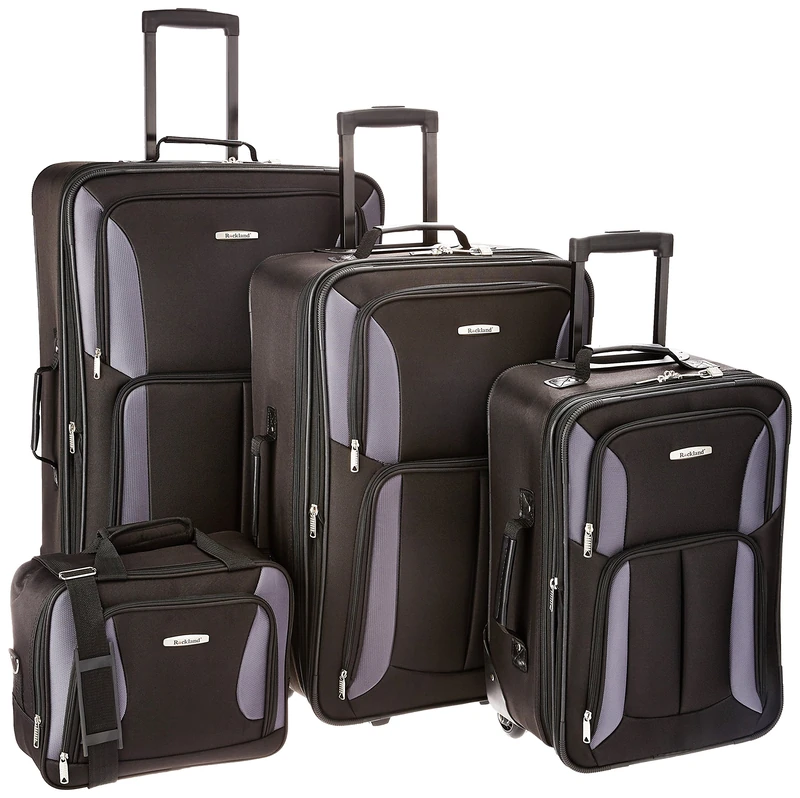
Rockland Luggage Journey Softside Upright Set, Black/Gray, 14 inches, 19 inches, 24 inches, 28 inches, Journey Softside Upright Luggage Set
Rockland