We can't find the internet
Attempting to reconnect
Something went wrong
Hang in there while we get back on track
Out of stock
This item is currently unavailable
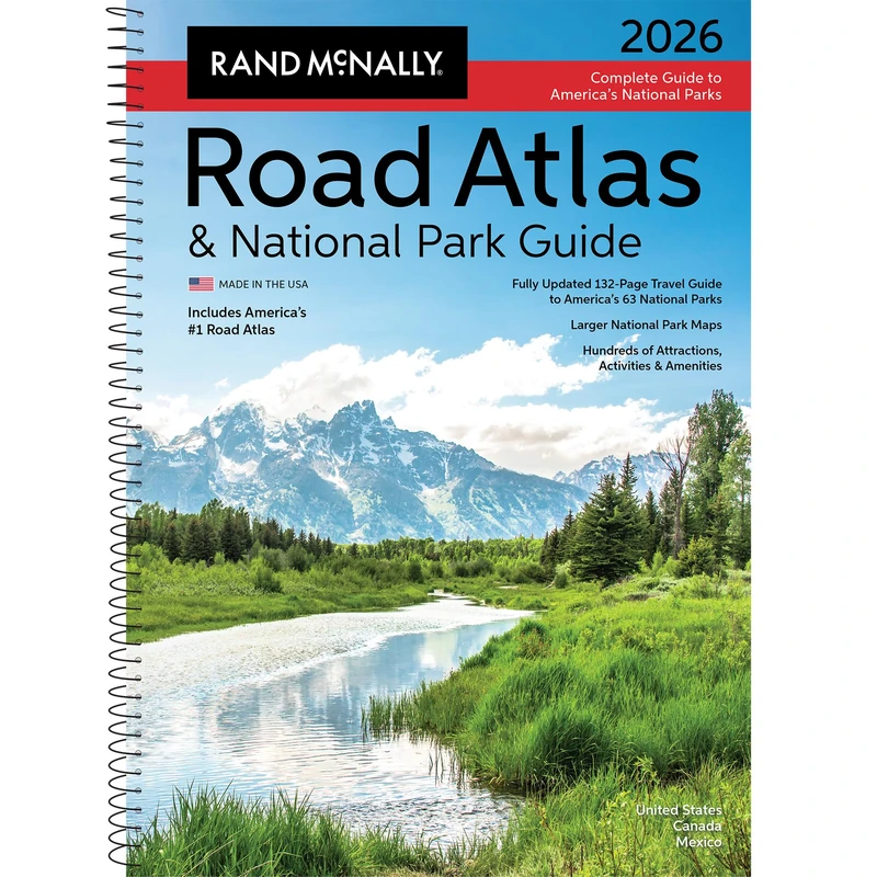
Rand McNally 2026 National Park Atlas & Guide: Ratg (Rand McNally Road Atlas & National Park Guides)
Price data last checked 22 day(s) ago - will refresh soon
One email. No newsletter. No nudges.
Out of stock for 26 days. The last 3 returns each lasted under a day — get on the list.
Out of stock 26 days · last price £48 · usually back within 4 days
NEW HERE?
Amazon shows you one price. We show you all of them.
Tosheroon watches Amazon prices so you don't have to. Every product on Amazon has a price history — we make it visible. Set the price you'd actually pay, and we'll email you the second it gets there. No app, no account, one email.
WHAT'S ON THIS PAGE
when this has been cheap or pricey
where the price is heading next
all-time high & low, recent range
name your number, we'll email you
Price History & Forecast
Grey patches = out of stock. Cheaper = lower on the chart. Hover for exact prices.
Last 69 days · 69 data points (no recent data)
Price Distribution
Price distribution over 69 days • 6 price levels
Price Analysis
Most common price: £42 (28 days, 40.6%)
Price range: £34 - £59
Price levels: 6 different prices over 69 days
Description
Key Features
New Store Stock
Product Specifications
- Brand
- Rand McNally
- Format
- spiral_bound
- ASIN
- 0528029320
- Domain
- Amazon UK
- Release Date
- 01 June 2025
- Listed Since
- 28 January 2025
Barcode
No barcode data available
Similar Products You Might Like
Philip's RGS World Atlas (A4) - Global Cities, Facts and Flags
Philip's
The Far East and Australasia 2015
Routledge
Central and South Eastern Europe 2004
Routledge

Recent Advances in Computer Science and Information Engineering: Volume 1: 124 (Lecture Notes in Electrical Engineering, 124)
Springer