We can't find the internet
Attempting to reconnect
Something went wrong!
Hang in there while we get back on track
£6.25
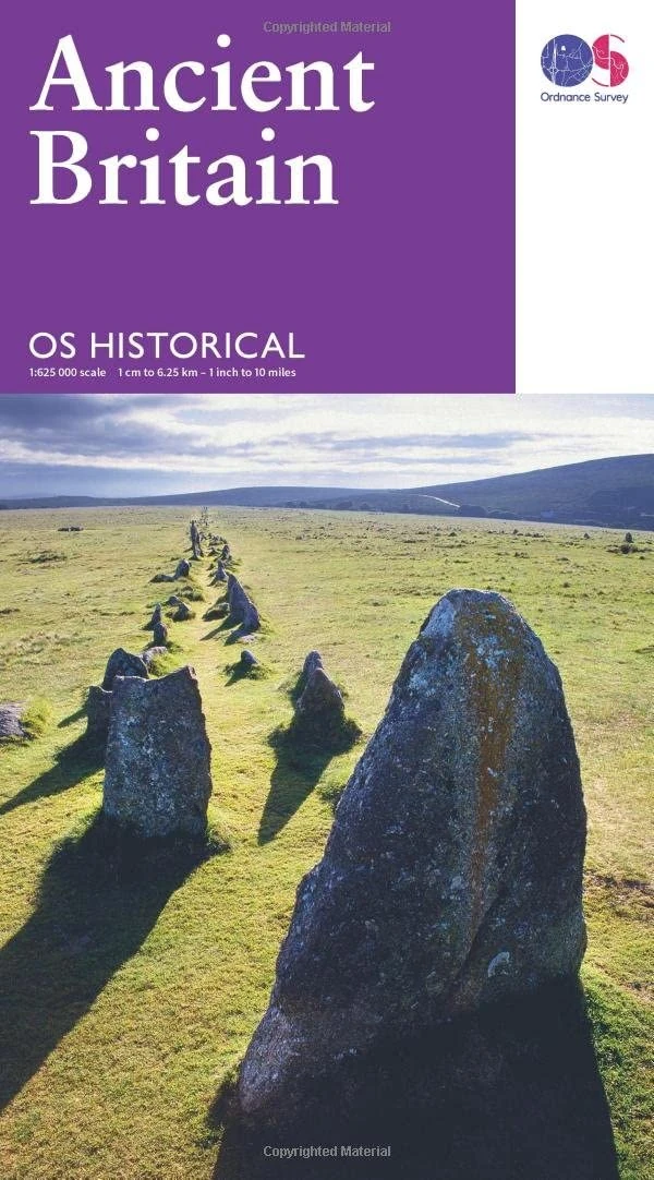
Ordnance Survey Map of Ancient Britain | Historical Map & Guide | Ordnance Survey | Roman Empire | Prehistoric Britain | History Gifts | Geography | British History
Price data last checked 137 day(s) ago - refreshing...
We'll watch every seller, every day. One email when your price arrives.
About as cheap as it gets. The only time it was cheaper was 1 year ago.
£6 today · all-time low £6 (Nov 2024) · usually the usual
NEW HERE?
Amazon shows you one price. We show you all of them.
Tosheroon watches Amazon prices so you don't have to. Every product on Amazon has a price history — we make it visible. Set the price you'd actually pay, and we'll email you the second it gets there. No app, no account, one email.
WHAT'S ON THIS PAGE
when this has been cheap or pricey
where the price is heading next
all-time high & low, recent range
name your number, we'll email you
Price History & Forecast
Grey patches = out of stock. Cheaper = lower on the chart. Hover for exact prices.
Last 594 days • 594 data points (No recent data available)
Price Distribution
Price distribution over 594 days • 5 price levels
Price Analysis
Most common price: £6.25 (497 days, 83.7%)
Price range: £6.17 - £6.99
Price levels: 5 different prices over 594 days
Description
Product Specifications
- Brand
- Ordnance Survey
- Format
- map
- ASIN
- 031926324X
- Domain
- Amazon UK
- Release Date
- 24 February 2016
- Listed Since
- 22 October 2015
Barcode
No barcode data available
Similar Products You Might Like
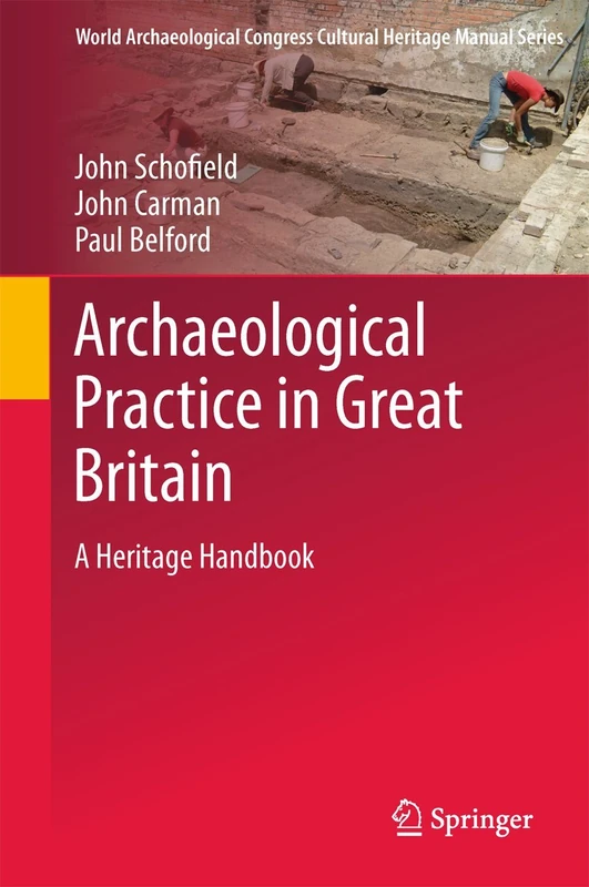
Archaeological Practice in Great Britain: A Heritage Handbook (World Archaeological Congress Cultural Heritage Manual Series)
Springer
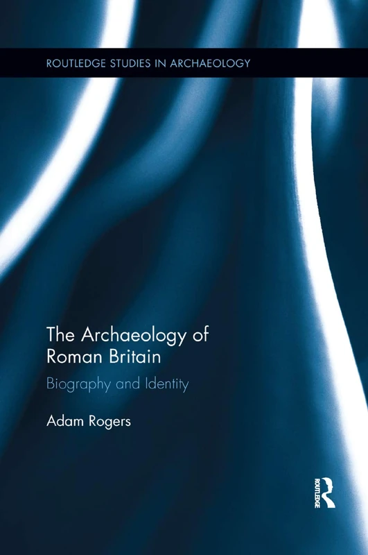
The Archaeology of Roman Britain: Biography and Identity (Routledge Studies in Archaeology)
Routledge
The Archaeology of Roman Britain: Biography and Identity (Routledge Studies in Archaeology)
Routledge
The Science and Archaeology of Materials: An Investigation of Inorganic Materials
Routledge
Formative Britain: An Archaeology of Britain, Fifth to Eleventh Century AD (Routledge Archaeology of Northern Europe)
Routledge
Ancient Britain
Routledge
The Historic Landscape of the Mendip Hills (English Heritage)
Liverpool University Press
Stonehenge: Making Space: v. 1 (Materializing Culture)
Berg Publishers
Wasperton: A Roman, British and Anglo-Saxon Community in Central England
Boydell Press
Ancient Lives: Object, people and place in early Scotland. Essays for David V Clarke on his 70th birthday
Sidestone Press

Creating Prehistory: Druids, Ley Hunters and Archaeologists in Pre-War Britain
Wiley-Blackwell
Living with the Past: the Reuse of Prehistoric Monuments in Anglo-Saxon Settlements: 573 (British Archaeological Reports British Series)
British Archaeological Reports Oxford Ltd
Prehistoric and Later Settlement and Landscape from Chiltern Scarp to Aylesbury Vale: The archaeology of the Aston Clinton Bypass, Buckinghamshire: 473 (British Archaeological Reports British Series)
British Archaeological Reports Oxford Ltd
An Intellectual Adventurer in Archaeology: Reflections on the work of Charles Thomas
Archaeopress Archaeology
Historical Archaeology
Routledge
Historical Archaeology
Routledge

Routledge Archaeology in England and Wales 1914-1931 Book
Routledge
Archaeology, the Public and the Recent Past (Society for Post Medieval Archaeology Monograph Series)
Boydell Press
Stonehenge for the Ancestors: Part 1: Landscape and Monuments (The Stonehenge Riverside Project)
Sidestone Press

Stonehenge for the Ancestors: Part 1: Landscape and Monuments (The Stonehenge Riverside Project)
Sidestone Press
The Earlier Iron Age in Britain and the Near Continent
Oxbow Books
The Archaeology Coursebook: An Introduction to Themes, Sites, Methods and Skills
Routledge
Stonehenge: A Landscape Through Time: 2 (Studies in the British Mesolithic and Neolithic)
Peter Lang Gmbh, Internationaler Verlag Der Wissenschaften
Venta Belgarum: Prehistoric, Roman, and Post-Roman Winchester: 2 (Winchester Studies, 3.1)
Archaeopress