We can't find the internet
Attempting to reconnect
Something went wrong!
Hang in there while we get back on track
£7.74
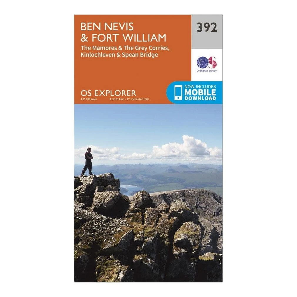
Ordnance Survey OS Explorer Map 392 - Ben Nevis & Fort William
Price data last checked 19 day(s) ago - will refresh soon
We'll watch every seller, every day. One email when your price arrives.
It has never been this cheap. We have no record of a lower price.
£8 today · cheaper than every other day in the last 3 months
NEW HERE?
Amazon shows you one price. We show you all of them.
Tosheroon watches Amazon prices so you don't have to. Every product on Amazon has a price history — we make it visible. Set the price you'd actually pay, and we'll email you the second it gets there. No app, no account, one email.
WHAT'S ON THIS PAGE
when this has been cheap or pricey
where the price is heading next
all-time high & low, recent range
name your number, we'll email you
Price History & Forecast
Grey patches = out of stock. Cheaper = lower on the chart. Hover for exact prices.
Last 72 days • 72 data points (No recent data available)
Price Distribution
Price distribution over 72 days • 2 price levels
Price Analysis
Most common price: £8.99 (58 days, 80.6%)
Price range: £7.74 - £8.99
Price levels: 2 different prices over 72 days
Description
Key Features
Covers Ben Nevis, the largest mountain in the British Isles, ideal for climbers and sightseers alike.
Includes Fort William, Kinlochleven, and Spean Bridge, connecting major hubs and the Great Glen.
Maps the dramatic Mamores and Grey Corries, featuring the famous Ring of Steall hike.
Highlights Nevis Gorge and Steall Falls, the second-highest waterfall in the United Kingdom.
Designed for walking, hiking, climbing, and cycling adventures in the Scottish Highlands.
Produced by Ordnance Survey, ensuring accurate and reliable topographic details for navigation.
Product Specifications
- Brand
- Ordnance Survey
- Format
- map
- ASIN
- 0319246353
- Domain
- Amazon UK
- Release Date
- 16 September 2015
- Listed Since
- 22 April 2015
Barcode
No barcode data available
Similar Products You Might Like
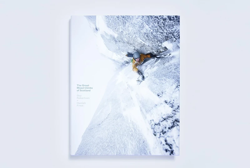
The Great Mixed Climbs of Scotland
Scottish Mountaineering Press
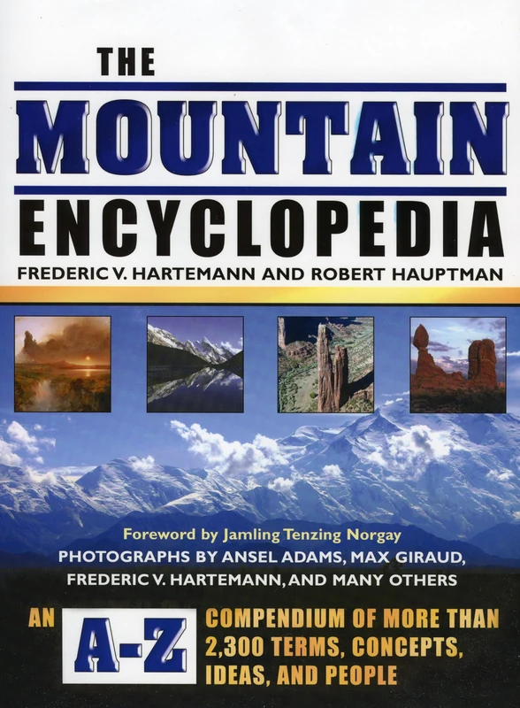
The Mountain Encyclopedia: An A-Z Compendium of Over, Terms, Concepts, Ideas, and People: An A-Z Compendium of More Than 2,300 Terms, Concepts, Ideas, and People
Scarecrow Press
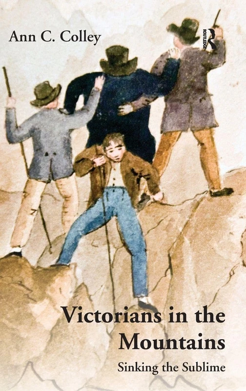
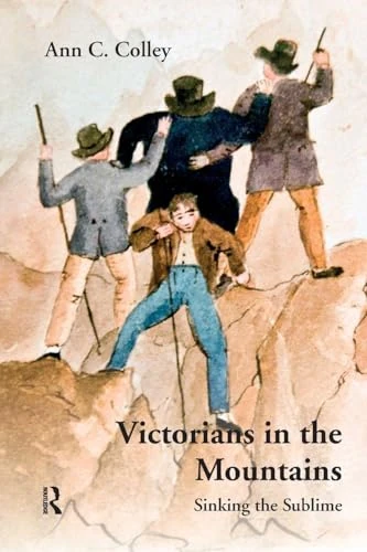
Victorians in the Mountains: Sinking the Sublime
Routledge
Victorians in the Mountains: Sinking the Sublime
Routledge
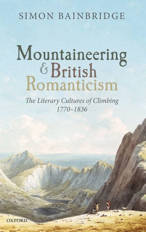
Mountaineering and British Romanticism: The Literary Cultures of Climbing, 1770-1836
Oxford University Press
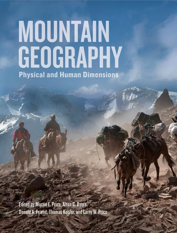
Mountain Geography: Physical and Human Dimensions
University of California Press

2026 Scotland Calendar: Scottish Lochs and Glens- Square Wall Calendar - Month to View - 12 Months
Lomond Books
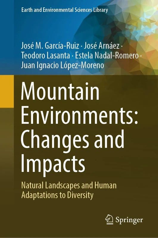
Mountain Environments: Changes and Impacts: Natural Landscapes and Human Adaptations to Diversity (Earth and Environmental Sciences Library)
Springer
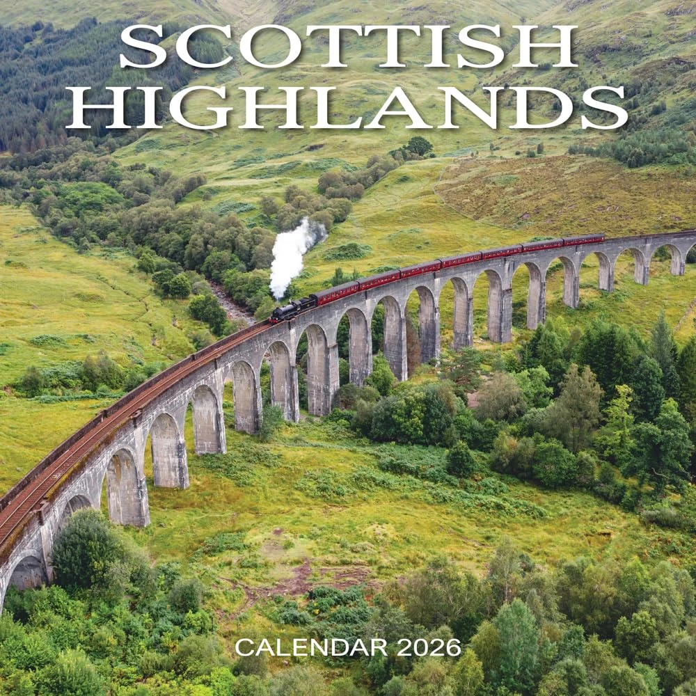
2026 Scotland Calendar: Scottish Highlands - Square Wall Calendar - Month to View - 12 Months
Lomond Books

Blue Ice Taka 22L Pack - India Ink
Blue Ice
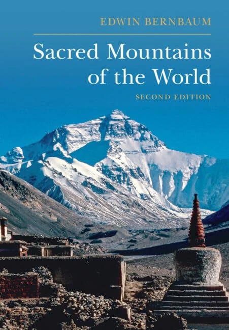
Sacred Mountains of the World
Cambridge University Press

Blue Ice Taka 22L Pack - Glacier Grey
Blue Ice
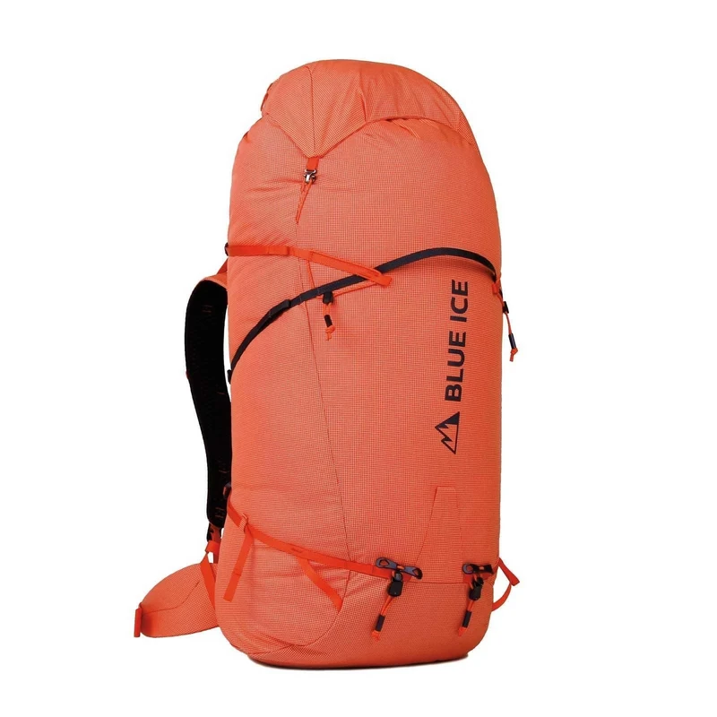
Blue Ice Stache 90 Pack - Orange 90L
Blue Ice

Blue Ice Taka 30L Pack - India Ink
Blue Ice

2026 Scotland Calendar: Scottish Mountains - Square Wall Calendar - Month to View - 12 Months
Lomond Books
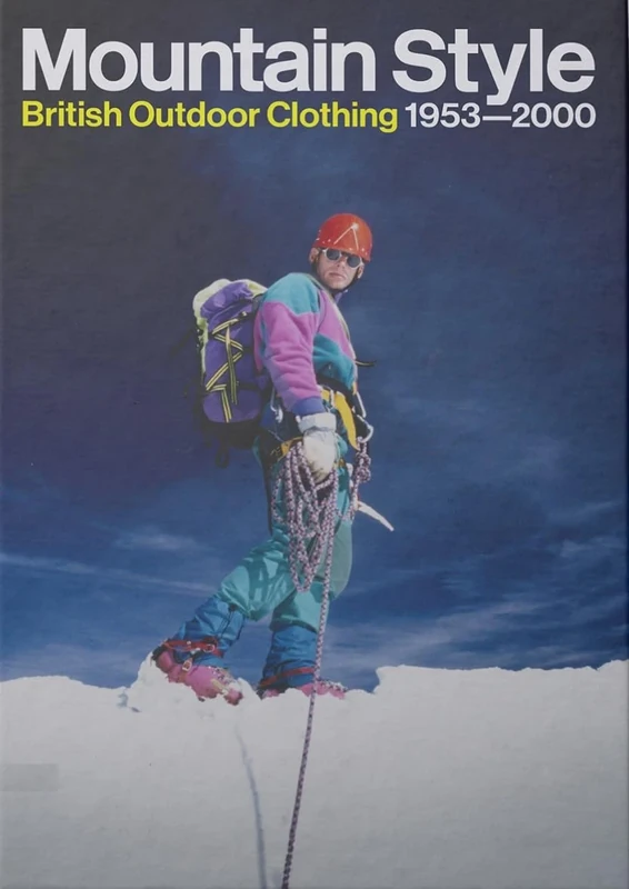
Mountain Style - British Outdoor Clothing 1953 - 2000
Isola Press
Himalayan Perceptions: Environmental Change and the Well-Being of Mountain Peoples (Routledge Studies in Physical Geography and Environment)
Routledge
Les Alpes
PLACE VICTOIRES

Mountaineering Tourism: A Critical Perspective (Routledge Focus on Tourism and Hospitality)
Routledge
One Hundred Mountains of Japan
University of Hawaii Press
Himalayan Perceptions - Routledge Studies in Geography
Routledge

Wall Stickers for Living Room Bedroom 120 x 180 cm
Ambiance Sticker

The Mountain and the Politics of Representation (Liverpool Studies in the Politics of Popular Culture)
Liverpool University Press

Ambiance Wall Sticker, 90 x 120 cm
Ambiance Sticker