We can't find the internet
Attempting to reconnect
Something went wrong
Hang in there while we get back on track
£86.10
CRC Press Remote Sensing for Sustainability (Remote Sensing Applications Series)
Price data last checked 21 day(s) ago - will refresh soon
We'll watch every seller, every day. One email when your price arrives.
This is the most expensive it has ever been. Walk away.
£86 today · previous high £86 · all-time low £86
NEW HERE?
Amazon shows you one price. We show you all of them.
Tosheroon watches Amazon prices so you don't have to. Every product on Amazon has a price history — we make it visible. Set the price you'd actually pay, and we'll email you the second it gets there. No app, no account, one email.
WHAT'S ON THIS PAGE
when this has been cheap or pricey
where the price is heading next
all-time high & low, recent range
name your number, we'll email you
Price History & Forecast
Grey patches = out of stock. Cheaper = lower on the chart. Hover for exact prices.
Last 70 days · 70 data points (no recent data)
Price Distribution
Price distribution over 70 days • 1 price levels
Price Analysis
Most common price: £86 (70 days, 100.0%)
Price range: £86 - £86
Price levels: 1 different prices over 70 days
Description
Product Specifications
- Brand
- CRC Press
- Format
- paperback
- ASIN
- 0367871408
- Domain
- Amazon UK
- Release Date
- 12 December 2019
- Listed Since
- 03 December 2019
Barcode
No barcode data available
Similar Products You Might Like
CRC Press Urban Remote Sensing - Remote Sensing Applications
CRC Press
High Spatial Resolution Remote Sensing: Data, Analysis, and Applications (Imaging Science)
CRC Press
CRC Press Global Urban Monitoring and Assessment - Earth Observation
CRC Press
Remote Sensing of Impervious Surfaces (Remote Sensing Applications Series)
CRC Press
Remote Sensing: Models and Methods for Image Processing
Academic Press

Remote Sensing Applications for the Urban Environment
CRC Press
Environmental Remote Sensing and Systems Analysis
CRC Press

Remote Sensing Handbook, Volume I: Sensors, Data Normalization, Harmonization, Cloud Computing, and Accuracies: 1
CRC Press

Remote Sensing and Digital Image Processing with R
CRC Press
Remote Sensing for Sustainability (Remote Sensing Applications Series)
CRC Press

Remote Sensing Applications for the Urban Environment
CRC Press

Urban High-Resolution Remote Sensing: Algorithms and Modeling
CRC Press
CRC Press - Remote Sensing and Cognition Book
CRC Press
Fuzzy Machine Learning Algorithms for Remote Sensing Image Classification
CRC Press
Urban Remote Sensing: Monitoring, Synthesis and Modeling in the Urban Environment
Wiley-Blackwell
Remote Sensing and Global Environmental Change
Wiley
Remote Sensing of Global Croplands for Food Security (Remote Sensing Applications Series)
CRC Press
Springer Digital Mapping of Soil Landscape Parameters Book
Springer
Remote Sensing and Digital Image Processing with R - Textbook and Lab Manual
CRC Press
Remote Sensing of Protected Lands (Remote Sensing Applications Series)
CRC Press
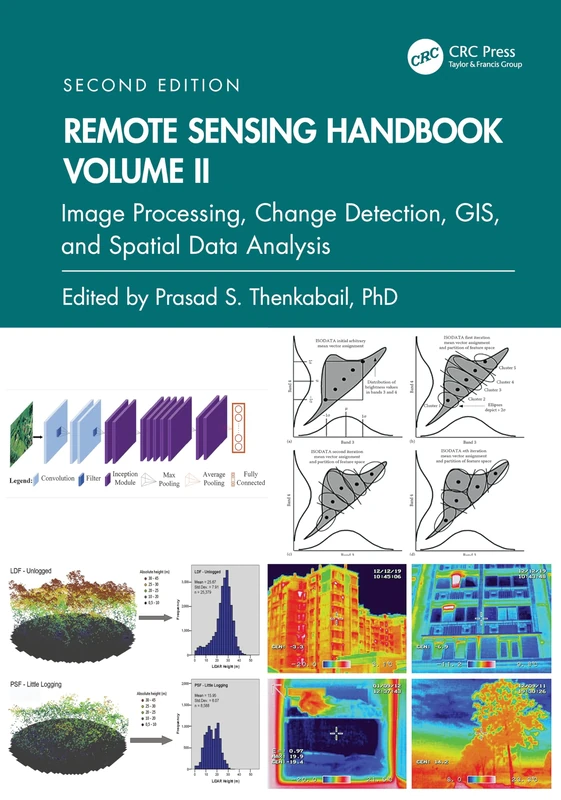
Remote Sensing Handbook, Volume II: Image Processing, Change Detection, GIS, and Spatial Data Analysis: 2
CRC Press
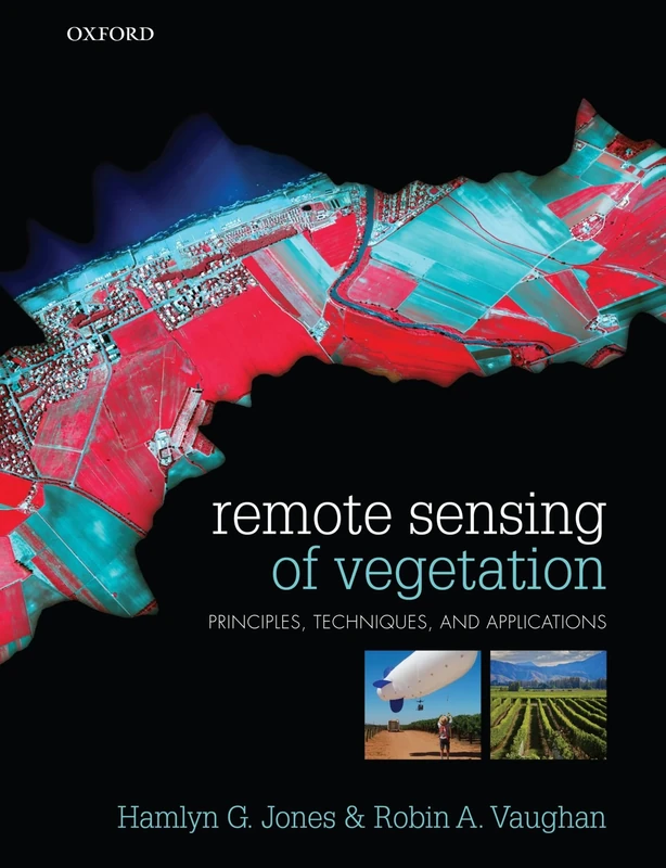
Remote Sensing of Vegetation: Principles, Techniques, and Applications
Oxford University Press
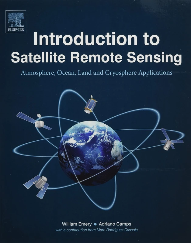
Introduction to Satellite Remote Sensing: Atmosphere, Ocean, Land and Cryosphere Applications
Elsevier
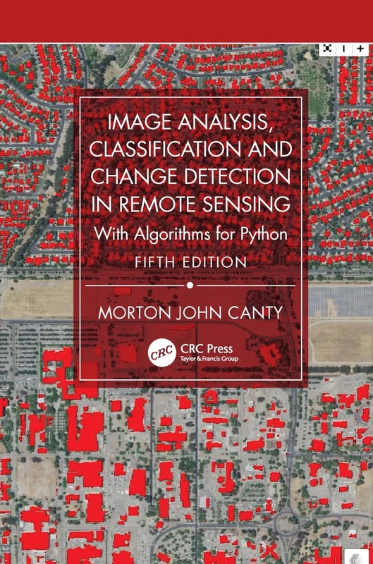
Image Analysis, Classification and Change Detection in Remote Sensing: With Algorithms for Python
CRC Press