We can't find the internet
Attempting to reconnect
Something went wrong
Hang in there while we get back on track
£80.71
CRC Press Fuzzy Machine Learning Algorithms for Remote Sensing Image Classification
Price data last checked 20 day(s) ago - will refresh soon
We'll watch every seller, every day. One email when your price arrives.
This is the most expensive it has ever been. Walk away.
£81 today · previous high £81 · all-time low £79
NEW HERE?
Amazon shows you one price. We show you all of them.
Tosheroon watches Amazon prices so you don't have to. Every product on Amazon has a price history — we make it visible. Set the price you'd actually pay, and we'll email you the second it gets there. No app, no account, one email.
WHAT'S ON THIS PAGE
when this has been cheap or pricey
where the price is heading next
all-time high & low, recent range
name your number, we'll email you
Price History & Forecast
Grey patches = out of stock. Cheaper = lower on the chart. Hover for exact prices.
Last 71 days · 71 data points (no recent data)
Price Distribution
Price distribution over 71 days • 3 price levels
Price Analysis
Most common price: £80 (60 days, 84.5%)
Price range: £79 - £81
Price levels: 3 different prices over 71 days
Description
Product Specifications
- Brand
- CRC Press
- Format
- hardcover
- ASIN
- 036735571X
- Domain
- Amazon UK
- Release Date
- 20 July 2020
- Listed Since
- 25 February 2020
Barcode
No barcode data available
Similar Products You Might Like
Radar Remote Sensing: Applications and Challenges: Volume 2 (Earth Observation)
Elsevier

Remote Sensing Handbook, Volume I: Sensors, Data Normalization, Harmonization, Cloud Computing, and Accuracies: 1
CRC Press

Object and Pattern Recognition in Remote Sensing: Modelling and Monitoring Environmental and Anthropogenic Objects and Change Processes

Multisensor Data Fusion and Machine Learning for Environmental Remote Sensing
CRC Press
High Spatial Resolution Remote Sensing: Data, Analysis, and Applications (Imaging Science)
CRC Press
Environmental Remote Sensing and Systems Analysis
CRC Press
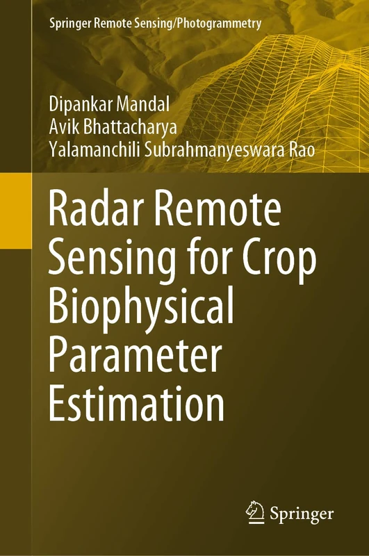
Radar Remote Sensing for Crop Biophysical Parameter Estimation (Springer Remote Sensing/Photogrammetry)
Springer
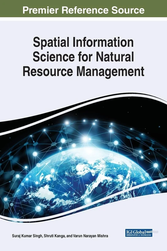
Spatial Information Science for Natural Resource Management (Advances in Environmental Engineering and Green Technologies)
Engineering Science Reference

Remote Sensing and Digital Image Processing with R
CRC Press
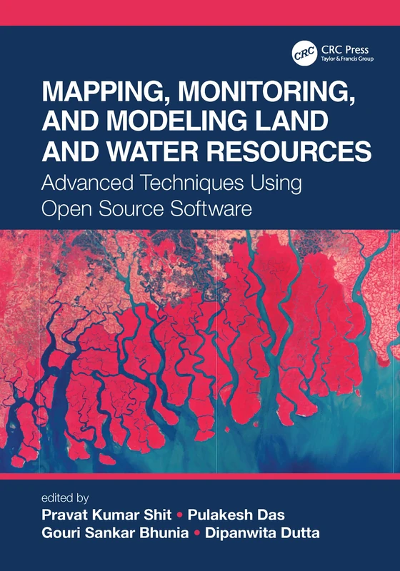
Mapping, Monitoring, and Modeling Land and Water Resources: Advanced Techniques Using Open Source Software
CRC Press
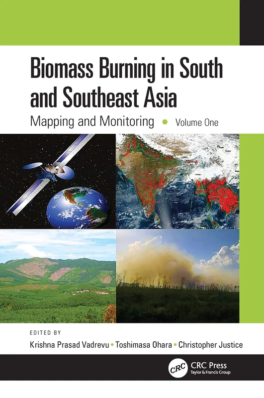
Biomass Burning in South and Southeast Asia: Mapping and Monitoring, Volume One
CRC Press
Remote Sensing: Models and Methods for Image Processing
Academic Press
Introduction to Satellite Remote Sensing: Atmosphere, Ocean, Land and Cryosphere Applications
Elsevier
Remote Sensing and Digital Image Processing with R - Textbook and Lab Manual
CRC Press
Remote Sensing Handbook, Volume II: Image Processing, Change Detection, GIS, and Spatial Data Analysis: 2
CRC Press
Computational Intelligence for Remote Sensing: 133 (Studies in Computational Intelligence, 133)
Springer
CRC Press Biomass Burning in South and Southeast Asia Vol 2
CRC Press
CRC Press - Remote Sensing and Cognition Book
CRC Press
Biomass Burning in South and Southeast Asia, Two Volume Set: Mapping and Monitoring / Impacts on the Biosphere
CRC Press
CRC Press Fundamentals of Satellite Remote Sensing Book
CRC Press
Mediterranean Land-surface Processes Assessed from Space (Regional Climate Studies)
Springer
Remote Sensing Image Fusion (Signal and Image Processing of Earth Observations)
CRC Press
Image Analysis, Classification and Change Detection in Remote Sensing: With Algorithms for Python
CRC Press
Mediterranean Land-surface Processes Assessed from Space (Regional Climate Studies)
Springer