We can't find the internet
Attempting to reconnect
Something went wrong!
Hang in there while we get back on track
£52.77
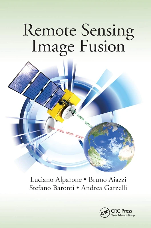
CRC Press Remote Sensing Image Fusion (Signal and Image Processing of Earth Observations)
Price data last checked 102 day(s) ago - refreshing...
We'll watch every seller, every day. One email when your price arrives.
This is the most expensive it has ever been. Walk away.
£53 today · previous high £53 · all-time low £48
NEW HERE?
Amazon shows you one price. We show you all of them.
Tosheroon watches Amazon prices so you don't have to. Every product on Amazon has a price history — we make it visible. Set the price you'd actually pay, and we'll email you the second it gets there. No app, no account, one email.
WHAT'S ON THIS PAGE
when this has been cheap or pricey
where the price is heading next
all-time high & low, recent range
name your number, we'll email you
Price History & Forecast
Grey patches = out of stock. Cheaper = lower on the chart. Hover for exact prices.
Last 304 days • 304 data points (No recent data available)
Price Distribution
Price distribution over 304 days • 3 price levels
Price Analysis
Most common price: £50 (222 days, 73.0%)
Price range: £49 - £53
Price levels: 3 different prices over 304 days
Description
Product Specifications
- Brand
- CRC Press
- Format
- paperback
- ASIN
- 0367868180
- Domain
- Amazon UK
- Release Date
- 12 December 2019
- Listed Since
- 03 December 2019
Barcode
No barcode data available
Similar Products You Might Like

Spatial Information Science for Natural Resource Management (Advances in Environmental Engineering and Green Technologies)
Engineering Science Reference

Fuzzy Machine Learning Algorithms for Remote Sensing Image Classification
CRC Press

Remote Sensing Applications in Meteorology and Climatology: 201 (Nato Science Series C:, 201)
Springer
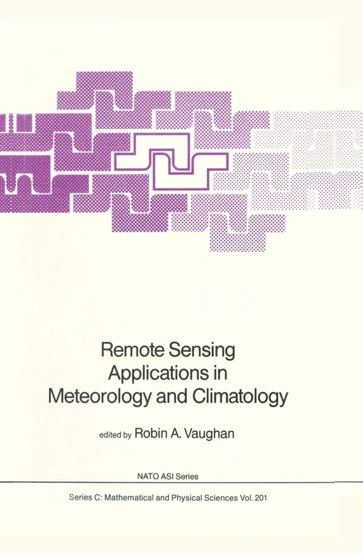
Remote Sensing Applications in Meteorology and Climatology: 201 (Nato Science Series C:, 201)
Springer
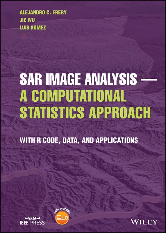
SAR Image Analysis - A Computational Statistics Approach: With R Code, Data, and Applications
Wiley-IEEE Press

Remote Sensing Handbook, Volume I: Sensors, Data Normalization, Harmonization, Cloud Computing, and Accuracies: 1
CRC Press

Remote Sensing Image Fusion (Signal and Image Processing of Earth Observations)
CRC Press

Signal and Image Processing for Remote Sensing (Signal and Image Processing of Earth Observations)

Multisensor Data Fusion and Machine Learning for Environmental Remote Sensing
CRC Press

Radar Remote Sensing: Applications and Challenges: Volume 2 (Earth Observation)
Elsevier

Manual of Remote Sensing, Remote Sensing for the Earth Sciences (Manual of Remote Sensing, 3rd Edition)
Wiley

High Spatial Resolution Remote Sensing: Data, Analysis, and Applications (Imaging Science)
CRC Press
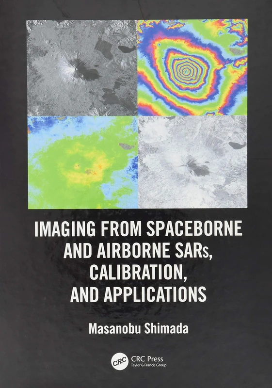
Imaging from Spaceborne and Airborne SARs, Calibration, and Applications (SAR Remote Sensing)
CRC Press

Imaging from Spaceborne and Airborne SARs, Calibration, and Applications (SAR Remote Sensing)
CRC Press

Introduction to Satellite Remote Sensing: Atmosphere, Ocean, Land and Cryosphere Applications
Elsevier

Introduction to the Physics and Techniques of Remote Sensing (Wiley Series in Remote Sensing and Image Processing)
Wiley

Real-Time Recursive Hyperspectral Sample and Band Processing: Algorithm Architecture and Implementation
Springer

Radar Remote Sensing for Crop Biophysical Parameter Estimation (Springer Remote Sensing/Photogrammetry)
Springer

Analysis of Multi-temporal Remote Sensing Images: Proceedings of the First International Conference on Multitemp 2001, University of Trento, Italy, 13-14 September 2001 (Series in Remote Sensing): 2
World Scientific Publishing Company

Wiley-IEEE Press Remote Sensing with Polarimetric Radar Book
Wiley-IEEE Press
Remote Sensing and Digital Image Processing with R - Textbook and Lab Manual

Real-Time Progressive Hyperspectral Image Processing: Endmember Finding and Anomaly Detection
Springer

Real-Time Progressive Hyperspectral Image Processing: Endmember Finding and Anomaly Detection
Springer
