We can't find the internet
Attempting to reconnect
Something went wrong
Hang in there while we get back on track

£154.51
Wiley Manual of Remote Sensing, Remote Sensing for the Earth Sciences (Manual of Remote Sensing, 3rd Edition)
Price data last checked 15 day(s) ago - will refresh soon
We'll watch every seller, every day. One email when your price arrives.
This is the usual price. Wait for it to drop, or tell us your number.
£155 today · usual range £130–£194 · best ever £130
NEW HERE?
Amazon shows you one price. We show you all of them.
Tosheroon watches Amazon prices so you don't have to. Every product on Amazon has a price history — we make it visible. Set the price you'd actually pay, and we'll email you the second it gets there. No app, no account, one email.
WHAT'S ON THIS PAGE
when this has been cheap or pricey
where the price is heading next
all-time high & low, recent range
name your number, we'll email you
Price History & Forecast
Grey patches = out of stock. Cheaper = lower on the chart. Hover for exact prices.
Last 76 days · 76 data points (no recent data)
Price Distribution
Price distribution over 76 days • 6 price levels
Price Analysis
Most common price: £154 (19 days, 25.0%)
Price range: £130 - £194
Price levels: 6 different prices over 76 days
Description
Product Specifications
- Brand
- Wiley
- Format
- hardcover
- ASIN
- 0471294055
- Domain
- Amazon UK
- Release Date
- 22 March 1999
- Listed Since
- 13 February 2007
Barcode
No barcode data available
Similar Products You Might Like

Object and Pattern Recognition in Remote Sensing: Modelling and Monitoring Environmental and Anthropogenic Objects and Change Processes
Remote Sensing and Digital Image Processing with R - Textbook and Lab Manual
CRC Press

Advances in Land Remote Sensing: System, Modeling, Inversion and Application
Springer

Remote Sensing Handbook, Volume I: Sensors, Data Normalization, Harmonization, Cloud Computing, and Accuracies: 1
CRC Press
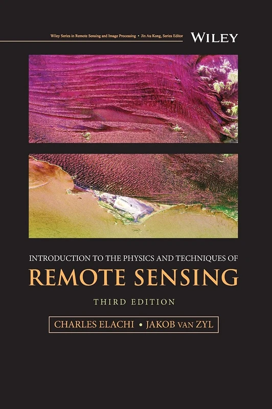
Introduction to the Physics and Techniques of Remote Sensing (Wiley Series in Remote Sensing and Image Processing)
Wiley
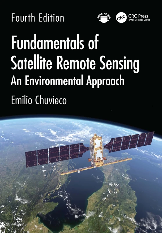
CRC Press Fundamentals of Satellite Remote Sensing Book
CRC Press
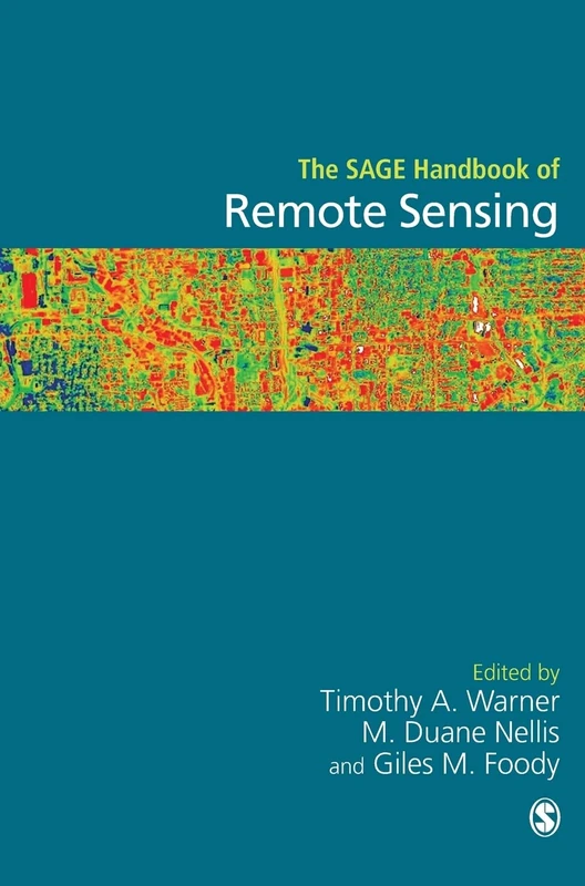
Sage Publications The SAGE Handbook of Remote Sensing - Book
Sage Publications
Remote Sensing Geology
Springer
The Remote Sensing Data Book
Cambridge University Press
Signal and Image Processing for Remote Sensing (Signal and Image Processing of Earth Observations)
CRC Press
The Remote Sensing Data Book
Cambridge University Press
Satellite Remote Sensing for Earth and Space Science: Earth Observation & Geo-informatics
LAP Lambert Academic Publishing
Image Analysis, Classification and Change Detection in Remote Sensing: With Algorithms for Python
CRC Press
Remote Sensing and Global Environmental Change
Wiley

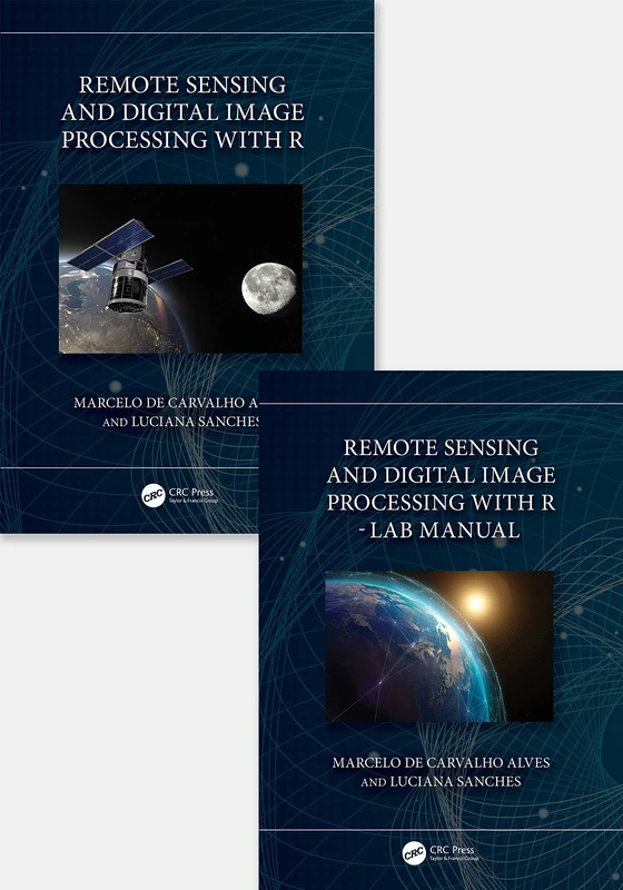
Remote Sensing and Digital Image Processing with R
CRC Press
Remote Sensing for Sustainability (Remote Sensing Applications Series)
CRC Press
Essential Image Processing and GIS for Remote Sensing (Essential (John Wiley & Sons))
Wiley
Advances in Geoscience and Remote Sensing
IntechOpen
Introduction to Remote Sensing
CRC Press
CRC Press - Image Processing and Data Analysis with ERDAS IMAGINE
CRC Press

Remote Sensing Big Data (Springer Remote Sensing/Photogrammetry)
Springer
Remote Sensing Tools for Exploration: Observing and Interpreting the Electromagnetic Spectrum
Springer

Physical Principles of Remote Sensing
Cambridge University Press
Remote Sensing Geology
Springer