We can't find the internet
Attempting to reconnect
Something went wrong
Hang in there while we get back on track
£57.69
Wiley Essential Image Processing and GIS for Remote Sensing (Essential (John Wiley & Sons))
Illustrated
Price data last checked 27 day(s) ago - will refresh soon
We'll watch every seller, every day. One email when your price arrives.
About as cheap as it gets. The only time it was cheaper was 2 months ago.
£58 today · all-time low £56 (May 2026) · usually £58
NEW HERE?
Amazon shows you one price. We show you all of them.
Tosheroon watches Amazon prices so you don't have to. Every product on Amazon has a price history — we make it visible. Set the price you'd actually pay, and we'll email you the second it gets there. No app, no account, one email.
WHAT'S ON THIS PAGE
when this has been cheap or pricey
where the price is heading next
all-time high & low, recent range
name your number, we'll email you
Price History & Forecast
Grey patches = out of stock. Cheaper = lower on the chart. Hover for exact prices.
Last 64 days · 64 data points (no recent data)
Price Distribution
Price distribution over 64 days • 3 price levels
Price Analysis
Most common price: £59 (32 days, 50.0%)
Price range: £56 - £59
Price levels: 3 different prices over 64 days
Description
Key Features
New
Mint Condition
Dispatch same day for order received before 12 noon
Guaranteed packaging
No quibbles returns
Product Specifications
- Brand
- Wiley
- Model
- Illustrated
- Format
- paperback
- ASIN
- 0470510315
- Domain
- Amazon UK
- Release Date
- 10 September 2009
- Listed Since
- 08 May 2007
Barcode
No barcode data available
Similar Products You Might Like
Remote Sensing and Digital Image Processing with R - Textbook and Lab Manual
CRC Press

Remote Sensing Handbook, Volume I: Sensors, Data Normalization, Harmonization, Cloud Computing, and Accuracies: 1
CRC Press

Object and Pattern Recognition in Remote Sensing: Modelling and Monitoring Environmental and Anthropogenic Objects and Change Processes

Remote Sensing and Digital Image Processing with R
CRC Press
Remote Sensing Handbook, Volume II: Image Processing, Change Detection, GIS, and Spatial Data Analysis: 2
CRC Press
Remote Sensing Digital Image Analysis
Springer
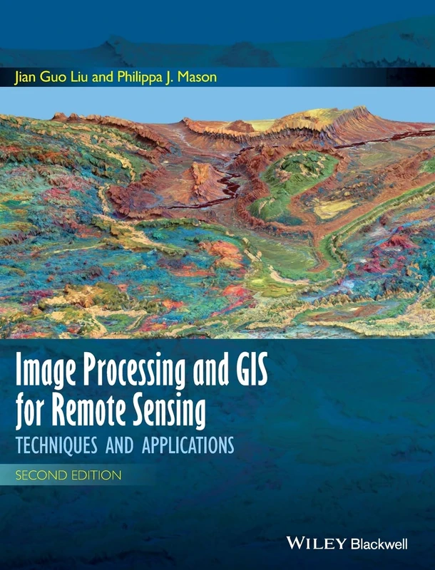
Image Processing and GIS for Remote Sensing: Techniques and Applications, 2nd Edition
Wiley-Blackwell
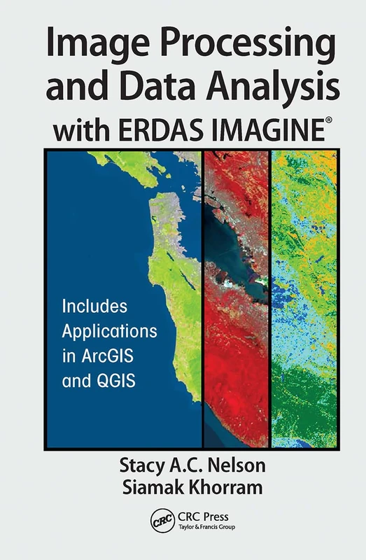
CRC Press - Image Processing and Data Analysis with ERDAS IMAGINE
CRC Press
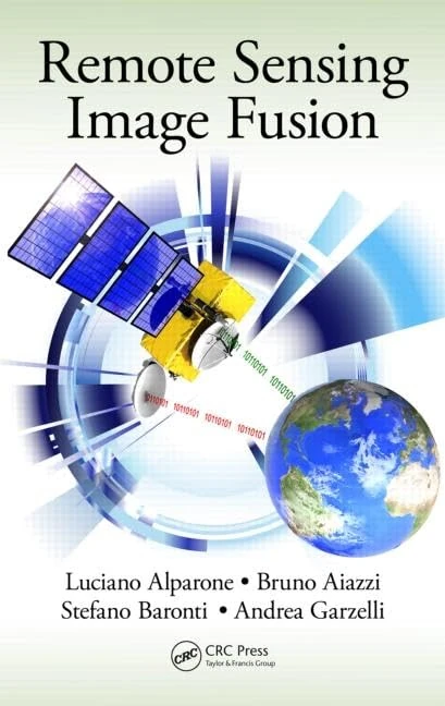
Remote Sensing Image Fusion (Signal and Image Processing of Earth Observations)
CRC Press
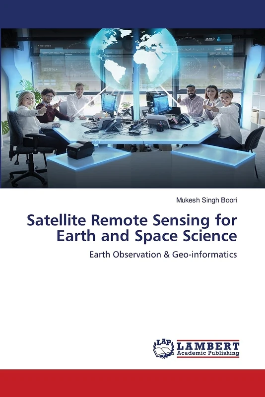
Satellite Remote Sensing for Earth and Space Science: Earth Observation & Geo-informatics
LAP Lambert Academic Publishing
Remote Sensing Techniques and GIS Applications in Earth and Environmental Studies
Information Science Reference
Remote Sensing Big Data (Springer Remote Sensing/Photogrammetry)
Springer
Signal and Image Processing for Remote Sensing (Signal and Image Processing of Earth Observations)
CRC Press

Manual of Remote Sensing, Remote Sensing for the Earth Sciences (Manual of Remote Sensing, 3rd Edition)
Wiley

Multisensor Data Fusion and Machine Learning for Environmental Remote Sensing
CRC Press
CRC Press Fundamentals of Satellite Remote Sensing Book
CRC Press
Remote Sensing Time Series Image Processing (Imaging Science)
CRC Press
Image Analysis, Classification and Change Detection in Remote Sensing: With Algorithms for Python
CRC Press

Scale Issues in Remote Sensing
Wiley
Advances in Photogrammetry, Remote Sensing and Spatial Information Sciences: 2008 ISPRS Congress Book: 7 (ISPRS Book Series)
CRC Press
Advances in Land Remote Sensing: System, Modeling, Inversion and Application
Springer
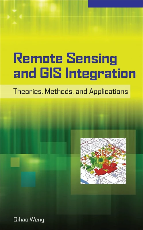
Remote Sensing and GIS Integration: Theories, Methods, and Applications (ELECTRONICS)
McGraw-Hill Education
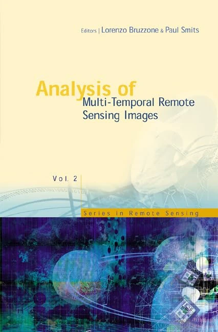
Analysis of Multi-temporal Remote Sensing Images: Proceedings of the First International Conference on Multitemp 2001, University of Trento, Italy, 13-14 September 2001 (Series in Remote Sensing): 2
World Scientific Publishing Company

Urban High-Resolution Remote Sensing: Algorithms and Modeling
CRC Press