We can't find the internet
Attempting to reconnect
Something went wrong
Hang in there while we get back on track
£26.79
It has never been this cheap. We have no record of a lower price.
£27 today · cheaper than every other day in the last 3 months
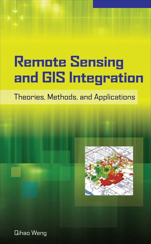
McGraw-Hill Education Remote Sensing and GIS Integration: Theories, Methods, and Applications (ELECTRONICS)
We'll watch every seller, every day. One email when your price arrives.
Price History & Forecast
Grey patches = out of stock. Cheaper = lower on the chart. Hover for exact prices.
Last 23 days · 23 data points (no recent data)
NEW HERE?
Amazon shows you one price. We show you all of them.
Tosheroon watches Amazon prices so you don't have to. Every product on Amazon has a price history — we make it visible. Set the price you'd actually pay, and we'll email you the second it gets there. No app, no account, one email.
WHAT'S ON THIS PAGE
when this has been cheap or pricey
where the price is heading next
all-time high & low, recent range
name your number, we'll email you
Price Distribution
Price distribution over 23 days • 1 price levels
Price Analysis
Most common price: £27 (23 days, 100.0%)
Price range: £27 - £27
Price levels: 1 different prices over 23 days
Description
Key Features
New
Mint Condition
Dispatch same day for order received before 12 noon
Guaranteed packaging
No quibbles returns
Product Specifications
- Brand
- McGraw-Hill Education
- Format
- hardcover
- ASIN
- 007160653X
- Domain
- Amazon UK
- Release Date
- 19 October 2009
- Listed Since
- 30 March 2009
Barcode
No barcode data available
Similar Products You Might Like
Wiley Remote Sensing and Image Interpretation - 7th Edition
Wiley
Remote Sensing Techniques and GIS Applications in Earth and Environmental Studies
Delve Publishing
Advances in Geoscience and Remote Sensing
IntechOpen

Introduction to Remote Sensing
Syrawood Publishing House
Remote Sensing Techniques and GIS Applications in Earth and Environmental Studies
Information Science Reference
Introductory Remote Sensing Principles and Concepts: Digital Image Processing and Applications
Routledge
Satellite Remote Sensing for Earth and Space Science: Earth Observation & Geo-informatics
LAP Lambert Academic Publishing
Remote Sensing Digital Image Analysis
Springer

Remote Sensing and Global Environmental Change
Wiley
The Remote Sensing Data Book
Cambridge University Press
The Remote Sensing Data Book
Cambridge University Press
Environmental Modelling with GIS and Remote Sensing (Geographic Information Systems Workshop)
CRC Press

Introduction to Remote Sensing
CRC Press
Essential Image Processing and GIS for Remote Sensing (Essential (John Wiley & Sons))
Wiley
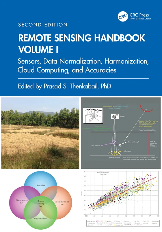
Remote Sensing Handbook, Volume I: Sensors, Data Normalization, Harmonization, Cloud Computing, and Accuracies: 1
CRC Press
Geoscience and Remote Sensing: New Achievements
IntechOpen
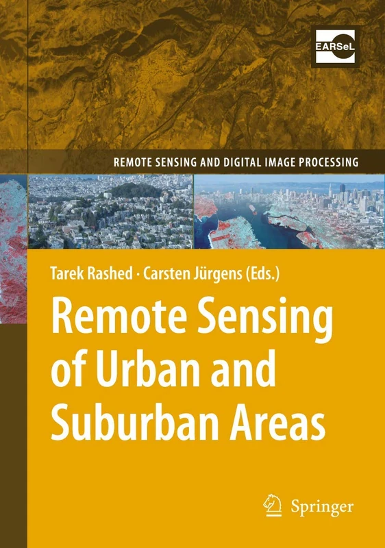
Remote Sensing of Urban and Suburban Areas: 10 (Remote Sensing and Digital Image Processing, 10)
Springer

Encyclopedia of Remote Sensing - Springer Earth Sciences Series
Springer

SAGE Handbook of Remote Sensing - Research Reference
Sage Publishing

Remote Sensing of Natural Resources - Volume 9
CRC Press
Remote Sensing Big Data (Springer Remote Sensing/Photogrammetry)
Springer
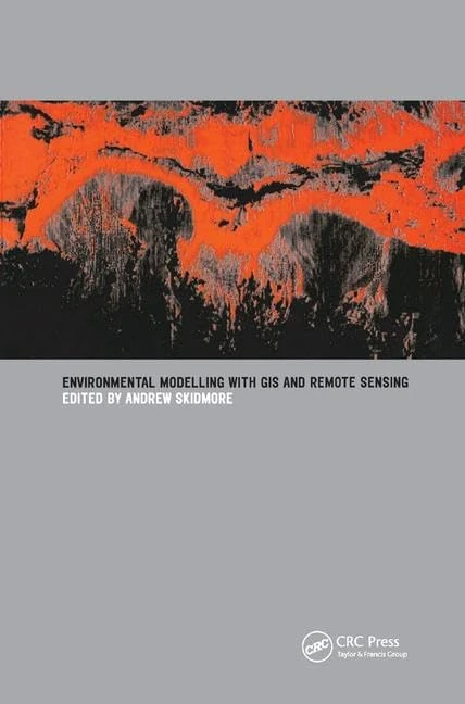
Environmental Modelling with GIS and Remote Sensing
CRC Press
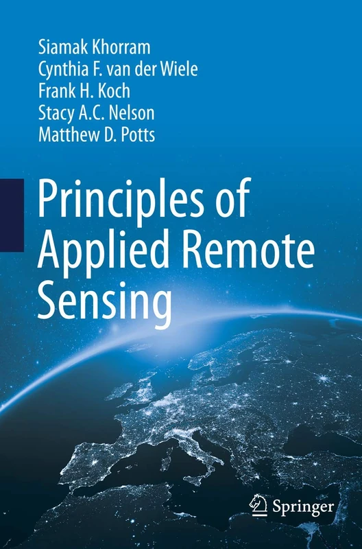
Principles of Applied Remote Sensing
Springer

An Introduction to Contemporary Remote Sensing (ELECTRONICS)
McGraw-Hill Education