We can't find the internet
Attempting to reconnect
Something went wrong
Hang in there while we get back on track
£110.37
About as cheap as it gets — within 5% of the all-time low it hit 1 month ago.
£110 today · all-time low £108 (Sep 2026) · usually £109
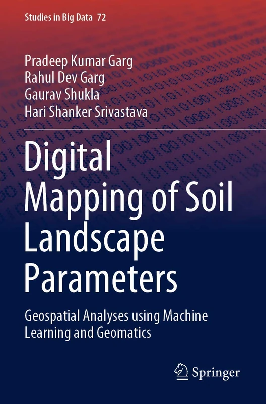
Springer Digital Mapping of Soil Landscape Parameters - Machine Learning Guide
We'll watch every seller, every day. One email when your price arrives.
Price History & Forecast
Grey patches = out of stock. Cheaper = lower on the chart. Hover for exact prices.
Last 74 days · 74 data points (no recent data)
NEW HERE?
Amazon shows you one price. We show you all of them.
Tosheroon watches Amazon prices so you don't have to. Every product on Amazon has a price history — we make it visible. Set the price you'd actually pay, and we'll email you the second it gets there. No app, no account, one email.
WHAT'S ON THIS PAGE
when this has been cheap or pricey
where the price is heading next
all-time high & low, recent range
name your number, we'll email you
Price Distribution
Price distribution over 74 days • 4 price levels
Price Analysis
Most common price: £109 (36 days, 48.6%)
Price range: £108 - £111
Price levels: 4 different prices over 74 days
Description
Key Features
Covers fundamental concepts of soil-landscape parameter mapping in geospatial domains using machine learning methodologies.
Demonstrates practical applications of geomatics and machine learning for improved mapping accuracy and land management decision-making.
Addresses contemporary challenges in sustainable land use through continuous resource monitoring and geospatial analysis.
Part of Springer's Studies in Big Data series (Volume 72), providing peer-reviewed academic research on geospatial big data applications.
Includes machine learning techniques for analysing remote sensing and geospatial datasets to enhance soil characterisation and landscape understanding.
Product Specifications
- Brand
- Springer
- Format
- paperback
- ASIN
- 9811532400
- Domain
- Amazon UK
- Release Date
- 21 February 2021
- Listed Since
- 26 January 2021
Barcode
No barcode data available
Similar Products You Might Like

Fuzzy Machine Learning Algorithms for Remote Sensing Image Classification
CRC Press

High Spatial Resolution Remote Sensing: Data, Analysis, and Applications (Imaging Science)
CRC Press
Remote Sensing Handbook, Volume I: Sensors, Data Normalization, Harmonization, Cloud Computing, and Accuracies: 1
CRC Press
Spatial Information Science for Natural Resource Management (Advances in Environmental Engineering and Green Technologies)
Engineering Science Reference

Remote Sensing for Sustainability (Remote Sensing Applications Series)
CRC Press
Radar Remote Sensing for Crop Biophysical Parameter Estimation (Springer Remote Sensing/Photogrammetry)
Springer
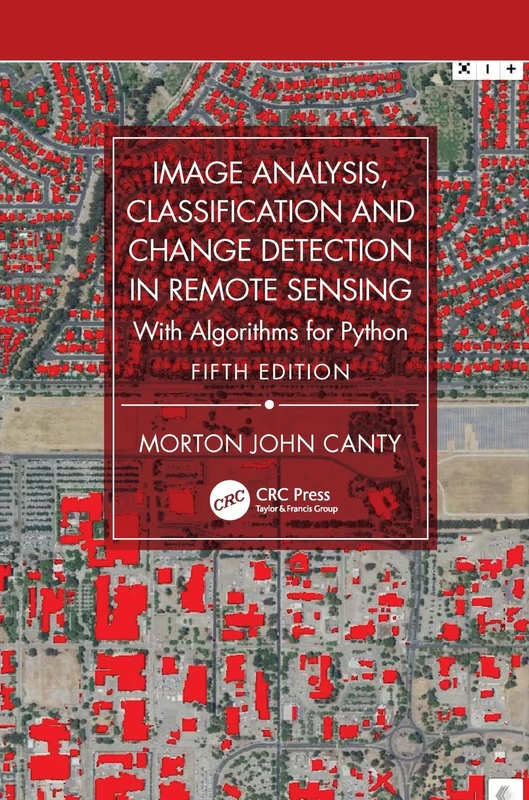
CRC Press Remote Sensing Image Analysis and Python Algorithms
CRC Press

Urban Development in Asia and Africa: Geospatial Analysis of Metropolises (The Urban Book Series)
Springer
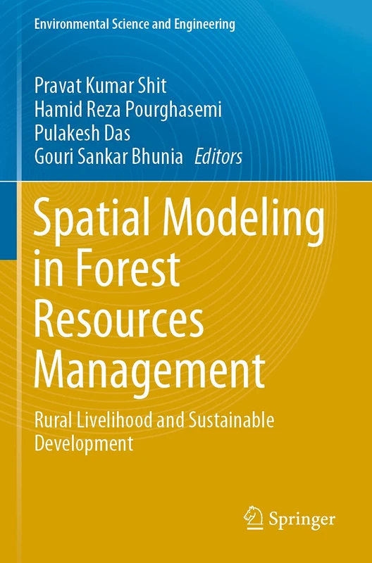
Spatial Modeling in Forest Resources Management: Rural Livelihood and Sustainable Development (Environmental Science and Engineering)
Springer

Remote Sensing and Cognition: Human Factors in Image Interpretation
CRC Press
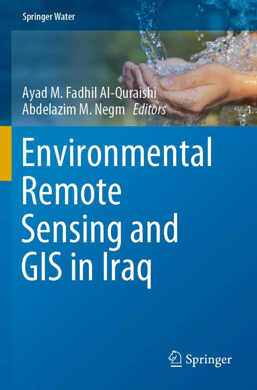
Environmental Remote Sensing and GIS in Iraq (Springer Water)
Springer
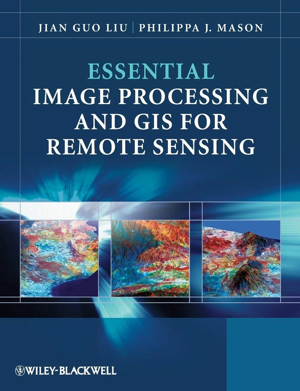
Essential Image Processing and GIS for Remote Sensing (Essential (John Wiley & Sons))
Wiley
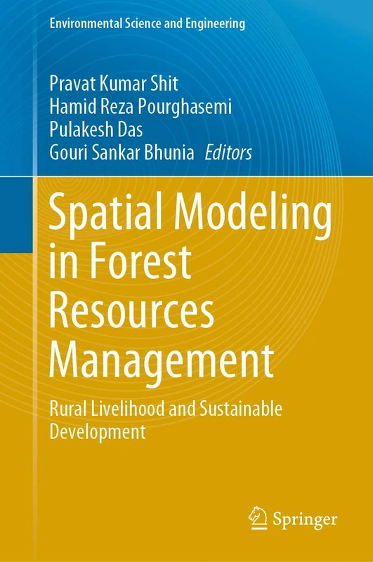
Spatial Modeling in Forest Resources Management: Rural Livelihood and Sustainable Development (Environmental Science and Engineering)
Springer

Global Urban Monitoring Assessment Earth Observation - Remote Sensing
CRC Press
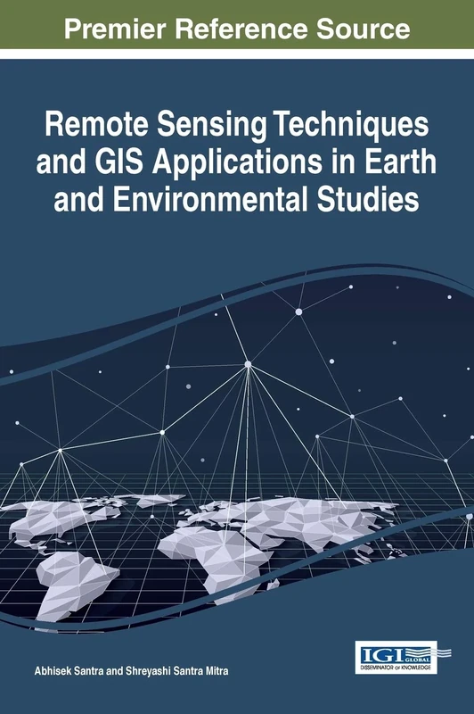
Remote Sensing Techniques and GIS Applications in Earth and Environmental Studies
Information Science Reference

Earth Observations and Geospatial Science in Service of Sustainable Development Goals: 12th International Conference of the African Association of ... and the Environment (Southern Space Studies)
Springer
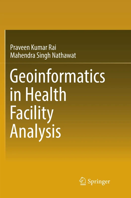
Geoinformatics in Health Facility Analysis
Springer

Environmental Remote Sensing and Systems Analysis
CRC Press

Sundarbans Mangrove Systems: Geo-Informatics Approach - CRC Press
CRC Press

Remote Sensing Applications for the Urban Environment
CRC Press
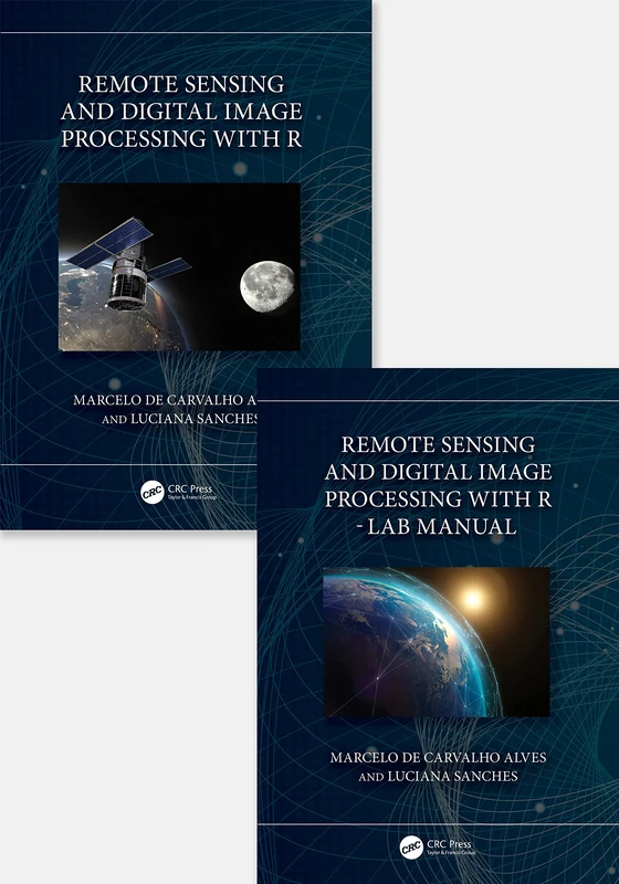
Remote Sensing and Digital Image Processing with R - Textbook and Lab Manual
CRC Press
Remote Sensing and Digital Image Processing with R
CRC Press

Earth Observations and Geospatial Science in Service of Sustainable Development Goals: 12th International Conference of the African Association of ... and the Environment (Southern Space Studies)
Springer
Towards Mathematics, Computers and Environment: A Disasters Perspective
Springer