We can't find the internet
Attempting to reconnect
Something went wrong
Hang in there while we get back on track
£167.15
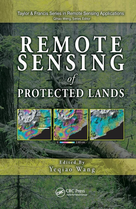
CRC Press Remote Sensing of Protected Lands (Remote Sensing Applications Series)
Price data last checked 18 day(s) ago - will refresh soon
We'll watch every seller, every day. One email when your price arrives.
It has never been this cheap. We have no record of a lower price.
£167 today · cheaper than every other day in the last 3 months
NEW HERE?
Amazon shows you one price. We show you all of them.
Tosheroon watches Amazon prices so you don't have to. Every product on Amazon has a price history — we make it visible. Set the price you'd actually pay, and we'll email you the second it gets there. No app, no account, one email.
WHAT'S ON THIS PAGE
when this has been cheap or pricey
where the price is heading next
all-time high & low, recent range
name your number, we'll email you
Price History & Forecast
Grey patches = out of stock. Cheaper = lower on the chart. Hover for exact prices.
Last 73 days · 73 data points (no recent data)
Price Distribution
Price distribution over 73 days • 1 price levels
Price Analysis
Most common price: £167 (73 days, 100.0%)
Price range: £167 - £167
Price levels: 1 different prices over 73 days
Description
Product Specifications
- Brand
- CRC Press
- Format
- hardcover
- ASIN
- 143984187X
- Domain
- Amazon UK
- Release Date
- 21 November 2011
- Listed Since
- 15 February 2010
Barcode
No barcode data available
Similar Products You Might Like
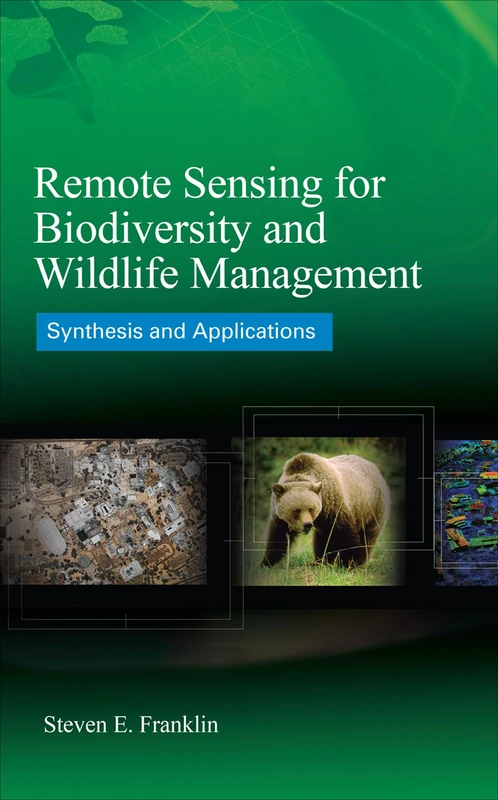
McGraw-Hill Remote Sensing for Biodiversity and Wildlife Management
McGraw-Hill Education
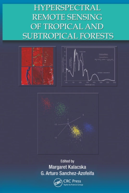
Hyperspectral Remote Sensing of Tropical and Sub-Tropical Forests
CRC Press
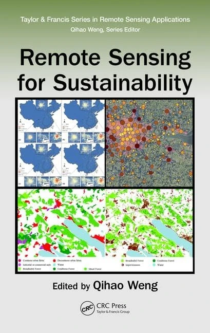
Remote Sensing for Sustainability (Remote Sensing Applications Series)
CRC Press
Environmental Remote Sensing and Systems Analysis
CRC Press
Environment and Earth Observation: Case Studies in India (Springer Remote Sensing/Photogrammetry)
Springer

Object and Pattern Recognition in Remote Sensing: Modelling and Monitoring Environmental and Anthropogenic Objects and Change Processes
An Introduction to Spatial Data Analysis: Remote Sensing and GIS with Open Source Software (Data in the Wild)
Pelagic Publishing Ltd
Introduction to Satellite Remote Sensing: Atmosphere, Ocean, Land and Cryosphere Applications
Elsevier

Remote Sensing and Digital Image Processing with R
CRC Press
Remote Sensing of Northwest Himalayan Ecosystems
Springer
Environmental Sensing: Analytical Techniques for Earth Observation
Springer

Multisensor Data Fusion and Machine Learning for Environmental Remote Sensing
CRC Press
Advanced Remote Sensing: Terrestrial Information Extraction and Applications
Academic Press

Remote Sensing Applications for the Urban Environment
CRC Press
Academic Press Advanced Remote Sensing - 2nd Edition Book
Academic Press

Multitemporal Remote Sensing: Methods and Applications: 20 (Remote Sensing and Digital Image Processing, 20)
Springer
Land Surface Remote Sensing in Agriculture and Forest
Elsevier

Manual of Remote Sensing, Remote Sensing for the Earth Sciences (Manual of Remote Sensing, 3rd Edition)
Wiley

Remote Sensing Handbook, Volume I: Sensors, Data Normalization, Harmonization, Cloud Computing, and Accuracies: 1
CRC Press
Understanding Forest Disturbance and Spatial Pattern: Remote Sensing and GIS Approaches
CRC Press
Remote Sensing: Models and Methods for Image Processing
Academic Press

Fuzzy Machine Learning Algorithms for Remote Sensing Image Classification
CRC Press
Remote Sensing in Ecology: Remote Sensing and Application of Vegetation, Soil and Water Indices
LAP Lambert Academic Publishing
Analysis of Multi-temporal Remote Sensing Images: Proceedings of the First International Conference on Multitemp 2001, University of Trento, Italy, 13-14 September 2001 (Series in Remote Sensing): 2
World Scientific Publishing Company