£51.99

This is the most expensive it has ever been. Walk away.

£52 today · previous high £52 · all-time low £51

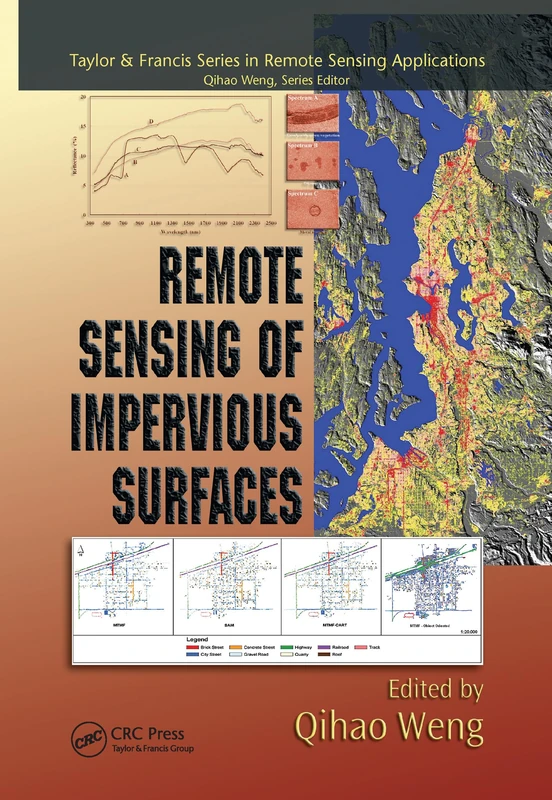
CRC Press Remote Sensing of Impervious Surfaces (Remote Sensing Applications Series)

Amazon

Price History & Forecast

Grey patches = out of stock. Cheaper = lower on the chart. Hover for exact prices.

Last 61 days · 61 data points (no recent data)

Historical
Generating forecast…
£51.99 £50.74 £51.01 £51.28 £51.56 £51.83 £52.10 24 July 2026 08 August 2026 23 August 2026 07 September 2026 22 September 2026
View at Amazon ↗

Price data last checked 30 day(s) ago - will refresh soon

NEW HERE?

Amazon shows you one price. We show you all of them.

Tosheroon watches Amazon prices so you don't have to. Every product on Amazon has a price history — we make it visible. Set the price you'd actually pay, and we'll email you the second it gets there. No app, no account, one email.

WHAT'S ON THIS PAGE

↑ Price chart
when this has been cheap or pricey
↑ Forecast
where the price is heading next
↓ Statistics
all-time high & low, recent range
↑ Price alert
name your number, we'll email you

Price Distribution

Price distribution over 61 days • 2 price levels

Days at Price
Current Price
18 days 43 days · current 0 11 22 32 43 £51 £52 Days at Price

Price Analysis

Most common price: £52 (43 days, 70.5%)

Price range: £51 - £52

Price levels: 2 different prices over 61 days

Description

Remote sensing of impervious surfaces has matured using advances in geospatial technology so recent that its applications have received only sporadic coverage in remote sensing literature. Remote Sensing of Impervious Surfaces is the first to focus entirely on this developing field. It provides detailed coverage of mapping, data extraction, and modeling techniques specific to analyzing impervious surfaces, such as roads and buildings. Written by renowned experts in the field, this book reviews the major approaches that apply to this emerging field as well as current challenges, developments, and trends. The authors introduce remote sensing digital image processing techniques for estimating and mapping impervious surfaces in urban and rural areas. Presenting the latest modeling tools and algorithms for data extraction and analysis, the book explains how to differentiate roads, roofs, and other manmade structures from remotely sensed images for individual analysis. The final chapters examine how to use impervious surface data for predicting the flow of storm- or floodwater and studying trends in population, land use, resource distribution, and other real-world applications in environmental, urban, and regional planning. Each chapter offers a consistent format including a concise review of basic concepts and methodologies, timely case studies, and guidance for solving problems and analyzing data using the techniques presented.

Product Specifications

Format
paperback
Domain
Amazon UK
Release Date
30 June 2020
Listed Since
29 May 2020

Barcode

No barcode data available

Similar Products You Might Like
Remote Sensing of Impervious Surfaces - Geospatial Technology Guide
97% match

Remote Sensing of Impervious Surfaces - Geospatial Technology Guide

CRC Press
£54.68 17 Sep 2026
Multiscale Hydrologic Remote Sensing: Perspectives and Applications
97% match

Multiscale Hydrologic Remote Sensing: Perspectives and Applications

CRC Press

£205.79 11 Aug 2026
Urban High-Resolution Remote Sensing: Algorithms and Modeling
96% match

Urban High-Resolution Remote Sensing: Algorithms and Modeling

CRC Press

£66.80 11 Sep 2026
Environmental Remote Sensing and Systems Analysis
96% match

Environmental Remote Sensing and Systems Analysis

CRC Press

£108.68 24 Sep 2026
Remote Sensing for Sustainability (Remote Sensing Applications Series)
96% match

Remote Sensing for Sustainability (Remote Sensing Applications Series)

CRC Press

£89.53 11 Sep 2026
Geospatial Technologies for Land and Water Resources Management: 103 (Water Science and Technology Library, 103)
96% match

Geospatial Technologies for Land and Water Resources Management: 103 (Water Science and Technology Library, 103)

Springer

£101.40 02 Oct 2026
Remote Sensing Applications for the Urban Environment
96% match

Remote Sensing Applications for the Urban Environment

CRC Press

£59.00 11 Sep 2026
Object and Pattern Recognition in Remote Sensing: Modelling and Monitoring Environmental and Anthropogenic Objects and Change Processes
96% match

Object and Pattern Recognition in Remote Sensing: Modelling and Monitoring Environmental and Anthropogenic Objects and Change Processes

£65.29 11 Sep 2026
Point Cloud Data Fusion for Enhancing 2D Urban Flood Modelling (IHE Delft PhD Thesis Series)
96% match

Point Cloud Data Fusion for Enhancing 2D Urban Flood Modelling (IHE Delft PhD Thesis Series)

CRC Press

£98.90 17 Sep 2026
Point Cloud Data Fusion for Enhancing 2D Urban Flood Modelling (IHE Delft PhD Thesis Series)
96% match

Point Cloud Data Fusion for Enhancing 2D Urban Flood Modelling (IHE Delft PhD Thesis Series)

CRC Press

£183.52 11 Sep 2026
Multitemporal Remote Sensing: Methods and Applications: 20 (Remote Sensing and Digital Image Processing, 20)
96% match

Multitemporal Remote Sensing: Methods and Applications: 20 (Remote Sensing and Digital Image Processing, 20)

Springer
£201.71 30 Sep 2026
Remote Sensing and Digital Image Processing with R
96% match

Remote Sensing and Digital Image Processing with R

CRC Press
£127.61 02 Sep 2026
Remote Sensing in Hydrology and Water Management
96% match

Remote Sensing in Hydrology and Water Management

Springer

£93.29 19 Sep 2026
Global Urban Monitoring Assessment Earth Observation - Remote Sensing
96% match

Global Urban Monitoring Assessment Earth Observation - Remote Sensing

CRC Press

£136.55 13 Oct 2026
Remote Sensing of Impervious Surfaces in Tropical and Subtropical Areas: 11 (Remote Sensing Applications Series)
96% match

Remote Sensing of Impervious Surfaces in Tropical and Subtropical Areas: 11 (Remote Sensing Applications Series)

CRC Press
£110.00 17 Sep 2026
Geospatial Technology for Water Resource Applications
96% match

Geospatial Technology for Water Resource Applications

CRC Press

£50.99 22 Sep 2026
Remote Sensing Applications for the Urban Environment
96% match

Remote Sensing Applications for the Urban Environment

CRC Press

£55.99 02 Oct 2026
High Spatial Resolution Remote Sensing: Data, Analysis, and Applications (Imaging Science)
96% match

High Spatial Resolution Remote Sensing: Data, Analysis, and Applications (Imaging Science)

CRC Press

£97.00 25 Aug 2026
Land Surface Remote Sensing in Continental Hydrology (Remote Sensing Observations of Continential Surfaces Set)
96% match

Land Surface Remote Sensing in Continental Hydrology (Remote Sensing Observations of Continential Surfaces Set)

Elsevier
£95.24 04 Oct 2026
Remote Sensing and Digital Image Processing with R - Textbook and Lab Manual
96% match

Remote Sensing and Digital Image Processing with R - Textbook and Lab Manual

CRC Press

£113.63 12 Aug 2026
Earth Observation for Flood Applications: Progress and Perspectives: Volume n/a (Earth Observation, Volume n/a)
96% match

Earth Observation for Flood Applications: Progress and Perspectives: Volume n/a (Earth Observation, Volume n/a)

Elsevier
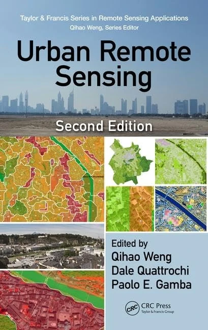
£137.99 30 Sep 2026
Urban Remote Sensing - Remote Sensing Applications Series
96% match

Urban Remote Sensing - Remote Sensing Applications Series

CRC Press
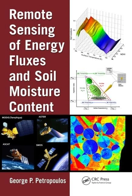
£92.55 01 Oct 2026
Remote Sensing Energy Fluxes Soil Moisture - CRC Press
96% match

Remote Sensing Energy Fluxes Soil Moisture - CRC Press

CRC Press
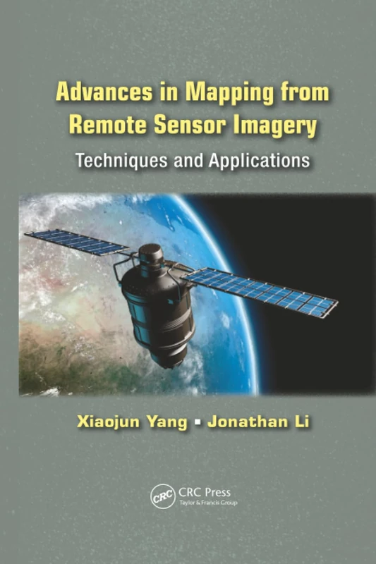
£107.86 10 Oct 2026
Advances in Mapping from Remote Sensor Imagery: Techniques and Applications
96% match

Advances in Mapping from Remote Sensor Imagery: Techniques and Applications

CRC Press

£78.70 12 Sep 2026