We can't find the internet
Attempting to reconnect
Something went wrong
Hang in there while we get back on track

£176.16
CRC Press Point Cloud Data Fusion for Enhancing 2D Urban Flood Modelling (IHE Delft PhD Thesis Series)
Price data last checked 22 day(s) ago - will refresh soon
We'll watch every seller, every day. One email when your price arrives.
New to our records — first sighting 22 days ago. We'll learn its rhythm.
22 days of data · current price £176
NEW HERE?
Amazon shows you one price. We show you all of them.
Tosheroon watches Amazon prices so you don't have to. Every product on Amazon has a price history — we make it visible. Set the price you'd actually pay, and we'll email you the second it gets there. No app, no account, one email.
WHAT'S ON THIS PAGE
when this has been cheap or pricey
where the price is heading next
all-time high & low, recent range
name your number, we'll email you
Price History & Forecast
Grey patches = out of stock. Cheaper = lower on the chart. Hover for exact prices.
Last 1 days · 1 data points (no recent data)
Price Distribution
Price distribution over 1 days • 1 price levels
Price Analysis
Most common price: £176 (1 days, 100.0%)
Price range: £176 - £176
Price levels: 1 different prices over 1 days
Description
Product Specifications
- Brand
- CRC Press
- Format
- hardcover
- ASIN
- 1138373621
- Domain
- Amazon UK
- Release Date
- 27 September 2018
- Listed Since
- 12 January 2019
Barcode
No barcode data available
Similar Products You Might Like

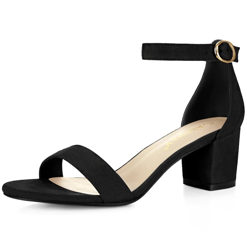
Allegra K Women's Open Toe Block Heel Ankle Strap Sandals Light Pink 7 UK/Label Size 9 US
Allegra K
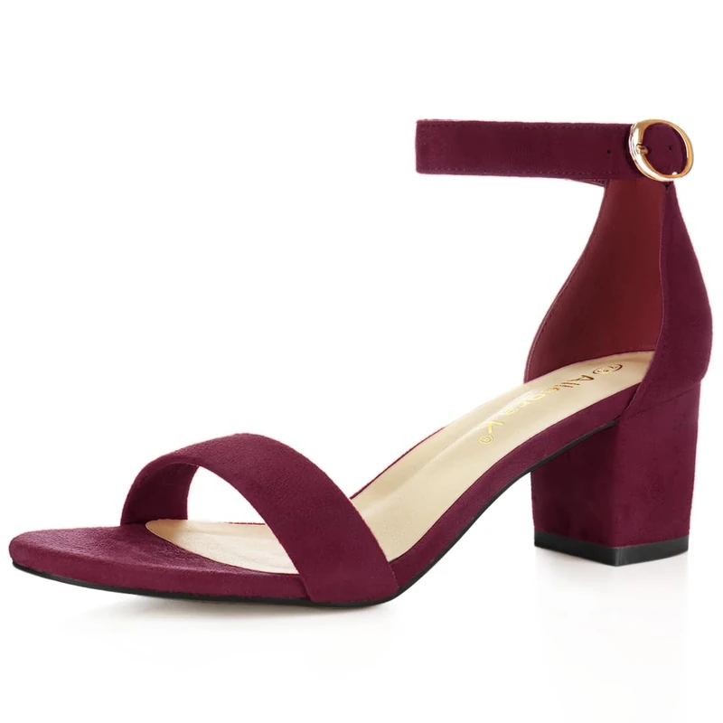
Allegra K Women's Open Toe Block Heel Ankle Strap Sandals Burgundy 8 UK/Label Size 10 US
Allegra K
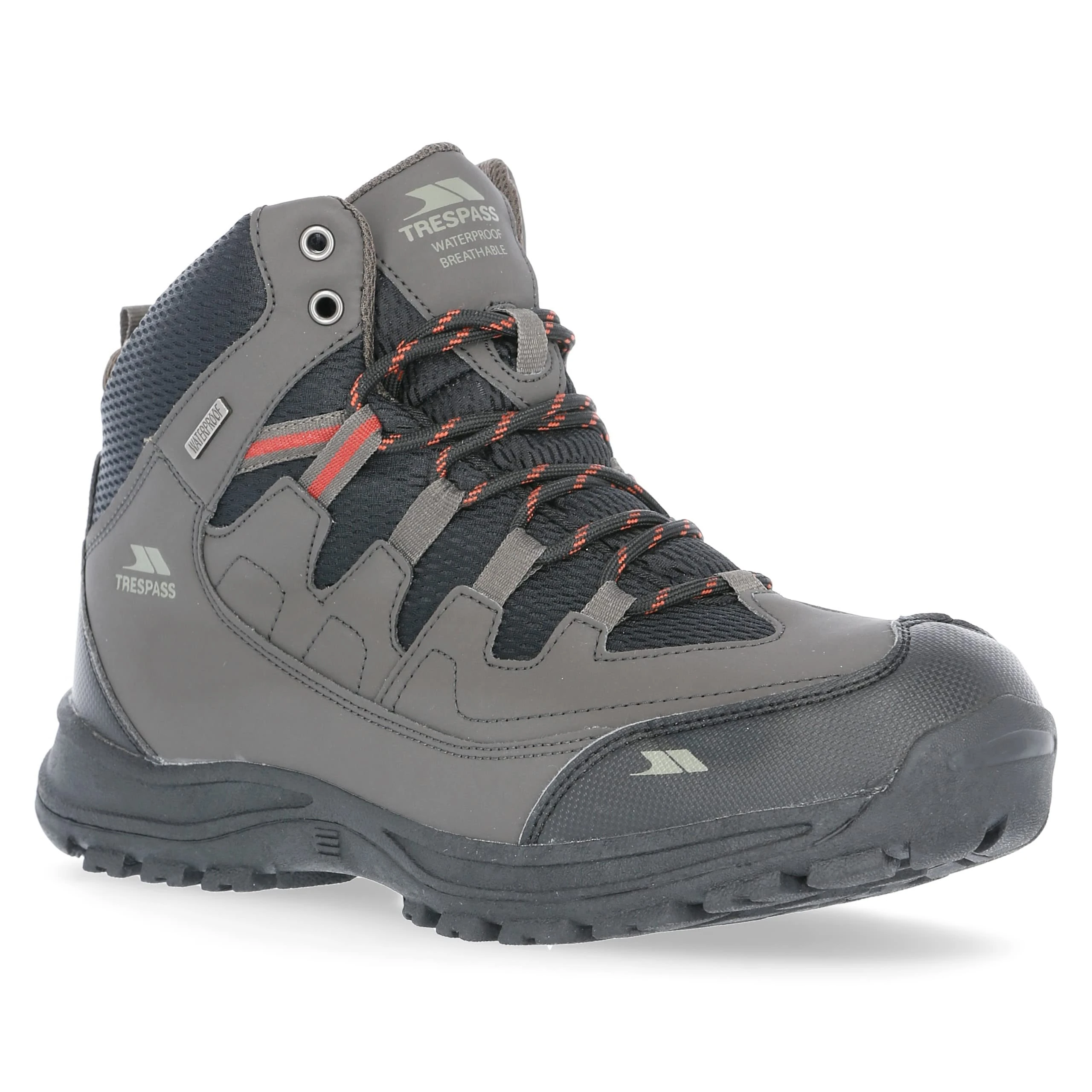
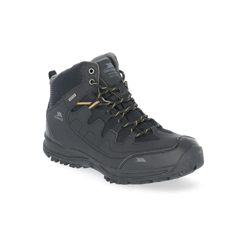
Trespass Mens Boots Finley - Mid Cut, Waterproof, Breathable Membrane, Ankle Support, Cushioned Collar & Tongue, Durable Toe & Heel Guard, PU/Textile Upper, TPR Outsole
Trespass

Allegra K Women's Open Toe Block Heel Ankle Strap Sandals Light Pink 5 UK/Label Size 7 US
Allegra K
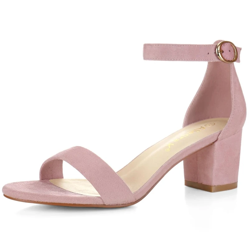
Allegra K Women's Open Toe Block Heel Ankle Strap Sandals Light Pink 6.5 UK/Label Size 8.5 US
Allegra K

Allegra K Women's Open Toe Block Heel Ankle Strap Sandals Light Pink 5.5 UK/Label Size 7.5 US
Allegra K
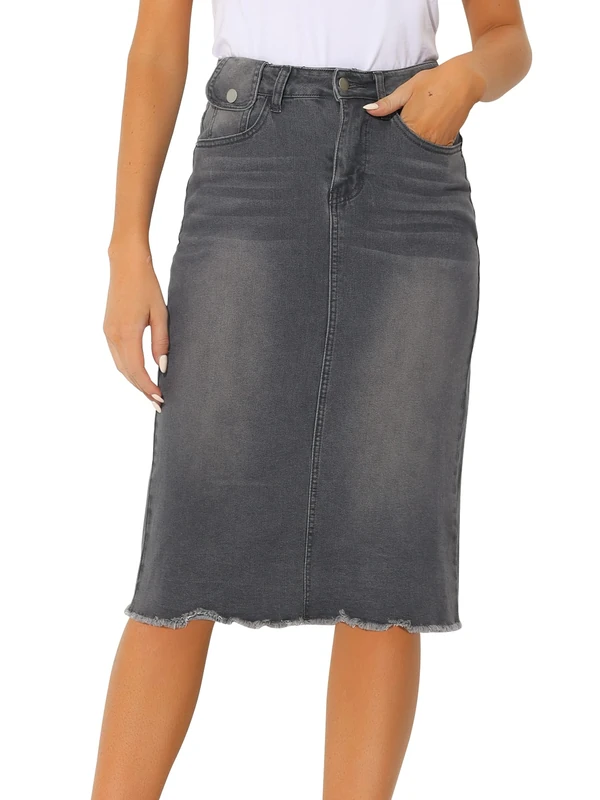
Allegra K Women's Casual Jean Skirt High Waist Back Slit Stretch Denim Skirts, Grey, XL
Allegra K

Allegra K Women's Open Toe Block Heel Ankle Strap Sandals Burgundy 7 UK/Label Size 9 US
Allegra K

Allegra K Women's Open Toe Block Heel Ankle Strap Sandals Light Pink 4 UK/Label Size 6 US
Allegra K

Allegra K Women's Open Toe Block Heel Ankle Strap Sandals Burgundy 5.5 UK/Label Size 7.5 US
Allegra K
Allegra K Women's Open Toe Block Heel Ankle Strap Sandals Black 5.5 UK/Label Size 7.5 US
Allegra K
Price unavailable
Trespass Mens Boots Finley - Mid Cut, Waterproof, Breathable Membrane, Ankle Support, Cushioned Collar & Tongue, Durable Toe & Heel Guard, PU/Textile Upper, TPR Outsole
Trespass

Trespass Mens Boots Finley - Mid Cut, Waterproof, Breathable Membrane, Ankle Support, Cushioned Collar & Tongue, Durable Toe & Heel Guard, PU/Textile Upper, TPR Outsole
Trespass

Trespass Mens Boots Finley - Mid Cut, Waterproof, Breathable Membrane, Ankle Support, Cushioned Collar & Tongue, Durable Toe & Heel Guard, PU/Textile Upper, TPR Outsole
Trespass

Allegra K Women's Open Toe Block Heel Ankle Strap Sandals Light Pink 8 UK/Label Size 10 US
Allegra K
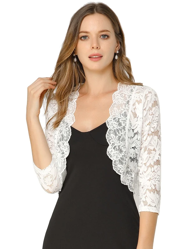
Allegra K Women's Elegant 3/4 Sleeve Sheer Floral Lace Shrug Top - White - Large
Allegra K
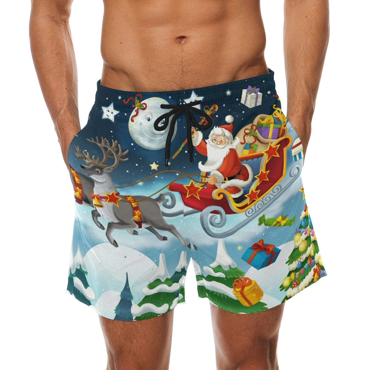
COOSUN Men's Santa Claus Christmas Beach Board Shorts - M
coosun

Trespass Mens Boots Finley - Mid Cut, Waterproof, Breathable Membrane, Ankle Support, Cushioned Collar & Tongue, Durable Toe & Heel Guard, PU/Textile Upper, TPR Outsole
Trespass

Trespass Mens Boots Finley - Mid Cut, Waterproof, Breathable Membrane, Ankle Support, Cushioned Collar & Tongue, Durable Toe & Heel Guard, PU/Textile Upper, TPR Outsole
Trespass

Allegra K Women's Open Toe Block Heel Ankle Strap Sandals Burgundy 4 UK/Label Size 6 US
Allegra K

Trespass Finley Mens Waterproof Boots Breathable Walking Hiking Shoes
Trespass
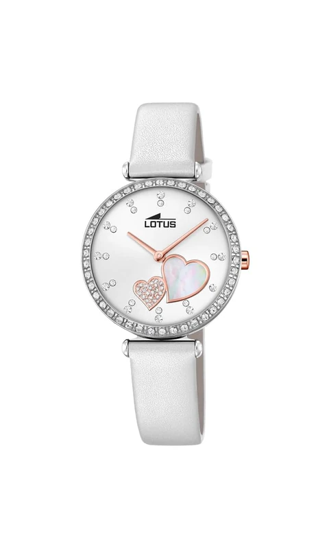
Lotus Bliss 18618/1 Wristwatch for women
Lotus
Trespass Mens Boots Finley - Mid Cut, Waterproof, Breathable Membrane, Ankle Support, Cushioned Collar & Tongue, Durable Toe & Heel Guard, PU/Textile Upper, TPR Outsole
Trespass
Price unavailable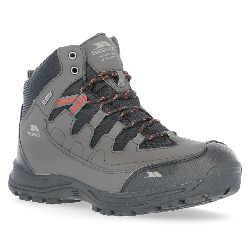
Trespass Mens Boots Finley - Mid Cut, Waterproof, Breathable Membrane, Ankle Support, Cushioned Collar & Tongue, Durable Toe & Heel Guard, PU/Textile Upper, TPR Outsole
Trespass