£110.00

It has never been this cheap. We have no record of a lower price.

£110 today · cheaper than every other day in the last 3 months

CRC Press Remote Sensing of Impervious Surfaces in Tropical and Subtropical Areas: 11 (Remote Sensing Applications Series)

View at Amazon

Price History & Forecast

Grey patches = out of stock. Cheaper = lower on the chart. Hover for exact prices.

Last 55 days · 55 data points (no recent data)

Historical
Generating forecast…
£110.00 £104.50 £106.70 £108.90 £111.10 £113.30 £115.50 25 July 2026 07 August 2026 21 August 2026 03 September 2026 17 September 2026
View at Amazon ↗

59 black & white illustrations, 23 colou

Price data last checked 36 day(s) ago - refreshing...

NEW HERE?

Amazon shows you one price. We show you all of them.

Tosheroon watches Amazon prices so you don't have to. Every product on Amazon has a price history — we make it visible. Set the price you'd actually pay, and we'll email you the second it gets there. No app, no account, one email.

WHAT'S ON THIS PAGE

↑ Price chart
when this has been cheap or pricey
↑ Forecast
where the price is heading next
↓ Statistics
all-time high & low, recent range
↑ Price alert
name your number, we'll email you

Price Distribution

Price distribution over 55 days • 1 price levels

Days at Price
55 days 0 14 28 41 55 £110 Days at Price

Price Analysis

Most common price: £110 (55 days, 100.0%)

Price range: £110 - £110

Price levels: 1 different prices over 55 days

Description

Remote Sensing of Impervious Surfaces in Tropical and Subtropical Areas offers a complete and thorough system for using optical and synthetic aperture radar (SAR) remote sensing data for improving impervious surface estimation (ISE). Highlighting tropical and subtropical areas where there is significant cloud occurrence and varying phenology, the book addresses the challenges impacting impervious surfaces in tropical and subtropical zones. It examines the potential for estimating urban impervious surfaces in a rainy and cloudy environment, considers the difficulties encountered when using optical remote sensing in this type of climate, and assesses existing methods employing remote sensing data for accurate ISE in tropical and subtropical regions. Using the results of comparative studies conducted during the four seasons and in six different cities (Guangzhou, Shenzhen, Hong Kong, Mumbai, Sao Paulo, and Cape Town), the authors develop a framework for ISE using optical and SAR image data. They address the advantages and disadvantages of optical and SAR data, consider fusion strategies for combining optical and SAR data, and examine different feature extractions for optical and SAR data. They also detail the limitations of the research, suggest possible topics for future analysis, and cover previous findings on the synergistic use of optical and SAR data. Concentrates on the effect a tropical and subtropical urban climate can have on impervious surface estimation (ISE) Reviews literature on the significance of ISE and the phonological and climatic characteristics of tropical and subtropical regions Describes datasets including satellite data, digital orthophoto data, in situ data, and more Remote Sensing of Impervious Surfaces in Tropical and Subtropical Areas investigates the state of the art in creating new algorithms for digital images processing and remotely sensed images classification, as well as in developing the meteorological modeling of urban heat islands, and the hydrological modeling of surface run-off and urban floods.

Product Specifications

Format
hardcover
Domain
Amazon UK
Release Date
01 September 2015
Listed Since
06 August 2014

Barcode

No barcode data available

Similar Products You Might Like
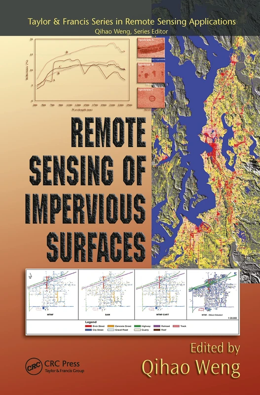
Remote Sensing of Impervious Surfaces - Geospatial Technology Guide
97% match

Remote Sensing of Impervious Surfaces - Geospatial Technology Guide

CRC Press

£54.68 17 Sep 2026
Techniques and Methods in Urban Remote Sensing
97% match

Techniques and Methods in Urban Remote Sensing

Wiley

£94.47 25 Sep 2026
Remote Sensing Applications for the Urban Environment
96% match

Remote Sensing Applications for the Urban Environment

CRC Press
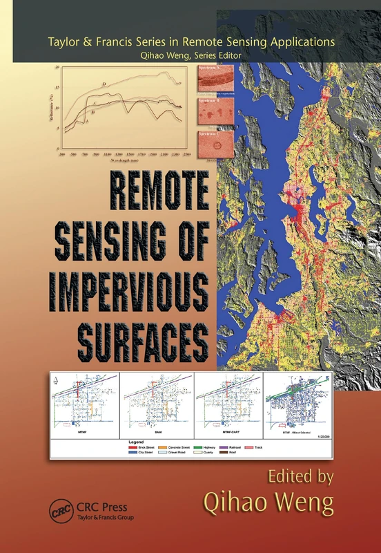
£59.00 11 Sep 2026
Remote Sensing of Impervious Surfaces (Remote Sensing Applications Series)
96% match

Remote Sensing of Impervious Surfaces (Remote Sensing Applications Series)

CRC Press

£51.99 22 Sep 2026
Urban High-Resolution Remote Sensing: Algorithms and Modeling
96% match

Urban High-Resolution Remote Sensing: Algorithms and Modeling

CRC Press

£66.80 11 Sep 2026
Multitemporal Remote Sensing: Methods and Applications: 20 (Remote Sensing and Digital Image Processing, 20)
96% match

Multitemporal Remote Sensing: Methods and Applications: 20 (Remote Sensing and Digital Image Processing, 20)

Springer
£201.71 30 Sep 2026
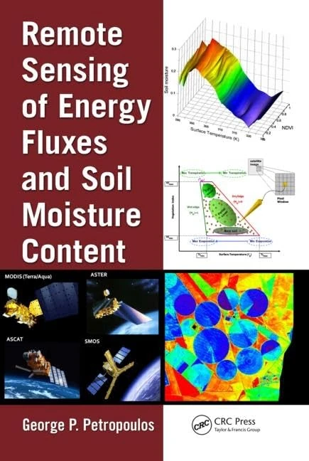
Remote Sensing Energy Fluxes Soil Moisture - CRC Press
96% match

Remote Sensing Energy Fluxes Soil Moisture - CRC Press

CRC Press

£107.86 10 Oct 2026
Blue-Green Cities: Integrating urban flood risk management with green infrastructure

95% match

Blue-Green Cities: Integrating urban flood risk management with green infrastructure

£40.46 24 Sep 2026
Spatial Modeling Principles in Earth Sciences
95% match

Spatial Modeling Principles in Earth Sciences

Springer

£109.99 17 Sep 2026
Extreme Hydroclimatic Events Remote Sensing - Multivariate Hazards
95% match

Extreme Hydroclimatic Events Remote Sensing - Multivariate Hazards

Elsevier

£134.99 08 Oct 2026
Multiscale Hydrologic Remote Sensing: Perspectives and Applications
95% match

Multiscale Hydrologic Remote Sensing: Perspectives and Applications

CRC Press
£205.79 11 Aug 2026
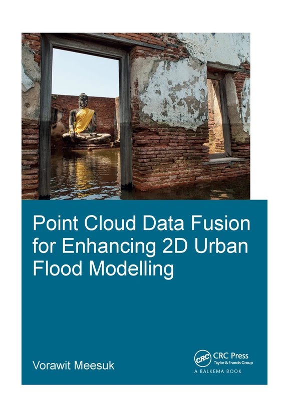
Point Cloud Data Fusion for Enhancing 2D Urban Flood Modelling (IHE Delft PhD Thesis Series)
95% match

Point Cloud Data Fusion for Enhancing 2D Urban Flood Modelling (IHE Delft PhD Thesis Series)

CRC Press

£98.90 17 Sep 2026
Point Cloud Data Fusion for Enhancing 2D Urban Flood Modelling (IHE Delft PhD Thesis Series)
95% match

Point Cloud Data Fusion for Enhancing 2D Urban Flood Modelling (IHE Delft PhD Thesis Series)

CRC Press
£183.52 11 Sep 2026
Mediterranean Land-surface Processes Assessed from Space (Regional Climate Studies)
95% match

Mediterranean Land-surface Processes Assessed from Space (Regional Climate Studies)

Springer

£148.21 21 Aug 2026
Planning and Evaluation of Irrigation Projects: Methods and Implementation
95% match

Planning and Evaluation of Irrigation Projects: Methods and Implementation

Elsevier

£102.32 22 Sep 2026
Surface Models for Geosciences (Lecture Notes in Geoinformation and Cartography)
95% match

Surface Models for Geosciences (Lecture Notes in Geoinformation and Cartography)

Springer
£75.68 24 Sep 2026
Mediterranean Land-surface Processes Assessed from Space (Regional Climate Studies)
95% match

Mediterranean Land-surface Processes Assessed from Space (Regional Climate Studies)

Springer

£107.34 23 Sep 2026
Geospatial Technologies for Land and Water Resources Management: 103 (Water Science and Technology Library, 103)
95% match

Geospatial Technologies for Land and Water Resources Management: 103 (Water Science and Technology Library, 103)

Springer

£101.40 02 Oct 2026
Remote Sensing Applications for the Urban Environment
95% match

Remote Sensing Applications for the Urban Environment

CRC Press

£55.99 02 Oct 2026
Planning Support Science for Smarter Urban Futures (Lecture Notes in Geoinformation and Cartography)
95% match

Planning Support Science for Smarter Urban Futures (Lecture Notes in Geoinformation and Cartography)

Springer

£139.10 26 Aug 2026
Measuring Precipitation from Space: EURAINSAT and the Future: 28 (Advances in Global Change Research, 28)
95% match

Measuring Precipitation from Space: EURAINSAT and the Future: 28 (Advances in Global Change Research, 28)

Springer

£203.36 24 Aug 2026
Biological and Environmental Hazards, Risks, and Disasters - Second Edition
95% match

Biological and Environmental Hazards, Risks, and Disasters - Second Edition

Elsevier

£114.95 13 Oct 2026
Storm Water Management: Examples from Czech Republic, Slovakia and Poland: 0 (Springer Hydrogeology)
95% match

Storm Water Management: Examples from Czech Republic, Slovakia and Poland: 0 (Springer Hydrogeology)

Springer
£73.70 23 Sep 2026
Recent Advances in Remote Sensing and Geoinformation Processing for Land Degradation Assessment (International Society for Photogrammetry and Remote Sensing (Isprs))
95% match

Recent Advances in Remote Sensing and Geoinformation Processing for Land Degradation Assessment (International Society for Photogrammetry and Remote Sensing (Isprs))

CRC Press

£173.65 24 Sep 2026