We can't find the internet
Attempting to reconnect
Something went wrong
Hang in there while we get back on track
£94.73
LAP Lambert Academic Publishing Remote Sensing for Civil Engineers: Principles, Data, and Intelligent Applications: From Multi-Spectral Bands to Digital Infrastructure Twins.
Price data last checked 8 day(s) ago - will refresh soon
We'll watch every seller, every day. One email when your price arrives.
It has never been this cheap. We have no record of a lower price.
£95 today · cheaper than every other day in the last 3 months
NEW HERE?
Amazon shows you one price. We show you all of them.
Tosheroon watches Amazon prices so you don't have to. Every product on Amazon has a price history — we make it visible. Set the price you'd actually pay, and we'll email you the second it gets there. No app, no account, one email.
WHAT'S ON THIS PAGE
when this has been cheap or pricey
where the price is heading next
all-time high & low, recent range
name your number, we'll email you
Price History & Forecast
Grey patches = out of stock. Cheaper = lower on the chart. Hover for exact prices.
Last 83 days · 83 data points (no recent data)
Price Distribution
Price distribution over 83 days • 1 price levels
Price Analysis
Most common price: £95 (83 days, 100.0%)
Price range: £95 - £95
Price levels: 1 different prices over 83 days
Product Specifications
- Format
- paperback
- ASIN
- 6209576664
- Domain
- Amazon UK
- Release Date
- 03 February 2026
- Listed Since
- 26 February 2026
Barcode
No barcode data available
Similar Products You Might Like
Remote Sensing and GIS: Space Technology and Machine Learning for Agricultural and Landscape Analytics
John Wiley & Sons Inc
Re-envisioning Advances in Remote Sensing: Urbanization, Disasters and Planning
CRC Press
REMOTE SENSING: Multispectral & Hyperspectral Applications
LAP Lambert Academic Publishing
Remote Sensing for Earth and Planetary Science
Wiley
Geographic Information System and Remote Sensing Techniques on: Urban Sprawl, Landuse Change and Environmental Impact Assessment
LAP Lambert Academic Publishing
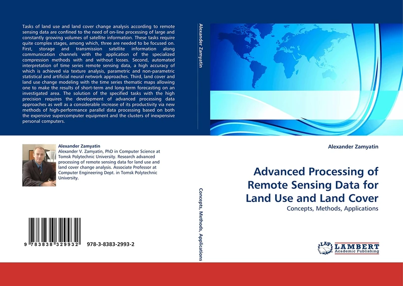
Advanced Processing of Remote Sensing Data for Land Use and Land Cover: Concepts, Methods, Applications
LAP Lambert Academic Publishing
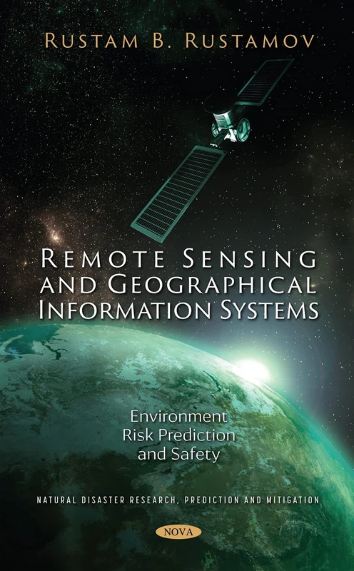
Remote Sensing and Geographical Information Systems: Environment Risk Prediction and Safety (Natural Disaster Research, Prediction and Mitigation)
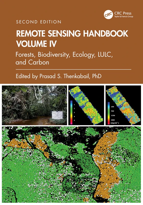
Remote Sensing Handbook, Volume IV: Forests, Biodiversity, Ecology, LULC, and Carbon: 4
CRC Press
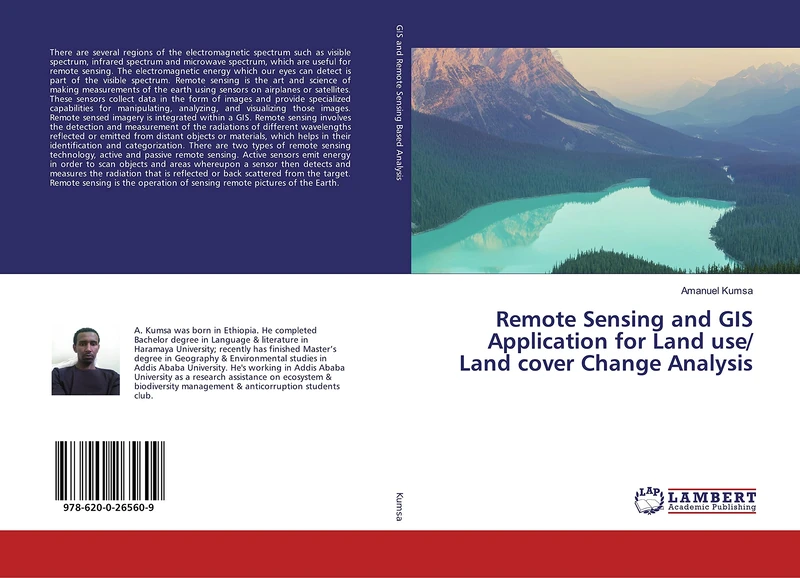
Remote Sensing and GIS Application for Land use/ Land cover Change Analysis
LAP Lambert Academic Publishing
Remote Sensing and GIS: Innovations and Applications (Advances in Geographic Information Science)
Springer
Introduction to Remote Sensing
CRC Press
The information systems integration plan: for satellite remote sensing subsystems
VDM Verlag
Machine Intelligence, Big Data Analytics, and IoT in Image Processing: Practical Applications
John Wiley & Sons Inc
Remote Sensing Techniques for Blue Carbon and Coastal Ecosystem Monitoring
Elsevier
Remote Sensing for Area Reduction of Minefield Suspect Areas
VDM Verlag
Data Science with Semantic Technologies: Theory, Practice and Application (Advances in Intelligent and Scientific Computing)
John Wiley & Sons Inc
Wiley Computational Imaging for Scene Understanding Book
Wiley

Applications of Remote Sensing
IntechOpen
Supervised Learning in Remote Sensing and Geospatial Science
Elsevier
Multitemporal Earth Observation Image Analysis: Remote Sensing Image Sequences (ISTE Invoiced)
Wiley
Quantitative Remote Sensing: Fundamentals and Environmental Applications
CRC Press
CRC Press Advanced Sensing in Image Processing and IoT Book
CRC Press
Inversion and Data Assimilation in Remote Sensing: Estimation of Geophysical Parameters (ISTE Consignment)
Wiley
Remote Sensing and GIS for Sustainable Forest Management: Concept, Principles, Methods, Case Studies
VDM Verlag