We can't find the internet
Attempting to reconnect
Something went wrong
Hang in there while we get back on track
£172.99
Remote Sensing and Geographical Information Systems: Environment Risk Prediction and Safety (Natural Disaster Research, Prediction and Mitigation)
Price data last checked 16 day(s) ago - will refresh soon
We'll watch every seller, every day. One email when your price arrives.
It has never been this cheap. We have no record of a lower price.
£173 today · cheaper than every other day in the last 3 months
NEW HERE?
Amazon shows you one price. We show you all of them.
Tosheroon watches Amazon prices so you don't have to. Every product on Amazon has a price history — we make it visible. Set the price you'd actually pay, and we'll email you the second it gets there. No app, no account, one email.
WHAT'S ON THIS PAGE
when this has been cheap or pricey
where the price is heading next
all-time high & low, recent range
name your number, we'll email you
Price History & Forecast
Grey patches = out of stock. Cheaper = lower on the chart. Hover for exact prices.
Last 75 days · 75 data points (no recent data)
Price Distribution
Price distribution over 75 days • 1 price levels
Price Analysis
Most common price: £173 (75 days, 100.0%)
Price range: £173 - £173
Price levels: 1 different prices over 75 days
Product Specifications
- Format
- hardcover
- ASIN
- 1536197262
- Domain
- Amazon UK
- Release Date
- 10 August 2021
- Listed Since
- 18 June 2021
Barcode
No barcode data available
Similar Products You Might Like
Re-envisioning Advances in Remote Sensing: Urbanization, Disasters and Planning
CRC Press
Remote Sensing and GIS: Space Technology and Machine Learning for Agricultural and Landscape Analytics
John Wiley & Sons Inc
Remote Sensing for Earth and Planetary Science
Wiley
Disaster Social Work from Crisis Response to Building Resilience (Natural Disaster Research, Prediction and Mitigation)

Text Book of Remote Sensing and Geographical Information Systems
MTG
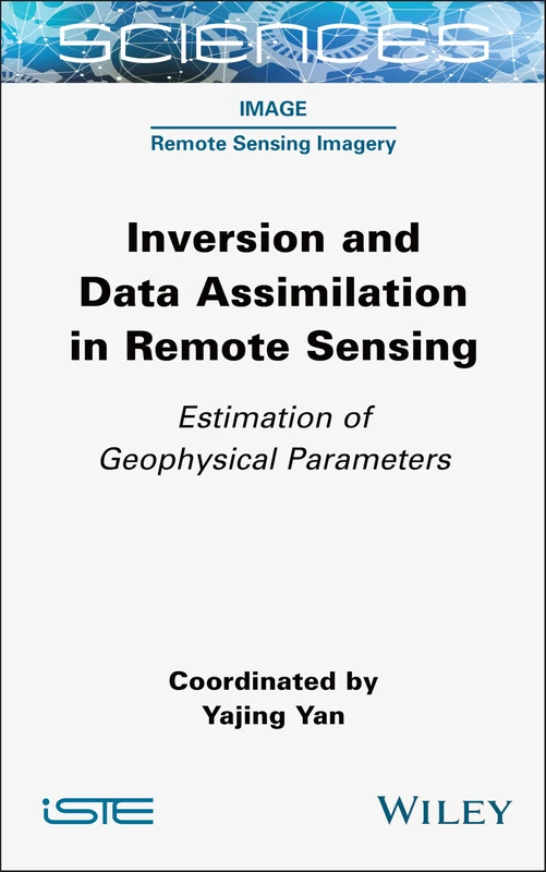
Inversion and Data Assimilation in Remote Sensing: Estimation of Geophysical Parameters (ISTE Consignment)
Wiley
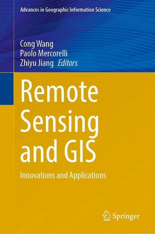
Remote Sensing and GIS: Innovations and Applications (Advances in Geographic Information Science)
Springer
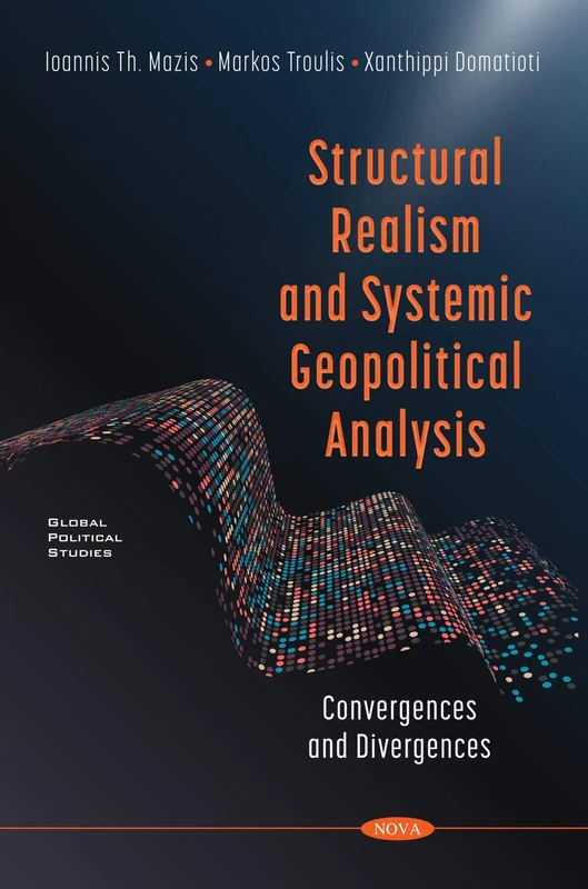
Structural Realism and Systemic Geopolitical Analysis: Convergences and Divergences (Global Political Studies)
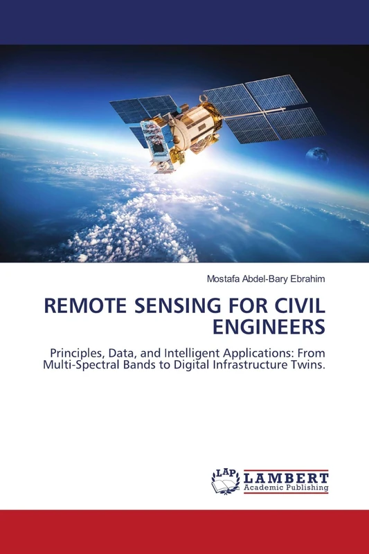
Remote Sensing for Civil Engineers: Principles, Data, and Intelligent Applications: From Multi-Spectral Bands to Digital Infrastructure Twins.
LAP Lambert Academic Publishing
Sustainable Development Using Geospatial Techniques - Wiley
John Wiley & Sons Inc
Multitemporal Earth Observation Image Analysis: Remote Sensing Image Sequences (ISTE Invoiced)
Wiley
Introduction to Remote Sensing
CRC Press
Remote Sensing and Geographic Information Systems for Policy Decision Support (Advances in Geographical and Environmental Sciences)
Springer
Cloud-Enabled Remote Sensing for Disaster Monitoring System
John Wiley & Sons Inc
Price unavailable
Multidisciplinary Science and Advanced Technologies (Technology in a Globalizing World)
Supervised Learning in Remote Sensing and Geospatial Science
Elsevier
Intelligibility Research and Communication Issues in Emergency Situations (Media and Communications - Technologies, Policies and Challenges)

Industry 4.0 and Intelligent Business Analytics for Healthcare (Advances in Distributed Computing and Intelligent Data Analytics)
Remote Sensing for Agriculture, Ecosystems, and Hydrology VIII (Proceedings of SPIE)
Urban & Built Environments: Sustainable Development, Health Implications & Challenges (Urban Development and Infrastructure)
5G Technologies for Health Information System: A Machine Learning and Deep Learning Approach (Machine Learning in Biomedical Science and Healthcare Informatics)
John Wiley & Sons Inc
Ecosystems Dynamics, Agricultural Remote Sensing and Modeling, and Site-specific Agriculture (Proceedings of SPIE)
Geospatial Modeling for Environmental Management: Case Studies from South Asia
CRC Press