£76.35

About as cheap as it gets — within 5% of the all-time low it hit 1 month ago.

£76 today · all-time low £75 (Aug 2026) · usually the usual

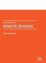
CRC Press Introduction to Remote Sensing

View at Amazon

Price History & Forecast

Grey patches = out of stock. Cheaper = lower on the chart. Hover for exact prices.

Last 47 days · 47 data points (no recent data)

Historical
Generating forecast…
£76.60 £74.82 £75.21 £75.60 £75.98 £76.37 £76.76 25 July 2026 05 August 2026 17 August 2026 28 August 2026 09 September 2026
View at Amazon ↗

Price data last checked 44 day(s) ago - refreshing...

NEW HERE?

Amazon shows you one price. We show you all of them.

Tosheroon watches Amazon prices so you don't have to. Every product on Amazon has a price history — we make it visible. Set the price you'd actually pay, and we'll email you the second it gets there. No app, no account, one email.

WHAT'S ON THIS PAGE

↑ Price chart
when this has been cheap or pricey
↑ Forecast
where the price is heading next
↓ Statistics
all-time high & low, recent range
↑ Price alert
name your number, we'll email you

Price Distribution

Price distribution over 47 days • 2 price levels

Days at Price
Current Price
13 days 34 days · current 0 9 17 26 34 £75 £76 Days at Price

Price Analysis

Most common price: £76 (34 days, 72.3%)

Price range: £75 - £76

Price levels: 2 different prices over 47 days

Description

Remote sensing is the art and science of recording, measuring, and analyzing information about a phenomenon from a distance. Humans with the aid of their eyes, noses, and ears are constantly seeing, smelling, and hearing things from a distance as they move through an environment. Thus, humans are naturally designed to be remote sensors. In order to study large areas of the Earth’s surface geographers use devices known as remote sensors. These sensors are mounted on platforms such as helicopters, planes, and satellites that make it possible for the sensors to observe the Earth from above. Aircraft and satellites are the common platforms for remote sensing of the earth and its natural resources. Aerial photography in the visible portion of the electromagnetic wavelength was the original form of remote sensing but technological developments has enabled the acquisition of information at other wavelengths including near infrared, thermal infrared and microwave. Collection of information over a large numbers of wavelength bands is referred to as multispectral or hyper-spectral data. The development and deployment of manned and unmanned satellites has enhanced the collection of remotely sensed data and offers an inexpensive way to obtain information over large areas. The capacity of remote sensing to identify and monitor land surfaces and environmental conditions has expanded greatly over the last few years and remotely sensed data will be an essential tool in natural resource management. The era of satellite remote sensing was open in the 1960s when cameras and electronic sensors were mounted on spacecraft. Nowadays there is a big assortment of satellite systems actively recording information about the Earth. A wide variety of imagery is available from satellites. Both active and passive sensors, operating from the microwave to the ultraviolet regions of the electromagnetic spectrum collect a large amount of information about the earth’s surface every day. Each of the systems vary in terms of their spatial, spectral, radiometic and temporal resolution. Remote sensing makes use of visible, near infrared and short-wave infrared sensors to form images of the earth’s surface by detecting the solar radiation reflected from targets on the ground. Different materials reflect and absorb differently at different wavelengths. Thus, the targets can be differentiated by their spectral reflectance signatures in the remotely sensed images. Remote sensing imagery has many applications in cartography, land use and cover, agriculture, soils mapping, forestry, city planning, grassland management, archaeology, military observations, meteorology, and geomorphology, among other uses. In order to use such imagery, one must have considerable knowledge about the Earth’s surface and a strong background in remote sensing data acquisition and analysis techniques. Since the Earth’s surface consists of a mosaic of environmental conditions, geographers through their unique training in both the sciences and social sciences are well qualified to undertake various remote sensing applications.

Product Specifications

Format
hardcover
Domain
Amazon UK
Release Date
30 November 2016
Listed Since
01 December 2017

Barcode

No barcode data available

Similar Products You Might Like

Remote Sensing for Natural Ecosystems, Agriculture, and Hydrology
98% match

Remote Sensing for Natural Ecosystems, Agriculture, and Hydrology

£132.00 24 Sep 2026
Introduction to LiDAR Remote Sensing
98% match

Introduction to LiDAR Remote Sensing

CRC Press

£94.86 18 Sep 2026
Re-envisioning Advances in Remote Sensing: Urbanization, Disasters and Planning
98% match

Re-envisioning Advances in Remote Sensing: Urbanization, Disasters and Planning

CRC Press

£135.81 30 Sep 2026
Introduction to Sociobiology - Biology & Social Behavior
98% match

Introduction to Sociobiology - Biology & Social Behavior

£130.62 02 Oct 2026
Remote Sensing Image Processing Algorithms - Air Turbulence Detection
98% match

Remote Sensing Image Processing Algorithms - Air Turbulence Detection

CRC Press

£151.26 02 Oct 2026
CRC Press Simplified Business Statistics Using SPSS Book
98% match

CRC Press Simplified Business Statistics Using SPSS Book

CRC Press

£150.29 02 Oct 2026
Emerging Technologies and the Indian IT Sector
98% match

Emerging Technologies and the Indian IT Sector

CRC Press

£82.99 19 Sep 2026
Cloud Computing in Medical Imaging
98% match

Cloud Computing in Medical Imaging

CRC Press

£150.08 23 Sep 2026
Fiber-Optic-Based Sensing Systems
98% match

Fiber-Optic-Based Sensing Systems

CRC Press
£132.09 24 Sep 2026
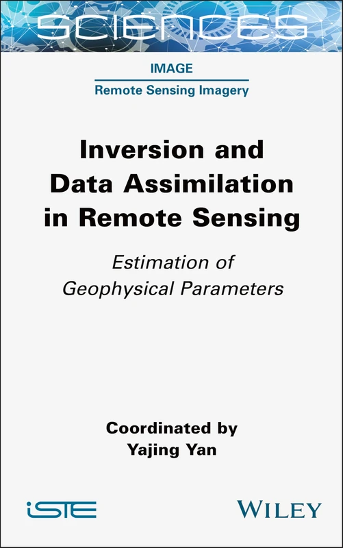
Inversion and Data Assimilation in Remote Sensing: Estimation of Geophysical Parameters (ISTE Consignment)
98% match

Inversion and Data Assimilation in Remote Sensing: Estimation of Geophysical Parameters (ISTE Consignment)

Wiley

£110.99 24 Sep 2026
Introduction to Kinesiology
98% match

Introduction to Kinesiology

£92.02 03 Oct 2026
GIS Automated Delineation of Hospital Service Areas
98% match

GIS Automated Delineation of Hospital Service Areas

CRC Press

£119.38 19 Sep 2026
Reading Rancière for Education: An Introduction
98% match

Reading Rancière for Education: An Introduction

MACMILLAN

£84.99 17 Sep 2026
An Introduction to Agricultural Engineering
98% match

An Introduction to Agricultural Engineering

£76.11 22 Sep 2026
Introduction to Computational Geometry
98% match

Introduction to Computational Geometry

£113.83 24 Sep 2026
Solid State Chemistry: An Introduction
98% match

Solid State Chemistry: An Introduction

£72.69 19 Sep 2026
Introduction to Virtual Reality
98% match

Introduction to Virtual Reality

£105.00 01 Oct 2026
Urban Development: An Introduction
98% match

Urban Development: An Introduction

Larsen and Keller Education

£67.64 23 Sep 2026
An Introduction to Civil Engineering
98% match

An Introduction to Civil Engineering

£72.16 15 Sep 2026
Introduction to Environmental Science
98% match

Introduction to Environmental Science

KENDALL HUNT PUBLISHING

£95.00 16 Sep 2026
Cognitive Computing for Internet of Medical Things
98% match

Cognitive Computing for Internet of Medical Things

CRC Press

£105.00 24 Sep 2026
98% match

Cme,Intro Alg Eqt/Graph-CD-INF

£63.00 11 Sep 2026
Introduction to Food Engineering
98% match

Introduction to Food Engineering

£72.69 20 Sep 2026
CRC Press Omics Studies of Medicinal Plants Book
98% match

CRC Press Omics Studies of Medicinal Plants Book

CRC Press

£147.56 02 Oct 2026