We can't find the internet
Attempting to reconnect
Something went wrong
Hang in there while we get back on track
£63.00
LAP Lambert Academic Publishing Advanced Processing of Remote Sensing Data for Land Use and Land Cover: Concepts, Methods, Applications
Price data last checked 22 day(s) ago - will refresh soon
We'll watch every seller, every day. One email when your price arrives.
It has never been this cheap. We have no record of a lower price.
£63 today · cheaper than every other day in the last 3 months
NEW HERE?
Amazon shows you one price. We show you all of them.
Tosheroon watches Amazon prices so you don't have to. Every product on Amazon has a price history — we make it visible. Set the price you'd actually pay, and we'll email you the second it gets there. No app, no account, one email.
WHAT'S ON THIS PAGE
when this has been cheap or pricey
where the price is heading next
all-time high & low, recent range
name your number, we'll email you
Price History & Forecast
Grey patches = out of stock. Cheaper = lower on the chart. Hover for exact prices.
Last 69 days · 69 data points (no recent data)
Price Distribution
Price distribution over 69 days • 1 price levels
Price Analysis
Most common price: £63 (69 days, 100.0%)
Price range: £63 - £63
Price levels: 1 different prices over 69 days
Product Specifications
- Format
- paperback
- ASIN
- 3838329937
- Domain
- Amazon UK
- Release Date
- 14 September 2010
- Listed Since
- 15 March 2010
Barcode
No barcode data available
Similar Products You Might Like
Remote Sensing and GIS Application for Land use/ Land cover Change Analysis
LAP Lambert Academic Publishing
Geographic Information System and Remote Sensing Techniques on: Urban Sprawl, Landuse Change and Environmental Impact Assessment
LAP Lambert Academic Publishing
REMOTE SENSING: Multispectral & Hyperspectral Applications
LAP Lambert Academic Publishing

Remote Sensing for Civil Engineers: Principles, Data, and Intelligent Applications: From Multi-Spectral Bands to Digital Infrastructure Twins.
LAP Lambert Academic Publishing
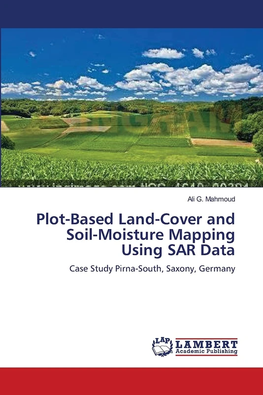
Plot-Based Land-Cover and Soil-Moisture Mapping Using SAR Data: Case Study Pirna-South, Saxony, Germany
LAP Lambert Academic Publishing
Automatic extraction of vector representations of line features: Classifying from remotely sensed images
LAP Lambert Academic Publishing
Preliminary Satellite Image Analysis: Processing the Landsat Imagery Inside the ArcGIS Setting
LAP Lambert Academic Publishing
Re-envisioning Advances in Remote Sensing: Urbanization, Disasters and Planning
CRC Press
Remote Sensing Data Fusion: Soft and belief-based approaches, Dempster-Shafer and membership theory, Synergisms with SAR/VIR, Land cover detection
LAP Lambert Academic Publishing
Despeckling & Object Recognition in Synthetic Aperture RADAR Imagery: A New Approach
LAP Lambert Academic Publishing
Remote Sensing and GIS: Space Technology and Machine Learning for Agricultural and Landscape Analytics
John Wiley & Sons Inc
Advanced Image Processing Techniques for Remote Sensing Applications: A Systematic Approach to Estimate Crop Yield using NOAA/Landsat 8 Satellites Data Through Denoising and Enhancement
LAP Lambert Academic Publishing
Towards AI Large Model: Remote Sensing Image Intelligent Interpretation and Application
Springer
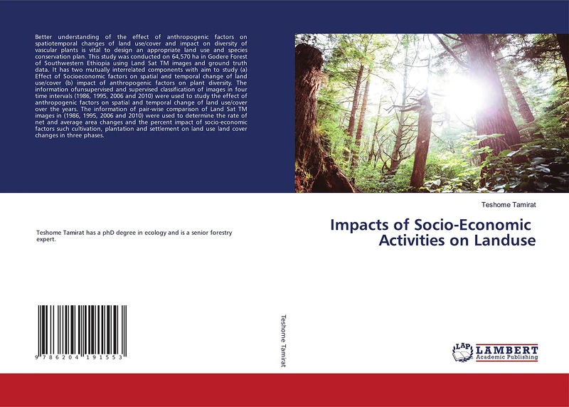
Impacts of Socio-Economic Activities on Landuse
LAP Lambert Academic Publishing
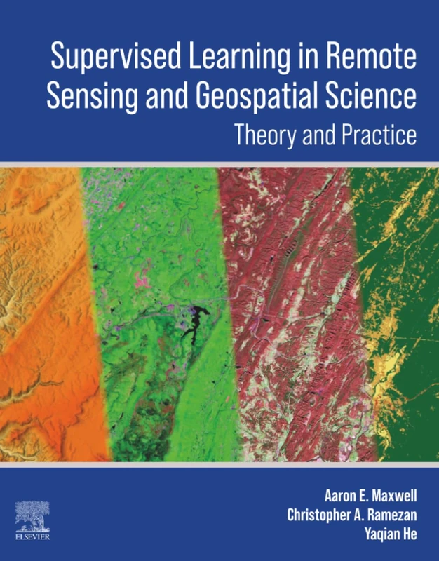
Supervised Learning in Remote Sensing and Geospatial Science
Elsevier
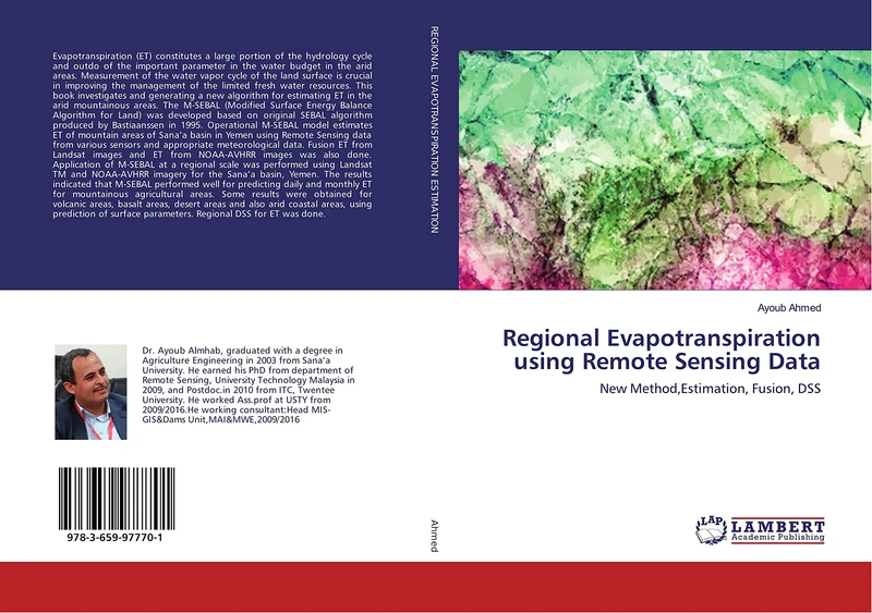
Regional Evapotranspiration using Remote Sensing Data: New Method,Estimation, Fusion, DSS
LAP Lambert Academic Publishing
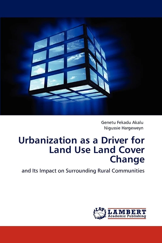
Urbanization as a Driver for Land Use Land Cover Change: and Its Impact on Surrounding Rural Communities
LAP Lambert Academic Publishing
Agricultural Land Use Change and Sustainable Peri Urban Livelihoods
LAP Lambert Academic Publishing
The Application of Land Evaluation Technique: in the north-east of Libya
LAP Lambert Academic Publishing
Applied River Basin Geomorphology: Overlay and Analysis: Perspective of Subtropical Bengal Basin
LAP Lambert Academic Publishing
Agriculture in Sustainable RuralDevelopment: Agriculture and RuralDevelopment
LAP Lambert Academic Publishing
Spatial Modeling of Carbon Pools and Fluxes of Terrestrial Ecosystems: India
LAP Lambert Academic Publishing

State-based Publish/Subscribe for Sensor Systems
LAP Lambert Academic Publishing
Advanced Remote Sensing for Urban and Landscape Ecology (Advances in Geographical and Environmental Sciences)
Springer