We can't find the internet
Attempting to reconnect
Something went wrong
Hang in there while we get back on track
£76.00
LAP Lambert Academic Publishing Preliminary Satellite Image Analysis: Processing the Landsat Imagery Inside the ArcGIS Setting
Price data last checked 26 day(s) ago - will refresh soon
We'll watch every seller, every day. One email when your price arrives.
It has never been this cheap. We have no record of a lower price.
£76 today · cheaper than every other day in the last 3 months
NEW HERE?
Amazon shows you one price. We show you all of them.
Tosheroon watches Amazon prices so you don't have to. Every product on Amazon has a price history — we make it visible. Set the price you'd actually pay, and we'll email you the second it gets there. No app, no account, one email.
WHAT'S ON THIS PAGE
when this has been cheap or pricey
where the price is heading next
all-time high & low, recent range
name your number, we'll email you
Price History & Forecast
Grey patches = out of stock. Cheaper = lower on the chart. Hover for exact prices.
Last 65 days · 65 data points (no recent data)
Price Distribution
Price distribution over 65 days • 1 price levels
Price Analysis
Most common price: £76 (65 days, 100.0%)
Price range: £76 - £76
Price levels: 1 different prices over 65 days
Product Specifications
- Format
- paperback
- ASIN
- 6202788720
- Domain
- Amazon UK
- Release Date
- 11 August 2020
- Listed Since
- 21 September 2020
Barcode
No barcode data available
Similar Products You Might Like
Satellite Image Compression Based on Intra-Inter Coding Frame: Raw Satellite Images Compression
LAP Lambert Academic Publishing
Enhancement & Classification Of MS-Satellite Images with Ml Algorithms: Deep Learning Algorithms
LAP Lambert Academic Publishing
Advanced Processing of Remote Sensing Data for Land Use and Land Cover: Concepts, Methods, Applications
LAP Lambert Academic Publishing
Satellite Cloud Image Retrieval by using Different Methods
LAP Lambert Academic Publishing
Remote Sensing and GIS Application for Land use/ Land cover Change Analysis
LAP Lambert Academic Publishing
Plot-Based Land-Cover and Soil-Moisture Mapping Using SAR Data: Case Study Pirna-South, Saxony, Germany
LAP Lambert Academic Publishing
Geographic Information System and Remote Sensing Techniques on: Urban Sprawl, Landuse Change and Environmental Impact Assessment
LAP Lambert Academic Publishing

Despeckling & Object Recognition in Synthetic Aperture RADAR Imagery: A New Approach
LAP Lambert Academic Publishing

Transport and Distribution of Atmospheric Aerosols over India: A Satellite Perspective
LAP Lambert Academic Publishing
SEMANTIC INTEGRATION OF GIS AND OLAP IN LOCATION BASED SERVICES: APPLICATION OF SEMANTIC WEB TECHNOLOGY
LAP Lambert Academic Publishing
Automatic extraction of vector representations of line features: Classifying from remotely sensed images
LAP Lambert Academic Publishing
Satellite Remote Sensing: Past, Present and Future
Elsevier

Intelligent Satellite Design and Implementation
Wiley-IEEE Press
On-Board Processing for Satellite Remote Sensing Images
CRC Press
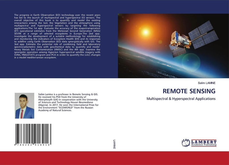
REMOTE SENSING: Multispectral & Hyperspectral Applications
LAP Lambert Academic Publishing
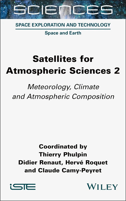
Satellites for Atmospheric Sciences 2: Meteorology, Climate and Atmospheric Composition
Wiley

Satellite Technologies and Global Security: The Use of GPS Tracking Systems in the Fight against International Organized Crime
LAP Lambert Academic Publishing

Marketing of the Space Industry in South Africa
LAP Lambert Academic Publishing
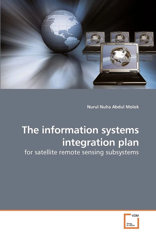
The information systems integration plan: for satellite remote sensing subsystems
VDM Verlag
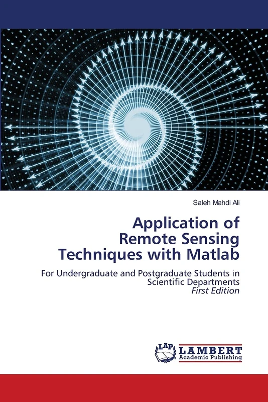
Application of Remote Sensing Techniques with Matlab: For Undergraduate and Postgraduate Students in Scientific DepartmentsFirst Edition
LAP Lambert Academic Publishing

Fundamental Higher Mathematics Linear Algebra and Analytical Geometry P.I
LAP Lambert Academic Publishing

Satellite Systems for Navigation and Geosciences (Earth Sciences)
IntechOpen
The Application of Land Evaluation Technique: in the north-east of Libya
LAP Lambert Academic Publishing

Remote Sensing for Civil Engineers: Principles, Data, and Intelligent Applications: From Multi-Spectral Bands to Digital Infrastructure Twins.
LAP Lambert Academic Publishing