We can't find the internet
Attempting to reconnect
Something went wrong
Hang in there while we get back on track

£92.18
Springer Tangible Modeling with Open Source GIS
Price data last checked 29 day(s) ago - will refresh soon
We'll watch every seller, every day. One email when your price arrives.
It has never been this cheap. We have no record of a lower price.
£92 today · cheaper than every other day in the last 3 months
NEW HERE?
Amazon shows you one price. We show you all of them.
Tosheroon watches Amazon prices so you don't have to. Every product on Amazon has a price history — we make it visible. Set the price you'd actually pay, and we'll email you the second it gets there. No app, no account, one email.
WHAT'S ON THIS PAGE
when this has been cheap or pricey
where the price is heading next
all-time high & low, recent range
name your number, we'll email you
Price History & Forecast
Grey patches = out of stock. Cheaper = lower on the chart. Hover for exact prices.
Last 62 days · 62 data points (no recent data)
Price Distribution
Price distribution over 62 days • 2 price levels
Price Analysis
Most common price: £92 (58 days, 93.5%)
Price range: £92 - £96
Price levels: 2 different prices over 62 days
Description
Product Specifications
- Brand
- Springer
- Format
- hardcover
- ASIN
- 3319893025
- Domain
- Amazon UK
- Release Date
- 24 May 2018
- Listed Since
- 08 March 2018
Barcode
No barcode data available
Similar Products You Might Like
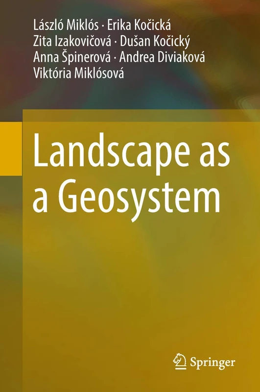
Landscape as a Geosystem
Springer
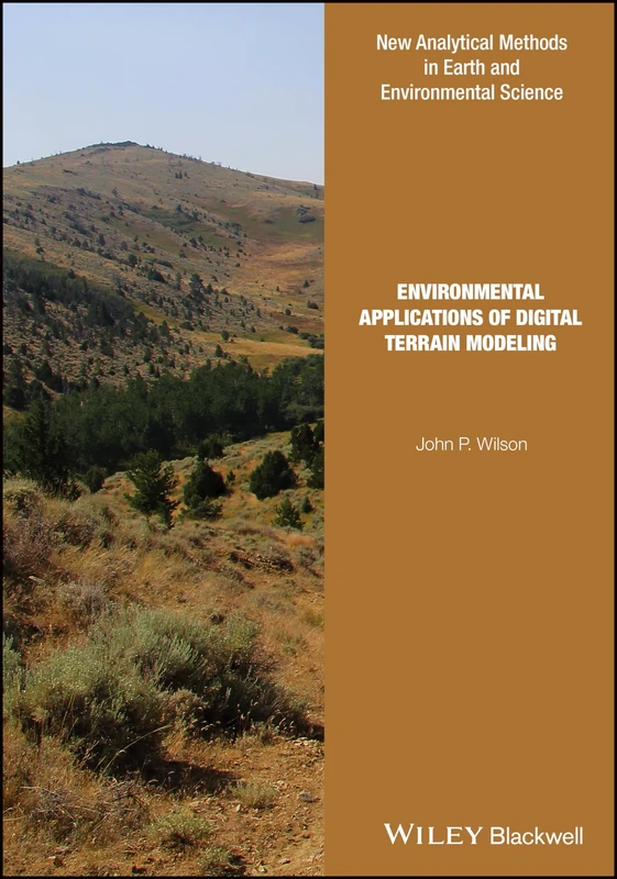
Environmental Applications of Digital Terrain Modeling (Analytical Methods in Earth and Environmental Science)
Wiley

Wiley-Blackwell Geomorphology and Land Management Book
Wiley-Blackwell
Price unavailable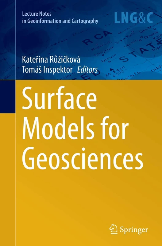
Surface Models for Geosciences (Lecture Notes in Geoinformation and Cartography)
Springer

Watershed Erosion Processes (Geography of the Physical Environment)
Springer

Springer Atlas of Environmental Risks Facing China - Climate Change
Springer

Strategies for Landscape Representation: Digital and Analogue Techniques
Routledge

Developments and Applications of Geomorphology
Springer
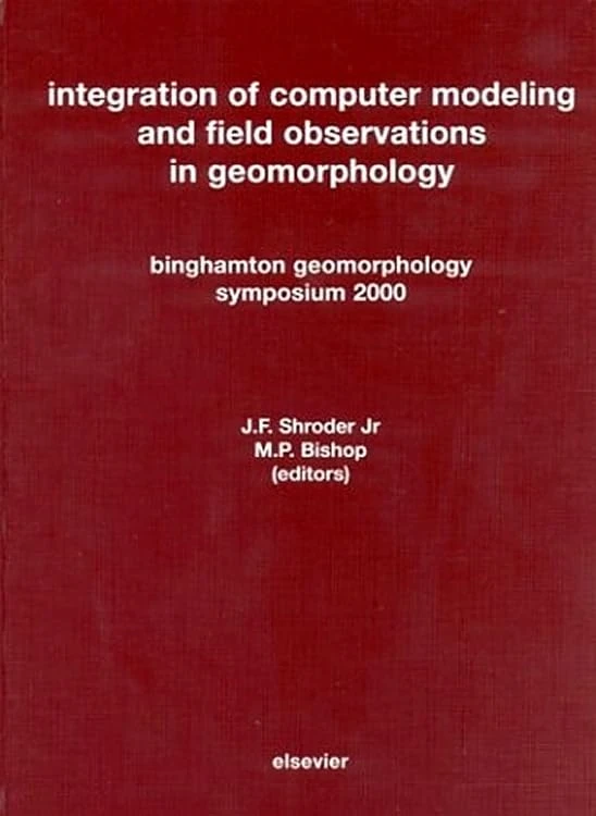
Integration of Computer Modeling and Field Observations in Geomorphology: Binghamton Geomorphology Symposium 2000
Elsevier
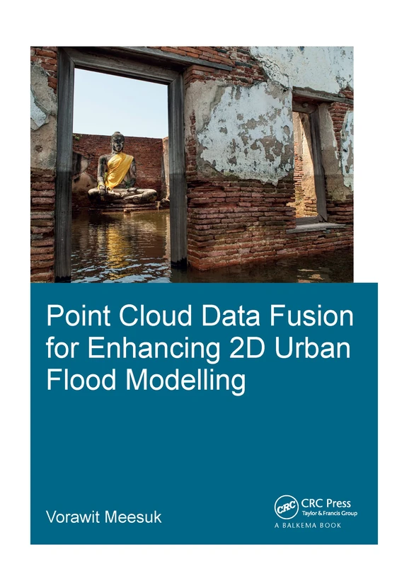
Point Cloud Data Fusion for Enhancing 2D Urban Flood Modelling (IHE Delft PhD Thesis Series)
CRC Press
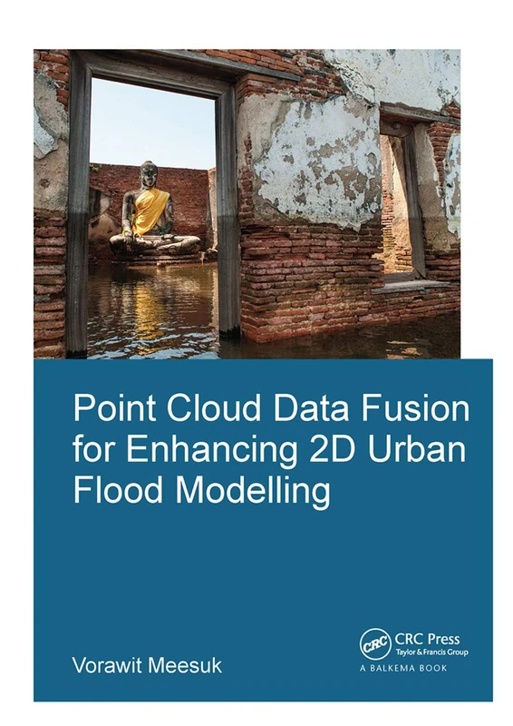
Point Cloud Data Fusion for Enhancing 2D Urban Flood Modelling (IHE Delft PhD Thesis Series)
CRC Press
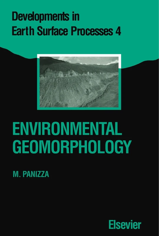
Environmental Geomorphology
Elsevier

Strategies for Landscape Representation: Digital and Analogue Techniques
Routledge
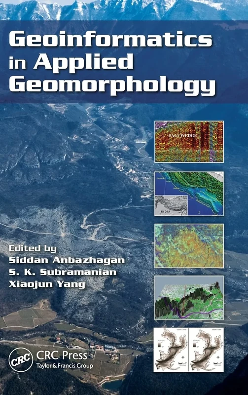
Geoinformatics in Applied Geomorphology
CRC Press

Efficient Topology Estimation for Large Scale Optical Mapping: 82 (Springer Tracts in Advanced Robotics, 82)
Springer

Sustainable Strategies for Managing Geoheritage in a Dynamic World (Advances in Geographical and Environmental Sciences)
Springer
Landscape Erosion and Evolution Modeling
Springer
Landscape Ecology and Water Management: Proceedings of IGU Rohtak Conference, Vol. 2 (Advances in Geographical and Environmental Sciences)
Springer
True-3D in Cartography: Autostereoscopic and Solid Visualisation of Geodata (Lecture Notes in Geoinformation and Cartography)
Springer
Landscape Ecology and Water Management: Proceedings of IGU Rohtak Conference, Vol. 2 (Advances in Geographical and Environmental Sciences)
Springer
3D Geo-Information Sciences (Lecture Notes in Geoinformation and Cartography)
Springer

Landscapes, Identities and Development - Routledge Book
Routledge
Recent Landform Evolution: The Carpatho-Balkan-Dinaric Region (Springer Geography)
Springer

Spatial Modeling Principles in Earth Sciences
Springer