We can't find the internet
Attempting to reconnect
Something went wrong
Hang in there while we get back on track

£97.00
Wiley Environmental Applications of Digital Terrain Modeling (Analytical Methods in Earth and Environmental Science)
Price data last checked 34 day(s) ago - refreshing...
We'll watch every seller, every day. One email when your price arrives.
About as cheap as it gets. The only time it was cheaper was 3 months ago.
£97 today · all-time low £93 (Apr 2026) · usually the usual
NEW HERE?
Amazon shows you one price. We show you all of them.
Tosheroon watches Amazon prices so you don't have to. Every product on Amazon has a price history — we make it visible. Set the price you'd actually pay, and we'll email you the second it gets there. No app, no account, one email.
WHAT'S ON THIS PAGE
when this has been cheap or pricey
where the price is heading next
all-time high & low, recent range
name your number, we'll email you
Price History & Forecast
Grey patches = out of stock. Cheaper = lower on the chart. Hover for exact prices.
Last 57 days · 57 data points (no recent data)
Price Distribution
Price distribution over 57 days • 4 price levels
Price Analysis
Most common price: £93 (40 days, 70.2%)
Price range: £93 - £101
Price levels: 4 different prices over 57 days
Description
Product Specifications
- Brand
- Wiley
- Format
- hardcover
- ASIN
- 1118936213
- Domain
- Amazon UK
- Release Date
- 18 April 2018
- Listed Since
- 01 March 2014
Barcode
No barcode data available
Similar Products You Might Like
Surface Models for Geosciences (Lecture Notes in Geoinformation and Cartography)
Springer
Digital Terrain Modeling: Acquisition, Manipulation, and Applications (Artech House Remote Sensing Library)
Artech House

Developments and Applications of Geomorphology
Springer

Wiley-Blackwell Geomorphology and Land Management Book
Wiley-Blackwell
Price unavailable
Landscape as a Geosystem
Springer
Surface Modeling: High Accuracy and High Speed Methods (Applied Ecology and Environmental Management)
CRC Press

GIS and Environmental Modeling: Progress and Research Issues
Wiley
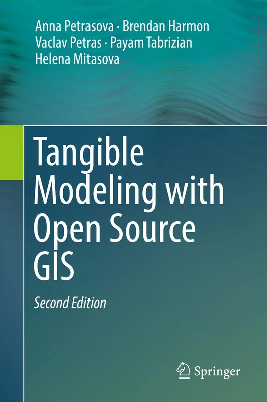
Tangible Modeling with Open Source GIS
Springer
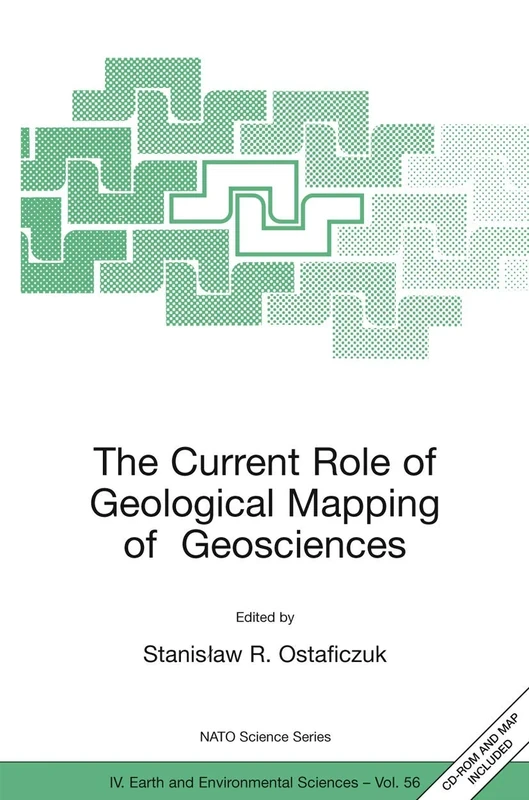
The Current Role of Geological Mapping in Geosciences: Proceedings of the NATO Advanced Research Workshop on Innovative Applications of GIS in ... 2003: 56 (NATO Science Series: IV:, 56)
Springer
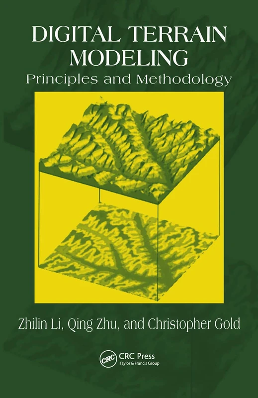
Digital Terrain Modeling: Principles and Methodology
CRC Press

Computational Science – ICCS 2019: 19th International Conference, Faro, Portugal, June 12–14, 2019, Proceedings, Part I: 11536 (Lecture Notes in Computer Science, 11536)
Springer
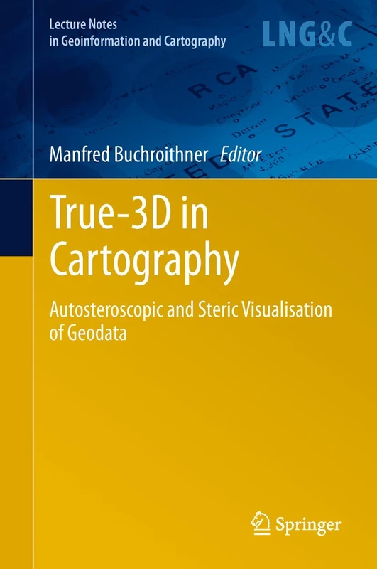
True-3D in Cartography: Autostereoscopic and Solid Visualisation of Geodata (Lecture Notes in Geoinformation and Cartography)
Springer

Methodological Approaches in Physical Geography (Geography of the Physical Environment)
Springer

Intelligent Systems for Crisis Management: Geo-information for Disaster Management (Gi4DM) 2012 (Lecture Notes in Geoinformation and Cartography)
Springer

Efficient Topology Estimation for Large Scale Optical Mapping: 82 (Springer Tracts in Advanced Robotics, 82)
Springer

TORUS 2 - Toward an Open Resource Using Services: Cloud Computing for Environmental Data (Computer Engineering)
Wiley
Landscape Ecology and Water Management: Proceedings of IGU Rohtak Conference, Vol. 2 (Advances in Geographical and Environmental Sciences)
Springer

Scale in Spatial Information and Analysis
CRC Press
Structure from Motion in the Geosciences (Analytical Methods in Earth and Environmental Science)
Wiley

Multitemporal Remote Sensing: Methods and Applications: 20 (Remote Sensing and Digital Image Processing, 20)
Springer

Computational Science – ICCS 2019: 19th International Conference, Faro, Portugal, June 12–14, 2019, Proceedings, Part IV: 11539 (Lecture Notes in Computer Science, 11539)
Springer
Geomorphological Mapping: Methods and Applications (Volume 15) (Developments in Earth Surface Processes, Volume 15)
Elsevier
GIS for Environmental Decision-Making (Innovations in GIS)
CRC Press

Geographic Information Science and Mountain Geomorphology (Springer Praxis Books)
Springer