We can't find the internet
Attempting to reconnect
Something went wrong
Hang in there while we get back on track
£85.00
Artech House Digital Terrain Modeling: Acquisition, Manipulation, and Applications (Artech House Remote Sensing Library)
Price data last checked 16 day(s) ago - will refresh soon
We'll watch every seller, every day. One email when your price arrives.
This is the most expensive it has ever been. Walk away.
£85 today · previous high £85 · all-time low £80
NEW HERE?
Amazon shows you one price. We show you all of them.
Tosheroon watches Amazon prices so you don't have to. Every product on Amazon has a price history — we make it visible. Set the price you'd actually pay, and we'll email you the second it gets there. No app, no account, one email.
WHAT'S ON THIS PAGE
when this has been cheap or pricey
where the price is heading next
all-time high & low, recent range
name your number, we'll email you
Price History & Forecast
Grey patches = out of stock. Cheaper = lower on the chart. Hover for exact prices.
Last 75 days · 75 data points (no recent data)
Price Distribution
Price distribution over 75 days • 2 price levels
Price Analysis
Most common price: £85 (61 days, 81.3%)
Price range: £80 - £85
Price levels: 2 different prices over 75 days
Description
Product Specifications
- Brand
- Artech House
- Format
- hardcover
- ASIN
- 1580539211
- Domain
- Amazon UK
- Release Date
- 30 June 2005
- Listed Since
- 05 February 2007
Barcode
No barcode data available
Similar Products You Might Like
Topographic Mapping: Covering the Wider Field of Geospatial Information Science & Technology (GIS&T) SECOND EDITION
Universal Publishers
Advances in Digital Terrain Analysis (Lecture Notes in Geoinformation and Cartography)
Springer
Environmental Applications of Digital Terrain Modeling (Analytical Methods in Earth and Environmental Science)
Wiley
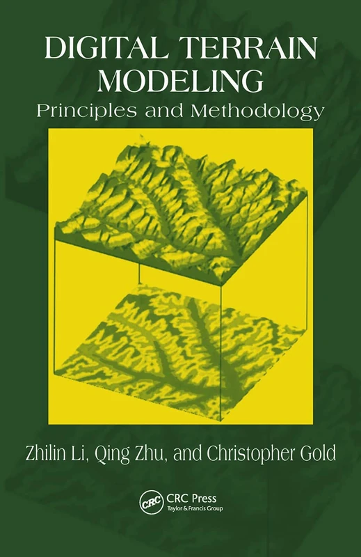
Digital Terrain Modeling: Principles and Methodology
CRC Press
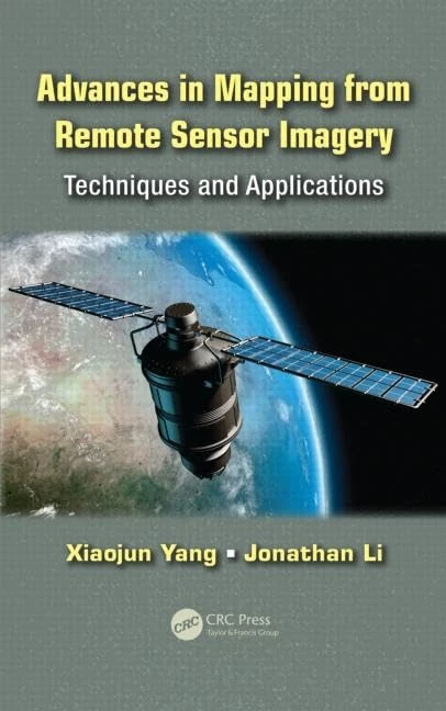
Advances in Mapping from Remote Sensor Imagery: Techniques and Applications
CRC Press

Three Dimensional Surface Topography (Ultra Precision Technology)
Butterworth-Heinemann
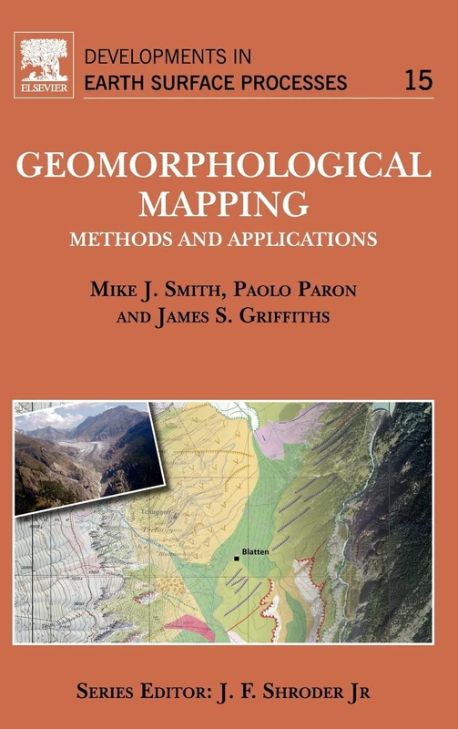
Geomorphological Mapping: Methods and Applications (Volume 15) (Developments in Earth Surface Processes, Volume 15)
Elsevier
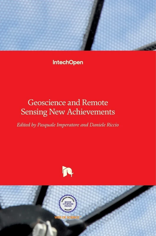
Geoscience and Remote Sensing: New Achievements
IntechOpen
Understanding Least Squares Estimation and Geomatics Data Analysis
Wiley

Fundamentals of Satellite Remote Sensing: An Environmental Approach, Third Edition
CRC Press
Surface Models for Geosciences (Lecture Notes in Geoinformation and Cartography)
Springer
Remote Sensing Techniques and GIS Applications in Earth and Environmental Studies
Delve Publishing
Thermal Remote Sensing in Land Surface Processing
CRC Press
Three Dimensional Surface Topography, Second Edition - Book
Butterworth-Heinemann
Fundamentals of Satellite Remote Sensing: An Environmental Approach, Third Edition
CRC Press
Geomatics Solutions for Disaster Management (Lecture Notes in Geoinformation and Cartography)
Springer
Remote Sensing Time Series Image Processing (Imaging Science)
CRC Press
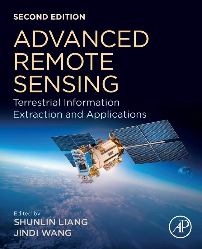
Academic Press Advanced Remote Sensing - 2nd Edition Book
Academic Press
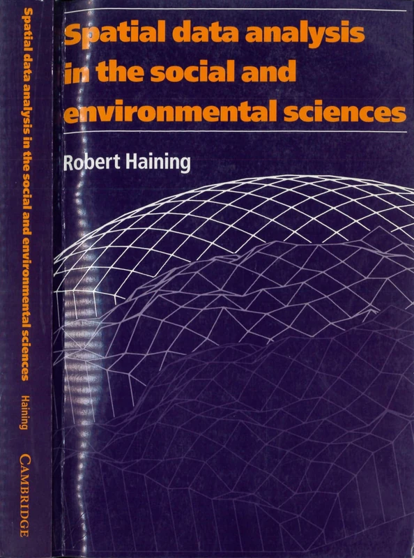
Spatial Data Analysis in the Social and Environmental Sciences
Cambridge University Press

Big Data Analytics in Earth, Atmospheric, and Ocean Sciences (Special Publications)
American Geophysical Union
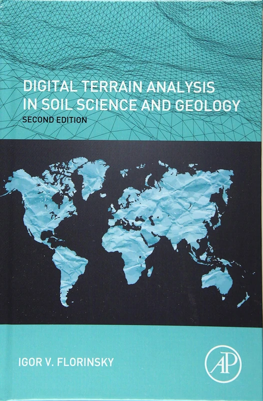
Digital Terrain Analysis in Soil Science and Geology
Academic Press
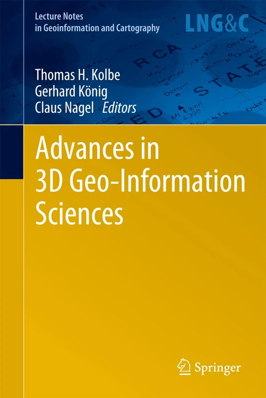
Advances in 3D Geo-Information Sciences (Lecture Notes in Geoinformation and Cartography)
Springer
Advanced Remote Sensing: Terrestrial Information Extraction and Applications
Academic Press

Teaching and Learning in Higher Education: Disciplinary Approaches to Educational Enquiry
Sage Publications