We can't find the internet
Attempting to reconnect
Something went wrong!
Hang in there while we get back on track
£123.99
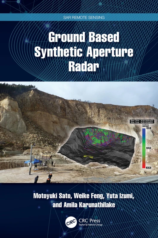
CRC Press Ground Based Synthetic Aperture Radar (SAR Remote Sensing)
Price data last checked 76 day(s) ago - refreshing...
We'll watch every seller, every day. One email when your price arrives.
It has never been this cheap. We have no record of a lower price.
£124 today · cheaper than every other day in the last 3 months
NEW HERE?
Amazon shows you one price. We show you all of them.
Tosheroon watches Amazon prices so you don't have to. Every product on Amazon has a price history — we make it visible. Set the price you'd actually pay, and we'll email you the second it gets there. No app, no account, one email.
WHAT'S ON THIS PAGE
when this has been cheap or pricey
where the price is heading next
all-time high & low, recent range
name your number, we'll email you
Price History & Forecast
Grey patches = out of stock. Cheaper = lower on the chart. Hover for exact prices.
Last 15 days • 15 data points (No recent data available)
Price Distribution
Price distribution over 15 days • 1 price levels
Price Analysis
Most common price: £124 (15 days, 100.0%)
Price range: £124 - £124
Price levels: 1 different prices over 15 days
Description
Product Specifications
- Brand
- CRC Press
- Format
- hardcover
- ASIN
- 1032327065
- Domain
- Amazon UK
- Release Date
- 30 December 2024
- Listed Since
- 21 June 2024
Barcode
No barcode data available
Similar Products You Might Like
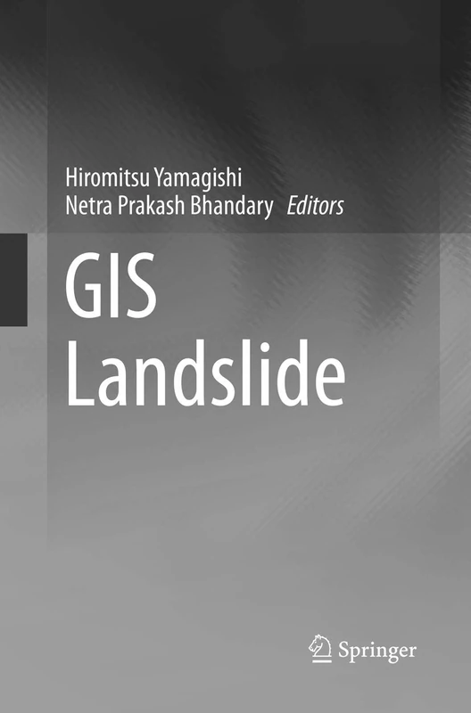
Springer GIS Landslide - GIS and Remote Sensing Textbook
Springer
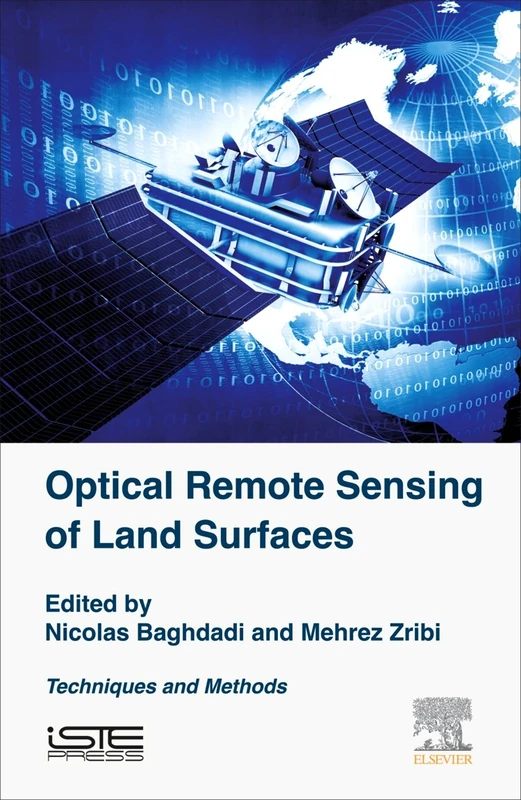
Optical Remote Sensing of Land Surface: Techniques and Methods
Elsevier

Surface Displacement Measurement from Remote Sensing Images
Wiley
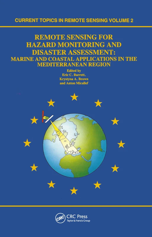
Remote Sensing for Hazard Monitoring and Disaster Assessment: Marine and Coastal Applications in the Mediterranean Region: 2 (Classics of Soviet Mathematics,)
CRC Press
Hands-On Geospatial Analysis with R and QGIS: A beginner's guide to manipulating, managing, and analyzing spatial data using R and QGIS 3.2.2
Packt Publishing
Geoinformatics and Modelling of Landslide Susceptibility and Risk: An RS & GIS-based Model Building Approach in the Eastern Himalaya (Environmental Science and Engineering)
Springer

Satellite Interferometry Data Interpretation and Exploitation: Case Studies from the European Ground Motion Service (EGMS)
Elsevier
Multi-Dimensional Imaging with Synthetic Aperture Radar: Theory and Applications
Academic Press
Polarimetric SAR Imaging: Theory and Applications (SAR Remote Sensing)
CRC Press
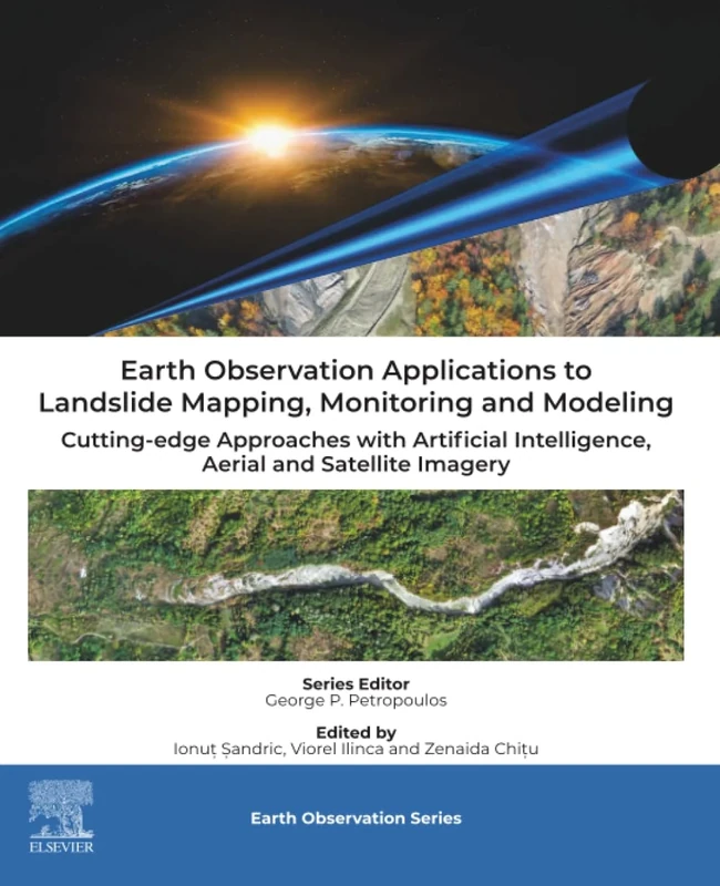
Earth Observation Applications to Landslide Mapping, Monitoring and Modeling: Cutting-edge Approaches with Artificial Intelligence, Aerial and Satellite Imagery
Elsevier
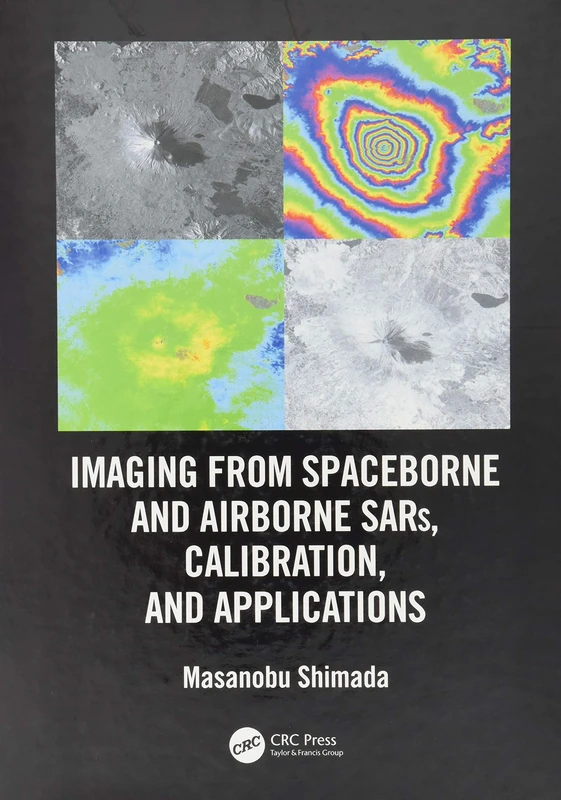
Imaging from Spaceborne and Airborne SARs, Calibration, and Applications (SAR Remote Sensing)
CRC Press

Imaging from Spaceborne and Airborne SARs, Calibration, and Applications (SAR Remote Sensing)
CRC Press
Springer Landslide Disaster Risk Monitoring and Early Warning
Springer
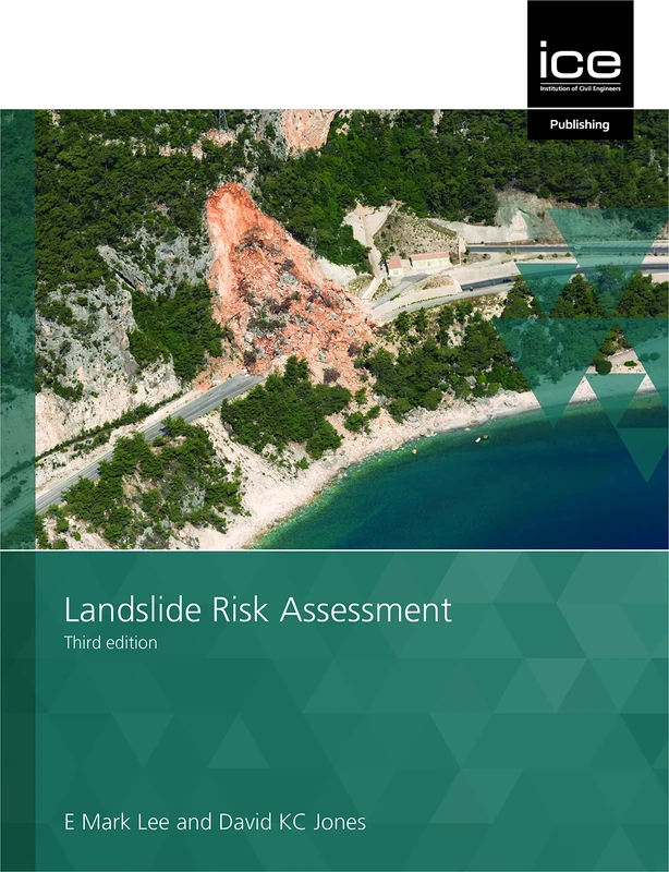
Landslide Risk Assessment
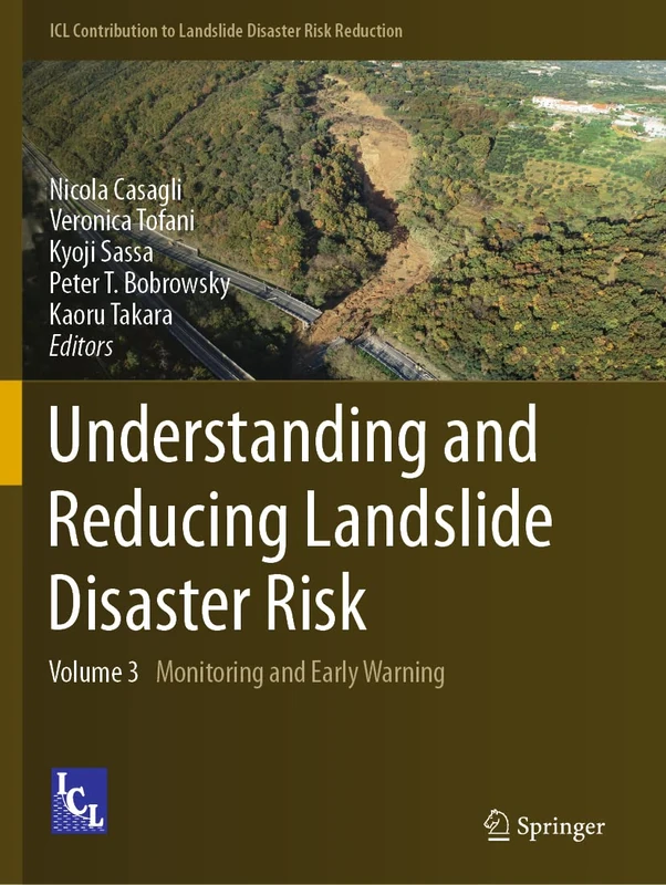
Springer - Understanding and Reducing Landslide Disaster Risk
Springer
Geomatics Solutions for Disaster Management (Lecture Notes in Geoinformation and Cartography)
Springer
Landslides: Processes, Prediction, and Land Use, Volume 18 (Water Resources Monograph)
American Geophysical Union
Landslide Research: The DST'S Initiatives - NIPA Book
NEW INDIA PUBLISHING AGENCY- NIPA

Urban Deformation Monitoring using Persistent Scatterer Interferometry and SAR tomography
MDPI AG
Remote Sensing and GIS Technologies for Monitoring and Prediction of Disasters (Environmental Science and Engineering)
Springer

Manual of Remote Sensing, Remote Sensing for the Earth Sciences (Manual of Remote Sensing, 3rd Edition)
Wiley

Early Warning for Geological Disasters: Scientific Methods and Current Practice (Advanced Technologies in Earth Sciences)
Springer
Elsevier Remote Sensing of Geomorphology - Volume 23
Elsevier

Springer Geomatics Solutions for Disaster Management Book
Springer