We can't find the internet
Attempting to reconnect
Something went wrong
Hang in there while we get back on track

£108.49
Elsevier Earth Observation Applications to Landslide Mapping, Monitoring and Modeling: Cutting-edge Approaches with Artificial Intelligence, Aerial and Satellite Imagery
Price data last checked 42 day(s) ago - refreshing...
We'll watch every seller, every day. One email when your price arrives.
It has never been this cheap. We have no record of a lower price.
£108 today · cheaper than every other day in the last 3 months
NEW HERE?
Amazon shows you one price. We show you all of them.
Tosheroon watches Amazon prices so you don't have to. Every product on Amazon has a price history — we make it visible. Set the price you'd actually pay, and we'll email you the second it gets there. No app, no account, one email.
WHAT'S ON THIS PAGE
when this has been cheap or pricey
where the price is heading next
all-time high & low, recent range
name your number, we'll email you
Price History & Forecast
Grey patches = out of stock. Cheaper = lower on the chart. Hover for exact prices.
Last 49 days · 49 data points (no recent data)
Price Distribution
Price distribution over 49 days • 2 price levels
Price Analysis
Most common price: £110 (42 days, 85.7%)
Price range: £109 - £110
Price levels: 2 different prices over 49 days
Description
Product Specifications
- Brand
- Elsevier
- Format
- paperback
- ASIN
- 0128238682
- Category
- Books > Subjects > Science, Nature & Maths > Engineering & Technology > Education > Higher Education
- Domain
- Amazon UK
- Release Date
- 15 November 2024
- Listed Since
- 23 August 2022
Barcode
No barcode data available
Similar Products You Might Like

Landslides: Theory, Practice and Modelling: 50 (Advances in Natural and Technological Hazards Research, 50)
Springer
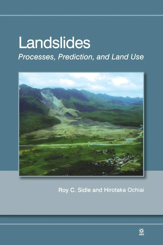
Landslides: Processes, Prediction, and Land Use, Volume 18 (Water Resources Monograph)
American Geophysical Union
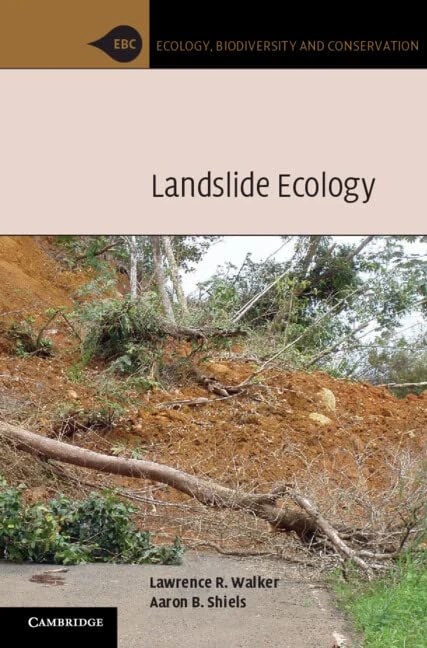
Landslide Ecology (Ecology, Biodiversity and Conservation)
Cambridge University Press
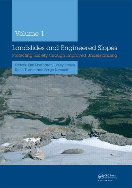
Landslides and Engineered Slopes, 2 Volume Set +CDROM: Protecting Society through Improved Understanding
CRC Press

Landslide Risk Assessment
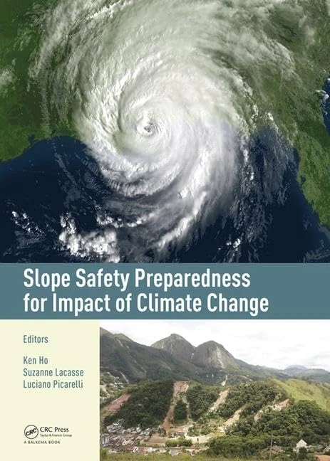
Slope Safety Preparedness for Impact of Climate Change
CRC Press
Progress in Landslide Science
Springer
Springer GIS Landslide - GIS and Remote Sensing Textbook
Springer

Springer - Introduction to the Physics of Landslides Book
Springer

CRC Press - Understanding Landslides through Case Studies
CRC Press

Landslide Databases as Tools for Integrated Assessment of Landslide Risk (Springer Theses)
Springer

Landslides: Risk Analysis and Sustainable Disaster Management
Springer

Landslides and Climate Change: Challenges and Solutions: Proceedings of the International Conference on Landslides and Climate Change, Ventnor, Isle of Wight, UK, 21-24 May 2007
CRC Press
Hydrogeological Instability in Cohesive Soils: Techniques for Prediction, Prevention and Control
Springer
Landslide Research: The DST'S Initiatives - NIPA Book
NEW INDIA PUBLISHING AGENCY- NIPA
Landslide Hazards, Risks, and Disasters (Hazards and Disasters)
Elsevier
Geoinformatics and Modelling of Landslide Susceptibility and Risk: An RS & GIS-based Model Building Approach in the Eastern Himalaya (Environmental Science and Engineering)
Springer
Landslides: Proceedings of the 9th international conference and field trip, Bristol, 16 September 1999
CRC Press
Identification and Mitigation of Large Landslide Risks in Europe: Advances in Risk Assessment
CRC Press
Rainfall-Induced Soil Slope Failure: Stability Analysis and Probabilistic Assessment
CRC Press

Storm-triggered Landslides in Warmer Climates
Springer
Rainfall-Induced Soil Slope Failure: Stability Analysis and Probabilistic Assessment
CRC Press
Springer Landslide Disaster Risk Monitoring and Early Warning
Springer

Springer Landslide Dynamics ISDR-ICL Teaching Tools Vol 2
Springer