We can't find the internet
Attempting to reconnect
Something went wrong!
Hang in there while we get back on track

£107.98
Springer Geomatics Solutions for Disaster Management Book
Price data last checked 46 day(s) ago - refreshing...
We'll watch every seller, every day. One email when your price arrives.
This is the most expensive it has ever been. Walk away.
£108 today · previous high £108 · all-time low £107
NEW HERE?
Amazon shows you one price. We show you all of them.
Tosheroon watches Amazon prices so you don't have to. Every product on Amazon has a price history — we make it visible. Set the price you'd actually pay, and we'll email you the second it gets there. No app, no account, one email.
WHAT'S ON THIS PAGE
when this has been cheap or pricey
where the price is heading next
all-time high & low, recent range
name your number, we'll email you
Price History & Forecast
Grey patches = out of stock. Cheaper = lower on the chart. Hover for exact prices.
Last 45 days • 45 data points (No recent data available)
Price Distribution
Price distribution over 45 days • 2 price levels
Price Analysis
Most common price: £107 (44 days, 97.8%)
Price range: £107 - £108
Price levels: 2 different prices over 45 days
Description
Key Features
Covers essential applications of satellite positioning and remote sensing for effective disaster monitoring and management.
Provides a solid overview of current developments within the risk prevention and disaster management sector.
Explores technical requirements for data collection, information extraction, and data analysis.
Addresses the organizational and legal aspects involved in the sharing of remote sensing information.
Includes information on data standardization to improve consistency across geographic information systems.
Part of the professional Lecture Notes in Geoinformation and Cartography series by Springer.
Product Specifications
- Brand
- Springer
- Format
- paperback
- ASIN
- 3642091261
- Domain
- Amazon UK
- Release Date
- 30 November 2010
- Listed Since
- 01 October 2010
Barcode
No barcode data available
Similar Products You Might Like
Geomatics Solutions for Disaster Management (Lecture Notes in Geoinformation and Cartography)
Springer
Geo-information for Disaster Management
Springer
Springer - Global Changes and Natural Disaster Management Book
Springer

New Paradigm of Industry 4.0: Internet of Things, Big Data & Cyber Physical Systems: 64 (Studies in Big Data, 64)
Springer
Geographic Information Systems (GIS) for Disaster Management
Routledge

WebGIS for Disaster Management and Emergency Response (Advances in Science, Technology & Innovation)
Springer
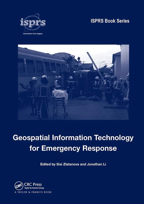
Geospatial Information Technology for Emergency Response (International Society for Photogrammetry and Remote Sensing (ISPRS) book)
CRC Press
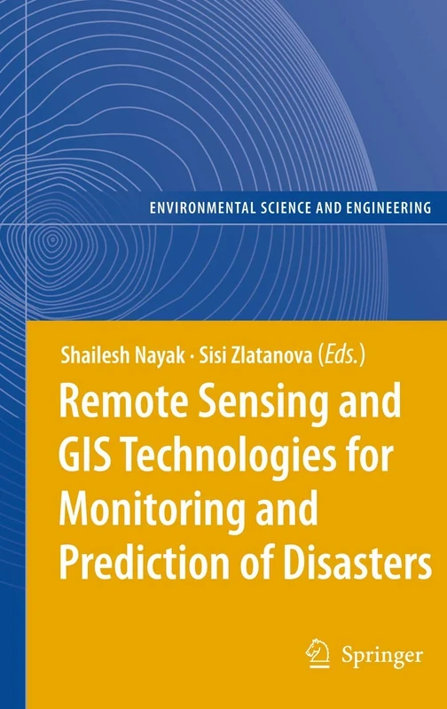
Remote Sensing and GIS Technologies for Monitoring and Prediction of Disasters (Environmental Science and Engineering)
Springer

Early Warning for Geological Disasters: Scientific Methods and Current Practice (Advanced Technologies in Earth Sciences)
Springer
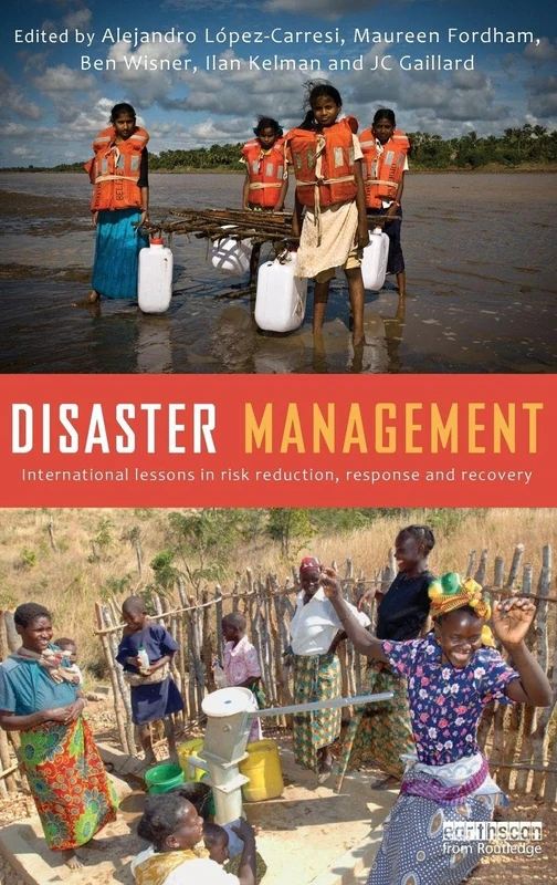
Disaster Management: International Lessons in Risk Reduction, Response and Recovery
Routledge
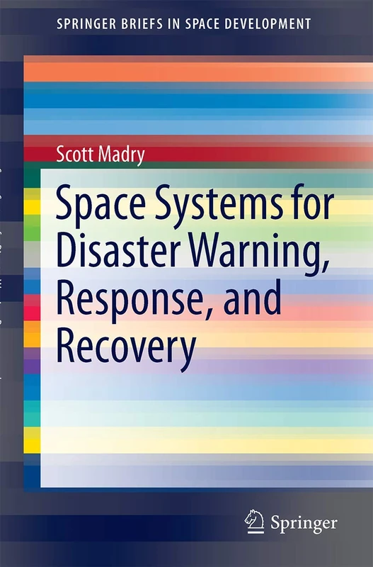
Space Systems for Disaster Warning, Response, and Recovery (SpringerBriefs in Space Development)
Springer
Disaster Management in India: Policies, Institutions, Practices

Natural and Anthropogenic Disasters: Vulnerability, Preparedness and Mitigation
Springer
Natural and Anthropogenic Disasters: Vulnerability, Preparedness and Mitigation
Springer

Naturrisiken und Sozialkatastrophen (Sav Geowissenschaften)
Spektrum Akademischer Verlag
Springer - Improving Disaster Resilience and Mitigation Book
Springer
Disaster Management: International Lessons in Risk Reduction, Response and Recovery
Routledge
Managing Crises and Disasters with Emerging Technologies: Advancements
Information Science Reference

Advances in Spatial and Economic Modeling of Disaster Impacts (Advances in Spatial Science)
Springer
Geohazards: Analysis, Modelling and Forecasting: 53 (Advances in Natural and Technological Hazards Research, 53)
Remote Sensing for Hazard Monitoring and Disaster Assessment: Marine and Coastal Applications in the Mediterranean Region: 2 (Classics of Soviet Mathematics,)
CRC Press
A Holistic Case-Study Approach to Applying Satellite Remote Sensing to Disaster Management
Cambridge Scholars Publishing
Advanced ICTs for Disaster Management and Threat Detection: Collaborative and Distributed Frameworks: 1 (Premier Reference Source)
Information Science Reference
Disaster Risk Science (IHDP/Future Earth-Integrated Risk Governance Project Series)
Springer