We can't find the internet
Attempting to reconnect
Something went wrong
Hang in there while we get back on track
£105.47
This is the most expensive it has ever been. Walk away.
£105 today · previous high £105 · all-time low £99
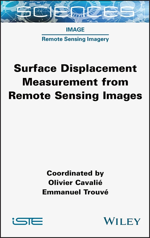
Wiley Surface Displacement Measurement Remote Sensing Book
Price data last checked 63 day(s) ago - refreshing...
We'll watch every seller, every day. One email when your price arrives.
Price History & Forecast
Grey patches = out of stock. Cheaper = lower on the chart. Hover for exact prices.
Last 28 days · 28 data points (no recent data)
Price data last checked 63 day(s) ago - refreshing...
NEW HERE?
Amazon shows you one price. We show you all of them.
Tosheroon watches Amazon prices so you don't have to. Every product on Amazon has a price history — we make it visible. Set the price you'd actually pay, and we'll email you the second it gets there. No app, no account, one email.
WHAT'S ON THIS PAGE
when this has been cheap or pricey
where the price is heading next
all-time high & low, recent range
name your number, we'll email you
Price Distribution
Price distribution over 28 days • 2 price levels
Price Analysis
Most common price: £105 (22 days, 78.6%)
Price range: £99 - £105
Price levels: 2 different prices over 28 days
Description
Key Features
This Wiley publication provides a complete overview of methodological approaches for measuring surface displacement.
Learn to utilize synthetic aperture radar (SAR) and optical imagery for precise Earth surface monitoring.
The text covers the use of spatially dense remote sensing information to understand Earth surface manifestations.
Gain insights into using satellite data to assist in the mitigation of natural hazards.
Explore how modern data processing tools enable near real-time observation of surface deformations.
Product Specifications
- Brand
- Wiley
- Format
- hardcover
- ASIN
- 1789450837
- Domain
- Amazon UK
- Release Date
- 23 August 2022
- Listed Since
- 27 April 2022
Barcode
No barcode data available
Similar Products You Might Like

Urban Deformation Monitoring using Persistent Scatterer Interferometry and SAR tomography
MDPI AG
Elsevier Satellite Interferometry Data Interpretation Book
Elsevier
Satellite Radar Interferometry: Subsidence Monitoring Techniques: 14 (Remote Sensing and Digital Image Processing, 14)
Springer
Radar Interferometry: Data Interpretation and Error Analysis: 2 (Remote Sensing and Digital Image Processing, 2)
Springer

Structure from Motion in the Geosciences (Analytical Methods in Earth and Environmental Science)
Wiley
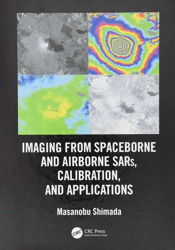
Imaging from Spaceborne and Airborne SARs, Calibration, and Applications (SAR Remote Sensing)
CRC Press

Imaging from Spaceborne and Airborne SARs, Calibration, and Applications (SAR Remote Sensing)
CRC Press

Polarimetric SAR Imaging: Theory and Applications (SAR Remote Sensing)
CRC Press

Remote Sensing for Hazard Monitoring and Disaster Assessment: Marine and Coastal Applications in the Mediterranean Region: 2 (Classics of Soviet Mathematics,)
CRC Press

Early Warning for Geological Disasters: Scientific Methods and Current Practice (Advanced Technologies in Earth Sciences)
Springer
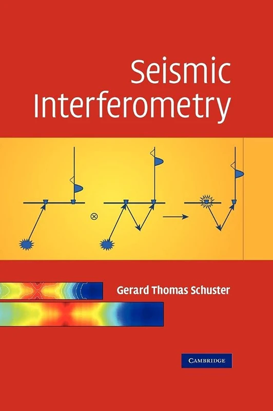
Seismic Interferometry
Cambridge University Press

Geomatics Solutions for Disaster Management (Lecture Notes in Geoinformation and Cartography)
Springer
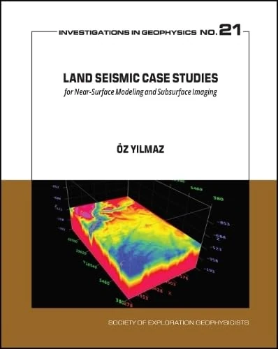
Land Seismic Case Studies - Near-Surface Modeling & Subsurface Imaging

Advances in Land Remote Sensing: System, Modeling, Inversion and Application
Springer

Seismic Interferometry: History and Present Status: 26 (Geophysics Reprints)

Applications of Data Assimilation and Inverse Problems in the Earth Sciences: Series Number 5 (Special Publications of the International Union of Geodesy and Geophysics, Series Number 5)
Cambridge University Press

Innovation in Near-Surface Geophysics: Instrumentation, Application, and Data Processing Methods
Elsevier

Manual of Remote Sensing, Remote Sensing for the Earth Sciences (Manual of Remote Sensing, 3rd Edition)
Wiley

Geodetic Deformation Monitoring: From Geophysical to Engineering Roles: IAG Symposium Jaén, Spain, March 7-19,2005: 131 (International Association of Geodesy Symposia, 131)
Springer
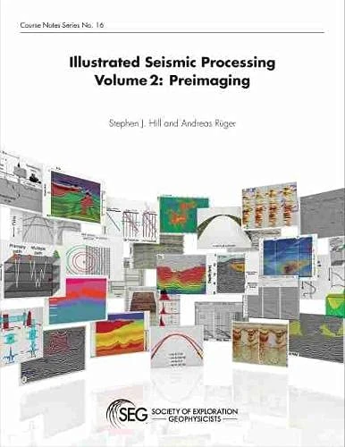
Illustrated Seismic Processing Volume 2: Preimaging

Spaceborne Synthetic Aperture Radar Remote Sensing: Techniques and Applications
CRC Press

Global Changes and Natural Disaster Management - Geo-information Technologies
Springer
Multiple Attenuation (Geophysics Reprints)