We can't find the internet
Attempting to reconnect
Something went wrong
Hang in there while we get back on track
£119.37
This is the most expensive it has ever been. Walk away.
£119 today · previous high £119 · all-time low £118
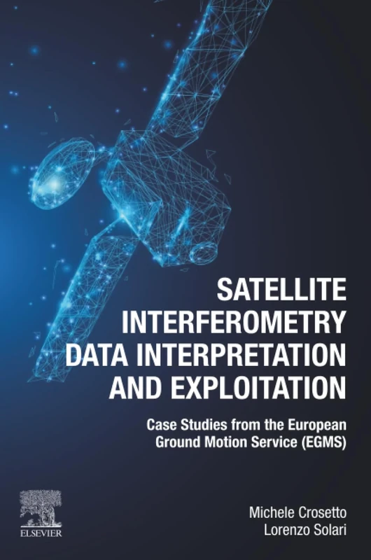
Elsevier Satellite Interferometry Data Interpretation Book
Price data last checked 58 day(s) ago - refreshing...
We'll watch every seller, every day. One email when your price arrives.
Price History & Forecast
Grey patches = out of stock. Cheaper = lower on the chart. Hover for exact prices.
Last 33 days · 33 data points (no recent data)
Price data last checked 58 day(s) ago - refreshing...
NEW HERE?
Amazon shows you one price. We show you all of them.
Tosheroon watches Amazon prices so you don't have to. Every product on Amazon has a price history — we make it visible. Set the price you'd actually pay, and we'll email you the second it gets there. No app, no account, one email.
WHAT'S ON THIS PAGE
when this has been cheap or pricey
where the price is heading next
all-time high & low, recent range
name your number, we'll email you
Price Distribution
Price distribution over 33 days • 2 price levels
Price Analysis
Most common price: £118 (29 days, 87.9%)
Price range: £118 - £119
Price levels: 2 different prices over 33 days
Description
Key Features
Learn interpretation protocols that can be applied to any InSAR data source.
Study real-world case studies from the European Ground Motion Service (EGMS).
Gain knowledge on obtaining millimeter-scale deformation measurements from space.
Understand the methods required to effectively use raw InSAR data for various applications.
Explore the technical aspects of the most emblematic InSAR service, the EGMS.
Product Specifications
- Brand
- Elsevier
- Format
- paperback
- ASIN
- 0443133972
- Domain
- Amazon UK
- Release Date
- 27 June 2023
- Listed Since
- 19 October 2022
Barcode
No barcode data available
Similar Products You Might Like
Urban Deformation Monitoring using Persistent Scatterer Interferometry and SAR tomography
MDPI AG
Wiley Surface Displacement Measurement Remote Sensing Book
Wiley
Structure from Motion in the Geosciences (Analytical Methods in Earth and Environmental Science)
Wiley
Geomorphological Mapping: Methods and Applications (Volume 15) (Developments in Earth Surface Processes, Volume 15)
Elsevier
Remote Sensing of Soil and Land Surface Processes - Elsevier
Elsevier
The Current Role of Geological Mapping in Geosciences: Proceedings of the NATO Advanced Research Workshop on Innovative Applications of GIS in ... 2003: 56 (NATO Science Series: IV:, 56)
Springer
Site Investigation using Resistivity Imaging
CRC Press
Innovation in Near-Surface Geophysics: Instrumentation, Application, and Data Processing Methods
Elsevier
Radar Interferometry: Data Interpretation and Error Analysis: 2 (Remote Sensing and Digital Image Processing, 2)
Springer
Illustrated Seismic Processing Volume 2: Preimaging
Geostatistical Simulations: Proceedings of the Geostatistical Simulation Workshop, Fontainebleau, France, 27–28 May 1993: 7 (Quantitative Geology and Geostatistics, 7)
Springer
Geomorphometry: Concepts, Software, Applications (Volume 33) (Developments in Soil Science, Volume 33)
Elsevier

Wetland Carbon and Environmental Management (Geophysical Monograph Series)
Wiley
Geoinformatics and Modelling of Landslide Susceptibility and Risk: An RS & GIS-based Model Building Approach in the Eastern Himalaya (Environmental Science and Engineering)
Springer

Manual of Remote Sensing, Remote Sensing for the Earth Sciences (Manual of Remote Sensing, 3rd Edition)
Wiley
Satellite Radar Interferometry: Subsidence Monitoring Techniques: 14 (Remote Sensing and Digital Image Processing, 14)
Springer
Remote Sensing for Hydrocarbon Exploration (Springer Remote Sensing/Photogrammetry)
Springer

Advances in Land Remote Sensing: System, Modeling, Inversion and Application
Springer
Imaging from Spaceborne and Airborne SARs, Calibration, and Applications (SAR Remote Sensing)
CRC Press

Imaging from Spaceborne and Airborne SARs, Calibration, and Applications (SAR Remote Sensing)
CRC Press
Geotechnical Risk and Safety: Proceedings of the 2nd International Symposium on Geotechnical Safety and Risk (IS-Gifu 2009) 11-12 June, 2009, Gifu, Japan - IS-Gifu2009
CRC Press
Near-Surface Geophysics: 13 (Investigations in Geophysics)
Seismic Imaging Methods and Applications for Oil and Gas Exploration: Modern Seismic Methods for Hydrocarbon Exploration
Elsevier