We can't find the internet
Attempting to reconnect
Something went wrong!
Hang in there while we get back on track
£114.65
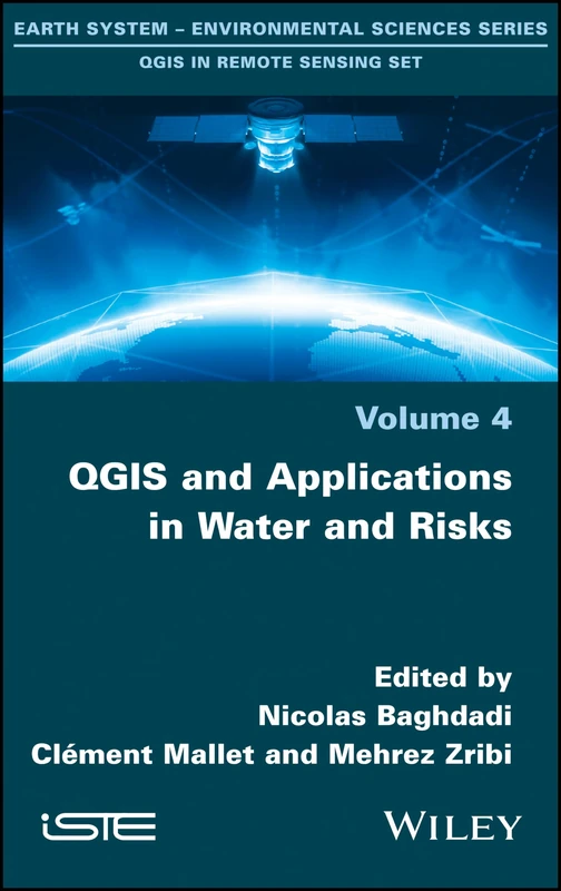
Wiley QGIS and Applications in Water and Risks Book Set
Price data last checked 63 day(s) ago - refreshing...
We'll watch every seller, every day. One email when your price arrives.
It has never been this cheap. We have no record of a lower price.
£115 today · cheaper than every other day in the last 3 months
NEW HERE?
Amazon shows you one price. We show you all of them.
Tosheroon watches Amazon prices so you don't have to. Every product on Amazon has a price history — we make it visible. Set the price you'd actually pay, and we'll email you the second it gets there. No app, no account, one email.
WHAT'S ON THIS PAGE
when this has been cheap or pricey
where the price is heading next
all-time high & low, recent range
name your number, we'll email you
Price History & Forecast
Grey patches = out of stock. Cheaper = lower on the chart. Hover for exact prices.
Last 28 days • 28 data points (No recent data available)
Price Distribution
Price distribution over 28 days • 1 price levels
Price Analysis
Most common price: £115 (28 days, 100.0%)
Price range: £115 - £115
Price levels: 1 different prices over 28 days
Description
Key Features
Covers four specialized volumes focusing on innovative applications of the open source QGIS software.
Provides detailed remote sensing techniques for monitoring and analyzing continental surfaces.
Includes dedicated content for agriculture and forest management applications.
Explores continental hydrology to support water resource management and study.
Addresses environmental and risk issues to assist in land and water safety analysis.
Developed by Wiley-ISTE for professionals in earth sciences and geography.
Product Specifications
- Brand
- Wiley
- Format
- hardcover
- ASIN
- 1786302713
- Domain
- Amazon UK
- Release Date
- 20 February 2018
- Listed Since
- 02 February 2018
Barcode
No barcode data available
Similar Products You Might Like
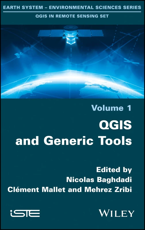
QGIS and Generic Tools (Qgis in Remote Sensing Set)
Wiley
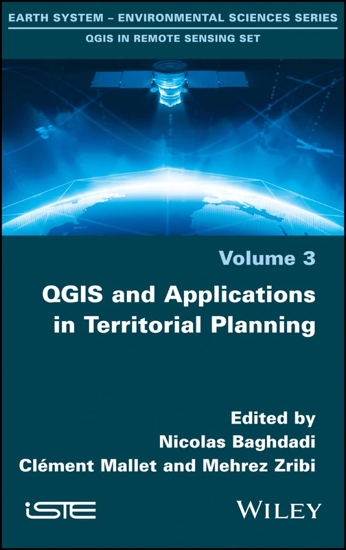
QGIS and Applications in Territorial Planning (Earth System - Environmental Sciences: Qgis in Remote Sensing)
Wiley
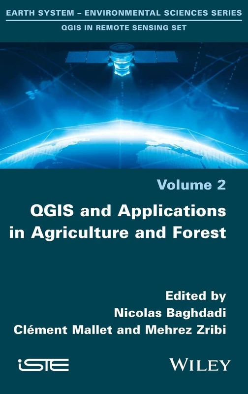
QGIS and Applications in Agriculture and Forest: 2 (Earth System - Environmental Sciences: Qgis in Remote Sensing)
Wiley
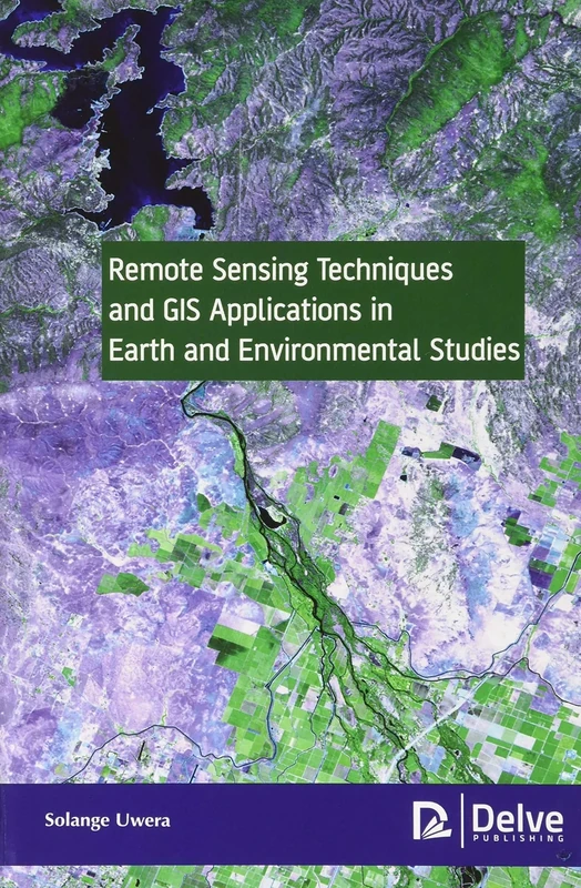
Remote Sensing Techniques and GIS Applications in Earth and Environmental Studies
Delve Publishing

GIS and Geocomputation for Water Resource Science and Engineering (Wiley Works)
American Geophysical Union
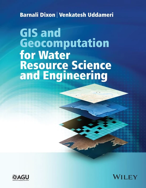
GIS and Geocomputation for Water Resource Science and Engineering (Wiley Works)
Wiley
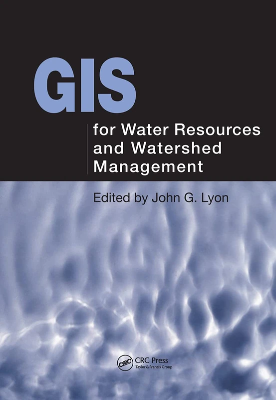
GIS for Water Resource and Watershed Management
CRC Press
Remote Sensing and GIS Techniques in Hydrology (Advances in Geospatial Technologies)
CRC Press Geospatial Technology for Water Resource Applications
CRC Press
Recent Trends in Water Research: Remote Sensing and General Perspectives
Hydrologic Remote Sensing: Capacity Building for Sustainability and Resilience
CRC Press
Geographic Information Systems in Water Resources Engineering
CRC Press
Emerging Trends in Open Source Geographic Information Systems (Advances in Geospatial Technologies)
IGI Global
Remote Sensing and Image Interpretation
Wiley
Geospatial Services and Applications for the Internet
Springer

CRC Press Remote Sensing of Natural Resources: 9 Book
CRC Press
Remote Sensing and GIS Integration: Theories, Methods, and Applications (ELECTRONICS)
McGraw-Hill Education
CRC Press Resource Management Information Systems, 2nd Edition
CRC Press
QGIS et applications en eau et risques: Volume 4, QGIS et applications en eau et risques
Satellite Remote Sensing for Water Management
Cambridge University Press
Advances in Geoscience and Remote Sensing
IntechOpen
ArcGIS Pro and ArcGIS Online: Applications in Water and Environmental Sciences (Springer Textbooks in Earth Sciences, Geography and Environment)
Springer
Geospatial Technologies or Natural Resources Management
Ingramcontent