We can't find the internet
Attempting to reconnect
Something went wrong!
Hang in there while we get back on track
£117.68
CRC Press Geospatial Technology for Water Resource Applications
Price data last checked 63 day(s) ago - refreshing...
We'll watch every seller, every day. One email when your price arrives.
It has never been this cheap. We have no record of a lower price.
£118 today · cheaper than every other day in the last 3 months
NEW HERE?
Amazon shows you one price. We show you all of them.
Tosheroon watches Amazon prices so you don't have to. Every product on Amazon has a price history — we make it visible. Set the price you'd actually pay, and we'll email you the second it gets there. No app, no account, one email.
WHAT'S ON THIS PAGE
when this has been cheap or pricey
where the price is heading next
all-time high & low, recent range
name your number, we'll email you
Price History & Forecast
Grey patches = out of stock. Cheaper = lower on the chart. Hover for exact prices.
Last 28 days • 28 data points (No recent data available)
Price Distribution
Price distribution over 28 days • 2 price levels
Price Analysis
Most common price: £118 (17 days, 60.7%)
Price range: £118 - £120
Price levels: 2 different prices over 28 days
Description
Key Features
Explores recent developments in geospatial technologies specifically applied to water resource management and hydrological science.
Integrates modern earth observation datasets including TRMM/GPM, AMSR E/2, SMOS, SMAP, and GCOM for enhanced data analysis.
Combines GIS with artificial intelligence and hybrid techniques to provide advanced tools for environmental science applications.
Links satellite mission data with geospatial methods to support multidisciplinary research and practical user applications.
Provides 100 key points to help scientists and professionals master complex water resource management concepts.
Product Specifications
- Brand
- CRC Press
- Format
- hardcover
- ASIN
- 1498719686
- Domain
- Amazon UK
- Release Date
- 30 July 2016
- Listed Since
- 30 September 2015
Barcode
No barcode data available
Similar Products You Might Like
Geospatial Technology for Water Resource Applications
CRC Press
Remote Sensing and GIS Techniques in Hydrology (Advances in Geospatial Technologies)

GIS and Geocomputation for Water Resource Science and Engineering (Wiley Works)
American Geophysical Union
GIS for Water Resource and Watershed Management
CRC Press
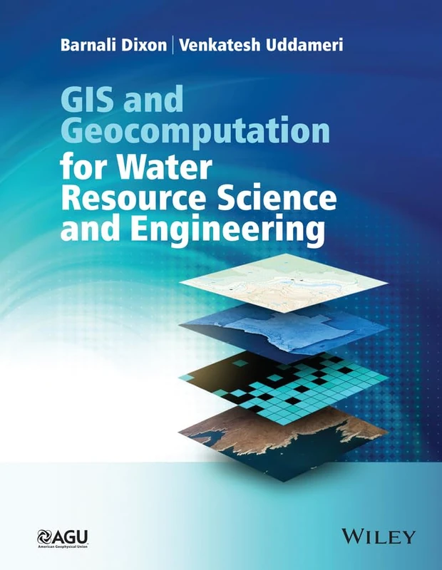
GIS and Geocomputation for Water Resource Science and Engineering (Wiley Works)
Wiley
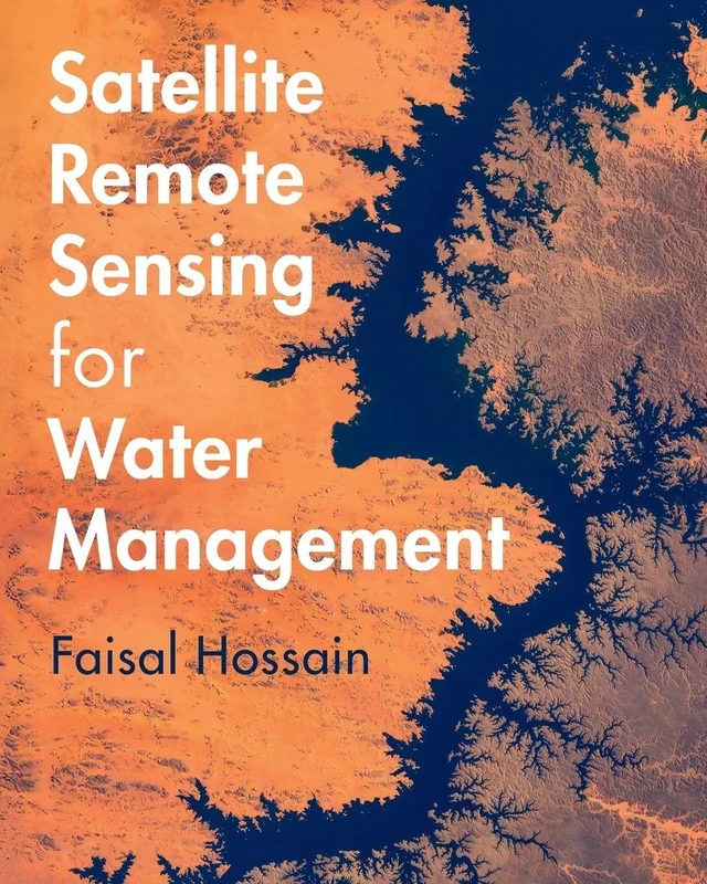
Satellite Remote Sensing for Water Management
Cambridge University Press
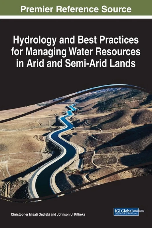
Hydrology and Best Practices for Managing Water Resources in Arid and Semi-Arid Lands (Advances in Environmental Engineering and Green Technologies (AEEGT))
IGI Global
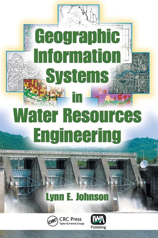
Geographic Information Systems in Water Resources Engineering
CRC Press
World Water Resources at the Beginning of the Twenty-First Century (International Hydrology Series)
Cambridge University Press
Recent Trends in Water Research: Remote Sensing and General Perspectives
CRC Press Water Resources Systems Analysis - Engineering Text
CRC Press
Hydrologic Remote Sensing: Capacity Building for Sustainability and Resilience
CRC Press
Water Resource Modeling and Computational Technologies: Volume 7 (Current Directions in Water Scarcity Research, Volume 7)
Elsevier
Hydrological Applications of GIS (Advances in Hydrological Processes)
Wiley
Water Resources Management
CRC Press
Sustainable Water Resources Planning and Management Under Climate Change
Springer
GIS Applications for Water, Wastewater, and Stormwater Systems
CRC Press
Global Water Resource Issues
Cambridge University Press
The Role of Technology in Water Resources Planning and Management
American Society of Civil Engineers
Hydrology and Water Resource Management: Breakthroughs in Research and Practice
IGI Global

Principles of Water Resources: History, Development, Management, and Policy
Wiley
Hydrology and Water Resources of India: 57 (Water Science and Technology Library, 57)
Springer

Elsevier Water Scarcity, Contamination and Management Vol 5
Elsevier

USING HYDROLOGICAL MODELS IN THE MANAGEMENT OF A SEMI ARID WATERSHED: Under the Umbrella of GIS
LAP Lambert Academic Publishing