We can't find the internet
Attempting to reconnect
Something went wrong
Hang in there while we get back on track

£113.31
It has never been this cheap. We have no record of a lower price.
£113 today · cheaper than every other day in the last 3 months
Springer Remote Sensing for Infrastructure Monitoring Book
We'll watch every seller, every day. One email when your price arrives.
Price History & Forecast
Grey patches = out of stock. Cheaper = lower on the chart. Hover for exact prices.
Last 17 days · 17 data points (no recent data)
NEW HERE?
Amazon shows you one price. We show you all of them.
Tosheroon watches Amazon prices so you don't have to. Every product on Amazon has a price history — we make it visible. Set the price you'd actually pay, and we'll email you the second it gets there. No app, no account, one email.
WHAT'S ON THIS PAGE
when this has been cheap or pricey
where the price is heading next
all-time high & low, recent range
name your number, we'll email you
Price Distribution
Price distribution over 17 days • 1 price levels
Price Analysis
Most common price: £113 (17 days, 100.0%)
Price range: £113 - £113
Price levels: 1 different prices over 17 days
Description
Key Features
This Springer publication provides international case studies focused on practical and advanced infrastructure monitoring methods.
The text integrates satellite images with airborne, drone, and field data to provide a complete monitoring perspective.
Expert international contributors present advanced methods using InSAR and high-resolution optical and radar imagery.
Content covers specialized technical applications including LIDAR, UAV, and various geophysical techniques.
The volume addresses the growing need for robust monitoring to manage climate change impacts on global infrastructure.
Product Specifications
- Brand
- Springer
- Format
- hardcover
- ASIN
- 3030591085
- Domain
- Amazon UK
- Release Date
- 24 December 2020
- Listed Since
- 07 August 2020
Barcode
No barcode data available
Similar Products You Might Like

Advances in Mapping from Remote Sensor Imagery: Techniques and Applications
CRC Press

Optical Remote Sensing of Land Surface: Techniques and Methods
Elsevier

Proceedings of UASG 2019: Unmanned Aerial System in Geomatics: 51 (Lecture Notes in Civil Engineering, 51)
Springer

Proceedings of UASG 2019: Unmanned Aerial System in Geomatics: 51 (Lecture Notes in Civil Engineering, 51)
Springer

Elsevier Multi-Dimensional Imaging with SAR Textbook
Elsevier
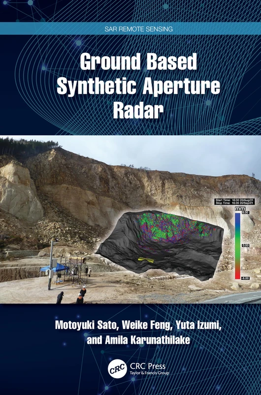
Ground Based Synthetic Aperture Radar (SAR Remote Sensing)
CRC Press

Urban Deformation Monitoring using Persistent Scatterer Interferometry and SAR tomography
MDPI AG

Spaceborne Synthetic Aperture Radar Remote Sensing: Techniques and Applications
CRC Press
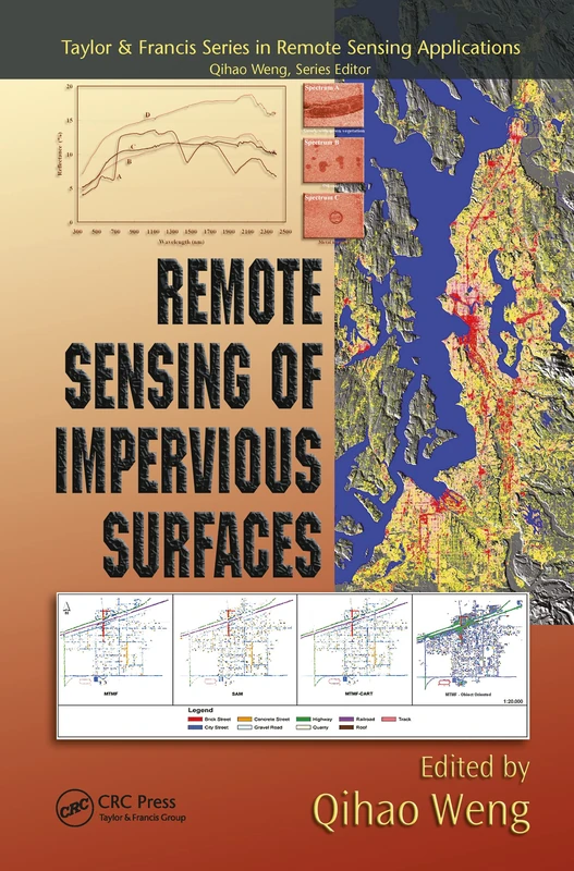
Remote Sensing of Impervious Surfaces - Geospatial Technology Guide
CRC Press

Non-Destructive Techniques for the Evaluation of Structures and Infrastructure: 11
CRC Press
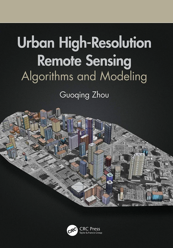
Urban High-Resolution Remote Sensing: Algorithms and Modeling
CRC Press

Spaceborne Synthetic Aperture Radar Remote Sensing: Techniques and Applications
CRC Press

Remote Sensing Handbook, Volume II: Image Processing, Change Detection, GIS, and Spatial Data Analysis: 2
CRC Press

Remote Sensing for Hazard Monitoring and Disaster Assessment: Marine and Coastal Applications in the Mediterranean Region: 2 (Classics of Soviet Mathematics,)
CRC Press

Guilford Press Introduction to Remote Sensing, 6th Edition
The Guilford Press

Advances in Aerial Sensing and Imaging
Wiley

Advanced Remote Sensing: Terrestrial Information Extraction, 2nd Edition
Elsevier

SAR Image Interpretation for Various Land Covers: A Practical Guide
CRC Press
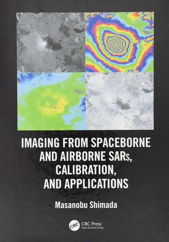
Imaging from Spaceborne and Airborne SARs, Calibration, and Applications (SAR Remote Sensing)
CRC Press

Imaging from Spaceborne and Airborne SARs, Calibration, and Applications (SAR Remote Sensing)
CRC Press
Remote Sensing of Urban and Suburban Areas: 10 (Remote Sensing and Digital Image Processing, 10)
Springer
Satellite Radar Interferometry: Subsidence Monitoring Techniques: 14 (Remote Sensing and Digital Image Processing, 14)
Springer

Surface Models for Geosciences (Lecture Notes in Geoinformation and Cartography)
Springer

Sensor Technologies for Civil Infrastructures: Volume 2: Applications in Structural Health Monitoring (Woodhead Publishing Series in Civil and Structural Engineering)
Elsevier