We can't find the internet
Attempting to reconnect
Something went wrong
Hang in there while we get back on track
£89.04
CRC Press SAR Image Interpretation for Various Land Covers: A Practical Guide
Price data last checked 14 day(s) ago - will refresh soon
We'll watch every seller, every day. One email when your price arrives.
About as cheap as it gets. The only time it was cheaper was 3 months ago.
£89 today · all-time low £86 (Apr 2026) · usually £91
NEW HERE?
Amazon shows you one price. We show you all of them.
Tosheroon watches Amazon prices so you don't have to. Every product on Amazon has a price history — we make it visible. Set the price you'd actually pay, and we'll email you the second it gets there. No app, no account, one email.
WHAT'S ON THIS PAGE
when this has been cheap or pricey
where the price is heading next
all-time high & low, recent range
name your number, we'll email you
Price History & Forecast
Grey patches = out of stock. Cheaper = lower on the chart. Hover for exact prices.
Last 77 days · 77 data points (no recent data)
Price Distribution
Price distribution over 77 days • 3 price levels
Price Analysis
Most common price: £86 (43 days, 55.8%)
Price range: £86 - £91
Price levels: 3 different prices over 77 days
Description
Product Specifications
- Brand
- CRC Press
- Format
- hardcover
- ASIN
- 0367209969
- Domain
- Amazon UK
- Release Date
- 16 December 2019
- Listed Since
- 24 August 2019
Barcode
No barcode data available
Similar Products You Might Like
Polarimetric SAR Imaging: Theory and Applications (SAR Remote Sensing)
CRC Press
Design Technology of Synthetic Aperture Radar (IEEE Press)
Wiley-IEEE Press
SAR Image Analysis - A Computational Statistics Approach: With R Code, Data, and Applications
Wiley-IEEE Press
Spaceborne Synthetic Aperture Radar Remote Sensing: Techniques and Applications
CRC Press
Academic Press Advanced Remote Sensing - 2nd Edition Book
Academic Press
Advanced Remote Sensing: Terrestrial Information Extraction and Applications
Academic Press
Imaging from Spaceborne and Airborne SARs, Calibration, and Applications (SAR Remote Sensing)
CRC Press

Imaging from Spaceborne and Airborne SARs, Calibration, and Applications (SAR Remote Sensing)
CRC Press
Fundamentals of Satellite Remote Sensing: An Environmental Approach, Third Edition
CRC Press

Wiley-IEEE Press Remote Sensing with Polarimetric Radar Book
Wiley-IEEE Press
Advances in Mapping from Remote Sensor Imagery: Techniques and Applications
CRC Press
The Millimeter Wave Synthetic Aperture Radar Technology
Springer
Surface Models for Geosciences (Lecture Notes in Geoinformation and Cartography)
Springer
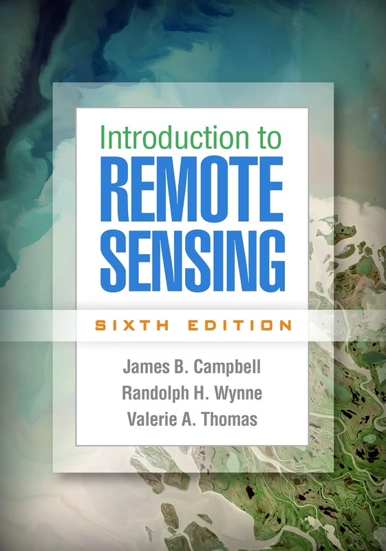
Introduction to Remote Sensing, Sixth Edition
The Guilford Press
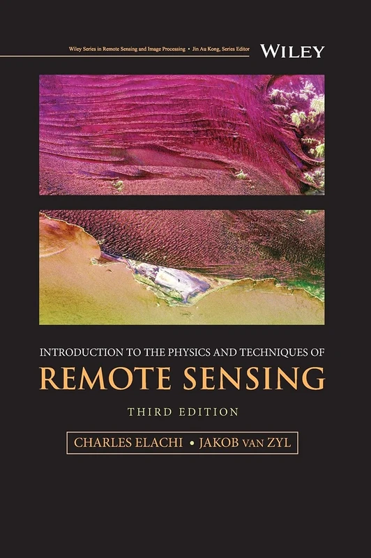
Introduction to the Physics and Techniques of Remote Sensing (Wiley Series in Remote Sensing and Image Processing)
Wiley
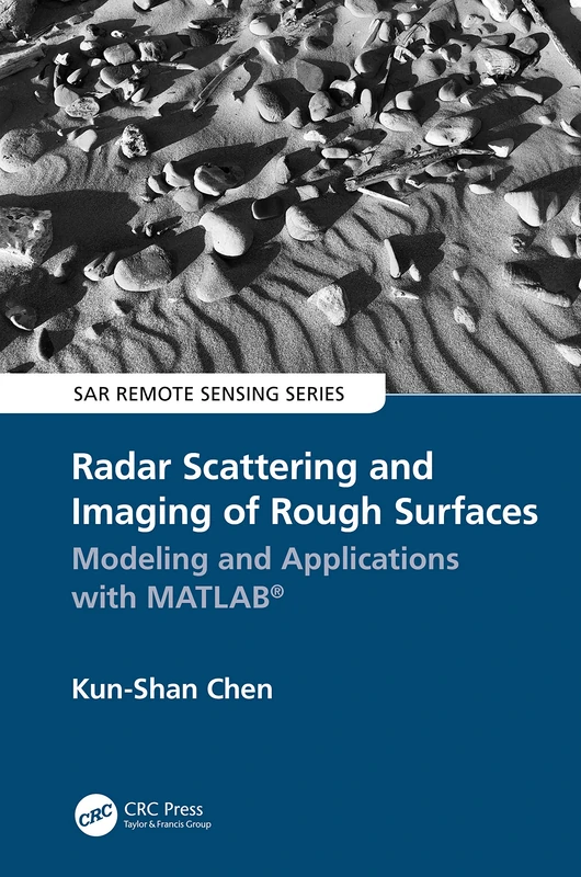
Radar Scattering and Imaging of Rough Surfaces: Modeling and Applications with MATLAB® (SAR Remote Sensing)
CRC Press
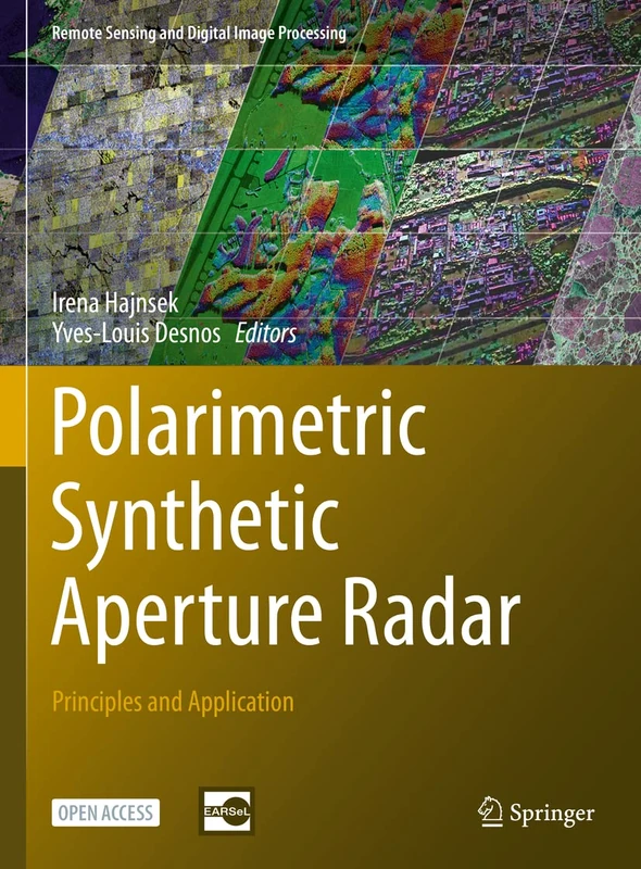
Polarimetric Synthetic Aperture Radar: Principles and Application: 25 (Remote Sensing and Digital Image Processing, 25)
Springer

Remote Sensing Time Series: Revealing Land Surface Dynamics: 22 (Remote Sensing and Digital Image Processing, 22)
Springer
Radar Imaging for Maritime Observation (Signal and Image Processing of Earth Observations)
CRC Press