We can't find the internet
Attempting to reconnect
Something went wrong!
Hang in there while we get back on track

£15.99
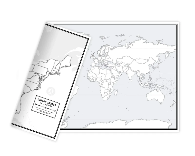
Maps International UK Map Poster - A1 Wall Map with Write-on Finish
White, 39.99
Price data last checked 47 day(s) ago - refreshing...
We'll watch every seller, every day. One email when your price arrives.
It has never been this cheap. We have no record of a lower price.
£16 today · cheaper than every other day in the last 3 months
NEW HERE?
Amazon shows you one price. We show you all of them.
Tosheroon watches Amazon prices so you don't have to. Every product on Amazon has a price history — we make it visible. Set the price you'd actually pay, and we'll email you the second it gets there. No app, no account, one email.
WHAT'S ON THIS PAGE
when this has been cheap or pricey
where the price is heading next
all-time high & low, recent range
name your number, we'll email you
Price History & Forecast
Grey patches = out of stock. Cheaper = lower on the chart. Hover for exact prices.
Last 44 days • 44 data points (No recent data available)
Price Distribution
Price distribution over 44 days • 1 price levels
Price Analysis
Most common price: £16 (44 days, 100.0%)
Price range: £16 - £16
Price levels: 1 different prices over 44 days
Description
Key Features
Educational Design: Created by expert cartographers, this large UK map features counties in different classic tones, making it a perfect educational tool for home or office use.
https://tosheroon.com/uk/1138849243
Large A1 Size: Measuring 84 (w) x 59 (h) cm, this poster-sized map provides a clear and detailed view of the United Kingdom.
Versatile Decor: The beautifully styled design and classic tones allow this map to blend seamlessly with any home or professional decor.
Creaseless Delivery: Your map is delivered rolled in a tube to ensure it arrives in perfect condition and is ready to display without creases.
Quality Cartography: Produced by Maps International, this map combines aesthetic appeal with accurate geographical representation.
Product Specifications
- Brand
- Maps International
- Model
- 39.99
- Colour
- White
- Format
- map
- ASIN
- 1912203847
- Domain
- Amazon UK
- Publication Date
- 01 September 2023
- Listed Since
- 04 August 2017
Barcode
No barcode data available
Similar Products You Might Like
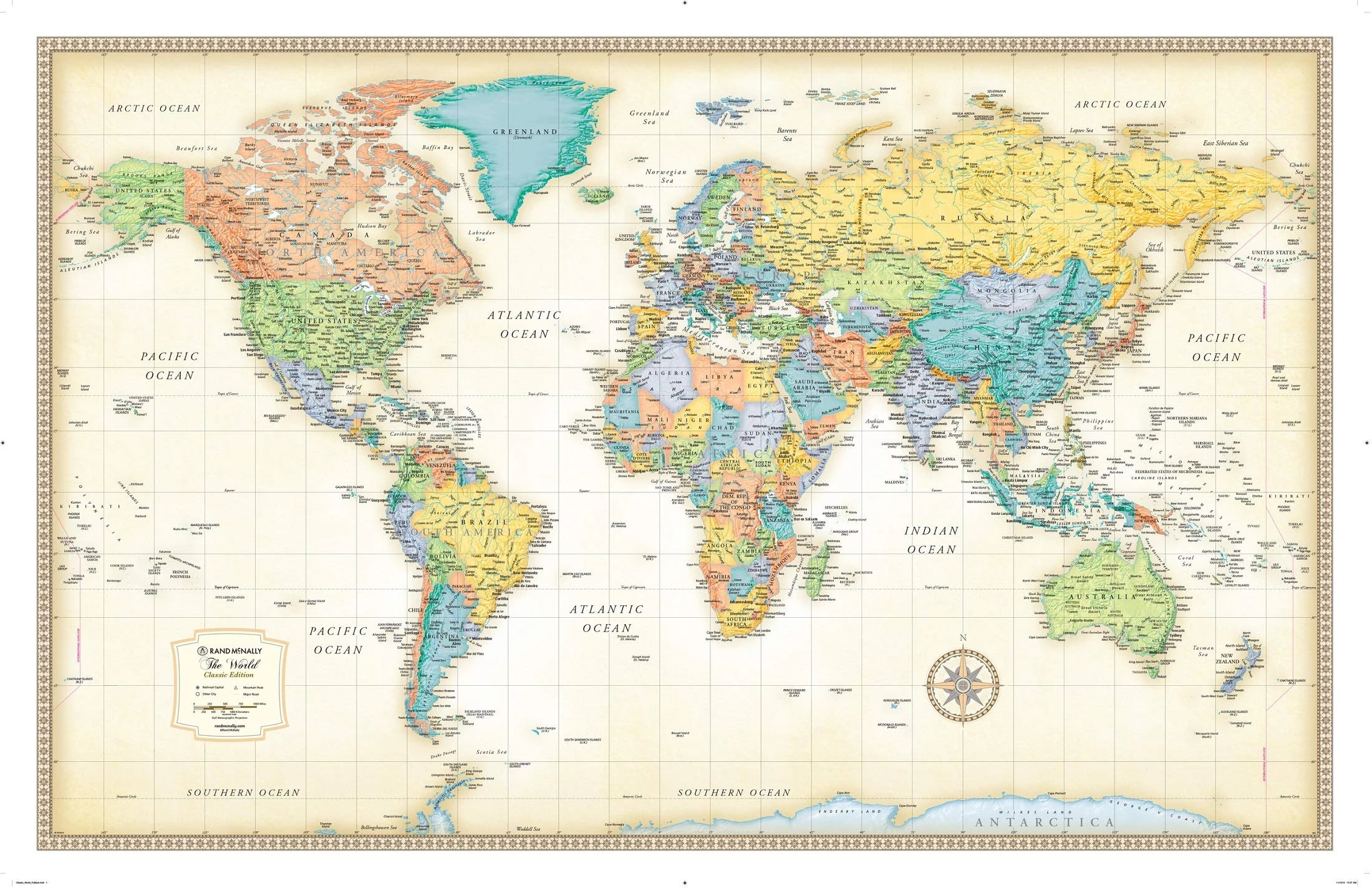
Rand McNally Classic World Wall Map - Laminated, 50x32 Inch
Rand McNally
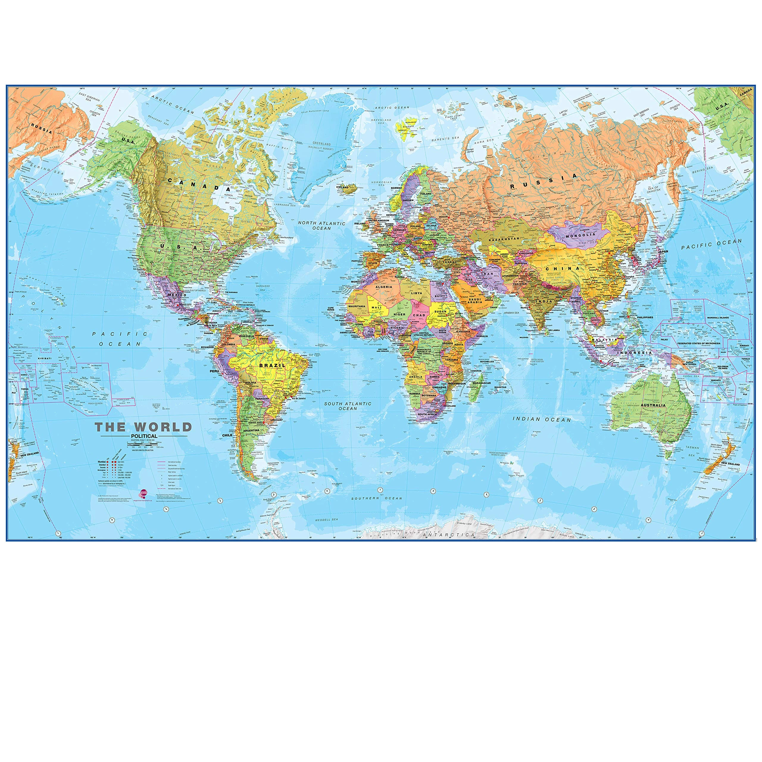
Maps International Giant World Map - 201cm x 116.5cm Laminated
Maps International

Great British Bucket List Map | Marvellous Maps | Adventure Gifts | Discover Britain
Marvellous Maps
Historian's Guide to Early British Maps: A Guide to the Location of Pre-1900 Maps of the British Isles Preserved in the United Kingdom and Ireland: 18 ... Guides and Handbooks, Series Number 18)
Cambridge University Press
Historical Dictionary of the United Kingdom: Scotland, Wales, and Northern Ireland, Volume 2: 002 (Historical Dictionaries of Europe)
Scarecrow Press
When France Was King of Cartography: The Patronage and Production of Maps in Early Modern France (Toposophia: Thinking Place/Making Space)
Lexington Books
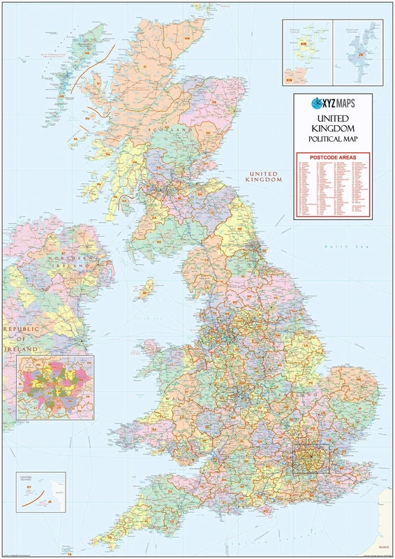
XYZ Maps UK Postcode Areas Wall Map – 100 cm x 141 cm – England, Scotland & Wales – Political Postcode Regions – 120gsm Art Paper – Ideal for Office, Classroom & Planning Use
XYZ Maps
The 2007 Import and Export Market for Printed Maps, Hydrographic Charts, Wall Maps, Topographical Plans, and Globes Excluding Book Form in United Kingdom
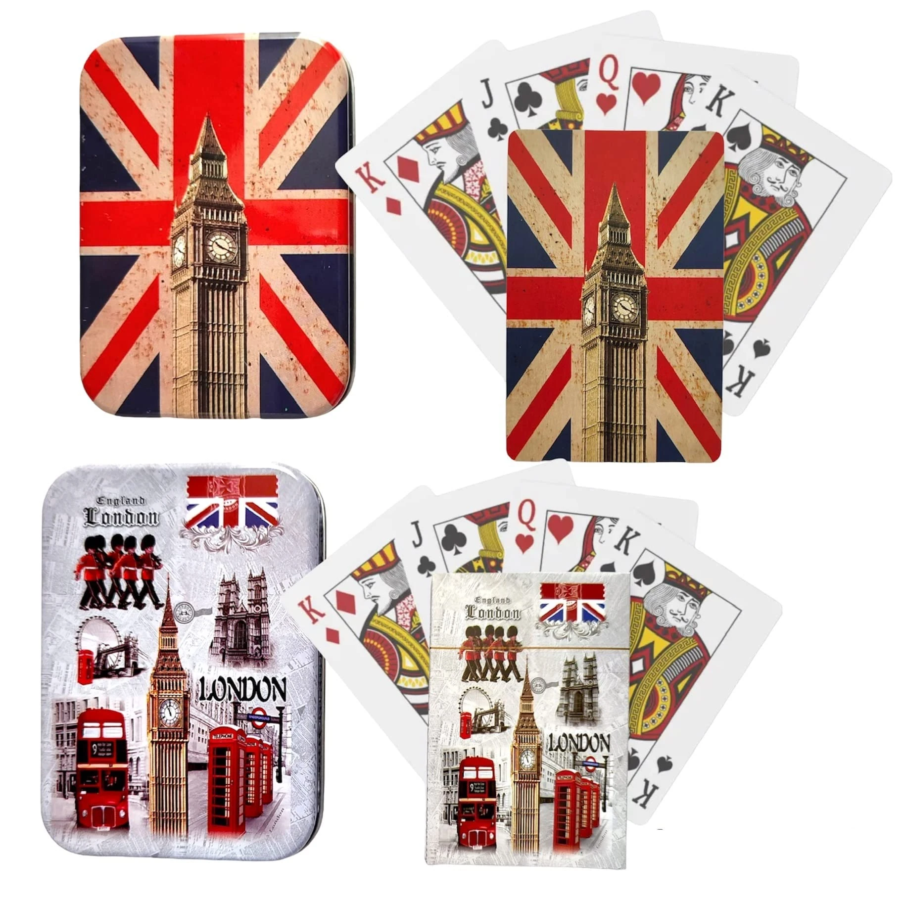
Souvenirs 2 Pack London Landmarks & Union Jack Playing Cards
Souvenirs
A History of Spaces: Cartographic Reason, Mapping and the Geo-Coded World (Frontiers of Human Geography)
Routledge
Maps – Finding Our Place in the World
University of Chicago Press
India Through Iconic Maps
Acc Art Books

Great British History Map | Historical Map & Guide | Marvellous Maps | History Gifts | Adventure | Trivia
Marvellous Maps

World Map Poster Wall Art for Office Decor Vintage Photos Canvas Prints Nautical Large Modern Framed Map of The World Canvas Wall Art Maps Pictures for Living Room Home Decor 24 x 48 Inches
Moyedecor Art
This Way Up by The Map Men - Sunday Times Bestseller Book
Mudlark
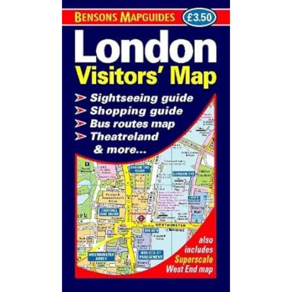
London Visitors' Map
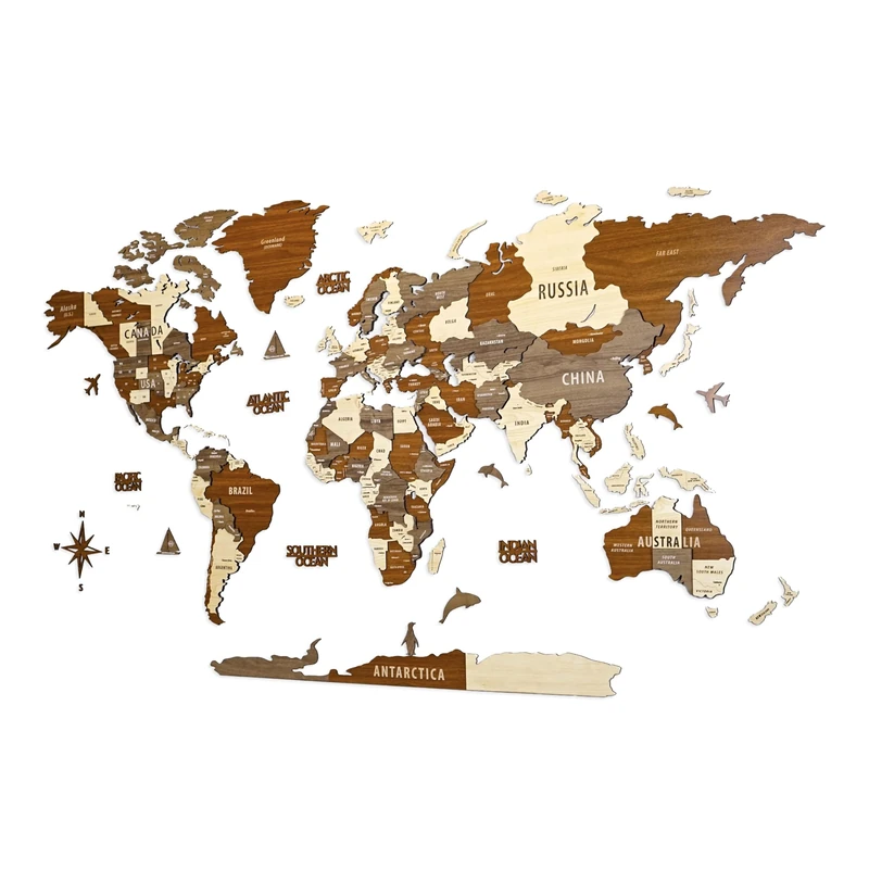
Multilayered 3D Wooden World Map, Travel Map with States and Capitals, Wall Decor For The New House, Gift For Travelers, Office Decor, Birthday Present, Living Room Decoration, Gift for Boys,
Colorfull Worlds
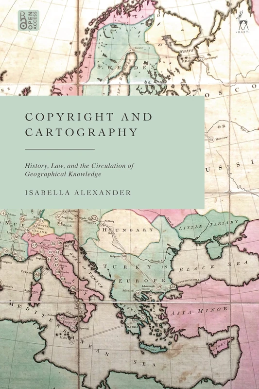
Copyright and Cartography: History, Law, and the Circulation of Geographical Knowledge
Hart Publishing
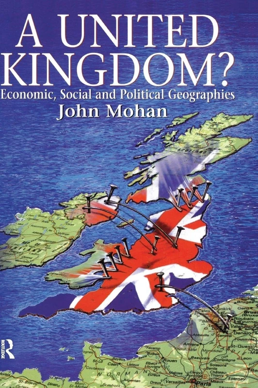
A United Kingdom?: Economic, Social and Political Geographies (Hodder Arnold Publication)
Routledge
Grand Atlas du Monde
Uniting the Kingdom?: The Making of British History
Routledge
Great Britain: Geographical Essays
Cambridge University Press
The 2007 Import and Export Market for Writing, Drawing, and Other Inks Excluding Printing Ink in United Kingdom
Educational Blank Outline Maps, 2-Sided World & US, 17" x 11", 50-Pack | Great Blank Map Worksheets for Classroom or Home Study | Laminated Answer Sheet Included | Map Packs are Perfect Desk Size
South of Kings