We can't find the internet
Attempting to reconnect
Something went wrong
Hang in there while we get back on track
£39.64
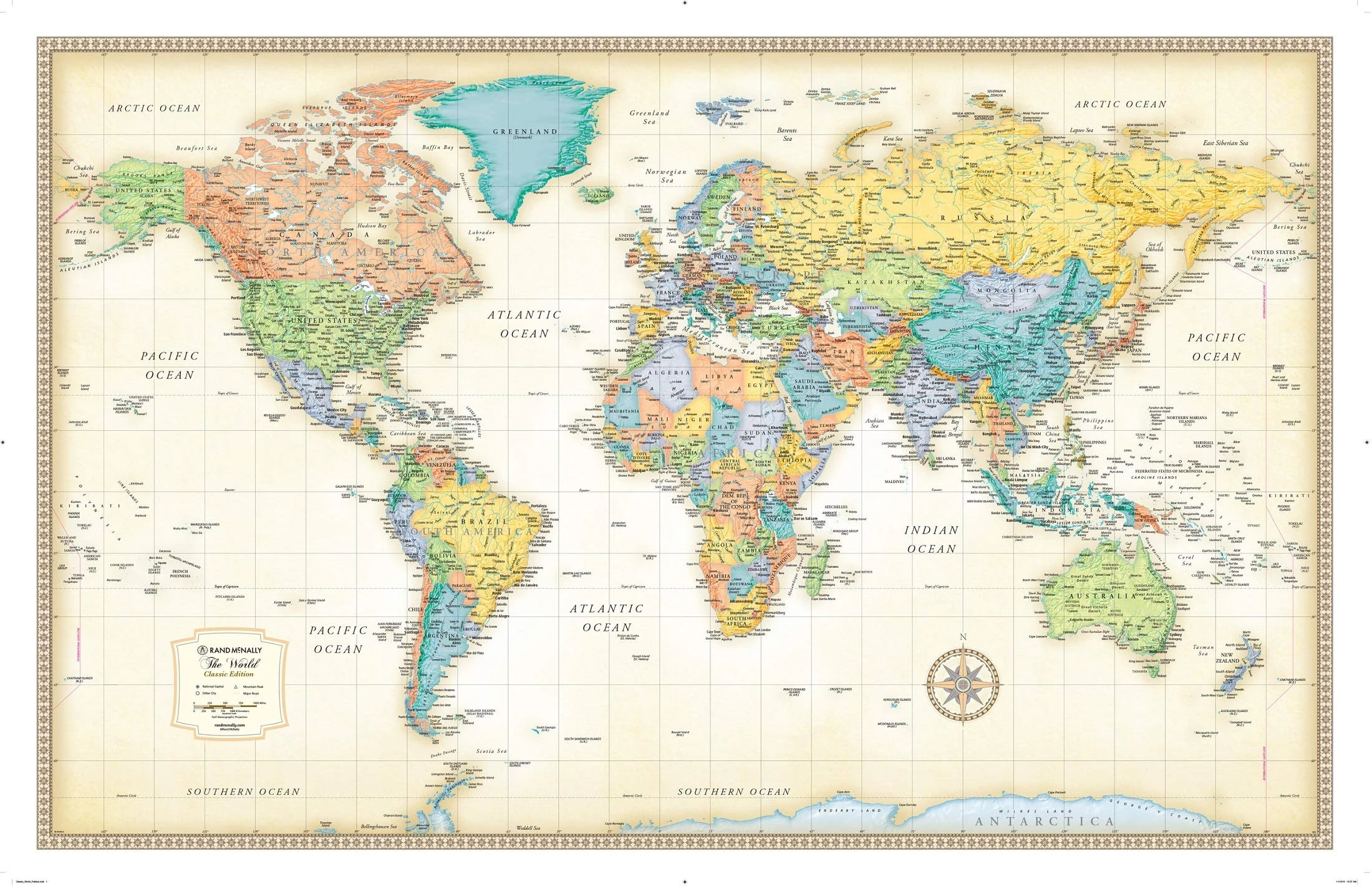
Rand McNally Classic World Wall Map - Laminated, 50x32 Inch
Multicolor, 0528013769
Price data checked 2 days ago
We'll watch every seller, every day. One email when your price arrives.
Pricier than usual. £2 more than the 30-day average — we'd wait.
£40 today · 30-day average £38 · all-time low £32
NEW HERE?
Amazon shows you one price. We show you all of them.
Tosheroon watches Amazon prices so you don't have to. Every product on Amazon has a price history — we make it visible. Set the price you'd actually pay, and we'll email you the second it gets there. No app, no account, one email.
WHAT'S ON THIS PAGE
when this has been cheap or pricey
where the price is heading next
all-time high & low, recent range
name your number, we'll email you
Price History & Forecast
Grey patches = out of stock. Cheaper = lower on the chart. Hover for exact prices.
Last 89 days · 89 data points
Price Distribution
Price distribution over 89 days • 6 price levels
Price Analysis
Most common price: £34 (38 days, 42.7%)
Price range: £32 - £40
Price levels: 6 different prices over 89 days
Description
Key Features
Parchment-like paper with rich, subdued colors creates a sophisticated old-world style perfect for framing.
Completely up-to-date map data from 2022 ensures accuracy for travel planning and educational use.
Color-matching relief clearly shows topographical changes and helps identify mountain ranges easily.
Centered on Africa to display countries complete and intact without cutting off borders.
Antique-style accents provide an upscale look and feel that enhances any office or home decor.
Measures 50 inches by 32 inches, offering a large, clear view of the entire world.
Ships rolled in a sturdy tube with a cap to protect the map during shipping and storage.
Product Specifications
- Brand
- Rand McNally
- Model
- 0528013769
- Colour
- Multicolor
- Size
- 50" X 32"
- Format
- map
- ASIN
- 0528013769
- Category
- Books > Subjects > Travel & Holiday
- Domain
- Amazon UK
- Release Date
- 03 December 2021
- Listed Since
- 10 June 2015
Barcode
No barcode data available