We can't find the internet
Attempting to reconnect
Something went wrong
Hang in there while we get back on track
£47.49
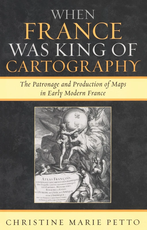
Lexington Books When France Was King of Cartography: The Patronage and Production of Maps in Early Modern France (Toposophia: Thinking Place/Making Space)
Price data last checked 39 day(s) ago - refreshing...
We'll watch every seller, every day. One email when your price arrives.
It has never been this cheap. We have no record of a lower price.
£47 today · cheaper than every other day in the last 3 months
NEW HERE?
Amazon shows you one price. We show you all of them.
Tosheroon watches Amazon prices so you don't have to. Every product on Amazon has a price history — we make it visible. Set the price you'd actually pay, and we'll email you the second it gets there. No app, no account, one email.
WHAT'S ON THIS PAGE
when this has been cheap or pricey
where the price is heading next
all-time high & low, recent range
name your number, we'll email you
Price History & Forecast
Grey patches = out of stock. Cheaper = lower on the chart. Hover for exact prices.
Last 52 days · 52 data points (no recent data)
Price Distribution
Price distribution over 52 days • 2 price levels
Price Analysis
Most common price: £50 (39 days, 75.0%)
Price range: £47 - £50
Price levels: 2 different prices over 52 days
Description
Product Specifications
- Brand
- Lexington Books
- Format
- paperback
- ASIN
- 0739117769
- Domain
- Amazon UK
- Release Date
- 16 February 2007
- Listed Since
- 04 January 2007
Barcode
No barcode data available
Similar Products You Might Like

When France Was King of Cartography: The Patronage and Production of Maps in Early Modern France (Toposophia: Sustainability, Dwelling, Design) (Toposophia: Thinking Place/Making Space)
Lexington Books
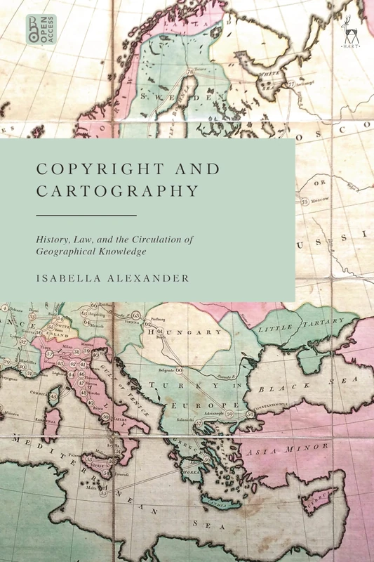
Copyright and Cartography: History, Law, and the Circulation of Geographical Knowledge
Hart Publishing
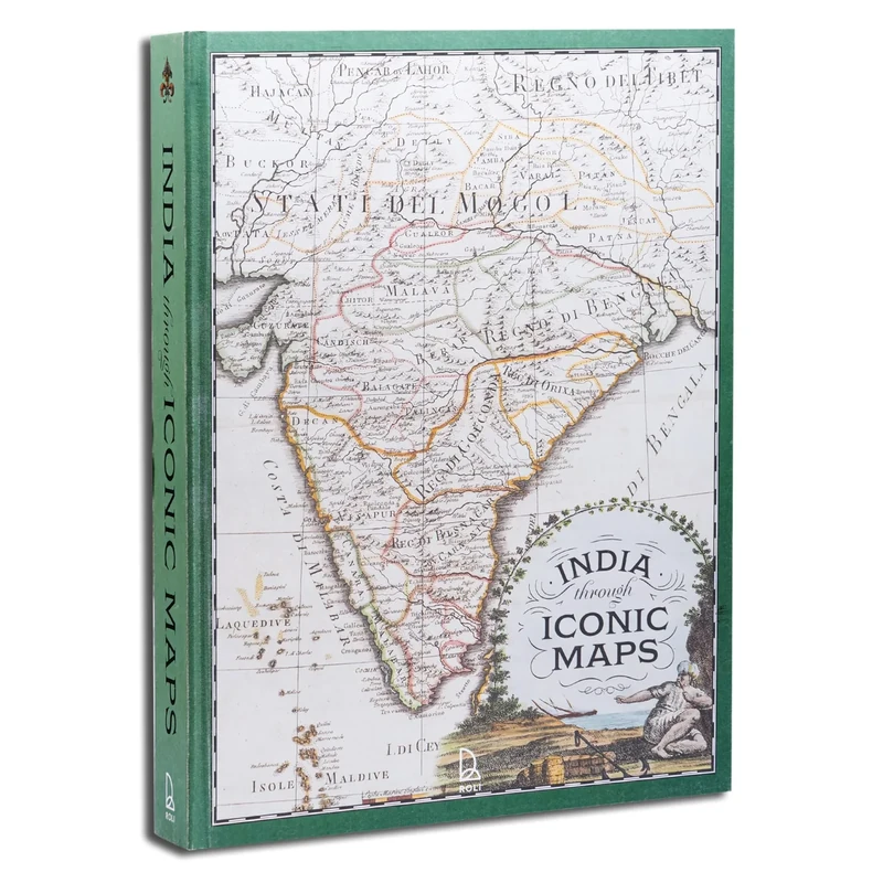
India Through Iconic Maps
Acc Art Books
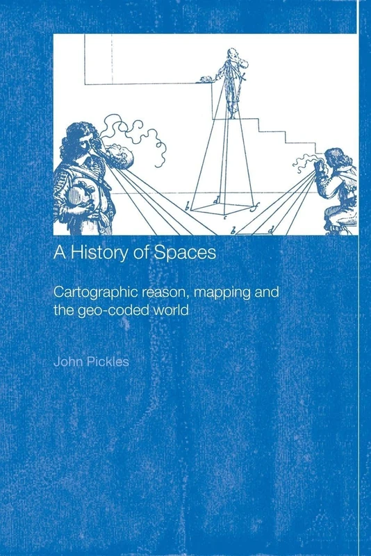
A History of Spaces: Cartographic Reason, Mapping and the Geo-Coded World (Frontiers of Human Geography)
Routledge
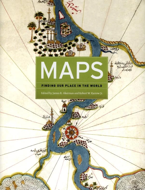
Maps – Finding Our Place in the World
University of Chicago Press
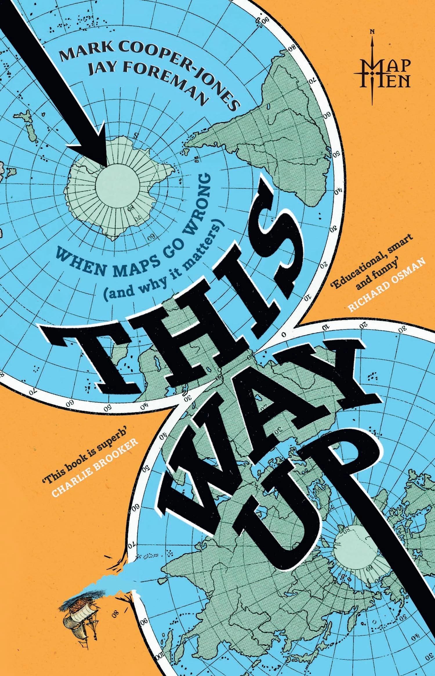
This Way Up by The Map Men - Sunday Times Bestseller Book
Mudlark

Eric Voegelins Asian Political Thought (Political Theory for Today)
Lexington Books

The New Brazilian Mediascape: Television Production in the Digital Streaming Age (Reframing Media, Technology, and Culture in Latin/o America)
University of Florida Press

The Politics of Female Households: Ladies-in-waiting across Early Modern Europe: 4 (Rulers & Elites, 4)
Brill

Envisioning Human Geographies (Arnold Publication)
Routledge

Routledge Remaking Reality: Nature at the Millennium Book
Routledge

The Italian City-State: From Commune to Signoria
Oxford University Press

Evidence of the Old World

Media and Public Policy (Praeger Political Communication)
Praeger

The Shaping of Africa: Cosmographic Discourse and Cartographic Science in Late Medieval and Early Modern Europe (Routledge Revivals)
Routledge

Beyond Exception: New Interpretations of the Arabian Peninsula
Cornell University Press

Literature and Literary Theory in Contemporary China (China Perspectives)
Routledge
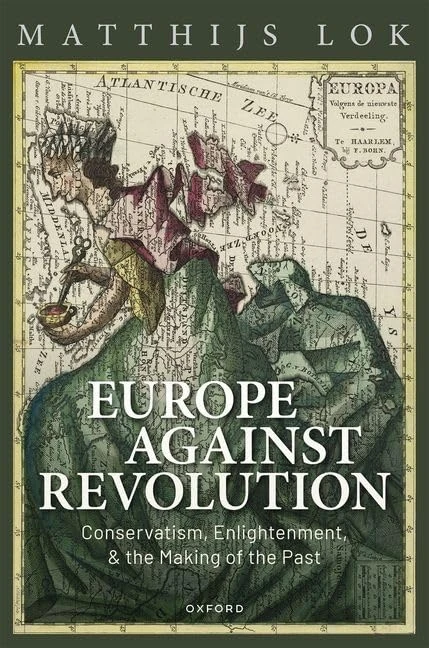
Europe against Revolution: Conservatism, Enlightenment, and the Making of the Past
Oxford University Press

Beyond Security, Ethics and Violence: War Against the Other
Routledge
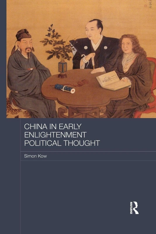
China in Early Enlightenment Political Thought (Routledge Studies in Social and Political Thought)
Routledge

Bloomsbury - The Golden Road: Ancient India History Book
Bloomsbury

Conflicts and New Departures in World Society: World Society Studies: 003
Routledge
Joan Blaeu: Atlas Maior of 1665
Taschen

Routledge National Identities in France - History Book
Routledge