We can't find the internet
Attempting to reconnect
Something went wrong!
Hang in there while we get back on track
£117.00
Brill - Bodies and Maps: Early Modern Personifications (73)
Price data checked 6 days ago
We'll watch every seller, every day. One email when your price arrives.
It has never been this cheap. We have no record of a lower price.
£117 today · cheaper than every other day in the last 3 months
NEW HERE?
Amazon shows you one price. We show you all of them.
Tosheroon watches Amazon prices so you don't have to. Every product on Amazon has a price history — we make it visible. Set the price you'd actually pay, and we'll email you the second it gets there. No app, no account, one email.
WHAT'S ON THIS PAGE
when this has been cheap or pricey
where the price is heading next
all-time high & low, recent range
name your number, we'll email you
Price History & Forecast
Grey patches = out of stock. Cheaper = lower on the chart. Hover for exact prices.
Last 85 days • 85 data points (No recent data available)
Price Distribution
Price distribution over 85 days • 2 price levels
Price Analysis
Most common price: £117 (68 days, 80.0%)
Price range: £117 - £134
Price levels: 2 different prices over 85 days
Description
Key Features
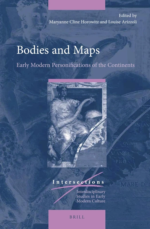
Examines how early modern European artists used the human body to visualize different continents.
Part of the scholarly Intersections series, specifically volume 73.
Analyzes the use of female and male personifications to represent newly encountered peoples.
Provides a deeper look at the complexities behind common historical stereotypes in art.
Published by Brill, a leading name in academic and professional literature.
Product Specifications
- Brand
- Brill
- Format
- hardcover
- ASIN
- 9004387900
- Domain
- Amazon UK
- Release Date
- 10 December 2020
- Listed Since
- 03 June 2020
Barcode
No barcode data available
Similar Products You Might Like
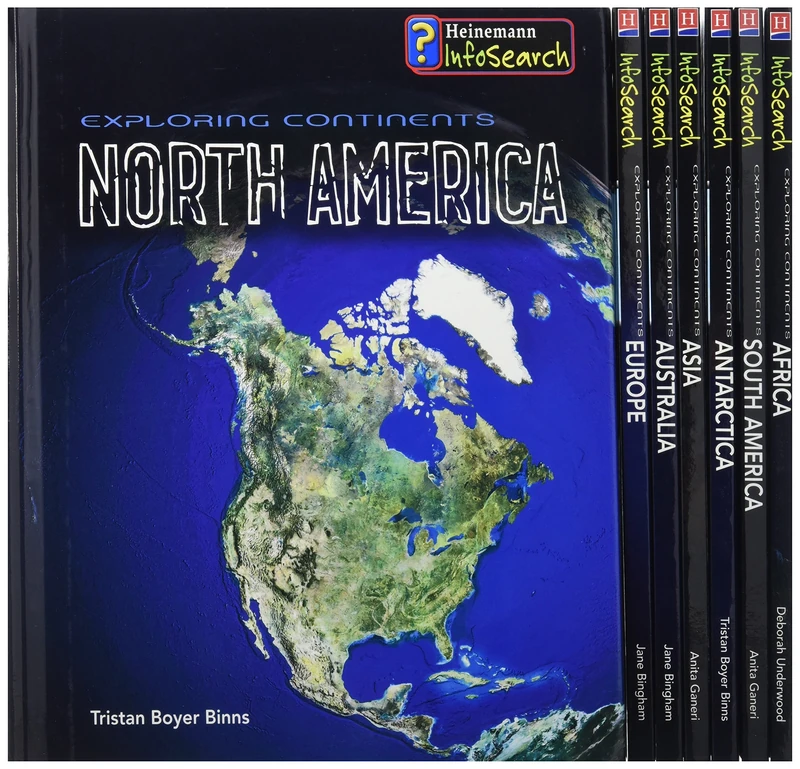
Exploring Continents: Pack A (Infosearch: Exploring Continents)

Dora Budor: Continent
KÖNIG, WALTHER
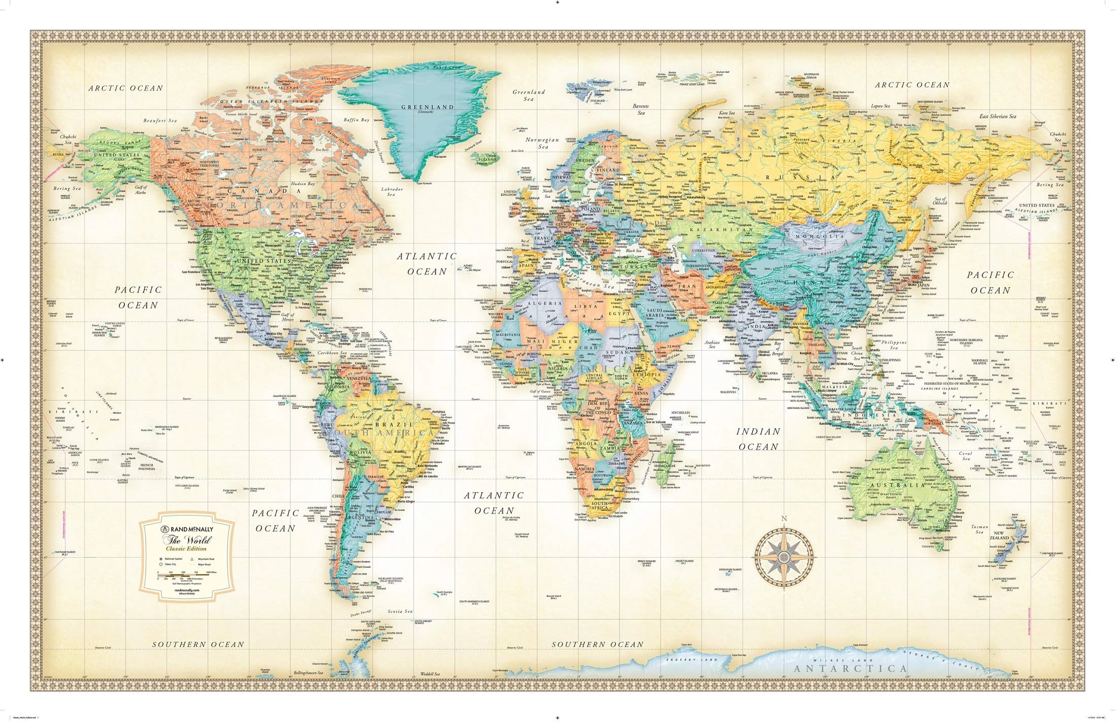
Rand McNally Classic World Wall Map - Laminated, 50x32 Inch
Rand McNally
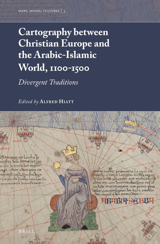
Cartography between Christian Europe and the Arabic-Islamic World, 1100-1500: Divergent Traditions: 3 (Maps, Spaces, Cultures, 3)
Brill
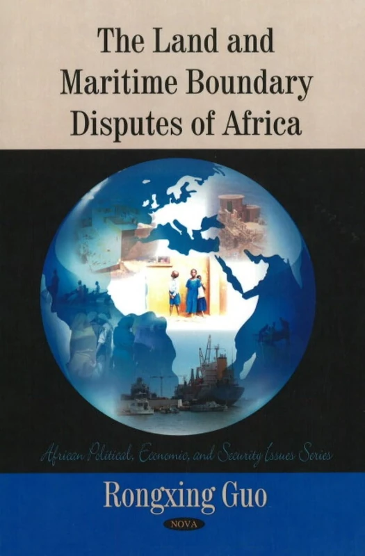
Land & Maritime Boundary Disputes of Africa (African Political, Economic, and Security Issues Series)
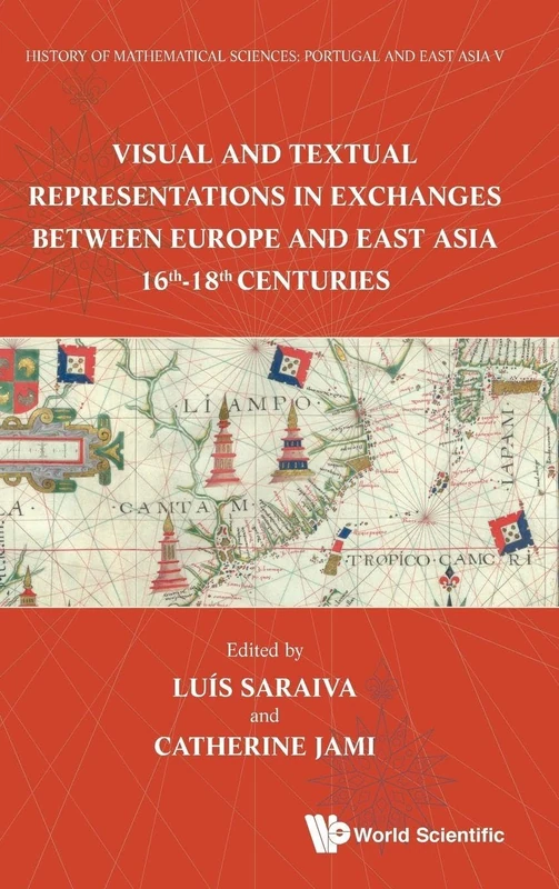
History Of Mathematical Sciences: Portugal And East Asia V - Visual And Textual Representations In Exchanges Between Europe And East Asia 16th - 18th ... and East Asia V National Tsing Hua Univ
Scientific Publishing

Elementary Geography & Cultures Set
Master Books
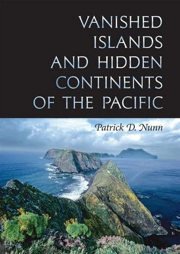
Vanished Islands and Hidden Continents of the Pacific (Latitude 20 Book)
University of Hawaii Press
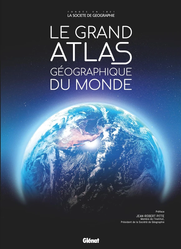
Le Grand Atlas géographique du monde 6e ed
GLENAT JEUNESSE
Henricus Martellus’s World Map at Yale (c. 1491): Multispectral Imaging, Sources, and Influence (Historical Geography and Geosciences)
Springer
Continuum Guide to Geography Education (Continuum guides to the curriculum)
Continuum
Land & Maritime Boundary Disputes of Asia (Asian Political, Economic and Security Issues)
The West and the Map of the World: A Reappraisal of the Past
A History of Spaces: Cartographic Reason, Mapping and the Geo-Coded World (Frontiers of Human Geography)
Routledge
India Through Iconic Maps
Acc Art Books
The Earth and Its Peoples: A Global History (Mindtap Course List)
Cengage Learning