We can't find the internet
Attempting to reconnect
Something went wrong!
Hang in there while we get back on track
£40.97
GeoAI with Python: A Practical Guide to Open-Source Geospatial AI
Price data last checked 52 day(s) ago - refreshing...
We'll watch every seller, every day. One email when your price arrives.
It has never been this cheap. We have no record of a lower price.
£41 today · cheaper than every other day in the last 3 months
NEW HERE?
Amazon shows you one price. We show you all of them.
Tosheroon watches Amazon prices so you don't have to. Every product on Amazon has a price history — we make it visible. Set the price you'd actually pay, and we'll email you the second it gets there. No app, no account, one email.
WHAT'S ON THIS PAGE
when this has been cheap or pricey
where the price is heading next
all-time high & low, recent range
name your number, we'll email you
Price History & Forecast
Grey patches = out of stock. Cheaper = lower on the chart. Hover for exact prices.
Last 34 days • 26 data points (No recent data available)
Price Distribution
Price distribution over 34 days • 2 price levels
Price Analysis
Most common price: £44 (23 days, 88.5%)
Price range: £41 - £44
Price levels: 2 different prices over 26 days
Description
Product Specifications
- Format
- paperback
- ASIN
- B0GTVFY3PQ
- Domain
- Amazon UK
- Release Date
- 24 March 2026
- Listed Since
- 25 March 2026
Barcode
No barcode data available
Similar Products You Might Like
Image Analysis, Classification and Change Detection in Remote Sensing: With Algorithms for Python
CRC Press

Object and Pattern Recognition in Remote Sensing: Modelling and Monitoring Environmental and Anthropogenic Objects and Change Processes
Advances in Machine Learning and Image Analysis for GeoAI
Elsevier
Deep Learning for Remote Sensing Images with Open Source Software (Signal and Image Processing of Earth Observations)
CRC Press
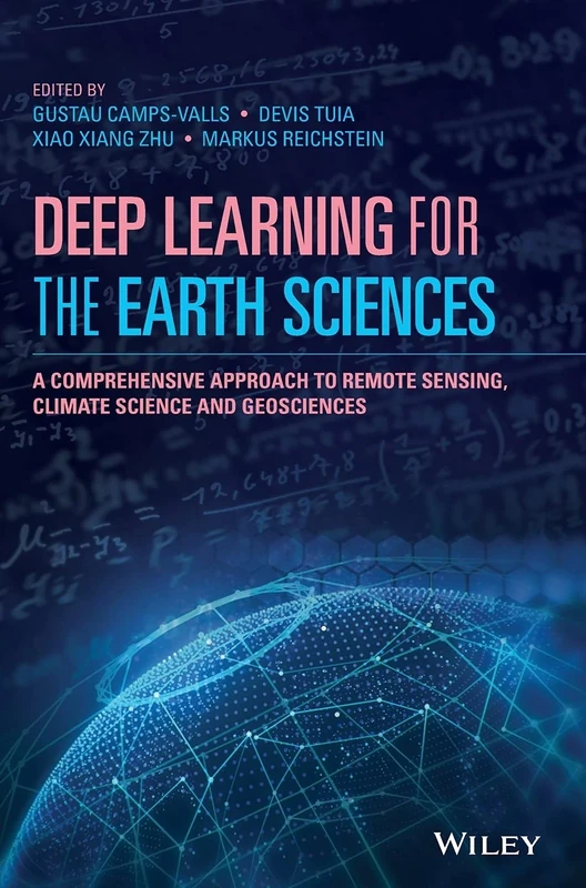
Deep Learning for the Earth Sciences: A Comprehensive Approach to Remote Sensing, Climate Science and Geosciences
Wiley
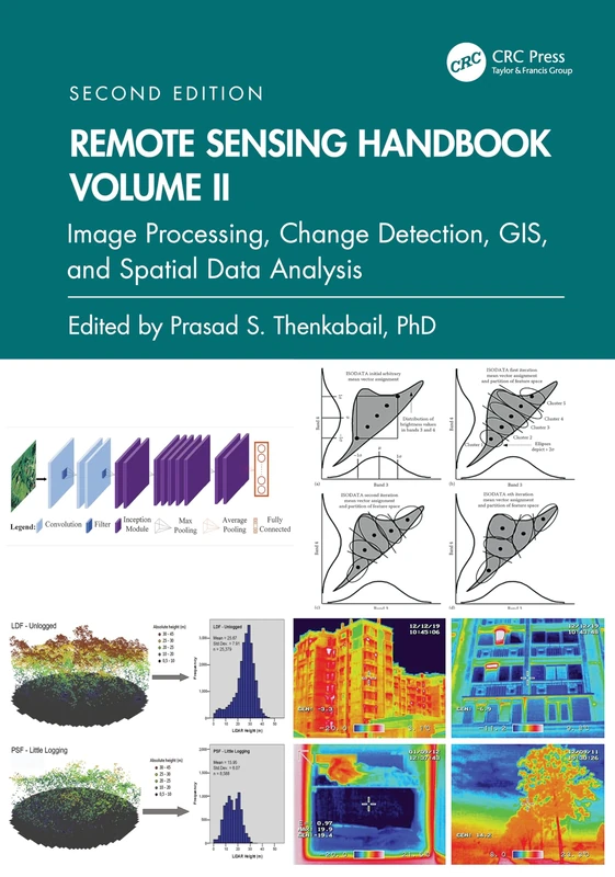
Remote Sensing Handbook, Volume II: Image Processing, Change Detection, GIS, and Spatial Data Analysis: 2
CRC Press
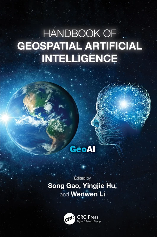
Handbook of Geospatial Artificial Intelligence
CRC Press
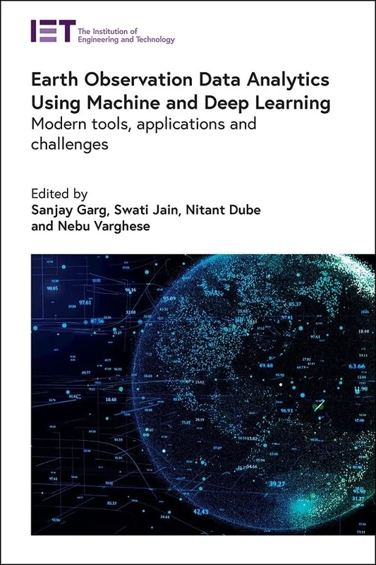
Earth Observation Data Analytics Using Machine and Deep Learning: Modern tools, applications and challenges (Computing and Networks)
Institution of Engineering & Technology
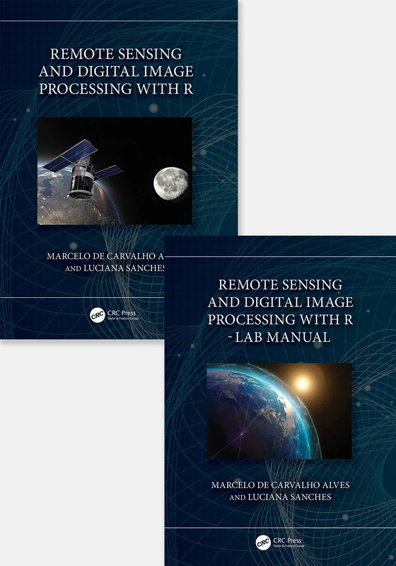
Remote Sensing and Digital Image Processing with R - Textbook and Lab Manual
CRC Press
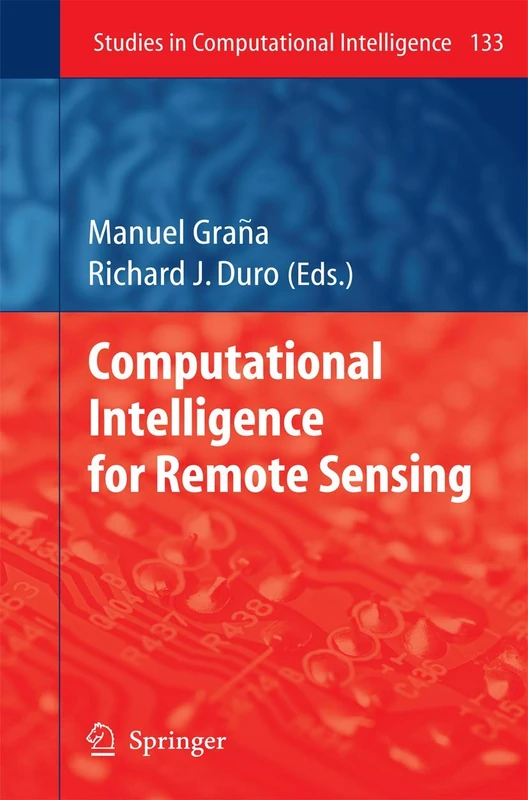
Computational Intelligence for Remote Sensing: 133 (Studies in Computational Intelligence, 133)
Springer

Urban High-Resolution Remote Sensing: Algorithms and Modeling
CRC Press
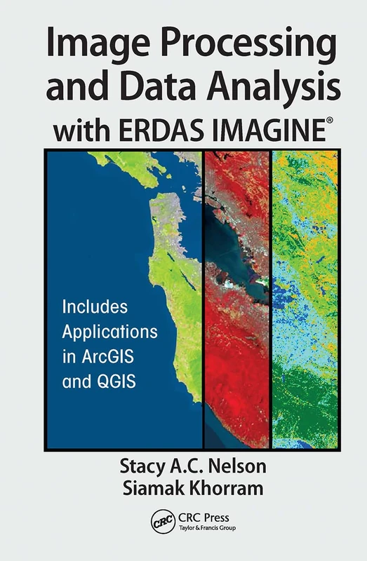
CRC Press - Image Processing and Data Analysis with ERDAS IMAGINE
CRC Press

Multisensor Data Fusion and Machine Learning for Environmental Remote Sensing
CRC Press
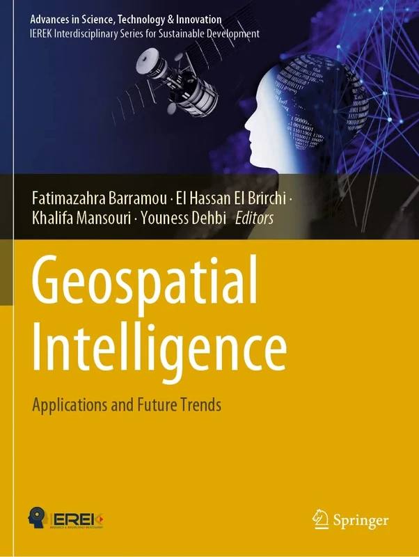
Geospatial Intelligence: Applications and Future Trends (Advances in Science, Technology & Innovation)
Springer

Remote Sensing and Digital Image Processing with R
CRC Press
Essential Image Processing and GIS for Remote Sensing (Essential (John Wiley & Sons))
Wiley

Multitemporal Remote Sensing: Methods and Applications: 20 (Remote Sensing and Digital Image Processing, 20)
Springer
Learning Geospatial Analysis with Python: Understand GIS fundamentals and perform remote sensing data analysis using Python 3.7
Packt Publishing
Comprehensive Remote Sensing
Elsevier
Advances in Mapping from Remote Sensor Imagery: Techniques and Applications
CRC Press

Geoinformation: Remote Sensing, Photogrammetry and Geographic Information Systems, Second Edition
CRC Press
Multi-Sensor and Multi-Temporal Remote Sensing: Specific Single Class Mapping
CRC Press
CRC Press Fundamentals of Satellite Remote Sensing Book
CRC Press
Multispectral Satellite Image Understanding: From Land Classification to Building and Road Detection (Advances in Computer Vision and Pattern Recognition)
Springer