We can't find the internet
Attempting to reconnect
Something went wrong
Hang in there while we get back on track
£47.99
Packt Publishing Learning Geospatial Analysis with Python: Understand GIS fundamentals and perform remote sensing data analysis using Python 3.7
Price data last checked 16 day(s) ago - will refresh soon
We'll watch every seller, every day. One email when your price arrives.
This is the most expensive it has ever been. Walk away.
£48 today · previous high £48 · all-time low £22
NEW HERE?
Amazon shows you one price. We show you all of them.
Tosheroon watches Amazon prices so you don't have to. Every product on Amazon has a price history — we make it visible. Set the price you'd actually pay, and we'll email you the second it gets there. No app, no account, one email.
WHAT'S ON THIS PAGE
when this has been cheap or pricey
where the price is heading next
all-time high & low, recent range
name your number, we'll email you
Price History & Forecast
Grey patches = out of stock. Cheaper = lower on the chart. Hover for exact prices.
Last 75 days · 75 data points (no recent data)
Price Distribution
Price distribution over 75 days • 6 price levels
Price Analysis
Most common price: £48 (23 days, 30.7%)
Price range: £22 - £48
Price levels: 6 different prices over 75 days
Description
Product Specifications
- Brand
- Packt Publishing
- Format
- paperback
- ASIN
- 1789959276
- Domain
- Amazon UK
- Release Date
- 27 September 2019
- Listed Since
- 10 September 2019
Barcode
No barcode data available
Similar Products You Might Like
Mastering Geospatial Analysis with Python: Explore GIS processing and learn to work with GeoDjango, CARTOframes and MapboxGL-Jupyter
Packt Publishing
Geocomputation with Python (Chapman & Hall/CRC The Python Series)
Chapman and Hall/CRC
QGIS Python Programming Cookbook - Second Edition: Automating geospatial development
Packt Publishing
Machine Learning on Geographical Data Using Python: Introduction into Geodata with Applications and Use Cases
Apress
Geospatial Technologies and Climate Change: 10 (Geotechnologies and the Environment, 10)
Springer
Introduction to GIS Programming: A Practical Python Guide to Open Source Geospatial Tools
Mastering QGIS - Second Edition: Go beyond the basics and unleash the full power of QGIS with practical, step-by-step examples
Packt Publishing
Geoinformatics for Sustainable Development in Asian Cities (Springer Geography)
Springer
Advanced Geoinformation Science
CRC Press
Spatially Explicit Hyperparameter Optimization for Neural Networks
Springer
Advances in Mapping from Remote Sensor Imagery: Techniques and Applications
CRC Press
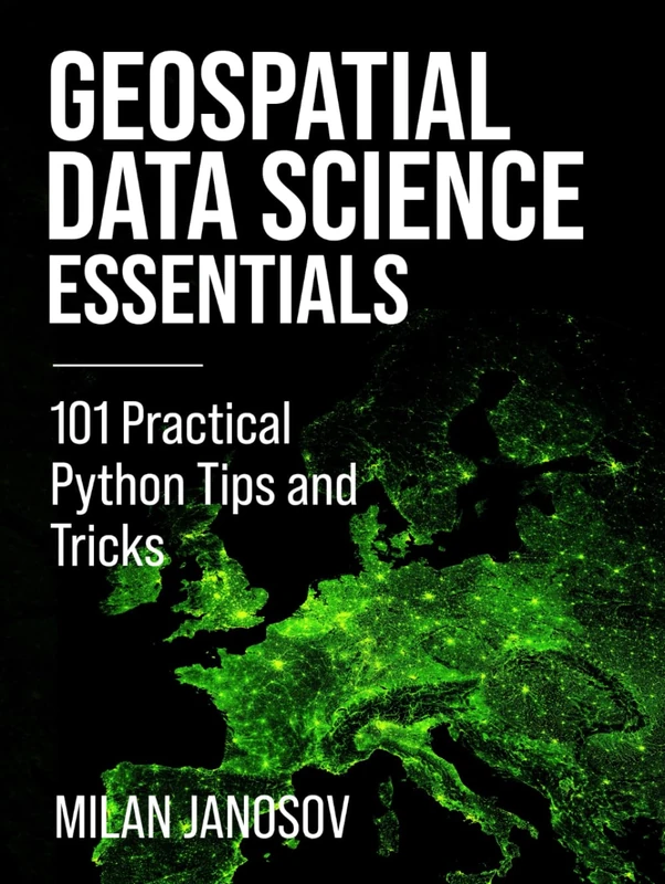
Geospatial Data Science Essentials: 101 Practical Python Tips and Tricks
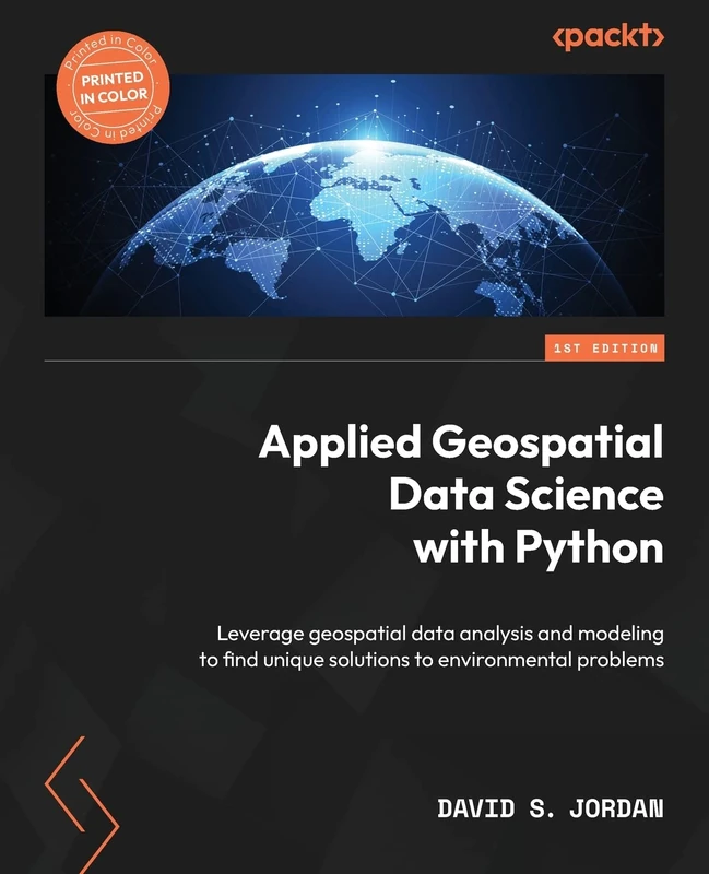
Applied Geospatial Data Science with Python: Leverage geospatial data analysis and modeling to find unique solutions to environmental problems
Packt Publishing
GIS and Environmental Modeling: Progress and Research Issues
Wiley

Geoinformation: Remote Sensing, Photogrammetry and Geographic Information Systems, Second Edition
CRC Press
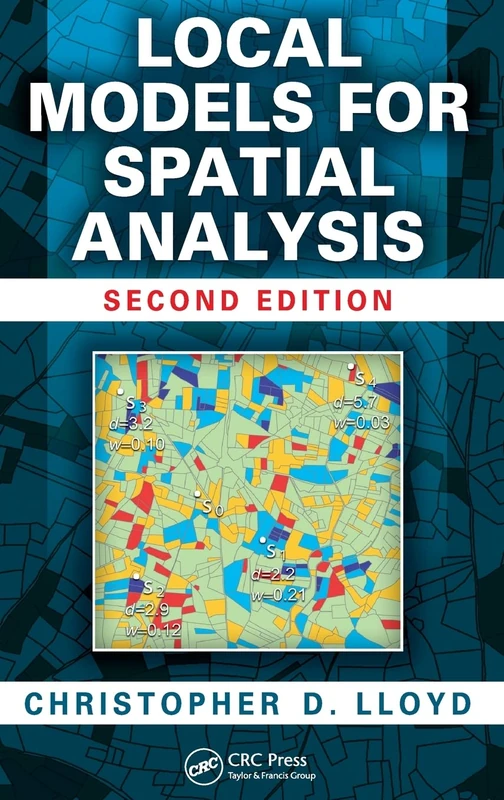
Local Models for Spatial Analysis
CRC Press
Remote Sensing Techniques and GIS Applications in Earth and Environmental Studies
Information Science Reference
The Esri Guide to GIS Analysis, Volume 1: Geographic Patterns and Relationships
Esri Press
Earth Engine and Geemap: Geospatial Data Science with Python
Locate Press
Geographic Information Systems in Urban Planning and Management (Advances in Geographical and Environmental Sciences)
Springer
Methodological Approaches in Physical Geography (Geography of the Physical Environment)
Springer
Python Maps: Geospatial Visualization with Python
Locate Press
Hands-On Geospatial Analysis with R and QGIS: A beginner's guide to manipulating, managing, and analyzing spatial data using R and QGIS 3.2.2
Packt Publishing
A Primer of GIS, Second Edition: Fundamental Geographic and Cartographic Concepts
The Guilford Press