£199.99

It has never been this cheap. We have no record of a lower price.

£200 today · cheaper than every other day in the last 1 months

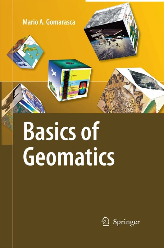
Springer Basics of Geomatics

View at Amazon

Price History & Forecast

Grey patches = out of stock. Cheaper = lower on the chart. Hover for exact prices.

Last 16 days · 16 data points (no recent data)

Historical
Generating forecast…
£199.99 £189.99 £193.99 £197.99 £201.99 £205.99 £209.99 14 September 2026 17 September 2026 21 September 2026 25 September 2026 29 September 2026
View at Amazon ↗

Price data last checked 21 day(s) ago - will refresh soon

NEW HERE?

Amazon shows you one price. We show you all of them.

Tosheroon watches Amazon prices so you don't have to. Every product on Amazon has a price history — we make it visible. Set the price you'd actually pay, and we'll email you the second it gets there. No app, no account, one email.

WHAT'S ON THIS PAGE

↑ Price chart
when this has been cheap or pricey
↑ Forecast
where the price is heading next
↓ Statistics
all-time high & low, recent range
↑ Price alert
name your number, we'll email you

Price Distribution

Price distribution over 16 days • 1 price levels

Days at Price
16 days 0 4 8 12 16 £200 Days at Price

Price Analysis

Most common price: £200 (16 days, 100.0%)

Price range: £200 - £200

Price levels: 1 different prices over 16 days

Description

Geomatics is a neologism, the use of which is becoming increasingly widespread, even if it is not still universally accepted. It includes several disciplines and te- niques for the study of the Earth’s surface and its environments, and computer science plays a decisive role. A more meaningful and appropriate expression is G- spatial Information or GeoInformation. Geo-spatial Information embeds topography in its more modern forms (measurements with electronic instrumentation, sophisticated techniques of data analysis and network compensation, global satellite positioning techniques, laser scanning, etc.), analytical and digital photogrammetry, satellite and airborne remote sensing, numerical cartography, geographical information systems, decision support systems, WebGIS, etc. These specialized elds are intimately interrelated in terms of both the basic science and the results pursued: rigid separation does not allow us to discover several common aspects and the fundamental importance assumed in a search for solutions in the complex survey context. The objective pursued by Mario A. Gomarasca, one that is only apparently modest, is to publish an integrated text on the surveying theme, containing simple and comprehensible concepts relevant to experts in Geo-spatial Information and/or speci cally in one of the disciplines that compose it. At the same time, the book is rigorous and synthetic, describing with precision the main instruments and methods connected to the multiple techniques available today.

Product Specifications

Format
paperback
Domain
Amazon UK
Release Date
28 November 2014
Listed Since
02 December 2014

Barcode

No barcode data available

Similar Products You Might Like
Geo-information: Technologies, Applications and the Environment: 5 (Geotechnologies and the Environment, 5)
86% match

Geo-information: Technologies, Applications and the Environment: 5 (Geotechnologies and the Environment, 5)

Springer
£92.50 07 Aug 2026
Geomatic Methods for the Analysis of Data in the Earth Sciences: 95 (Lecture Notes in Earth Sciences, 95)
85% match

Geomatic Methods for the Analysis of Data in the Earth Sciences: 95 (Lecture Notes in Earth Sciences, 95)

Springer
£121.76 15 Sep 2026
Geoinformation: Remote Sensing, Photogrammetry and Geographical Information Systems
85% match

Geoinformation: Remote Sensing, Photogrammetry and Geographical Information Systems

CRC Press
£125.00 23 Aug 2026
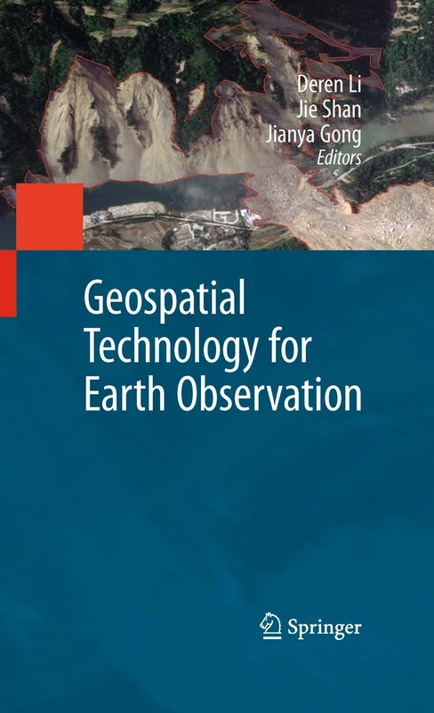
Geospatial Technology for Earth Observation
84% match

Geospatial Technology for Earth Observation

Springer
£109.08 18 Aug 2026
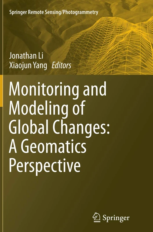
Monitoring and Modeling of Global Changes: A Geomatics Perspective (Springer Remote Sensing/Photogrammetry)
82% match

Monitoring and Modeling of Global Changes: A Geomatics Perspective (Springer Remote Sensing/Photogrammetry)

Springer
£74.74 16 Sep 2026
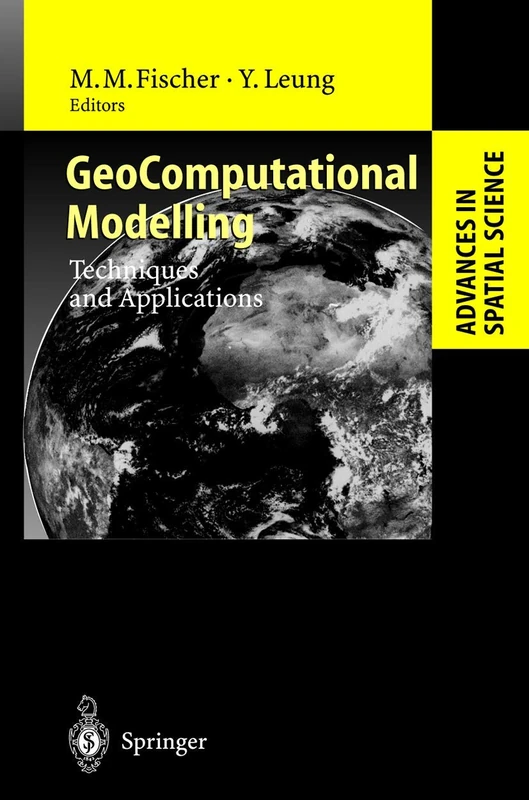
GeoComputational Modelling: Techniques and Applications (Advances in Spatial Science)
82% match

GeoComputational Modelling: Techniques and Applications (Advances in Spatial Science)

Springer
£76.42 10 Aug 2026
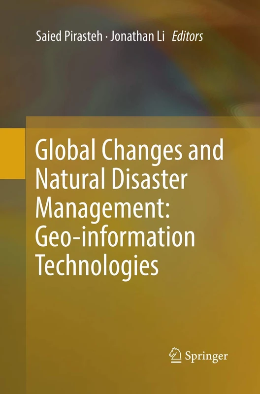
Global Changes and Natural Disaster Management: Geo-information Technologies
82% match

Global Changes and Natural Disaster Management: Geo-information Technologies

Springer
£108.91 07 Aug 2026
Grundlagen der angewandten Geoinformatik
82% match

Grundlagen der angewandten Geoinformatik

£58.00 29 Sep 2026
Fondamenti di telerilevamento e G.I.S.
82% match

Fondamenti di telerilevamento e G.I.S.

£57.33 17 Sep 2026
Progress and New Trends in 3D Geoinformation Sciences (Lecture Notes in Geoinformation and Cartography)
82% match

Progress and New Trends in 3D Geoinformation Sciences (Lecture Notes in Geoinformation and Cartography)

Springer
£108.01 05 Aug 2026
Trends in Geomatics: An Earth Science Perspective
81% match

Trends in Geomatics: An Earth Science Perspective

IntechOpen
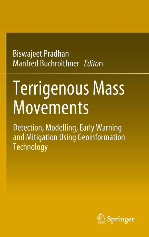
£98.72 14 Sep 2026
Terrigenous Mass Movements: Detection, Modelling, Early Warning and Mitigation Using Geoinformation Technology
81% match

Terrigenous Mass Movements: Detection, Modelling, Early Warning and Mitigation Using Geoinformation Technology

Springer
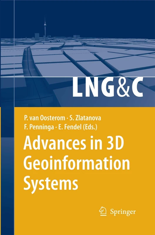
£76.42 08 Aug 2026
Advances in 3D Geoinformation Systems (Lecture Notes in Geoinformation and Cartography)
81% match

Advances in 3D Geoinformation Systems (Lecture Notes in Geoinformation and Cartography)

Springer
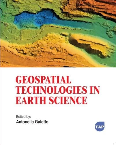
£27.00 05 Aug 2026
Geospatial Technologies in Earth Science
81% match

Geospatial Technologies in Earth Science

Toronto Academic Press
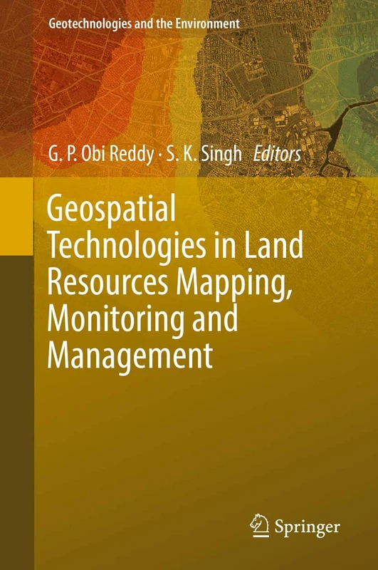
£77.66 31 Aug 2026
Geospatial Technologies in Land Resources Mapping, Monitoring and Management: 21 (Geotechnologies and the Environment, 21)
81% match

Geospatial Technologies in Land Resources Mapping, Monitoring and Management: 21 (Geotechnologies and the Environment, 21)

Springer
£104.67 15 Sep 2026
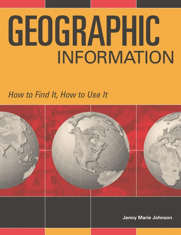
Geographic Information: How to Find It, How to Use It
81% match

Geographic Information: How to Find It, How to Use It

Bloomsbury
£48.57 31 Aug 2026
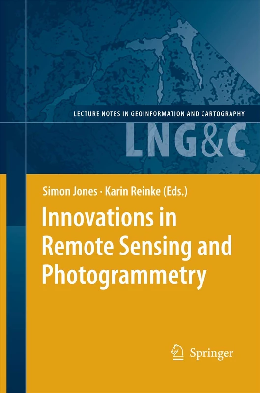
Innovations in Remote Sensing and Photogrammetry (Lecture Notes in Geoinformation and Cartography)
81% match

Innovations in Remote Sensing and Photogrammetry (Lecture Notes in Geoinformation and Cartography)

Springer
£109.08 08 Aug 2026
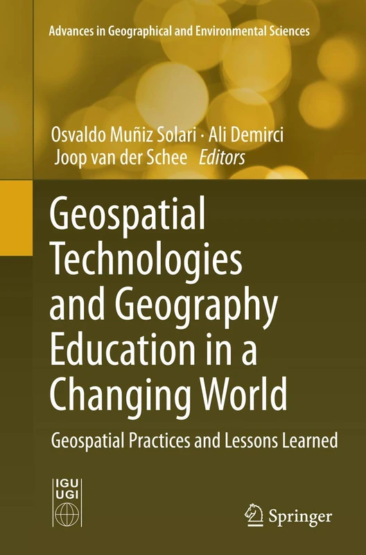
Geospatial Technologies and Geography Education in a Changing World: Geospatial Practices and Lessons Learned (Advances in Geographical and Environmental Sciences)
80% match

Geospatial Technologies and Geography Education in a Changing World: Geospatial Practices and Lessons Learned (Advances in Geographical and Environmental Sciences)

Springer
£108.75 17 Oct 2026
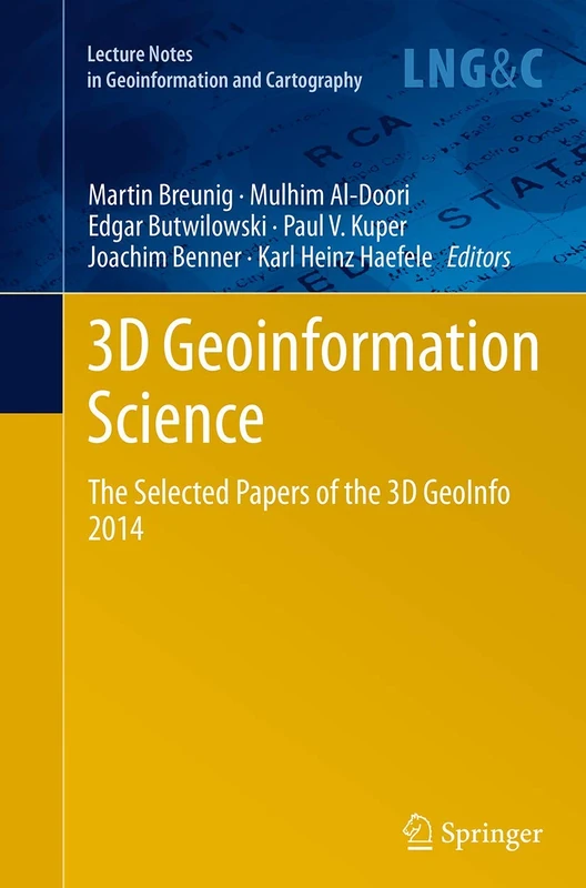
3D Geoinformation Science: The Selected Papers of the 3D GeoInfo 2014 (Lecture Notes in Geoinformation and Cartography)
80% match

3D Geoinformation Science: The Selected Papers of the 3D GeoInfo 2014 (Lecture Notes in Geoinformation and Cartography)

Springer
£76.42 09 Sep 2026
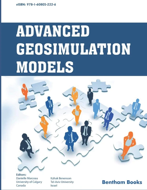
Advanced Geo-Simulation Models
80% match

Advanced Geo-Simulation Models

Bentham Science Publishers
£87.87 15 Sep 2026
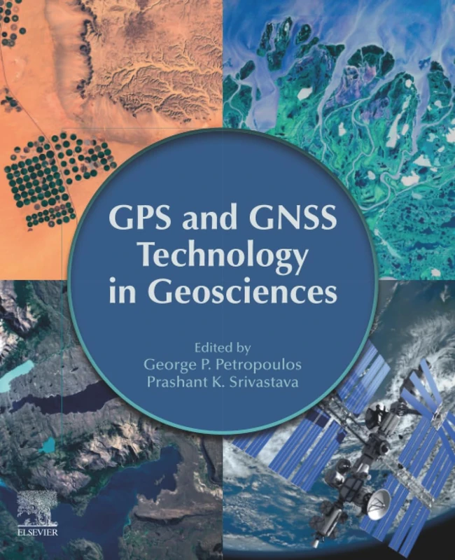
GPS and GNSS Technology in Geosciences
80% match

GPS and GNSS Technology in Geosciences

Elsevier
£113.16 08 Aug 2026
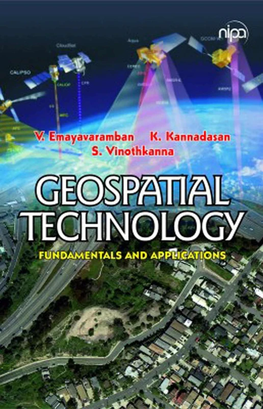
Geospatial Technology: Fundamentals & Applications: Fundamentals & Applications
80% match

Geospatial Technology: Fundamentals & Applications: Fundamentals & Applications

NEW INDIA PUBLISHING AGENCY- NIPA

£26.87 29 Sep 2026
V Hotine-Marussi Symposium on Mathematical Geodesy: Matera, Italy June 17–21, 2003: 127 (International Association of Geodesy Symposia, 127)
80% match

V Hotine-Marussi Symposium on Mathematical Geodesy: Matera, Italy June 17–21, 2003: 127 (International Association of Geodesy Symposia, 127)

Springer
£147.43 06 Aug 2026
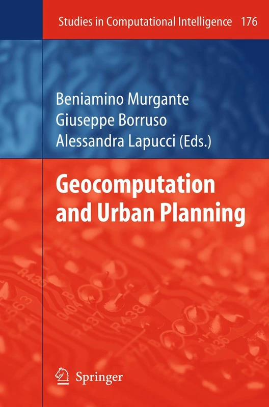
Geocomputation and Urban Planning: 176 (Studies in Computational Intelligence, 176)
80% match

Geocomputation and Urban Planning: 176 (Studies in Computational Intelligence, 176)

Springer

£67.74 15 Sep 2026