We can't find the internet
Attempting to reconnect
Something went wrong!
Hang in there while we get back on track
£125.00
CRC Press Geoinformation: Remote Sensing, Photogrammetry and Geographical Information Systems
Price data checked 5 days ago
We'll watch every seller, every day. One email when your price arrives.
New to our records — first sighting 16 days ago. We'll learn its rhythm.
16 days of data · current price £125
NEW HERE?
Amazon shows you one price. We show you all of them.
Tosheroon watches Amazon prices so you don't have to. Every product on Amazon has a price history — we make it visible. Set the price you'd actually pay, and we'll email you the second it gets there. No app, no account, one email.
WHAT'S ON THIS PAGE
when this has been cheap or pricey
where the price is heading next
all-time high & low, recent range
name your number, we'll email you
Price History & Forecast
Grey patches = out of stock. Cheaper = lower on the chart. Hover for exact prices.
Last 12 days • 12 data points (No recent data available)
Price Distribution
Price distribution over 12 days • 1 price levels
Price Analysis
Most common price: £125 (12 days, 100.0%)
Price range: £125 - £125
Price levels: 1 different prices over 12 days
Description
Product Specifications
- Brand
- CRC Press
- Format
- hardcover
- ASIN
- 0415237947
- Domain
- Amazon UK
- Release Date
- 03 October 2002
- Listed Since
- 05 February 2007
Barcode
No barcode data available
Similar Products You Might Like
Geo-information: Technologies, Applications and the Environment: 5 (Geotechnologies and the Environment, 5)
Springer
Innovations in Remote Sensing and Photogrammetry (Lecture Notes in Geoinformation and Cartography)
Springer
Advances in 3D Geoinformation Systems (Lecture Notes in Geoinformation and Cartography)
Springer
Progress and New Trends in 3D Geoinformation Sciences (Lecture Notes in Geoinformation and Cartography)
Springer
Computer Processing of Remotely-Sensed Images
Wiley-Blackwell
GPS and GNSS Technology in Geosciences
Elsevier
Understanding Forest Disturbance and Spatial Pattern: Remote Sensing and GIS Approaches
CRC Press
Remote Sensing Image Fusion: A Practical Guide
CRC Press
Global Changes and Natural Disaster Management: Geo-information Technologies
Springer
Geospatial Technologies and Geography Education in a Changing World: Geospatial Practices and Lessons Learned (Advances in Geographical and Environmental Sciences)
Springer
Photogrammetric Computer Vision: Statistics, Geometry, Orientation and Reconstruction: 11 (Geometry and Computing, 11)
Springer
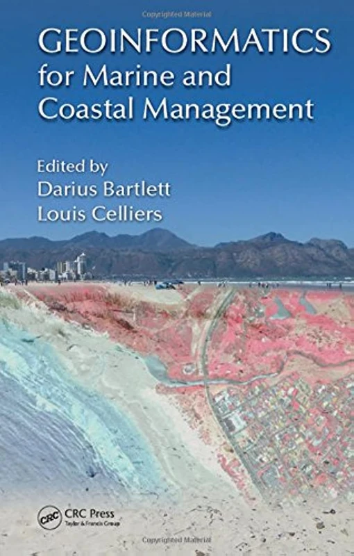
Geoinformatics for Marine and Coastal Management
CRC Press
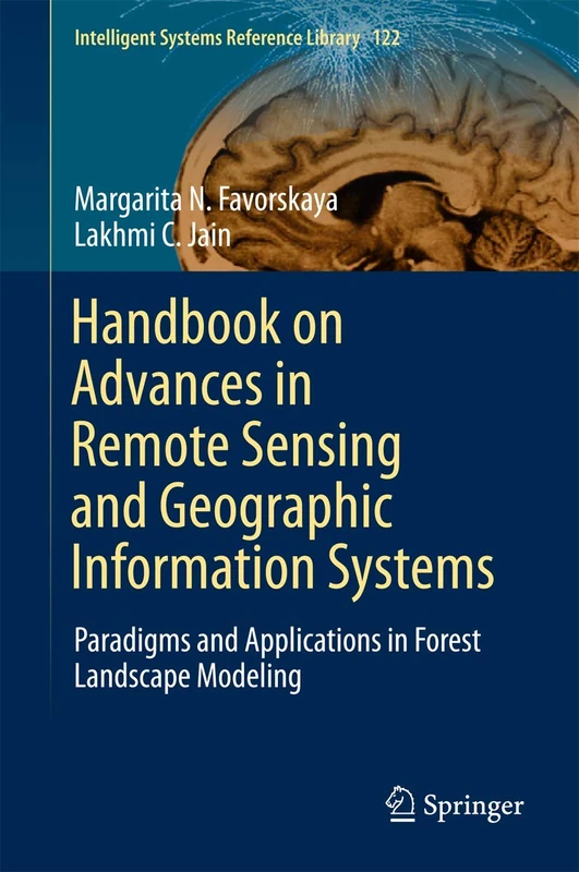
Handbook on Advances in Remote Sensing and Geographic Information Systems: Paradigms and Applications in Forest Landscape Modeling: 122 (Intelligent Systems Reference Library, 122)
Springer

Mathematical Models for Remote Sensing Image Processing: Models and Methods for the Analysis of 2D Satellite and Aerial Images (Signals and Communication Technology)
Springer
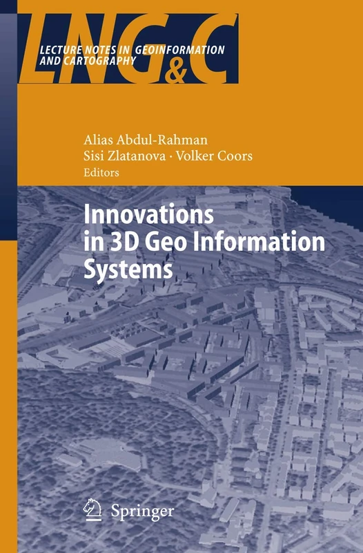
Innovations in 3D Geo Information Systems (Lecture Notes in Geoinformation and Cartography)
Springer
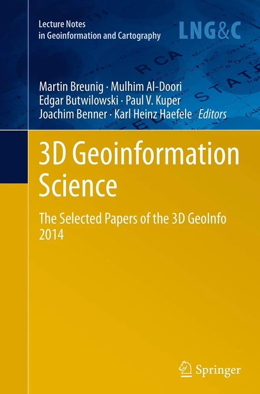
3D Geoinformation Science: The Selected Papers of the 3D GeoInfo 2014 (Lecture Notes in Geoinformation and Cartography)
Springer

Optical Remote Sensing: Advances in Signal Processing and Exploitation Techniques: 3 (Augmented Vision and Reality, 3)
Springer
Environmental Monitoring using GNSS: Global Navigation Satellite Systems (Environmental Science and Engineering)
Springer
Flood Monitoring through Remote Sensing (Springer Remote Sensing/Photogrammetry)
Springer
Mobile Information Systems Leveraging Volunteered Geographic Information for Earth Observation: 4 (Earth Systems Data and Models, 4)
Springer
Fundamentals of Spatial Information Systems (Apic Studies in Data Processing)
Academic Press
Terrigenous Mass Movements: Detection, Modelling, Early Warning and Mitigation Using Geoinformation Technology
Springer
Database Issues in Geographic Information Systems: 6 (Advances in Database Systems, 6)
Springer
Geoinformatik: Handbuch der Geodäsie, herausgegeben von Willi Freeden und Reiner Rummel (Springer Reference Naturwissenschaften)
Springer Spektrum