We can't find the internet
Attempting to reconnect
Something went wrong!
Hang in there while we get back on track
£106.37
Springer Handbook on Advances in Remote Sensing and Geographic Information Systems: Paradigms and Applications in Forest Landscape Modeling: 122 (Intelligent Systems Reference Library, 122)
9783319523064
Price data last checked 34 day(s) ago - refreshing...
We'll watch every seller, every day. One email when your price arrives.
About as cheap as it gets. The only time it was cheaper was 1 month ago.
£106 today · all-time low £104 (May 2026) · usually the usual
NEW HERE?
Amazon shows you one price. We show you all of them.
Tosheroon watches Amazon prices so you don't have to. Every product on Amazon has a price history — we make it visible. Set the price you'd actually pay, and we'll email you the second it gets there. No app, no account, one email.
WHAT'S ON THIS PAGE
when this has been cheap or pricey
where the price is heading next
all-time high & low, recent range
name your number, we'll email you
Price History & Forecast
Grey patches = out of stock. Cheaper = lower on the chart. Hover for exact prices.
Last 57 days • 57 data points (No recent data available)
Price Distribution
Price distribution over 57 days • 4 price levels
Price Analysis
Most common price: £109 (27 days, 47.4%)
Price range: £104 - £109
Price levels: 4 different prices over 57 days
Description
Product Specifications
- Brand
- Springer
- Model
- 9783319523064
- Format
- hardcover
- ASIN
- 3319523066
- Domain
- Amazon UK
- Release Date
- 06 March 2017
- Listed Since
- 14 December 2016
Barcode
No barcode data available
Similar Products You Might Like
Advances in 3D Geoinformation Systems (Lecture Notes in Geoinformation and Cartography)
Springer
Innovations in Remote Sensing and Photogrammetry (Lecture Notes in Geoinformation and Cartography)
Springer
Remote Sensing and Climate Modeling: Synergies and Limitations: 7 (Advances in Global Change Research, 7)
Springer
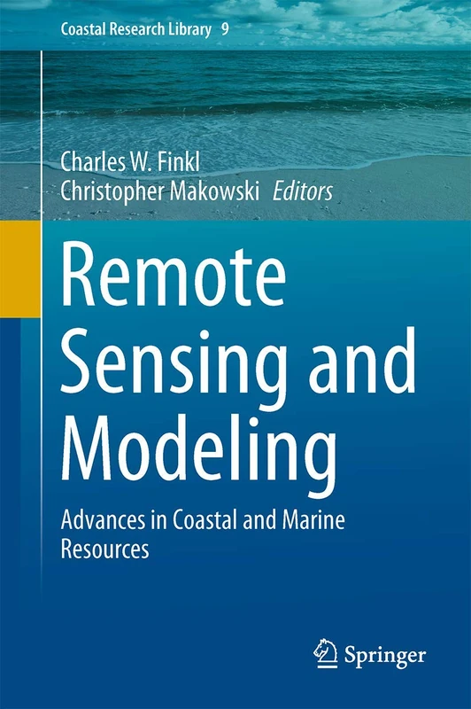
Remote Sensing and Modeling: Advances in Coastal and Marine Resources: 9 (Coastal Research Library, 9)
Springer
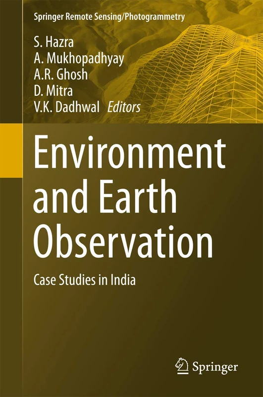
Environment and Earth Observation: Case Studies in India (Springer Remote Sensing/Photogrammetry)
Springer
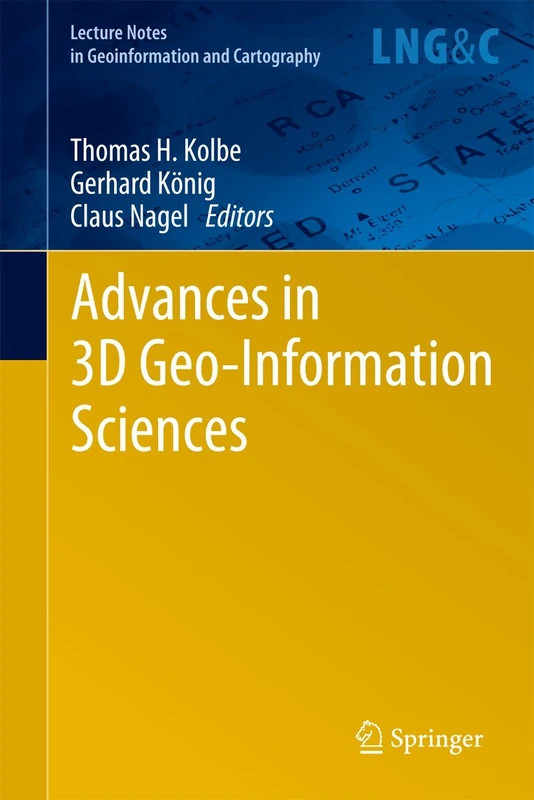
Advances in 3D Geo-Information Sciences (Lecture Notes in Geoinformation and Cartography)
Springer
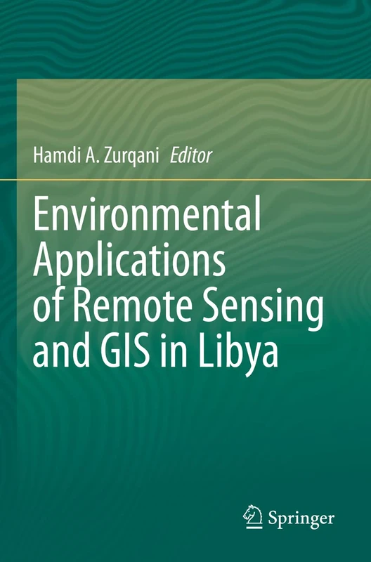
Environmental Applications of Remote Sensing and GIS in Libya
Springer
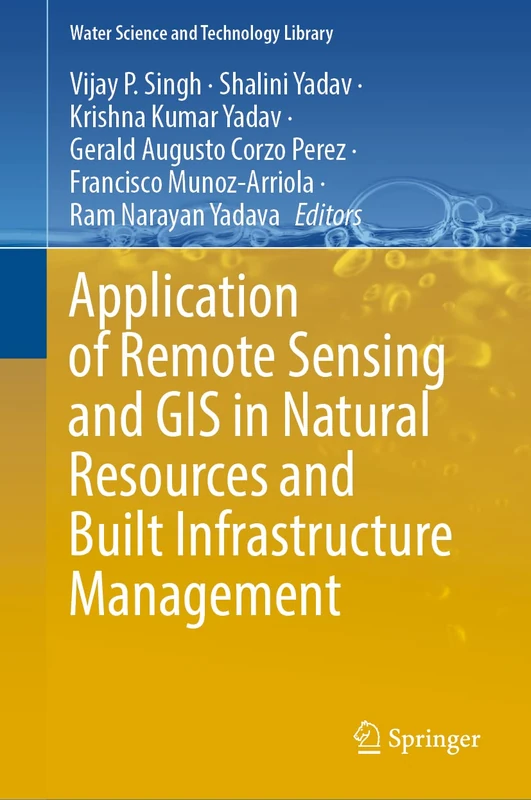
Application of Remote Sensing and GIS in Natural Resources and Built Infrastructure Management: 105 (Water Science and Technology Library, 105)
Springer
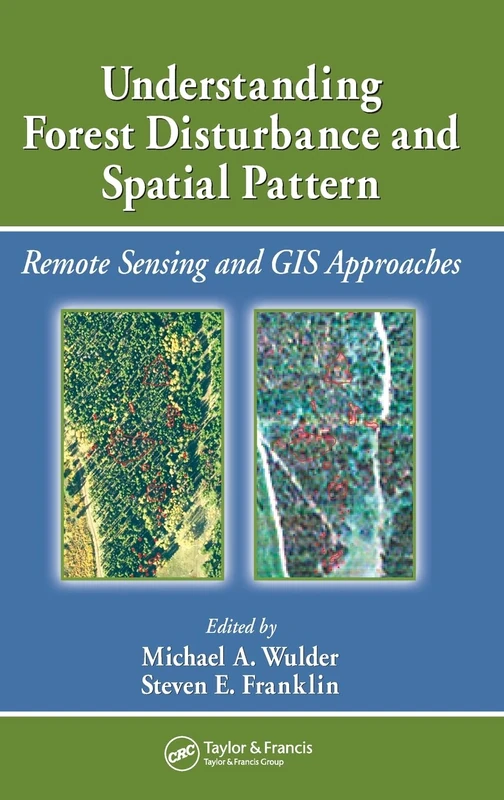
Understanding Forest Disturbance and Spatial Pattern: Remote Sensing and GIS Approaches
CRC Press
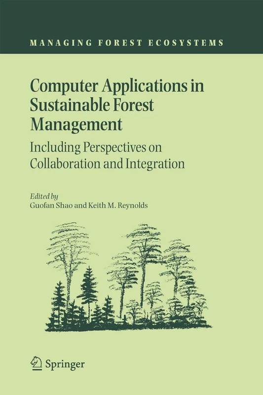
Computer Applications in Sustainable Forest Management: Including Perspectives on Collaboration and Integration: 11 (Managing Forest Ecosystems, 11)
Springer
Fundamentals and Advances in Remote Sensing: From Principles to AI Applications
Elsevier
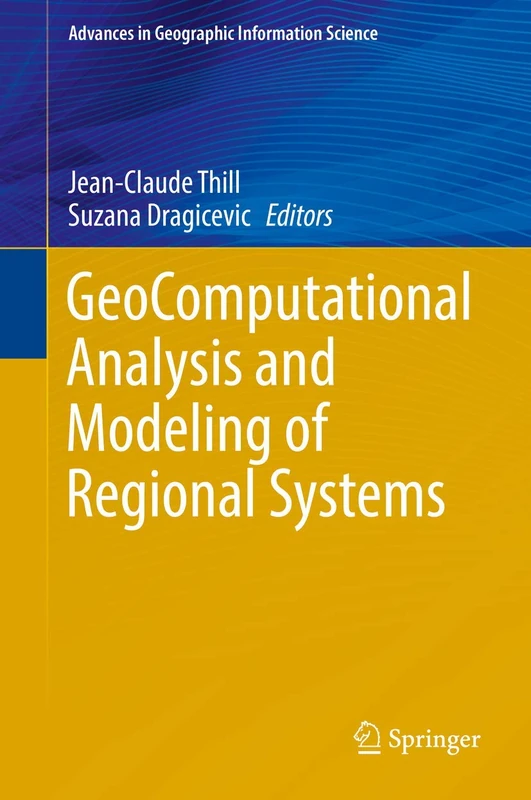
GeoComputational Analysis and Modeling of Regional Systems (Advances in Geographic Information Science)
Springer

Mathematical Models for Remote Sensing Image Processing: Models and Methods for the Analysis of 2D Satellite and Aerial Images (Signals and Communication Technology)
Springer
Advanced Geospatial Intelligence and AI for Environmental Resilience and Sustainable Development (Advances in Geographic Information Science)
Springer
Open Source Approaches in Spatial Data Handling (Advances in Geographic Information Science)
Springer
Mobile Information Systems Leveraging Volunteered Geographic Information for Earth Observation: 4 (Earth Systems Data and Models, 4)
Springer

Advances in Spatial Data Handling and GIS: 14th International Symposium on Spatial Data Handling (Lecture Notes in Geoinformation and Cartography)
Springer
Advances in Spatial Data Handling and GIS: 14th International Symposium on Spatial Data Handling (Lecture Notes in Geoinformation and Cartography)
Springer
Innovations in 3D Geo Information Systems (Lecture Notes in Geoinformation and Cartography)
Springer
Time-Sensitive Remote Sensing
Springer
Geo-information: Technologies, Applications and the Environment: 5 (Geotechnologies and the Environment, 5)
Springer
Revealing Ecosystem Services Through Geospatial Technologies: Beyond the Surface (Springer Remote Sensing/Photogrammetry)
Springer
Remote Sensing for Characterization of Geohazards and Natural Resources (Springer Remote Sensing/Photogrammetry)
Springer
Geospatial Technologies for Integrated Water Resources Management: Mapping, Modelling, and Decision-Making (GIScience and Geo-environmental Modelling)
Springer